
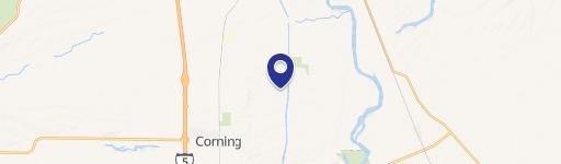
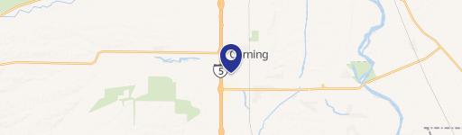
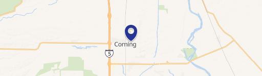
0 Corning Rd, Corning, CA 96021
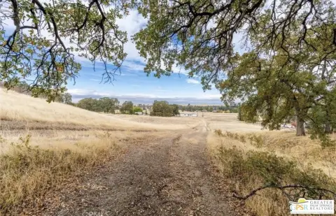
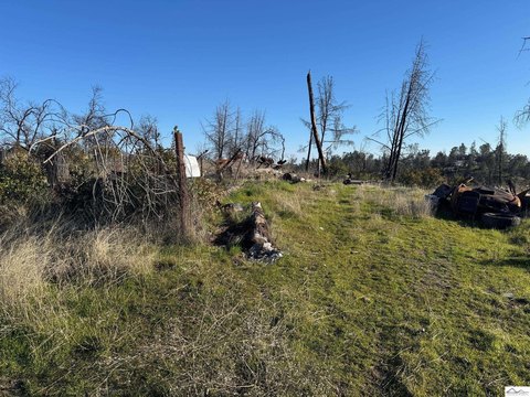
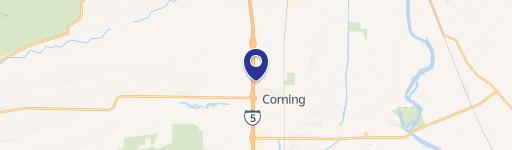
This exceptional 10-acre parcel of agricultural land presents a unique investment opportunity in Corning, California. Located on Corning Rd, this property boasts a remarkably flat topography, ideal for a variety of agricultural uses. The land is conveniently situated in Tehama County, with the zip code 96021. The property's Assessed Parcel Number (APN) is 087-250-008-000, providing easy identification and verification. Offered at an attractive price of $120,000, this property represents a compelling value proposition for buyers seeking agricultural land in a desirable California location. The flat terrain minimizes challenges associated with land preparation and cultivation, making it suitable for various farming practices or potential development projects. Its location in Corning offers access to local resources and infrastructure, further enhancing its appeal. This is a rare opportunity to acquire a sizable, level tract of agricultural land in a thriving area. The property is being sold directly by the owner, offering a streamlined transaction process. Serious inquiries are encouraged to explore the full potential of this valuable asset. The geographical coordinates are 39.962365 latitude and -122.1781546 longitude. Don't miss this chance to own a piece of productive California farmland.
Cap rate
Implied · in-place · derived from last sale + estimated NOIValue
AI, CAP & Alternative Use estimations · Realmo proprietary blendComparables
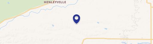
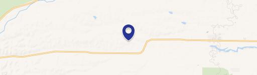
6 recent transactions · within 1.5 miComparable in this City


Similar Nearby for Sale


Similar Nearby for Lease


Property description
Physical attributes from public recordsZoning & alternative use
No recorded transactions found for this property.
Costs & Benchmarks
Operating expenses, capex projections, utility benchmarks, and submarket comparables — all in one view.
Risks
Flood, climate, environmental, title, and tenant-concentration risk — surfaced with mitigations and source citations.


