00000 Missouri Ave Tonopah, AZ 85354
Property profile & analytics
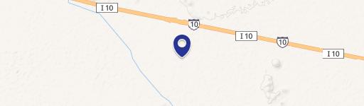
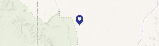
Location Intelligence
Current Use by Public Records
- Land
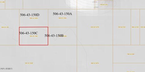
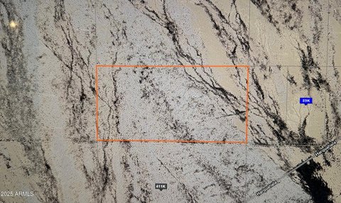
Property Details for 00000 Missouri Ave
- Lot size
- 1.62 lot acres
- Property type
- Land
Description
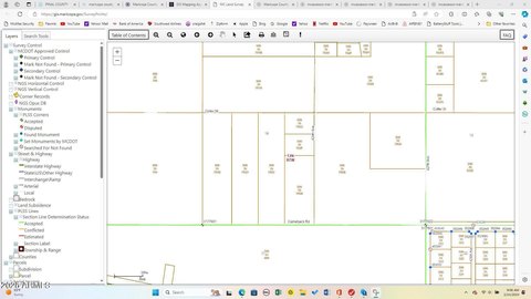
This exceptional 1.62-acre residential lot presents a unique opportunity in Tonopah, Arizona. Located at 00000 W Missouri Avenue, Lot 491, this property boasts a desirable R-43 zoning designation. Situated north of I-10 in West Phoenix Estates, the lot offers expansive views and is surrounded by attractive homes. The property is conveniently located near schools and the freeway, providing easy access to amenities and transportation. While situated within a floodplain, the ample space allows for considerable design flexibility in building your dream home. Property lines are clearly marked with PVC and large metal stakes for easy identification. The absence of a homeowner's association (HOA) provides additional freedom and flexibility. This large lot, priced at $58,850, represents an excellent value for those seeking to build in a peaceful yet accessible location. The address is 00000 W Missouri Avenue Lot 491, Tonopah, AZ 85354, in Maricopa County. The lot is conveniently located near the intersection of 412th Avenue and Missouri Avenue.
Value Estimations
based on Realmo’s proprietary methodology
-
AI approach
-
CAP approach
-
Comparable approach
-
Alternative Use
Location Insight
- Map
- Local Demand
- City
- Tonopah
- County
- Maricopa
- State
- Arizona
- Longitude
- -112.94
- Latitude
- 33.5158