
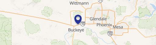
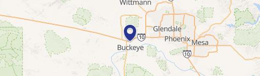
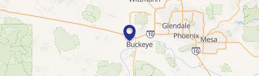
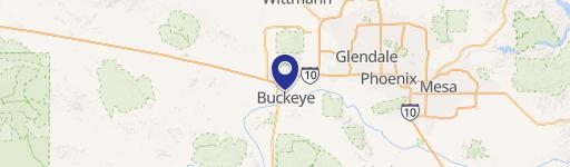
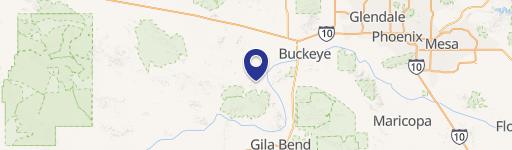
0 Lower Buckeye Rd, Buckeye, AZ 85326
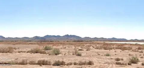
This exceptional 4.42-acre commercial land parcel presents a remarkable investment opportunity in the rapidly expanding city of Buckeye, Arizona. Located at the intersection of Watson Road and Lower Buckeye Road, this property is zoned for Planned Community development and boasts convenient access to major transportation arteries. Situated just 1.5 miles from Interstate 10, this site offers unparalleled connectivity and visibility. The area is experiencing significant residential growth, with existing and planned communities surrounding the property, creating a robust and expanding customer base. Furthermore, the property benefits from proximity to established retail giants such as Fry's Marketplace and Walmart Supercenter, located just one mile away. All utilities are readily available at the site. Buckeye's impressive growth trajectory, consistently ranked as one of the fastest-growing cities in the nation for the past five years, is further underscored by its current population of 114,000 residents, boasting an average household income of $113,647 and a median age of 34.5. This demographic profile indicates a strong and affluent market for commercial ventures. The property's APN is 504-22-293E. This prime location and the city's dynamic growth make this a truly exceptional opportunity for retail or office development. Don't miss out on this chance to capitalize on Buckeye's thriving commercial landscape.
Cap rate
Implied · in-place · derived from last sale + estimated NOIValue
AI, CAP & Alternative Use estimations · Realmo proprietary blendComparables
6 recent transactions · within 1.5 miComparable in this City


Similar Nearby for Sale


Similar Nearby for Lease


Property description
Physical attributes from public recordsZoning & alternative use
No recorded transactions found for this property.
Costs & Benchmarks
Operating expenses, capex projections, utility benchmarks, and submarket comparables — all in one view.
Risks
Flood, climate, environmental, title, and tenant-concentration risk — surfaced with mitigations and source citations.


