
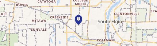
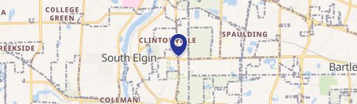
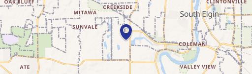
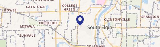
8N675 Il-25, South Elgin, IL 60177
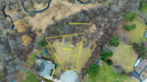
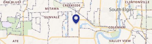
This exceptional 15.33-acre parcel, located at 8N675 Route 25 in South Elgin, Illinois (Kane County, zip code 60177), presents a unique opportunity for commercial development. The property is zoned as a Planned Development District, offering significant potential for a variety of industrial and commercial uses. Its strategic infill location is surrounded by existing development, ensuring immediate access to infrastructure and a thriving business community. The Future Land Use Map designates this area for commercial use, further solidifying its long-term value. Conveniently situated just west of Route 59, the site benefits from exceptional visibility and accessibility. High traffic counts are a key advantage, with 16,500 vehicles daily on Route 25 and 6,800 vehicles daily on Bartlett Road. Utilities are readily available on-site. The low Kane County taxes represent a significant cost advantage. The property's APN is 06-36-200-033 and the PIN number is also 06-36-200-033. Annual property taxes are currently $369. The asking price for this remarkable opportunity is $5,700,000. Detailed information and site plans are available upon request.
Cap rate
Implied · in-place · derived from last sale + estimated NOIValue
AI, CAP & Alternative Use estimations · Realmo proprietary blendComparables
6 recent transactions · within 1.5 miComparable in this City


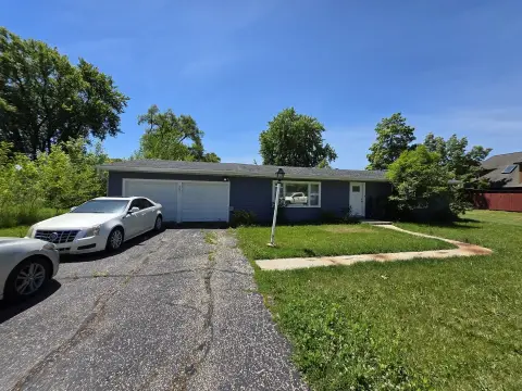
Similar Nearby for Sale


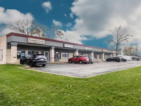
Similar Nearby for Lease


Property description
Physical attributes from public recordsZoning & alternative use
No recorded transactions found for this property.
Costs & Benchmarks
Operating expenses, capex projections, utility benchmarks, and submarket comparables — all in one view.
Risks
Flood, climate, environmental, title, and tenant-concentration risk — surfaced with mitigations and source citations.


