
0 Palmdale Blvd, Palmdale, CA 93591
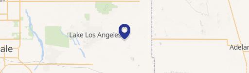
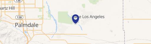
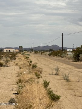
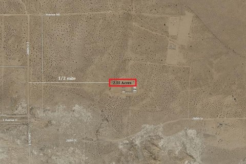
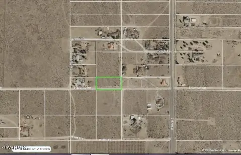
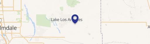
This exceptional 2.51-acre property, located in Palmdale, California, presents a unique opportunity for agricultural and residential development. Situated near the intersection of Vic Avenue V14 and 200 E Palmdale, this land boasts an A11 zoning designation, permitting agricultural activities, animal husbandry, and the construction of a home. The lot's size offers ample space for various projects, from establishing a small farm to building a custom residence. The property's location is convenient, with Pearblossom Highway and 200th Street East nearby. The Assessor's Parcel Number (APN) is 3083-008-004. While power is approximately 665 feet away, off of 200th Street East, the property's potential is undeniable. The southwest corner of the lot is geographically located at Latitude 34.50047 and Longitude -117.77177. This versatile land parcel in Los Angeles County, zip code 93591, offers a compelling investment opportunity for those seeking a blend of rural living and agricultural potential. The asking price for this 2.51-acre parcel is $25,000.
Cap rate
Implied · in-place · derived from last sale + estimated NOIValue
AI, CAP & Alternative Use estimations · Realmo proprietary blendComparables
6 recent transactions · within 1.5 miComparable in this City


Similar Nearby for Sale
Property description
Physical attributes from public recordsZoning & alternative use
No recorded transactions found for this property.
Costs & Benchmarks
Operating expenses, capex projections, utility benchmarks, and submarket comparables — all in one view.
Risks
Flood, climate, environmental, title, and tenant-concentration risk — surfaced with mitigations and source citations.


