
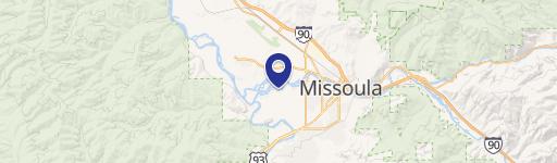
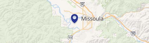
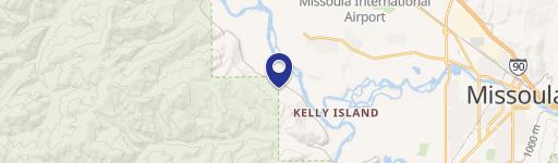
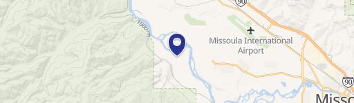
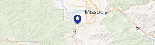
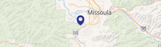
0 Nhn Cedar Rdg Rd, Missoula, MT 59804
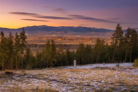
This exceptional 50.82-acre commercial land parcel presents a unique investment opportunity in Missoula, Montana. Located on NHN Cedar Ridge Road, zip code 59804, the property boasts breathtaking views overlooking the Missoula Valley. The land is characterized by a mature forest featuring Douglas Fir, Western Larch, Ponderosa Pine, and native wildflowers. This idyllic setting offers both privacy and convenience, with proximity to the vibrant Missoula community. The property is adjacent to thousands of acres of US Forest Service land and the Blue Mountain Recreation Area, providing ample opportunities for outdoor recreation. Several desirable building sites are available, allowing for the development of a variety of commercial projects. The asking price for this remarkable property is $599,000. The property's location offers a blend of natural beauty and urban accessibility, making it an ideal location for those seeking a unique commercial venture in a desirable Montana setting. The latitude and longitude coordinates are 46.8464546, -114.14275 respectively. This is a rare opportunity to acquire a significant land holding in a rapidly growing area.
Cap rate
Implied · in-place · derived from last sale + estimated NOIValue
AI, CAP & Alternative Use estimations · Realmo proprietary blendComparables
6 recent transactions · within 1.5 miComparable in this City
Similar Nearby for Sale


Property description
Physical attributes from public recordsZoning & alternative use
No recorded transactions found for this property.
Costs & Benchmarks
Operating expenses, capex projections, utility benchmarks, and submarket comparables — all in one view.
Risks
Flood, climate, environmental, title, and tenant-concentration risk — surfaced with mitigations and source citations.


