
2400 Mullan Rd, Superior, MT 59872
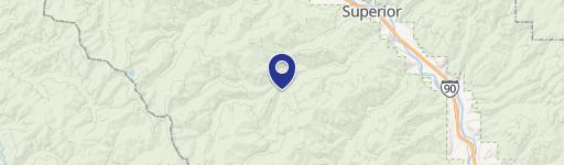
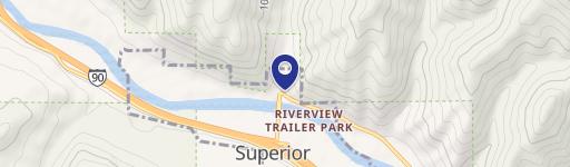
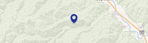
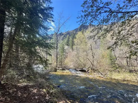
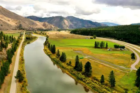
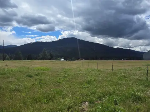
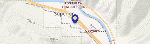
This exceptional 57.58-acre commercial land parcel, located at 2400 Mullan Road West in Superior, Montana (zip code 59872), presents a unique investment opportunity. The property, situated in Mineral County, boasts convenient access via a high-volume easement, making it ideal for various development projects. Historically used as a gravel mine, the seller is actively working to complete the reclamation process, having already secured a DEQ bond. This significant undertaking opens the door for a wide range of possibilities, from establishing a trailer park to creating a high-density residential development. The property's expansive size offers a blank canvas for ambitious development plans. Beyond commercial ventures, the land also presents potential for personal use, such as a private residence or recreational space. Its proximity to Interstate 90 ensures excellent accessibility, while the nearby Lolo National Forest and Clark Fork River provide abundant recreational opportunities. A boundary line adjustment is underway, with the seller potentially retaining 10-15 acres, which may be negotiable along with a home on the retained portion. Attractive seller financing is available, with a negotiable interest rate, making this an even more compelling investment proposition. The property's latitude and longitude coordinates are 47.2116622 and -114.9365437, respectively.
Cap rate
Implied · in-place · derived from last sale + estimated NOIValue
AI, CAP & Alternative Use estimations · Realmo proprietary blendComparables
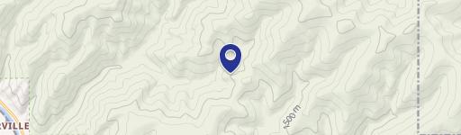
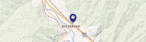
6 recent transactions · within 1.5 miComparable in this City

Similar Nearby for Sale


Property description
Physical attributes from public recordsZoning & alternative use
No recorded transactions found for this property.
Costs & Benchmarks
Operating expenses, capex projections, utility benchmarks, and submarket comparables — all in one view.
Risks
Flood, climate, environmental, title, and tenant-concentration risk — surfaced with mitigations and source citations.


