Current Use by Public Records
- Land
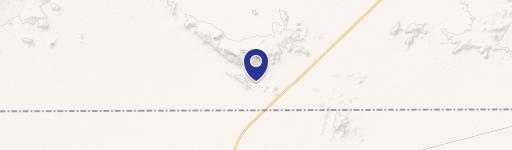
Property Details for 0 Sec Of Salome Hwy & Eagle Eye Rd
- Lot size
- 10.02 lot acres
- Property type
- Land
Description
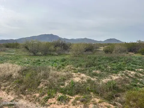
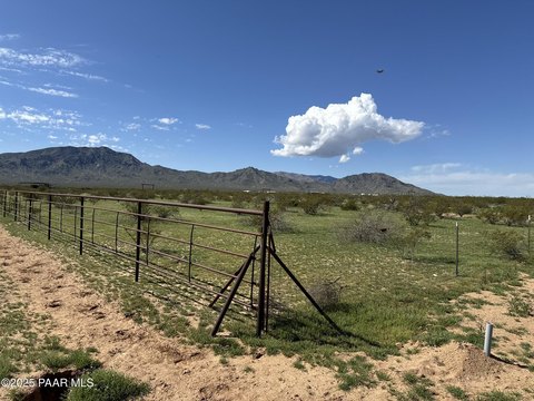
This exceptional 10.02-acre residential land parcel, located in Maricopa County, Arizona, presents a unique investment opportunity. Situated at the intersection of Salome Highway and Eagle Eye Road, in the rapidly developing Aguila area (zip code 85320), this property offers significant potential for future residential development. The lot, identified by APN 506-16-007, is zoned R-190, allowing for residential construction. The land encompasses approximately 436,471 square feet and features a gentle slope characteristic of the desert landscape. The property is conveniently located approximately 1440 feet northeast of Salome Highway and 1400 feet south of the CAP Canal, with Salome Highway intersecting the canal approximately 3300 feet to the west. Currently, there are no water, sewer, or electric services available on-site. The asking price is $100,000, translating to a land value of $9,980 per acre. Seller financing options may be available. This property is ideally positioned to benefit from the anticipated residential growth in the area.
Value Estimations
-
AI approach
-
CAP approach
-
Comparable approach
-
Alternative Use
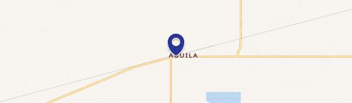
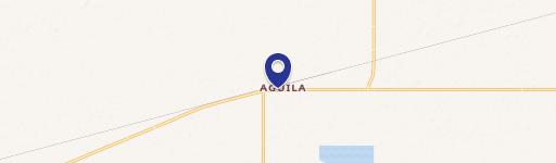
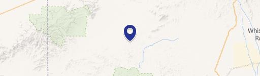
Location Insight
- Map
- Local Demand
- City
- Aguila
- County
- Maricopa
- State
- Arizona
- Longitude
- -113.239
- Latitude
- 33.9402