
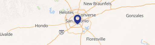
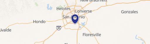
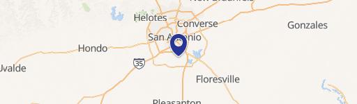
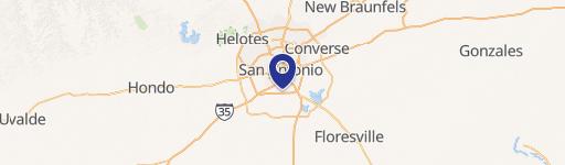
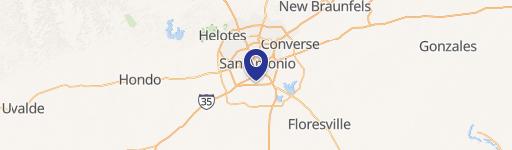
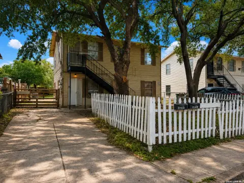
10675 Pleasanton Rd, San Antonio, TX 78221
This exceptional 40.82-acre tract in San Antonio, Texas, presents a unique investment opportunity for developers seeking to capitalize on its strategic location and versatile zoning. Situated at 10675 Pleasanton Rd, Bexar County, zip code 78221, this flat land boasts two convenient ingress/egress points, simplifying access and development. The property is zoned UD C-2, permitting a wide range of commercial and residential uses. Its proximity to established residential areas, including the Vida San Antonio Development, and major institutions like Texas A&M San Antonio, Palo Alto College, and the Toyota Plant, ensures high demand and strong potential for future growth. Furthermore, its location near Brooks City Base, the San Antonio Police Academy, a Tj Maxx Distribution Center, a new HEB, and other commercial developments creates a vibrant and thriving environment. The property offers utilities including SAWS water and CPS Electric. Conveniently located off Loop 410, between IH 35 and IH 37, and only 16.6 miles from San Antonio International Airport, this site is ideally suited for a variety of projects, including single-family homes, apartment complexes, or shopping centers, catering to the needs of students, teachers, manufacturing personnel, and the broader community. This is a rare opportunity to acquire a large, well-located parcel of land with significant development potential in a rapidly growing area.
Cap rate
Implied · in-place · derived from last sale + estimated NOIValue
AI, CAP & Alternative Use estimations · Realmo proprietary blendComparables
6 recent transactions · within 1.5 miComparable in this City

Similar Nearby for Sale


Similar Nearby for Lease


Property description
Physical attributes from public recordsZoning & alternative use
No recorded transactions found for this property.
Costs & Benchmarks
Operating expenses, capex projections, utility benchmarks, and submarket comparables — all in one view.
Risks
Flood, climate, environmental, title, and tenant-concentration risk — surfaced with mitigations and source citations.


