Current Use by Public Records
- Retail properties & Spaces
Property Details for MO Between Summit St
- Property type
- Retail properties & Spaces
- Property subtype
- Office Spaces
Description
Chapel Ridge Business Park offers exceptional commercial land opportunities in Lee's Summit, Missouri. Located in Jackson County, zip code 64064, this prime development boasts convenient access to Interstate 470, a major thoroughfare with over 82,000 vehicles passing daily. The property features platted lots ranging from 38,428 to 277,253 square feet, providing flexibility for various project sizes. Buyers can choose to purchase lots as small as one acre or combine multiple lots to create larger developments exceeding ten acres, catering to diverse needs. The land is zoned CP2 and is ready for immediate development, with all utilities already in place. Permitted uses include retail, office, medical office, and other commercial ventures. The strategic location, coupled with the readily available infrastructure, makes this an ideal investment for businesses seeking high visibility and convenient access to a major transportation artery. The price per square foot for the land ranges from $4 to $14, offering competitive value within the Lee's Summit market. Two full-service interchanges along I-470 (Strother Road and Woods Chapel Road) provide excellent accessibility.
Value Estimations
-
AI approach
-
CAP approach
-
Comparable approach
-
Alternative Use
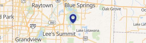
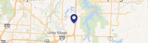
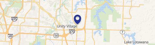
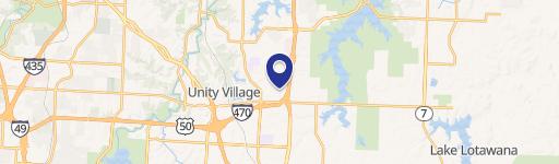
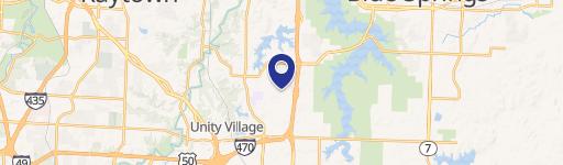
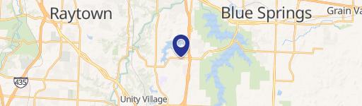
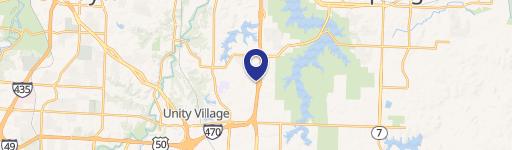
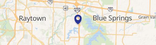
Location Insight
- Map
- Local Demand
- City
- Lee's Summit
- County
- Jackson
- State
- Missouri
- Longitude
- -94.3668
- Latitude
- 38.9792