
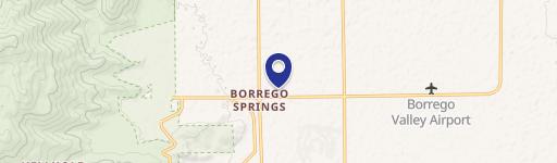
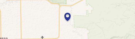
0 Highway 78, Borrego Springs, CA 92004
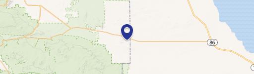
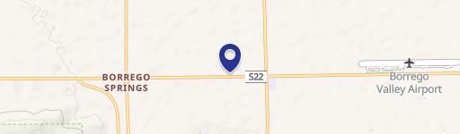
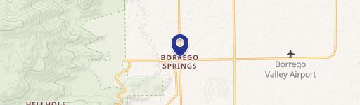
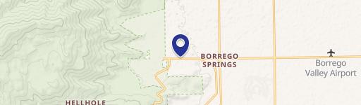
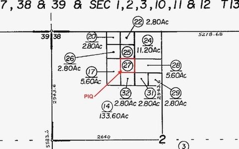
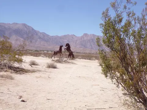
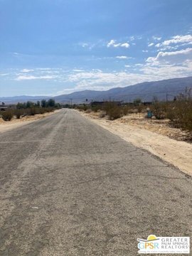
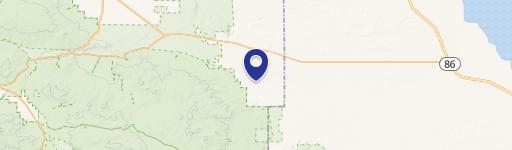
This exceptional 9.6-acre parcel (APN 018-121-003-000), located just off Highway 78 in Imperial County, California (zip code 92004), presents a unique opportunity. Situated near the Ocotillo Wells State Vehicular Recreation Area, this land offers convenient access to over 85,000 acres of off-highway recreational opportunities. The property's location is further enhanced by its proximity to vast tracts of BLM land, also open to off-highway vehicles, and its connection to the Anza-Borrego Desert State Park (600,000 acres). The lot is specifically zoned S2-Open Space Preservation. Precisely located east of Pole Line Road and west of Highway 86, on the north side of Highway 78, between Borrego Springs and the Salton Sea, this property boasts a total area of 9.6 acres, or approximately 418,176 square feet. The property is described as Tract 667 and has coordinates of Latitude 33.12660495 and Longitude -115.94163616. This land offers significant potential for various uses, subject to applicable zoning regulations. The asking price for this remarkable property is $38,000.
Cap rate
Implied · in-place · derived from last sale + estimated NOIValue
AI, CAP & Alternative Use estimations · Realmo proprietary blendComparables
6 recent transactions · within 1.5 miComparable in this City

Similar Nearby for Sale

Property description
Physical attributes from public recordsZoning & alternative use
No recorded transactions found for this property.
Costs & Benchmarks
Operating expenses, capex projections, utility benchmarks, and submarket comparables — all in one view.
Risks
Flood, climate, environmental, title, and tenant-concentration risk — surfaced with mitigations and source citations.


