
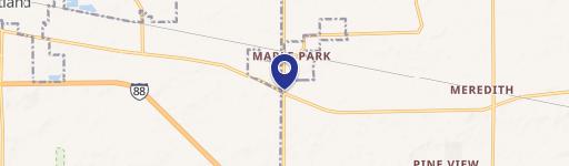
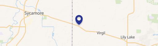
44W361 Il-64, Maple Park, IL 60151
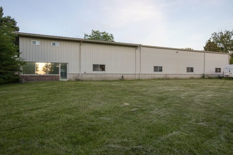
This exceptional 1.21-acre commercial lot is situated at the highly visible, signalized intersection of State Route 64 and State Route 47 in Maple Park, Illinois (zip code 60151), boasting over 9,000 vehicles daily according to IDOT data. The property features convenient wide curb cuts on both state highways, enhancing accessibility. Existing improvements include a 28' x 30' building, a well, a septic system, and a billboard. This prime location benefits from its proximity to a gas station undergoing significant expansion to include diesel fueling and parking for 36 semi-trucks, effectively creating a mini truck stop. Further development in the immediate area is planned, including a 7,000 sq ft retail space with a drive-thru, an indoor and outdoor storage facility, and an 11,000 sq ft office building. This presents a unique opportunity to capitalize on substantial growth and increased property values. The property is zoned B-1. A boundary and topographic survey is already complete, streamlining the development process. The current owner is open to considering a lease of the existing building or a build-to-suit lease option, offering flexibility for potential buyers or tenants. The asking price for this exceptional property is $439,900. This is a corporate-owned property.
Cap rate
Implied · in-place · derived from last sale + estimated NOIValue
AI, CAP & Alternative Use estimations · Realmo proprietary blendComparables
6 recent transactions · within 1.5 miComparable in this City

Similar Nearby for Sale


Property description
Physical attributes from public recordsZoning & alternative use
No recorded transactions found for this property.
Costs & Benchmarks
Operating expenses, capex projections, utility benchmarks, and submarket comparables — all in one view.
Risks
Flood, climate, environmental, title, and tenant-concentration risk — surfaced with mitigations and source citations.


