
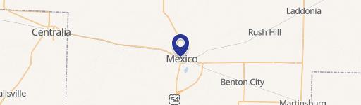
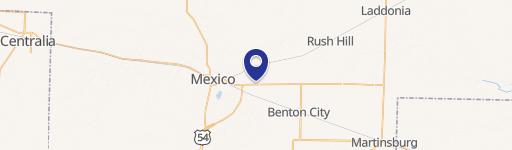
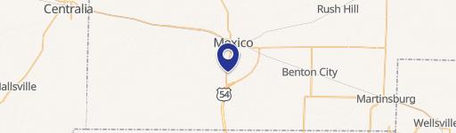
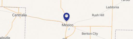
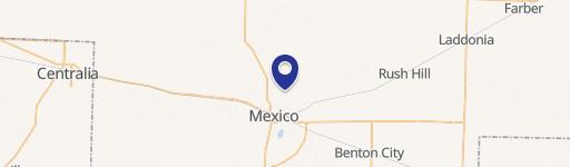
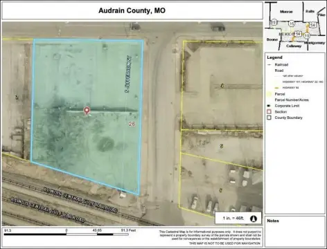
000 County Rd, Mexico, MO 65265
This exceptional 50-acre (+/-) property presents a compelling investment opportunity for both farmers and astute investors. Strategically located south of Mexico, Missouri, in Audrain County (zip code 65265), this land boasts a desirable combination of features. The gently sloping terrain, with a grade ranging from 1% to 4%, is predominantly composed of Mexico soils, known for their agricultural productivity. A significant portion of the acreage, approximately 47 acres, is tillable, ideal for cultivating a variety of crops. Adding to its appeal, the property enjoys convenient road frontage on two sides, ensuring easy access and efficient transportation. The property's address is 000 County Road 836. Its geographical coordinates are latitude 39.097361 and longitude -91.805752. The asking price for this remarkable property is $595,000. This represents a rare chance to acquire high-quality farmland in a sought-after location within Audrain County. Don't miss this chance to own a piece of productive Missouri land.
Cap rate
Implied · in-place · derived from last sale + estimated NOIValue
AI, CAP & Alternative Use estimations · Realmo proprietary blendComparables
6 recent transactions · within 1.5 miComparable in this City

Similar Nearby for Sale


Similar Nearby for Lease


Property description
Physical attributes from public recordsZoning & alternative use
No recorded transactions found for this property.
Costs & Benchmarks
Operating expenses, capex projections, utility benchmarks, and submarket comparables — all in one view.
Risks
Flood, climate, environmental, title, and tenant-concentration risk — surfaced with mitigations and source citations.


