1102 Rolling Lane Sq Horseshoe Bend, AR 72512
Property profile & analytics
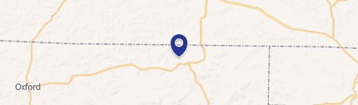
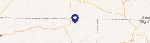
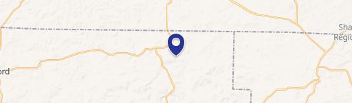
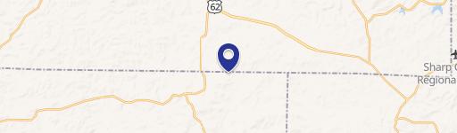
Location Intelligence
Current Use by Public Records
- Land
Property Details for 1102 Rolling Lane Sq
- Lot size
- 0.20 lot acres
- Property type
- Land
Description
This 0.2-acre tract in Izard County, Arkansas, presents a unique opportunity for hunting and recreational pursuits. Located on Rolling Lane Square in Horseshoe Bend (zip code 72512), this property offers convenient paved road frontage and access to utilities. The land is situated just six miles from Crown Lake, providing ample opportunities for fishing and other water-based activities. While ideal for a home site, the property's proximity to Crown Lake makes it perfect for those seeking a recreational retreat. The seller will retain mineral rights. Access is via paved roads: From the intersection of Highway 9 and Highway 354, travel east on Highway 354 for approximately 10 miles. Turn north onto Ridge Road, continue for 700 feet, then turn east onto Rolling Lane. After 0.25 miles, you'll reach Rolling Lane Square. Head north on Rolling Lane Square for 800 feet
Value Estimations
based on Realmo’s proprietary methodology
-
AI approach
-
CAP approach
-
Comparable approach
-
Alternative Use
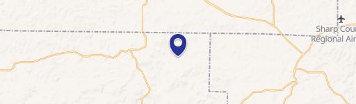
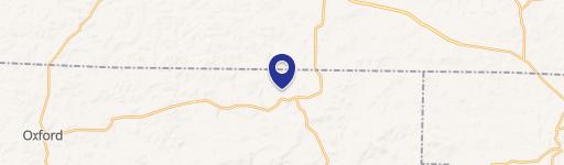
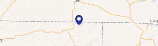
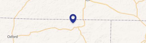
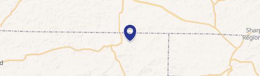
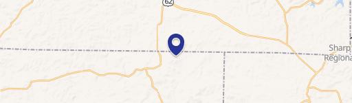
Location Insight
- Map
- Local Demand
- City
- Horseshoe Bend
- County
- Izard
- State
- Arkansas
- Longitude
- -91.7646
- Latitude
- 36.2419