2920 Bethany St Kansas City, KS 66104
- Commercial real estate
Current Use by Public Records
- Commercial real estate
Property Details for 2920 Bethany St
- Property type
- Commercial real estate
Description
This exceptional 6,970 square foot residential land parcel presents a unique development opportunity in Kansas City, Kansas's Parkwood community. Located at 2920 N Bethany Street, zip code 66104, this property offers convenient access to a variety of amenities, including nearby gas stations and restaurants. Families will appreciate the proximity to Bertram Caruthers Elementary School and Carl B Bruce Middle School, ensuring a convenient commute for students. Recreational opportunities abound with easy access to both Parkwood Park and Heathwood Park, providing residents with ample green space for leisure activities. The property's 0.194-acre size provides significant potential for residential construction, making it an attractive investment for developers seeking a prime location within a well-established community. The asking price for this exceptional land parcel is $9,000. This is a rare opportunity to acquire a buildable lot in a desirable Kansas City neighborhood. Don't miss out on this chance to secure a piece of Kansas City real estate with excellent potential. The property is situated in Wyandotte County, Kansas.
Value Estimations
-
AI approach
-
CAP approach
-
Comparable approach
-
Alternative Use
Get a detailed, property-specific valuation — fast and free
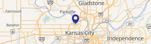
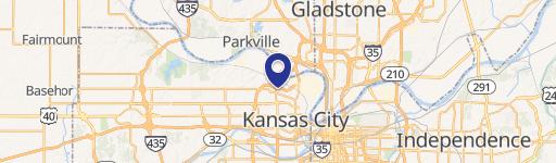
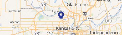
Location Insight
- Map
- Local Demand
- City
- Kansas City
- County
- Wyandotte
- State
- Kansas
- Longitude
- -94.640002
- Latitude
- 39.138546