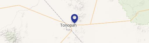
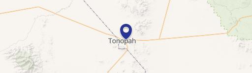
560 Air Force Rd Tonopah, NV 89049
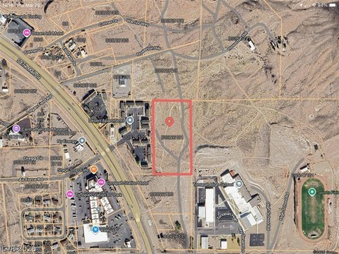
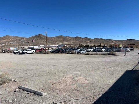
This exceptional 10-acre parcel of land, located at 560 W Air Force Rd in Tonopah, Nevada, presents a unique opportunity for residential development. Priced at $99,000, this gently sloping property boasts stunning views of the town of Tonopah. The lot's size offers ample space for a variety of projects, making it ideal for those seeking a spacious residential setting. Conveniently located, the property already has access to essential utilities, including electricity, water, and sewer connections. The absence of permitted zoning allows for flexibility in planning and development, subject to local regulations. The property's address is 560 W Air Force Rd, Tonopah, NV 89049, with the Assessor's Parcel Number (APN) being 008-291-03. Its geographical coordinates are latitude 38.0596294 and longitude -117.2284216. The expansive acreage makes this land particularly suitable for an RV park or mobile home park development, though other residential uses are also possible. This is a prime opportunity to acquire a substantial piece of land in a desirable location. Interested parties should conduct their own due diligence regarding zoning and development regulations.
Cap rate
Implied · in-place · derived from last sale + estimated NOIValue
AI, CAP & Alternative Use estimations · Realmo proprietary blendComparables
6 recent transactions · within 1.5 miComparable in this City


Similar Nearby for Sale


Property description
Physical attributes from public recordsZoning & alternative use
No recorded transactions found for this property.
Costs & Benchmarks
Operating expenses, capex projections, utility benchmarks, and submarket comparables — all in one view.
Risks
Flood, climate, environmental, title, and tenant-concentration risk — surfaced with mitigations and source citations.


