
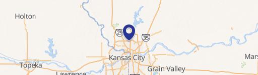
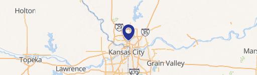
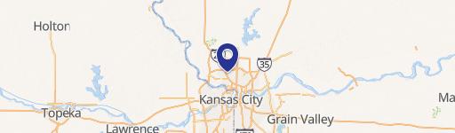
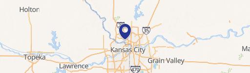
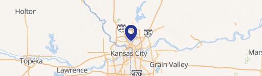
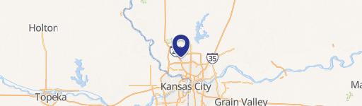
0 Robinhood Ln, Kansas City, MO 64151
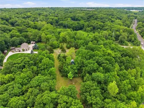
This exceptional 80± acre agricultural property presents a unique investment opportunity in the Kansas City, Missouri area. Located in Platte County within the Platte County R-III School District, this land is zoned AG-R and offers significant potential. The property boasts two parcel numbers: 18-4.0-17-000-000-001.001 and 18-4.0-17-000-000-001.000. Its strategic location is just west of the burgeoning Golden Plains Technology Park development, a 767-acre site featuring a 5.5 million square foot data center, creating numerous construction and full-time jobs. The property is easily subdividable into four 20± acre parcels, providing flexibility for various development scenarios. Infrastructure is readily available, including a new 20-foot water easement, sewer access in close proximity, and high-speed fiber optic internet installed on nearby N. Robinhood Lane. Annual real estate taxes for 2022 were $450.63. This prime agricultural land offers a compelling combination of location, size, and infrastructure, making it an ideal investment for both agricultural and potential future development opportunities. Don't miss this chance to acquire a significant land holding in a rapidly growing area.
Cap rate
Implied · in-place · derived from last sale + estimated NOIValue
AI, CAP & Alternative Use estimations · Realmo proprietary blendComparables
6 recent transactions · within 1.5 miComparable in this City

Similar Nearby for Sale


Similar Nearby for Lease


Property description
Physical attributes from public recordsZoning & alternative use
No recorded transactions found for this property.
Costs & Benchmarks
Operating expenses, capex projections, utility benchmarks, and submarket comparables — all in one view.
Risks
Flood, climate, environmental, title, and tenant-concentration risk — surfaced with mitigations and source citations.


