Walnut St Glouster, OH 45782
Current Use by Public Records
- Land
Property Details for 0 Walnut St
- Property type
- Land
Description
This exceptional 10-acre parcel, encompassing 435,600 square feet, is situated in Trimble, Ohio, at the base of the Wayne National Forest and adjacent to Sunday Creek. The property's location within city limits offers significant development potential for a variety of uses. The asking price is $60,000. Buyers should note that the property is located in a flood plain, requiring flood insurance. The land presents a unique opportunity for investors and developers seeking a substantial tract in a desirable location. The property is conveniently located in Athens County, Ohio, with the zip code 45782. Its geographical coordinates are 39.4836278 latitude and -82.0758358 longitude. Please be aware that any #6 coal located on the property is not included in the sale. This expansive land offers a blank canvas for creative development, taking advantage of its proximity to natural beauty and urban amenities. Serious inquiries are encouraged to explore the possibilities this remarkable property offers. The property is legally described as 0 Walnut Street.
Value Estimations
based on Realmo’s proprietary methodology
-
AI approach
-
CAP approach
-
Comparable approach
-
Alternative Use
Location Insight
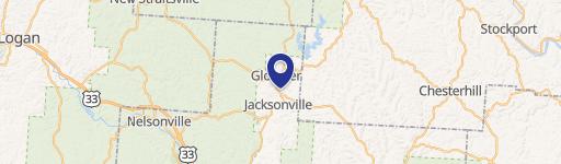
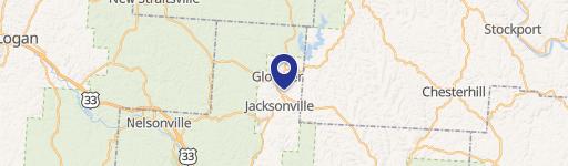
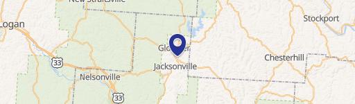
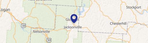
- Map
- Local Demand
- City
- Glouster
- County
- Athens
- State
- Ohio
- Longitude
- -82.0758
- Latitude
- 39.4836