Current Use by Public Records
- Land
Property Details for 219 10Th Ave
- Lot size
- 0.63 lot acres
- Property type
- Land
Description
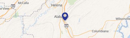
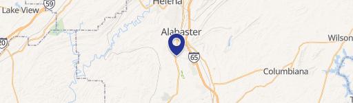
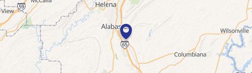
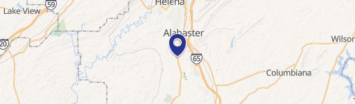
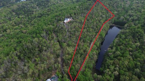
This 0.627-acre commercial lot, located at 219 SE 10th Ave #31 in Alabaster, Alabama (zip code 35007), presents a unique investment opportunity. Situated in a high-traffic area of Shelby County, this property boasts a B-3 zoning designation, opening doors to a variety of commercial uses. Its prime location offers exceptional visibility and accessibility, being less than a quarter-mile from the I-65 South on-ramp, ensuring significant exposure to a large volume of daily commuters and local traffic. The land's size provides ample space for development, making it suitable for various commercial ventures. The address is precisely 219 10th Ave SE, Alabaster, AL 35007, with GPS coordinates of 33.2318054 latitude and -86.8138618 longitude. This property is ideal for entrepreneurs seeking a strategic location with high visibility and convenient access to major transportation routes. The B-3 zoning allows for a wide range of commercial possibilities, making this a versatile and attractive investment opportunity in a thriving Alabama community. Further investigation into permitted uses under the B-3 zoning is recommended.
Value Estimations
-
AI approach
-
CAP approach
-
Comparable approach
-
Alternative Use
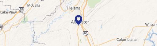
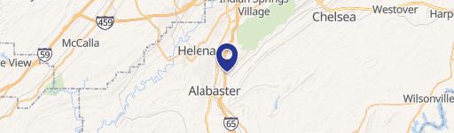
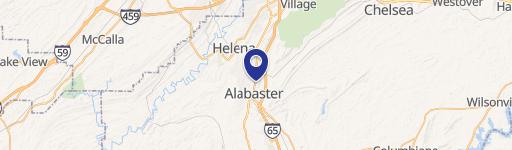
Location Insight
- Map
- Local Demand
- City
- Alabaster
- County
- Shelby
- State
- Alabama
- Longitude
- -86.8139
- Latitude
- 33.2318