
56 Tbd State Hwy, Le Roy, MN 55951
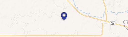
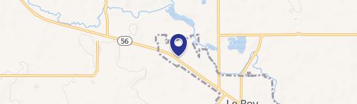
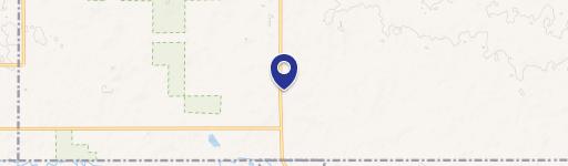
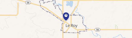
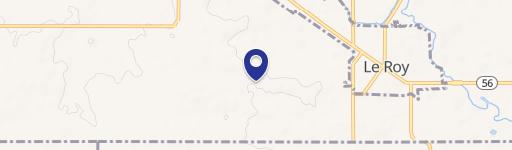
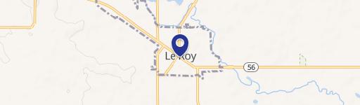
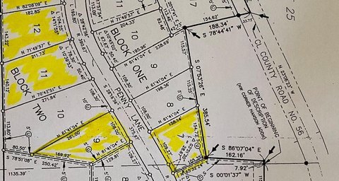
This exceptional 153.11-acre property in Mower County, Minnesota, presents a unique investment opportunity. Located near Le Roy, MN, and easily accessible from State Highway 56, this land offers a blend of agricultural potential and recreational appeal. The property includes 101.94 acres of highly productive tillable farmland, boasting a Crop Productivity Index (CPI) of 68.3. Currently used for rotating corn and bean crops, this fertile land ensures sustainable farming practices. Adding to its allure, the picturesque Upper Iowa River flows through the property, providing opportunities for fishing and boating. For outdoor enthusiasts, a bike trail conveniently runs along the northern and eastern borders. The property's APN is 090190040, and it's zoned for Agriculture and Lot use. Natural gas is available. This versatile land is ideal for farming, recreation, potential home building, hunting, or simply a sound investment. The asking price is $1,122,340. Don't miss this chance to own a remarkable piece of Minnesota real estate. The property's location offers both privacy and convenient access to nearby amenities.
Cap rate
Implied · in-place · derived from last sale + estimated NOIValue
AI, CAP & Alternative Use estimations · Realmo proprietary blendComparables
6 recent transactions · within 1.5 miComparable in this City
Similar Nearby for Sale

Property description
Physical attributes from public recordsZoning & alternative use
No recorded transactions found for this property.
Costs & Benchmarks
Operating expenses, capex projections, utility benchmarks, and submarket comparables — all in one view.
Risks
Flood, climate, environmental, title, and tenant-concentration risk — surfaced with mitigations and source citations.


