Property profile & analytics
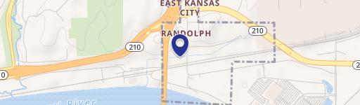
Hwy 210 & Kimball Dr Kansas City, MO 64161
- Land
- 12.00 lot acres
OFF-MARKET
Value Estimations
Cap Rate Potential
Location Intelligence
Current Use by Public Records
- Land
Property Details for 0 Hwy 210 & Kimball Dr
- Lot size
- 12.00 lot acres
- Property type
- Land
Description
This exceptional commercial land offering presents a unique investment opportunity in Kansas City, Missouri. Located at the intersection of Highway 210 and Kimball Drive in Clay County (zip code 64161), this property boasts a strategic location with immediate access to major transportation arteries. The site is zoned M1-5 (General Industrial), allowing for a wide range of industrial uses. Two lots are available, offering significant flexibility for development. Lot 1 provides up to 189,000 square feet, while Lot 2 offers up to 105,000 square feet. The total acreage spans between 12 and 29 acres. This is new ownership, presenting a clean slate for development. Build-to-suit opportunities are available, allowing for customized construction to meet specific business needs. The property's proximity to key transportation hubs, including Norfolk Southern Intermodal, Triple Crown Services Intermodal, and the Ford Claycomo Plant, provides unparalleled logistical advantages. Furthermore, the site's potential for outside storage adds to its versatility. The location within a Missouri Enhanced Enterprise Zone offers the added benefit of potential tax incentives, making this an even more attractive investment. This is a rare opportunity to acquire prime industrial land in a thriving Kansas City location.
Value Estimations
based on Realmo’s proprietary methodology
-
AI approach
-
CAP approach
-
Comparable approach
-
Alternative Use
Location Insight
- Map
- Local Demand
- City
- Kansas City
- County
- Clay
- State
- Missouri
- Longitude
- -94.438
- Latitude
- 39.1556