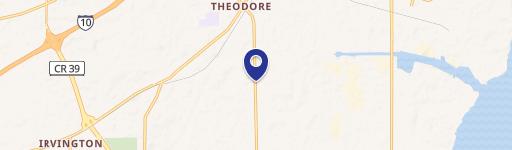
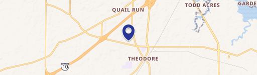
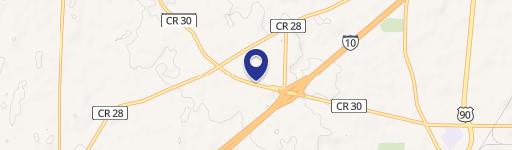
7150 Theodore Dawes Rd Theodore, AL 36582
This exceptional 6.3-acre parcel of land presents a remarkable opportunity for industrial development. Located at 7150 Theodore Dawes Rd in Theodore, Alabama (zip code 36582), this property boasts a highly desirable location, less than a quarter-mile from Interstate 10, ensuring excellent accessibility and convenient transportation links. The land is completely cleared and level, simplifying site preparation and construction. The property's APN is 3309314000003XXX. Mobile County's absence of zoning regulations offers significant flexibility for a wide range of industrial uses. Its prominent position on a main thoroughfare provides exceptional visibility, making it ideal for businesses seeking high brand awareness. The asking price for this strategically located industrial land is $1,750,000, translating to $277,777 per acre. This represents a compelling investment opportunity given its size, location, and development potential. The property's convenient access and high visibility make it an attractive option for various industrial ventures. Serious inquiries are encouraged to explore the possibilities of this exceptional industrial land offering.
Cap rate
Implied · in-place · derived from last sale + estimated NOIValue
AI, CAP & Alternative Use estimations · Realmo proprietary blendComparables
6 recent transactions · within 1.5 miComparable in this City
Similar Nearby for Sale


Similar Nearby for Lease


Property description
Physical attributes from public recordsZoning & alternative use
No recorded transactions found for this property.
Costs & Benchmarks
Operating expenses, capex projections, utility benchmarks, and submarket comparables — all in one view.
Risks
Flood, climate, environmental, title, and tenant-concentration risk — surfaced with mitigations and source citations.


