
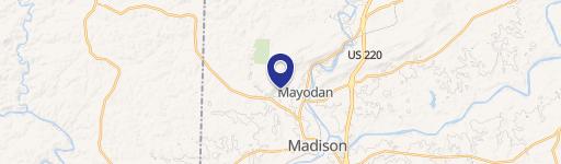
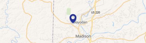
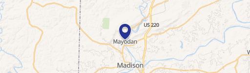
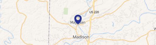
465/01 Turner Rd, Mayodan, NC 27027
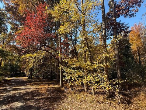
This exceptional 86.1-acre property, located at 465/01 Turner Road in Mayodan, North Carolina (zip code 27027), presents a significant opportunity for industrial development. Situated in Rockingham County, this parcel boasts a convenient location at the corner of Turner Road and NC-704, offering excellent accessibility. The land itself is a mix of level and rolling terrain, characterized by wooded areas. Public water and sewer services are readily available, simplifying infrastructure development. Importantly, the property is free from deed restrictions, aside from standard utility easements. While an abandoned house is present on the site, this presents a potential opportunity for redevelopment or removal. The property is not located within a designated flood zone, mitigating potential risk. The permitted zoning is M1/R20, allowing for a range of industrial and potentially residential uses, subject to local regulations. This expansive tract offers significant potential for businesses seeking a strategic location in a growing area. The asking price for this remarkable property is $1,289,000.
Cap rate
Implied · in-place · derived from last sale + estimated NOIValue
AI, CAP & Alternative Use estimations · Realmo proprietary blendComparables
6 recent transactions · within 1.5 miComparable in this City
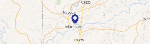

Similar Nearby for Sale


Property description
Physical attributes from public recordsZoning & alternative use
No recorded transactions found for this property.
Costs & Benchmarks
Operating expenses, capex projections, utility benchmarks, and submarket comparables — all in one view.
Risks
Flood, climate, environmental, title, and tenant-concentration risk — surfaced with mitigations and source citations.


