
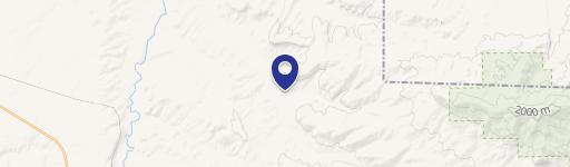
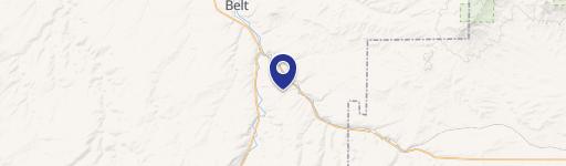
0 Highwood Rd, Belt, MT 59412
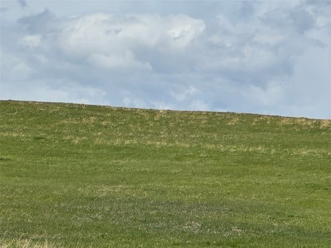
This exceptional 278-acre Montana agricultural property presents a unique investment opportunity. Located near Belt, MT (zip code 59412), in Cascade County, this expansive land boasts stunning panoramic views and an abundant water supply. A 900-foot well, a stock pond, and developed springs with underground piping to several tanks ensure consistent water access. Power lines traverse the property, adding to its utility. Approximately 37 acres are currently dedicated to hay production, supporting the existing summer grazing capacity of 70 cow-calf pairs. The property features the iconic Belt Butte, adding to its visual appeal and potential for diverse uses. Beyond agricultural pursuits, the land offers numerous potential building sites, ideal for a private residence or recreational retreat. Explore miles of trails on horseback or ATV, and enjoy the abundant wildlife, including the plentiful mule deer population. This property is a rare combination of agricultural productivity, natural beauty, and development potential. The address is TBD E Highwood Road.
Cap rate
Implied · in-place · derived from last sale + estimated NOIValue
AI, CAP & Alternative Use estimations · Realmo proprietary blendComparables
6 recent transactions · within 1.5 miComparable in this City


Similar Nearby for Sale
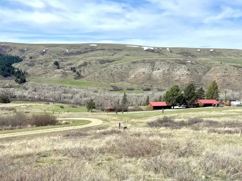


Property description
Physical attributes from public recordsZoning & alternative use
No recorded transactions found for this property.
Costs & Benchmarks
Operating expenses, capex projections, utility benchmarks, and submarket comparables — all in one view.
Risks
Flood, climate, environmental, title, and tenant-concentration risk — surfaced with mitigations and source citations.


