I-40 Hwy Broken Arrow, OK 74426
Property profile & analytics
Location Intelligence
Current Use by Public Records
- Land
Property Details for I-40 Hwy
- Lot size
- 10.00 lot acres
- Property type
- Land
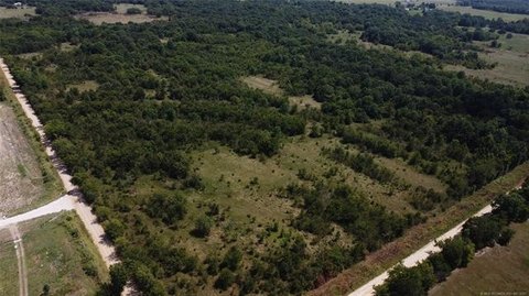
Description
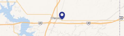
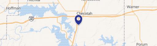
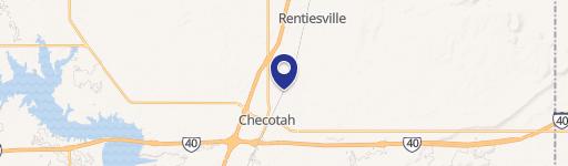
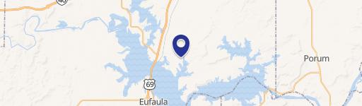
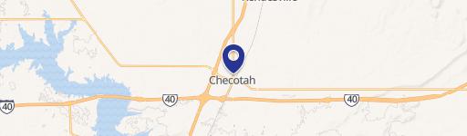
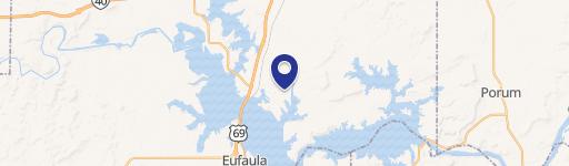
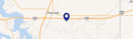
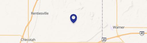
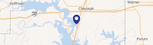
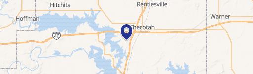
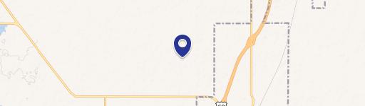
This exceptional 10-acre property, strategically located at the intersection of I-40 and Hwy 150 in Checotah, Oklahoma (zip code 74426), presents a compelling investment opportunity. The land comprises three separate parcels; one is zoned for commercial use, while the two remaining parcels are zoned residential, offering significant flexibility for development. This prime location provides unparalleled access to major transportation arteries, ensuring high visibility and convenient access for businesses and residents alike. The property's size allows for a variety of development possibilities, from retail and commercial ventures to residential projects. With its strategic location and diverse zoning, this property is poised for substantial growth and return on investment. The asking price for this exceptional 10-acre tract is $742,000. Detailed zoning information and survey data are readily available upon request. This is a rare opportunity to acquire a significant land holding in a rapidly developing area of Oklahoma. Don't miss out on this chance to secure a valuable asset with immense potential. The property is situated in McIntosh County (county code 40091) and is conveniently located near Broken Arrow. The coordinates for the property are latitude 35.457853 and longitude -95.5944145.
Value Estimations
based on Realmo’s proprietary methodology
-
AI approach
-
CAP approach
-
Comparable approach
-
Alternative Use
Location Insight
- Map
- Local Demand
- City
- Broken Arrow
- County
- 40091
- State
- Oklahoma
- Longitude
- -95.5944
- Latitude
- 35.4579