
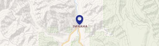
0 Upper Imnaha Rd, Imnaha, OR 97842
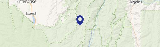
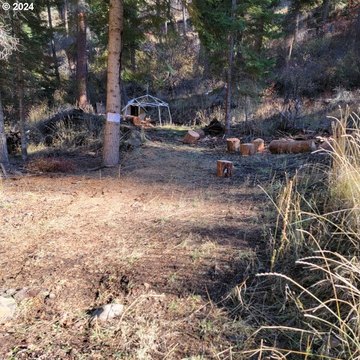
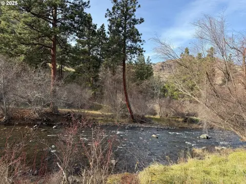
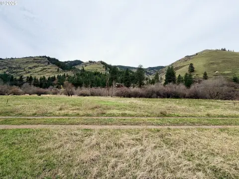
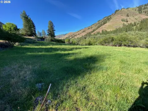
This exceptional 98,576-acre property, located on Upper Imnaha River Road in Imnaha, Oregon (zip code 97842), presents a unique investment opportunity. Currently zoned EL1, this expansive land parcel is comprised of two lots combined into a single tax lot. Situated approximately 24 miles upriver from the town of Imnaha, the property offers unparalleled access to the natural beauty of the surrounding Wallowa County. The Imnaha River Woods is bordered by National Forest land, providing a tranquil and secluded setting. Access is readily available year-round via Chief Joseph Way or Appaloosa Way. The property's size and zoning suggest potential for development, making it suitable for a variety of uses, including a private retreat, camping area, or even a secluded cabin. The asking price for this remarkable property is $45,000. The property's listing and status dates are November 30, 2023. The area is approximately 470 square units (the exact unit of measurement is not specified in the provided information). This is a rare chance to own a significant piece of Oregon's natural landscape.
Cap rate
Implied · in-place · derived from last sale + estimated NOIValue
AI, CAP & Alternative Use estimations · Realmo proprietary blendComparables
6 recent transactions · within 1.5 miComparable in this City


Similar Nearby for Sale

Property description
Physical attributes from public recordsZoning & alternative use
No recorded transactions found for this property.
Costs & Benchmarks
Operating expenses, capex projections, utility benchmarks, and submarket comparables — all in one view.
Risks
Flood, climate, environmental, title, and tenant-concentration risk — surfaced with mitigations and source citations.


