
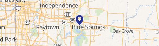
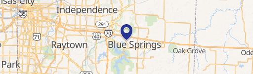
0 Woods Chapel Rd, Blue Springs, MO 64015
This exceptional 34-acre commercial and residential land parcel presents a unique investment opportunity in Blue Springs, Missouri. Strategically located at the prominent corner of I-70 and Woods Chapel Road, this high-traffic site boasts unparalleled visibility and accessibility via a full diamond I-70 interchange. All utilities are conveniently located on-site, simplifying development plans. The property's zoning allows for a diverse range of uses, making it ideal for various projects. Its prime location within a densely populated residential area makes it particularly well-suited for multi-family residential development, such as apartments. However, the versatility of this site also extends to retail, office, or medical facilities. The asking price is $3,332,340. This property offers significant potential for developers seeking a high-impact location with excellent infrastructure and strong market demand. The seller is open to considering offers for sale, lease, or build-to-suit arrangements. The property is situated in Jackson County, Missouri, with a zip code of 64015. This is a rare opportunity to acquire a large, strategically located parcel in a thriving area. Don't miss out on this chance to capitalize on the potential of this exceptional property.
Cap rate
Implied · in-place · derived from last sale + estimated NOIValue
AI, CAP & Alternative Use estimations · Realmo proprietary blendComparables
6 recent transactions · within 1.5 miComparable in this City


Similar Nearby for Sale


Similar Nearby for Lease


Property description
Physical attributes from public recordsZoning & alternative use
No recorded transactions found for this property.
Costs & Benchmarks
Operating expenses, capex projections, utility benchmarks, and submarket comparables — all in one view.
Risks
Flood, climate, environmental, title, and tenant-concentration risk — surfaced with mitigations and source citations.


