
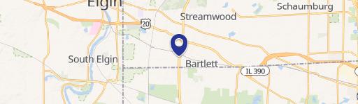
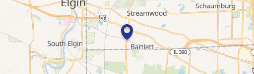
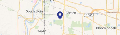
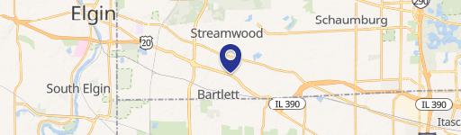
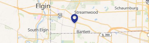
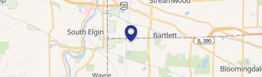
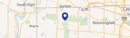
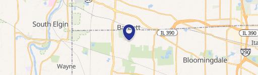
0 Bartlett & Munger Rds, Bartlett, IL 60103
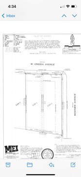
This exceptional 2.83-acre commercial land parcel is situated at the southeast corner of West Bartlett and Munger Roads in Bartlett, Illinois (Cook County, zip code 60103). The property, APN 06-33-301-029-0000, offers a unique opportunity for development, boasting a land value of $5.23 per square foot. Its strategic location is adjacent to Liberty Elementary School, ensuring high visibility and potential for various commercial uses. All essential utilities—sanitary sewer, water, gas, and electric—are readily available adjacent to the site. The Village of Bartlett acknowledges the need for rezoning, streamlining the development process. Importantly, no recapture is required on existing infrastructure, and an existing access road is already in place. Furthermore, off-site detention has been accounted for, maximizing the usable land area. This property presents a compelling investment opportunity due to its prime location, convenient access to utilities, and the village's supportive stance on rezoning. The asking price is $645,000.
Cap rate
Implied · in-place · derived from last sale + estimated NOIValue
AI, CAP & Alternative Use estimations · Realmo proprietary blendComparables
6 recent transactions · within 1.5 miComparable in this City
Similar Nearby for Sale


Similar Nearby for Lease


Property description
Physical attributes from public recordsZoning & alternative use
No recorded transactions found for this property.
Costs & Benchmarks
Operating expenses, capex projections, utility benchmarks, and submarket comparables — all in one view.
Risks
Flood, climate, environmental, title, and tenant-concentration risk — surfaced with mitigations and source citations.


