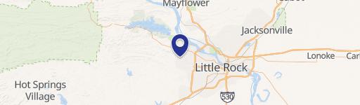
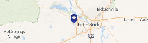
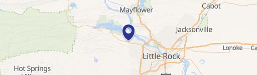
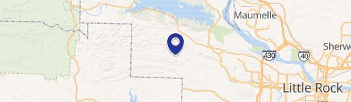
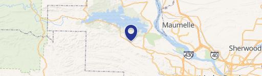
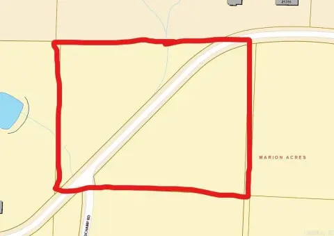
Garrison Rd & Hwy 10 Little Rock, AR 72223
Property profile & analytics
Location Intelligence
Current Use by Public Records
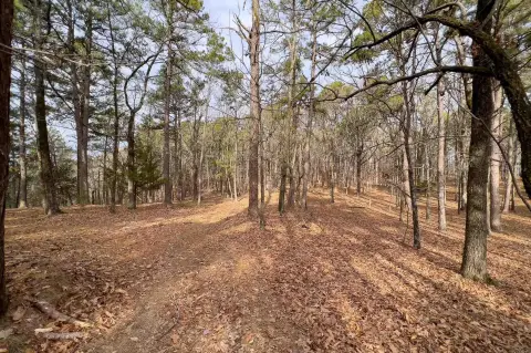
- Land
Property Details for 0 Garrison Rd & Hwy 10
- Lot size
- 3.50 lot acres
- Property type
- Land
Description
This exceptional 3.5-acre commercial land parcel presents a prime investment opportunity in Little Rock, Arkansas. Strategically located at the southeast corner of Garrison Road and Highway 10, this property boasts approximately 353 feet of Highway 10 frontage, ensuring high visibility and accessibility. Zoned R-2, the land offers considerable development potential for a variety of commercial uses. The asking price is $609,840, translating to a land value of $4 per square foot. Its convenient location offers easy access to key areas: it's situated just 1.5 miles from Joe T. Robinson Schools, 2.5 miles from Chenal Parkway, and less than 20 miles from downtown Little Rock. This makes it ideal for businesses seeking proximity to residential areas, major thoroughfares, and the city center. The property's size and location combine to create a compelling opportunity for investors and developers seeking a strong foothold in a growing market. The Pulaski County address, 72223 zip code, and precise coordinates (34.8266973 latitude, -92.5318588 longitude) provide further location specificity. This is a rare chance to acquire a substantial commercial lot with excellent visibility and convenient access to key Little Rock amenities.
Value Estimations
based on Realmo’s proprietary methodology
-
AI approach
-
CAP approach
-
Comparable approach
-
Alternative Use
Location Insight
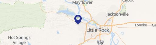
- Map
- Local Demand
- City
- Little Rock
- County
- Pulaski
- State
- Arkansas
- Longitude
- -92.5319
- Latitude
- 34.8267