Current Use by Public Records
- Land
Property Details for 33 Of Hwy
- Lot size
- 310.10 lot acres
- Property type
- Land
- Property subtype
- Farms
Description
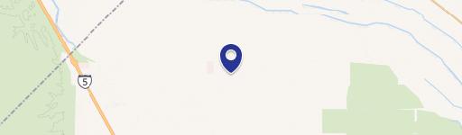
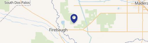
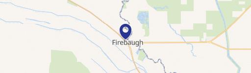
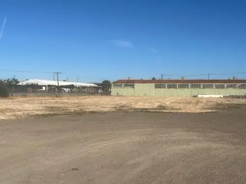
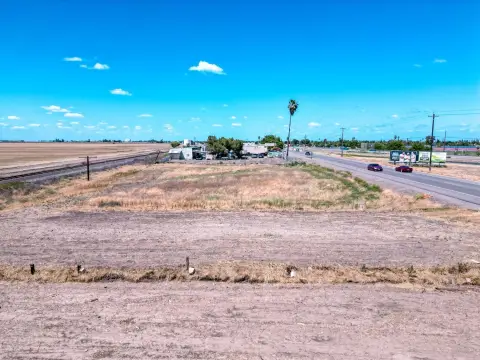
This exceptional 310.1-acre agricultural property, located south of Highway 33 in Firebaugh, California (zip code 93622), presents a unique investment opportunity. Situated within the highly desirable Central California Irrigation District (CCID), this land boasts reliable water access via proximity to both the outside and main canals. Historically used for row crop farming, the property is zoned AE-20 (Ag Exclusive - minimum 20-acre parcel size) and is enrolled in the Williamson Act, offering potential tax benefits. The parcel's APN is 006-080-16. Its location in Camp 13 ensures convenient access to vital irrigation resources. The asking price for this expansive and productive farmland is $5,581,800. Given its prime location, reliable water supply, and historical use in row crop agriculture, this property represents a compelling investment for experienced agricultural operators or those seeking a stable, land-based asset in a thriving agricultural region of California. The property's latitude and longitude coordinates are 36.8999 and -120.5527 respectively. This is a rare opportunity to acquire a significant acreage within the prestigious CCID.
Value Estimations
-
AI approach
-
CAP approach
-
Comparable approach
-
Alternative Use
Location Insight
- Map
- Local Demand
- City
- Firebaugh
- County
- Fresno
- State
- California
- Longitude
- -120.553
- Latitude
- 36.8999