Current Use by Public Records
- Land
Property Details for near Calle De La Plata Pyramid Hwy
- Lot size
- 4.68 lot acres
- Property type
- Land
Description
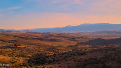
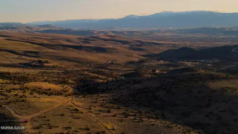
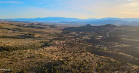
This exceptional 4.679-acre commercial land parcel in Sparks, Nevada, presents a unique investment opportunity. Located near the intersection of Pyramid Highway and Calle De La Plata, this property boasts excellent visibility and accessibility. Currently zoned Neighborhood Commercial, it offers significant potential for a variety of uses, including retail, commercial services, quick-service restaurants (QSR), and drive-thrus. A tentative parcel map proposes subdividing the land into three separate parcels, each ranging from approximately 1.34 to 1.45 acres, providing flexibility for individual development or sale. Parcel A, B, and C are all designated as Neighborhood Commercial. The property's strategic location is further enhanced by its proximity to numerous residential developments, both planned and underway, ensuring a strong and growing customer base. The asking price for this prime commercial land is $4,000,000. This represents a compelling investment opportunity in a rapidly developing area of Sparks, Nevada, with high visibility from Pyramid Highway and significant potential for future growth and return. The property is situated in Washoe County, Nevada, with a zip code of 89441.
Value Estimations
-
AI approach
-
CAP approach
-
Comparable approach
-
Alternative Use
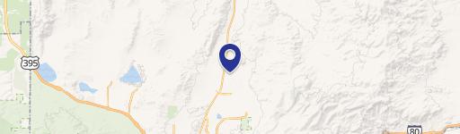
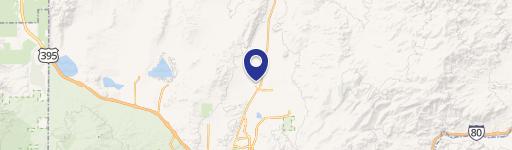
Location Insight
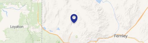
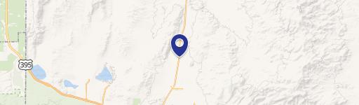
- Map
- Local Demand
- City
- Sparks
- County
- Washoe
- State
- Nevada
- Longitude
- -119.673
- Latitude
- 39.6692