
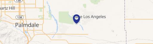
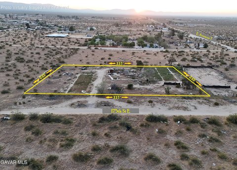
0 220Th St, Palmdale, CA 93591
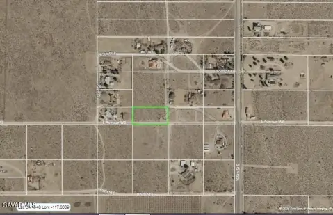
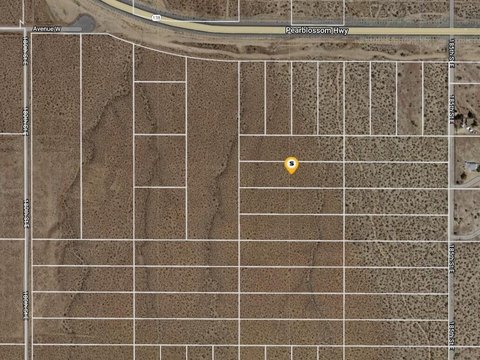
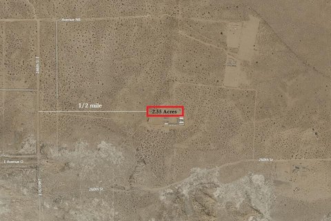
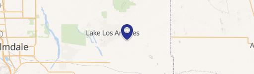
This exceptional 2.5-acre parcel presents a compelling investment opportunity in the desirable Hi Vista area of Palmdale, California. Located at the intersection of Avenue N and future 220th Street East, this property boasts breathtaking wrap-around views of the High Desert landscape. The land is currently undeveloped, offering significant potential for future development or as a long-term investment. While the closest paved public road, Avenue O, is approximately one mile south, dirt trails and potential future streets are in close proximity, suggesting future infrastructure improvements. The property's location within the Hi Vista area indicates a developing community with scattered existing dwellings. The asking price for this expansive lot is $8,500. This represents a unique chance to acquire a substantial piece of land in a growing area with remarkable views, ideal for those seeking a buy-and-hold strategy or future development prospects. The property's zip code is 93591, and its precise location is in unincorporated Los Angeles County. The geographical coordinates are 34.6193135 latitude and -117.7382935 longitude. This is a rare opportunity to secure a significant land holding in the High Desert.
Cap rate
Implied · in-place · derived from last sale + estimated NOIValue
AI, CAP & Alternative Use estimations · Realmo proprietary blendComparables
6 recent transactions · within 1.5 miComparable in this City


Similar Nearby for Sale

Property description
Physical attributes from public recordsZoning & alternative use
No recorded transactions found for this property.
Costs & Benchmarks
Operating expenses, capex projections, utility benchmarks, and submarket comparables — all in one view.
Risks
Flood, climate, environmental, title, and tenant-concentration risk — surfaced with mitigations and source citations.


