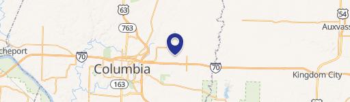
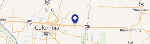
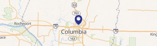
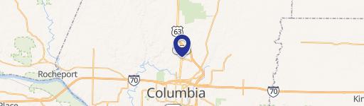
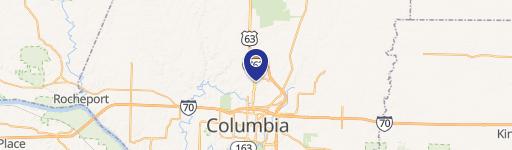
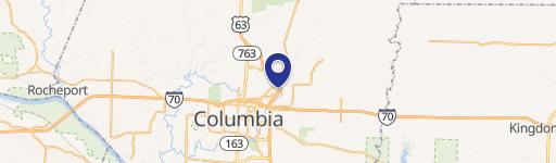
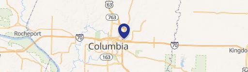
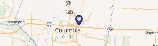
LT 171 Hwy Hh Rdg Columbia, MO 65202
Property profile & analytics
Location Intelligence
Current Use by Public Records
- Land
Property Details for LT 171 Hwy Hh Rdg
- Lot size
- 2.01 lot acres
- Property type
- Land
Description
This exceptional 2.01-acre commercial lot is situated at the high-traffic intersection of Route B and Highway HH in Columbia, Missouri (Settler's Ridge LT 171, zip code 65202). Boone County's CG-P zoning permits a wide range of commercial uses. The property is currently platted as a single lot, but the owner will consider selling smaller portions, subject to re-platting with Boone County. A minimum lot size of one acre is preferred for any division. Pricing is $150,000 to $250,000 per acre, depending on the size of the purchased parcel
Value Estimations
based on Realmo’s proprietary methodology
-
AI approach
-
CAP approach
-
Comparable approach
-
Alternative Use
Location Insight
- Map
- Local Demand
- City
- Columbia
- County
- Boone
- State
- Missouri
- Longitude
- -92.2756
- Latitude
- 39.027