
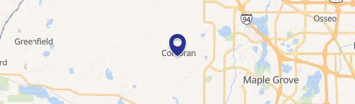
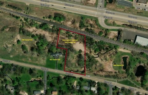
0 County Rd 19 & Larsen Rd, Corcoran, MN 55340
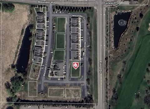
This exceptional 38.14-square-foot lot, located at the intersection of County Road 19 and Larsen Road in Corcoran, Minnesota, presents a unique opportunity for discerning buyers. Situated in Hennepin County, with a zip code of 55340, this property is zoned Rural Residential - RR, offering versatility for various development projects. The asking price is $1,400,000. Its convenient location provides quick access to Highway 55, enhancing its appeal for commuters and those seeking easy access to major transportation routes. The property's small size makes it suitable for a variety of uses, including a potential hobby farm or a strategic investment opportunity in a rapidly growing area. The parcel is identified by APN 18-119-23-42-0001. This land falls within the Independent School District 883, the Rockford Area School District, providing access to quality education for future residents. Given its zoning and location, this property represents a compelling investment prospect with significant potential for future development. The coordinates are 45.112592 latitude and -93.6357043 longitude.
Cap rate
Implied · in-place · derived from last sale + estimated NOIValue
AI, CAP & Alternative Use estimations · Realmo proprietary blendComparables
6 recent transactions · within 1.5 miComparable in this City


Similar Nearby for Sale


Property description
Physical attributes from public recordsZoning & alternative use
No recorded transactions found for this property.
Costs & Benchmarks
Operating expenses, capex projections, utility benchmarks, and submarket comparables — all in one view.
Risks
Flood, climate, environmental, title, and tenant-concentration risk — surfaced with mitigations and source citations.


