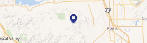
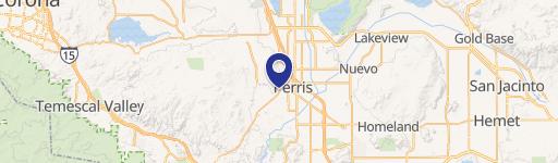
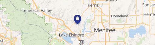
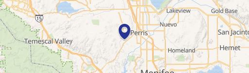
23746 Ca-74 Perris, CA 92570
Current Use by Public Records
- Land
Property Details for 23746 Ca-74
- Property type
- Land
Description
This exceptional 304,485 square foot commercial land parcel, located at 23746 CA-74 in Perris, California (zip code 92570), presents a remarkable investment opportunity for developers. The property, encompassing APNs 326-250-027, 326-250-028, 326-250-029, and 326-250-039, is zoned for mixed-use development and is ideally suited for high-density housing or light industrial uses with small commercial frontage, per Riverside County's Land Development Director. This strategic location benefits from significant traffic volume, with 23,392 vehicles daily on State Highway 74 and Dockery Lane NE in 2022, and 24,790 vehicles daily on State Highway 74 and Navajo Road N in the same year. The property's proximity to convenient commuter rail service—a mere two-minute drive to the Perris Downtown Metrolink (91-Perris Valley Line)—further enhances its appeal. Nearby developments include fast food, light commercial establishments, and high-density senior living across Highway 74. The intersection at Dockery will be signalized. All potential buyers are urged to conduct their own due diligence and independent investigations. Asking price is $1,800,000.
Value Estimations
based on Realmo’s proprietary methodology
-
AI approach
-
CAP approach
-
Comparable approach
-
Alternative Use
Location Insight
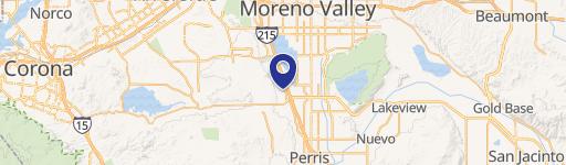
- Map
- Local Demand
- City
- Perris
- County
- Riverside
- State
- California
- Longitude
- -117.246
- Latitude
- 33.7751