21st And Adams Topeka, KS 66605
Current Use by Public Records
- Land
Property Details for 21st And Adams
- Property type
- Land
Description
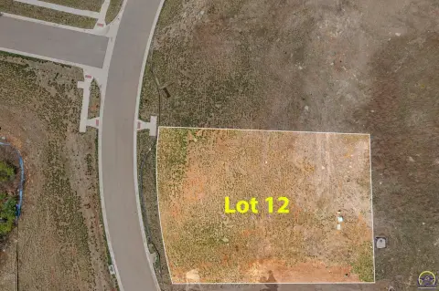
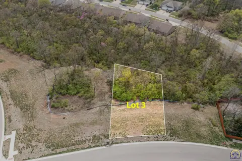
This exceptional commercial land parcel, located at the intersection of 21st and Adams in Topeka, Kansas, presents a unique investment opportunity. The property, identified by APN 1330604012013000, boasts a substantial lot size of 25,129 square feet and is zoned M2 - M-1, allowing for a variety of commercial uses. Situated in Shawnee County, with a Topeka, KS 66605 zip code, this property offers excellent visibility and accessibility. The address is specifically identified as 21st and Adams, within Heery's 2nd Addition, encompassing Lot 717 and portions of adjacent lots (717-719). This prime location provides significant potential for development, making it an attractive proposition for businesses seeking a strategic foothold in a thriving area. The asking price for this exceptional land parcel is $300,000. Further details regarding the specific lot boundaries and permitted uses under the M2-M1 zoning are readily available upon request. This is a rare opportunity to acquire a substantial commercial lot in a desirable Topeka location.
Value Estimations
based on Realmo’s proprietary methodology
-
AI approach
-
CAP approach
-
Comparable approach
-
Alternative Use
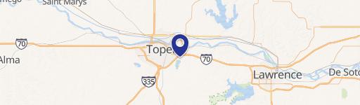
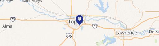
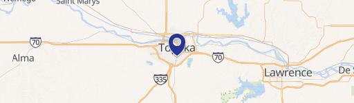
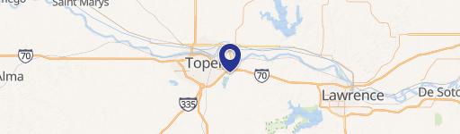
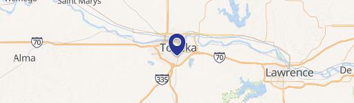
Location Insight
- Map
- Local Demand
- City
- Topeka
- County
- Shawnee
- State
- Kansas
- Longitude
- -95.6714
- Latitude
- 39.0152