Property profile & analytics
Tbd Pearl Dr Dr Arkansas Junction, NM 88240
- Land
- 2.16 lot acres
OFF-MARKET
Value Estimations
Cap Rate Potential
Location Intelligence
Current Use by Public Records
- Land
Property Details for 0 Tbd Pearl Dr Dr
- Lot size
- 2.16 lot acres
- Property type
- Land
Description
This exceptional 2.156-acre parcel of land is located in Hobbs, New Mexico, within Lea County, and presents a compelling investment opportunity. Situated on TBD Pearl Drive Drive, with the zip code 88240, this property offers significant potential for various development projects. The land's size provides ample space for a range of uses, subject to local zoning regulations. The asking price for this property is $200,000. Its convenient location in Hobbs, NM, offers easy access to local amenities and infrastructure. Interested parties are encouraged to conduct their own due diligence regarding zoning, utilities, and potential development restrictions. The geographic coordinates are 32.6702606 latitude and -103.4049445 longitude. A drive-by is recommended to assess the property's suitability for your specific needs. Further information is available upon request. This is a rare opportunity to acquire a sizable land parcel in a growing area of New Mexico. Don't miss out on this chance to secure a valuable asset in a desirable location. Contact us today to learn more about this exceptional property and its development potential.
Value Estimations
based on Realmo’s proprietary methodology
-
AI approach
-
CAP approach
-
Comparable approach
-
Alternative Use
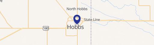
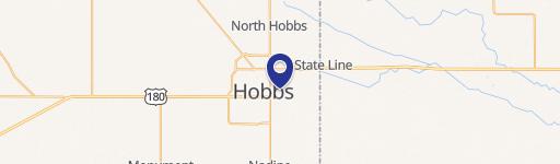
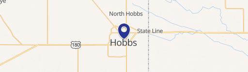
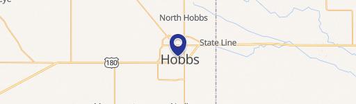
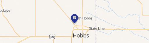
Location Insight
- Map
- Local Demand
- City
- Arkansas Junction
- County
- Lea
- State
- New Mexico
- Longitude
- -103.405
- Latitude
- 32.6703