0 County Road 530 Tract 3, Williamsville, MO 63967

- Added:
- Jun 13, 2026
- Days on Market:
- 2
- Last Refresh:
- Jun 14 at 9:06 pm
Property Features for 0 County Road 530 Tract 3
General Information
- Property type
- Land
- Property subtype
- Other
- Zoning
- Residential
- Exterior features
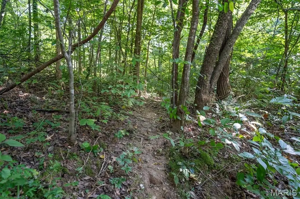
- Rolling Slope, Secluded
- Standard status
- Active
- APN
- 08-03-05.0-000-000-004.000
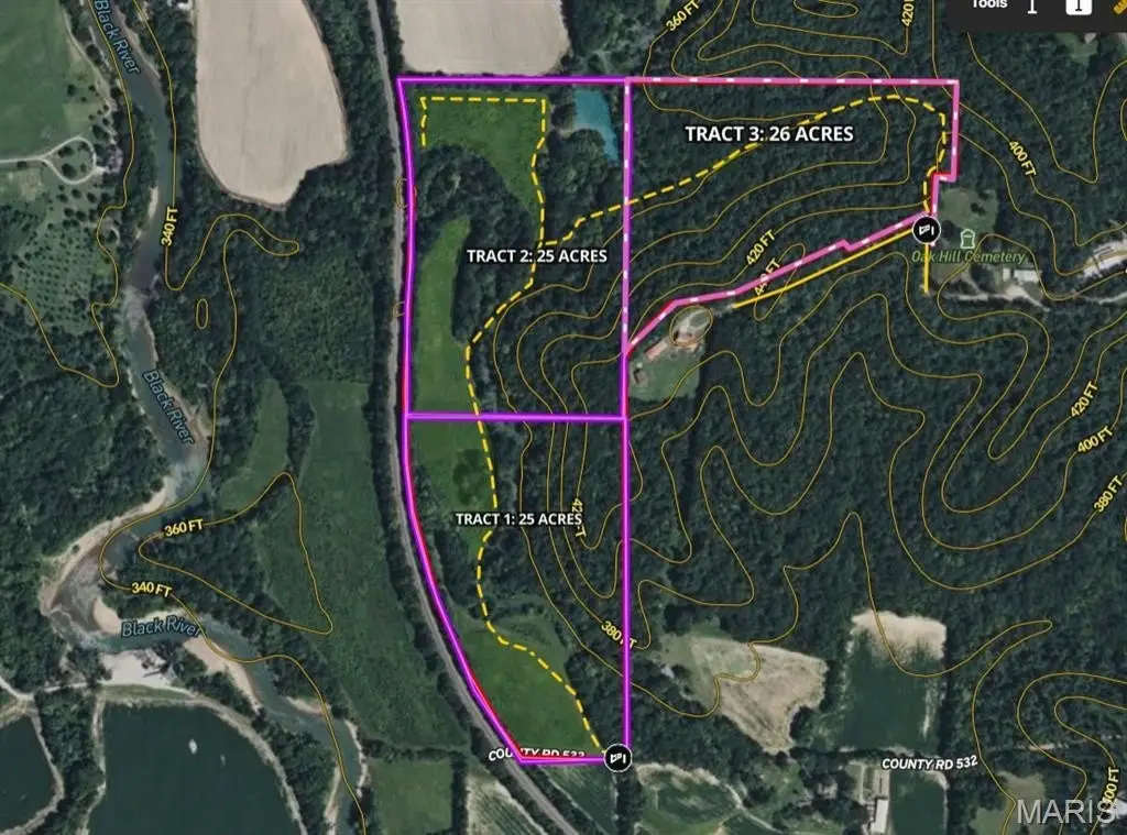
- Lot size
- 26.00 Acres
Building Details
- Architectural style
- Other
Listing agent Jordan Thompson License #2024007717 (573) 701-8961
Listing office Premier Farm Realty Group LLC 8721 Commercial Blvd, Pevely, MO (636) 387-8317
Listing date Jun 13, 2026
Copyright © 2026 Mid America Regional Information Systems, Inc. All rights reserved. All information provided by the listing agent/broker is deemed reliable but is not guaranteed and should be independently verified.
HighLights
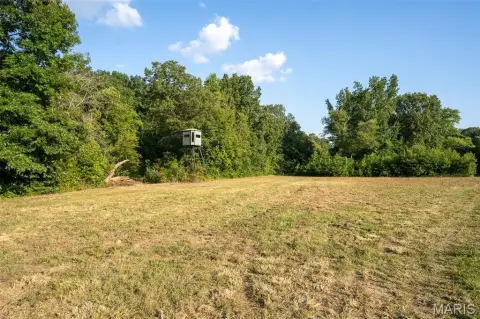
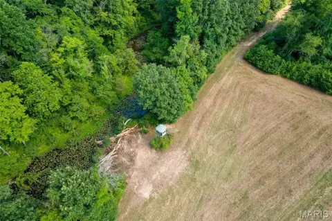
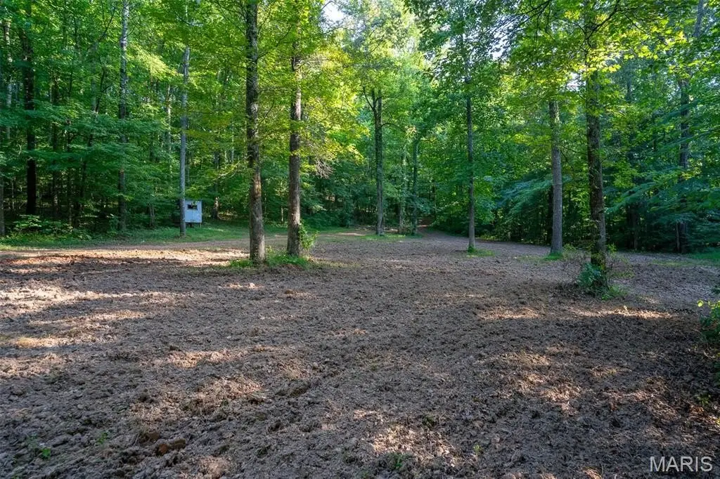
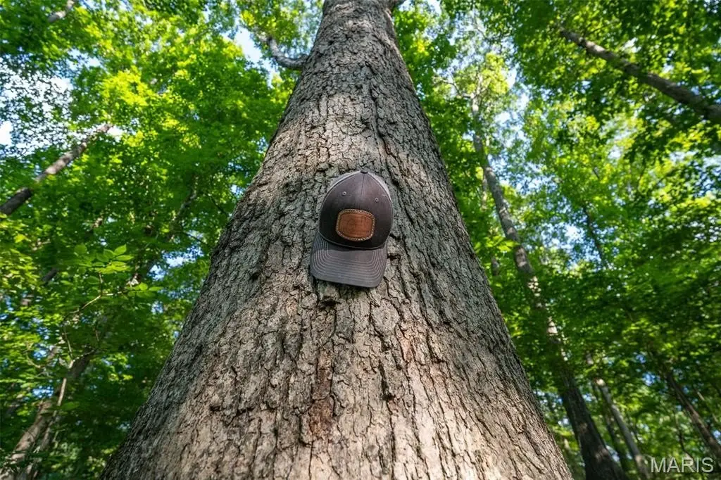
- 25‑acre recreational tract near Black River with rolling slope and secluded setting
- Mature oak trees plus a small food plot to attract whitetails
- Several hillside build sites with access from the county road
- Just 10 minutes from Poplar Bluff for nearby shopping, dining, and amenities
- Property will have to be surveyed; 26‑acre tract is being split from Listing ID 26008078
Overview
The property is located near the Black River, positioning it for water-based recreation such as fishing and floating. It is also described as being minutes from town with proximity to Poplar Bluff for access to everyday shopping, dining, and amenities. Survey is required, and the tract is being created as part of a split from a larger parcel.
For buyers seeking a private outdoor retreat, the combination of mature timber, a small food plot, and water proximity supports common recreational uses like hunting and day-to-day outdoor enjoyment. For those planning residential development, the hillside topography and multiple build-site locations provide practical options, with county-road access intended to support construction logistics. Zoning is listed as Residential.
Current Use by Public Records
Map
- City
- Williamsville
- County
- Wayne
- State
- Missouri
- Longitude
- -90.4939
- Latitude
- 36.9642