Williams Pond Road E, Bucksport, ME 04416
- Added:
- Jun 24, 2026
- Days on Market:
- 4
- Last Refresh:
- Jun 27 at 6:06 pm
Property Features for Williams Pond Road E
General Information
- Property type
- Land
- Property subtype
- Other
- Zoning
- R2
- Parking features
- Driveway
- Standard status
- Active
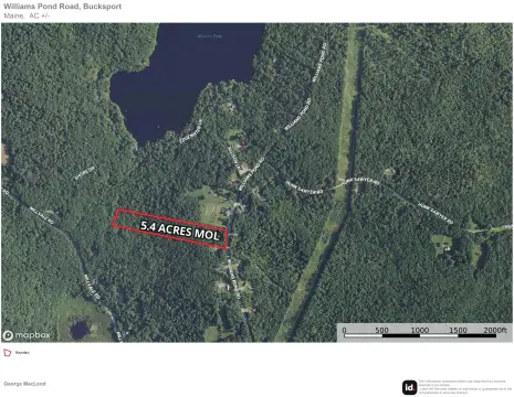
- Lot size
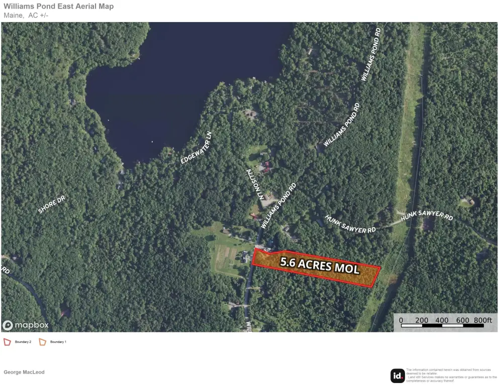
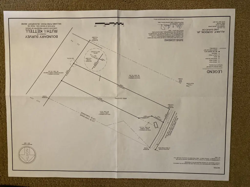
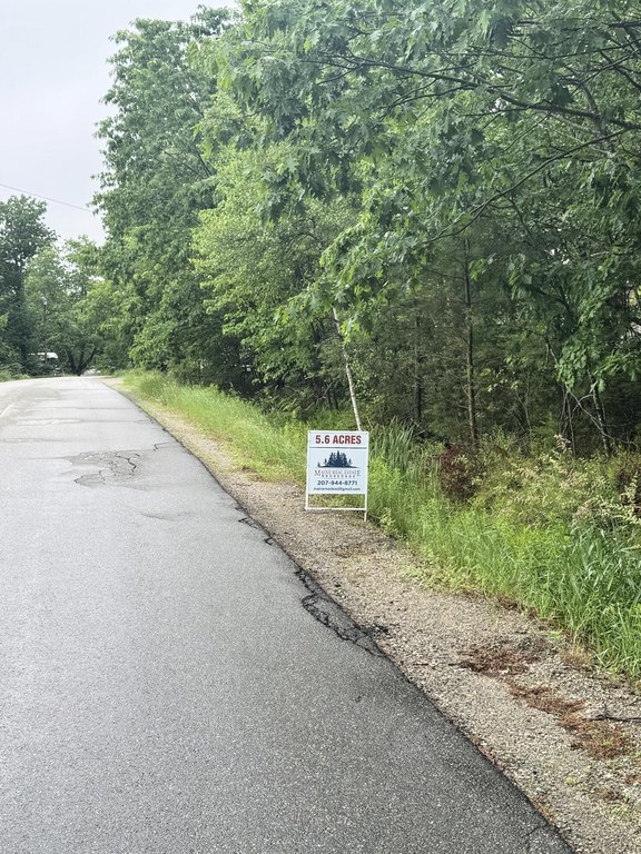
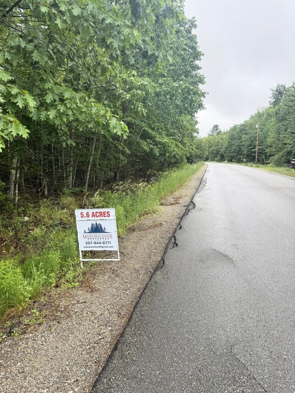
- 5.60 Acres
Taxes and HOA fees
- Tax Year
- 2026
- Tax Annual Amount
- 575
Listing agent George MacLeod (207) 702-9146
Listing office Maine Real Estate Brokerage 63 Main Street, Bucksport, ME (207) 702-9146
Listing date Jun 24, 2026
Copyright © 2026 Maine Listings. All rights reserved. All information provided by the listing agent/broker is deemed reliable but is not guaranteed and should be independently verified.
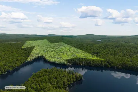
HighLights
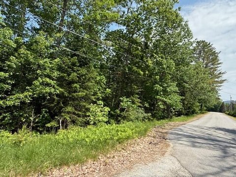
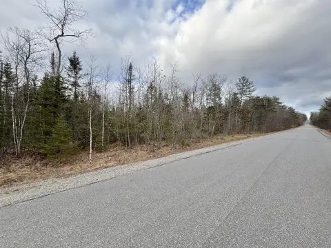
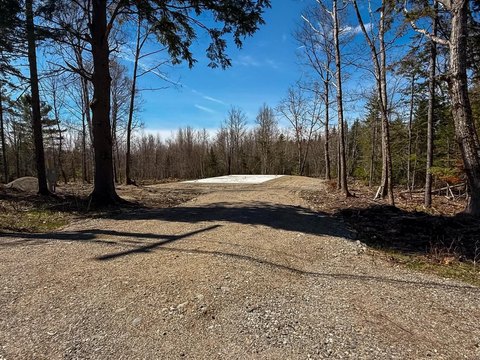
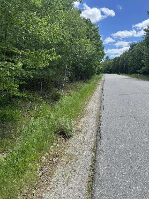
- Lightly forested, level ground with level access to the paved town road
- 1,128' depth for private home setting with generous setback, or other uses
- Located in an R2 zone with business development permitted subject to permitting
- About 7 miles from Bucksport village and about 10 miles to Bangor
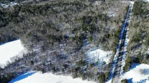
- Abundant wildlife near contiguous undeveloped land and a power line on the east
- Jacob Buck Pond boat landing is a short drive or bike ride away
Overview
The parcel is located about 7 miles from Bucksport village and roughly 10 miles from Bangor, set within a neighborhood setting on a quiet dead-end road. The listing describes a short drive or bike ride to a boat landing at Jacob Buck Pond. Wildlife is noted due to contiguous undeveloped land and a power line corridor to the east.
For buyers looking for residential development in an R2 zone, the property’s level topography and town-road access may simplify site planning for one or more homes, with space for privacy and set-back. Those considering alternative uses will need to confirm what is permitted under R2 and through the applicable approvals process for farming or business development.
Current Use by Public Records
Map
- City
- Bucksport
- County
- Hancock
- State
- Maine
- Longitude
- -68.772849
- Latitude
- 44.645026