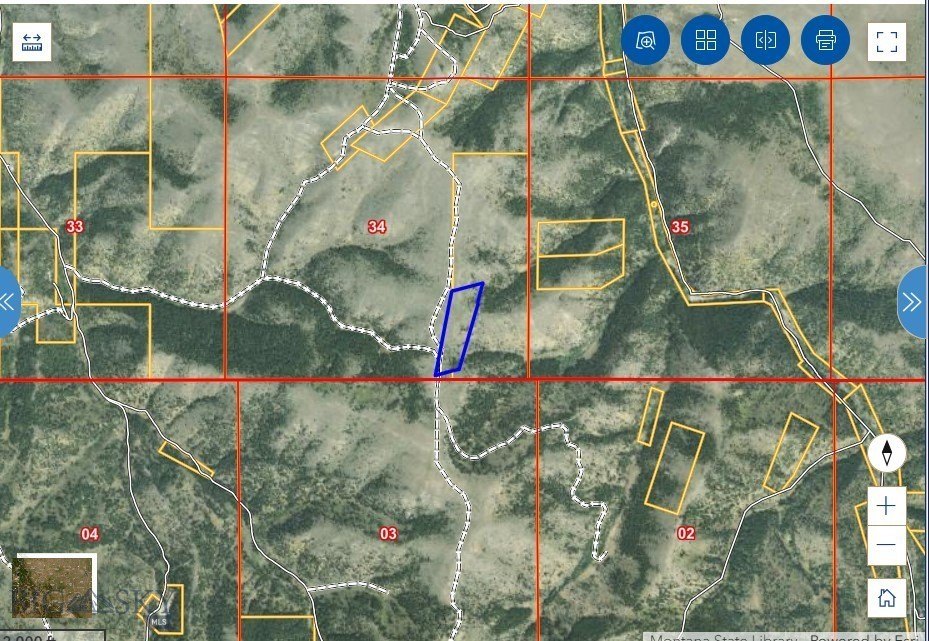
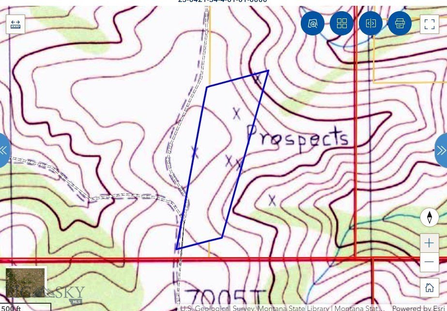
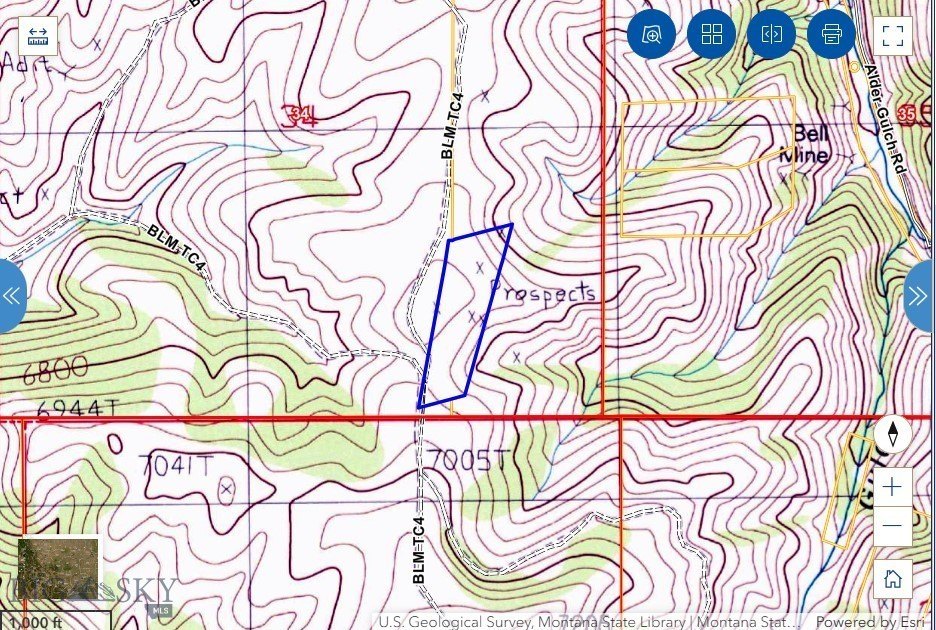
Way Up Lode Survey No. 7310, Virginia City, MT 59729
LAND - Virginia City, MT
- Added:
- Aug 20, 2024
- Days on Market:
- 686
- Last Refresh:
- Jul 6 at 12:06 pm
Property Features for Way Up Lode Survey No. 7310
General Information
- Property type
- Land
- Property subtype
- Other
- Standard status
- Active
- APN
- 0002302300
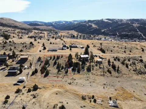
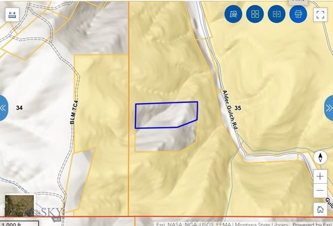
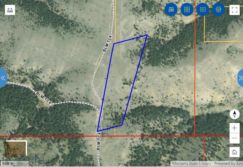
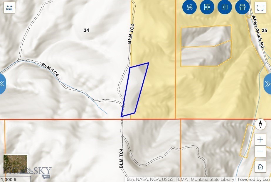
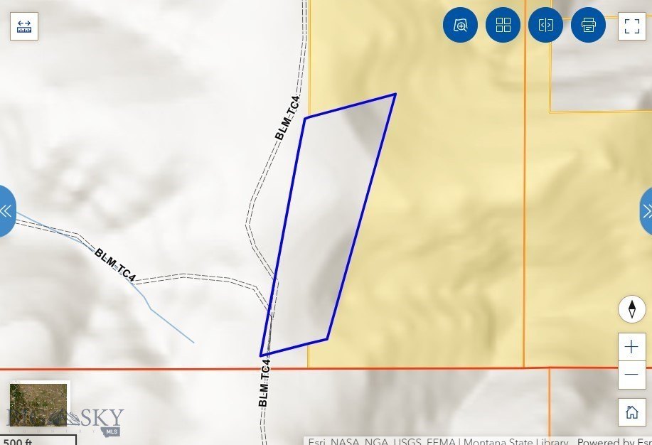
- Lot size
- 15.71 Acres
Taxes and HOA fees
- Tax Year
- 2021
- Tax Description
- S34, T06 S, R03 W, ACRES 15.71, WAYUP SUR 7310 ME 4482 Full: undivided 7.5% interest in the Way Up Lode, Survey No 7310, M.E. No. 4482, Located in the southeast quarter of Section 34, Township 6 South, Range 3 West, M.P.M., and more particularly described in the Patent recorded in Book 64, page 614
- Tax Annual Amount
- 5
Listing agent DeHart Home Hunters License #RBS-79003 (406) 560-8288
Listing office Venture West Realty 135 Mill Town Loop #B, Bozeman, MT (406) 522-9378
Listing date Aug 20, 2024
Copyright © 2026 Big Sky Country MLS. All rights reserved. All information provided by the listing agent/broker is deemed reliable but is not guaranteed and should be independently verified.
HighLights
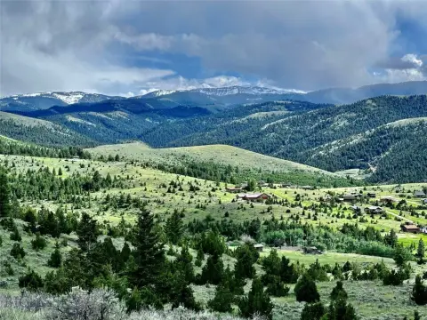
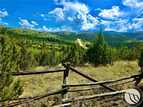
- Fractional ownership (7.5% interest) of 15.71 acres near Virginia City.
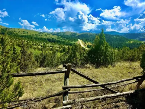
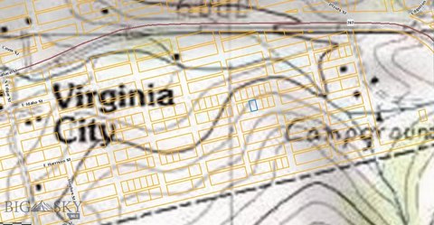
- Proximity to Virginia City and Alder Gulch, offering heritage tourism opportunities.
- Surrounded by BLM land on one side, providing access to public lands.
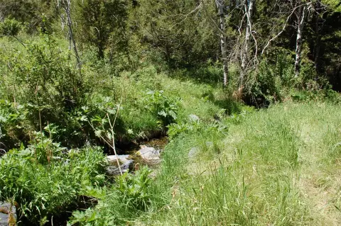
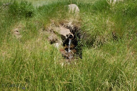
- Potential for prospecting (gold, silver, garnets) due to documented placer and lode activity.
- Suitable for hunting, hiking, and other recreational activities.
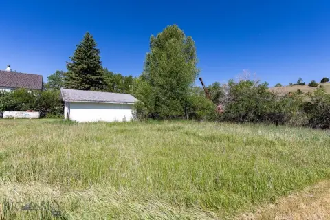
- Scenic views and a remote, off‑grid location.
Overview
Current Use by Public Records
Map
- City
- Virginia City
- County
- Madison
- State
- Montana
- Longitude
- -111.949545
- Latitude
- 45.263815