TBD US Hwy 12, Waubay, SD 57273
- Added:
- Feb 16, 2026
- Days on Market:
- 135
- Last Refresh:
- Jul 1 at 3:06 am
Property Features for TBD US Hwy 12
General Information
- Property type
- Land
- Property subtype
- Other
- Parking features
- Garage
- Standard status
- Active
- APN
- 071153000
- Lot size
- 100.00 Acres
Taxes and HOA fees
- Tax Annual Amount
- 747
Utilities
- Water front features
- Wflake, Waterfront
- Water front
- 1
Building Details
- Architectural style
- Other
Listing agent Katie Graeb (605) 690-8582
Listing office Whitetail Properties Real Estate, LLC 121 S. Madison St, Pittsfield, SD (217) 285-9000
Listing date Feb 16, 2026
Copyright © 2026 My State MLS. All rights reserved. All information provided by the listing agent/broker is deemed reliable but is not guaranteed and should be independently verified.
HighLights
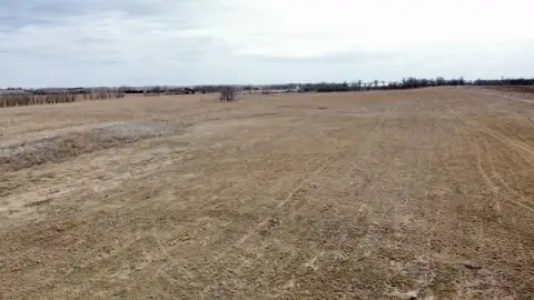
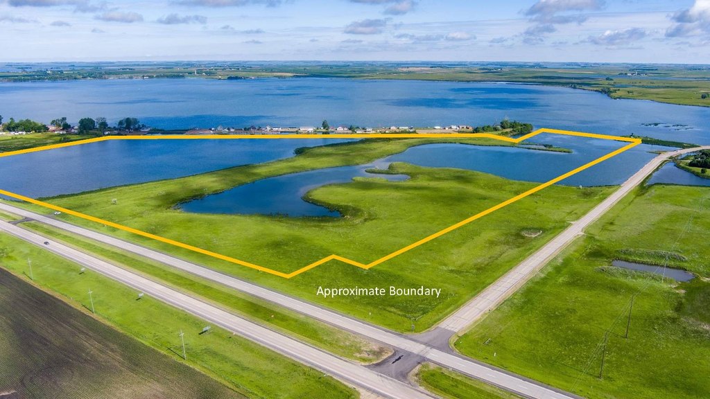
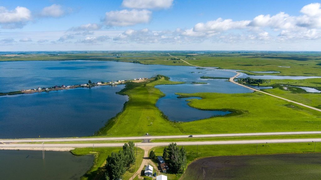
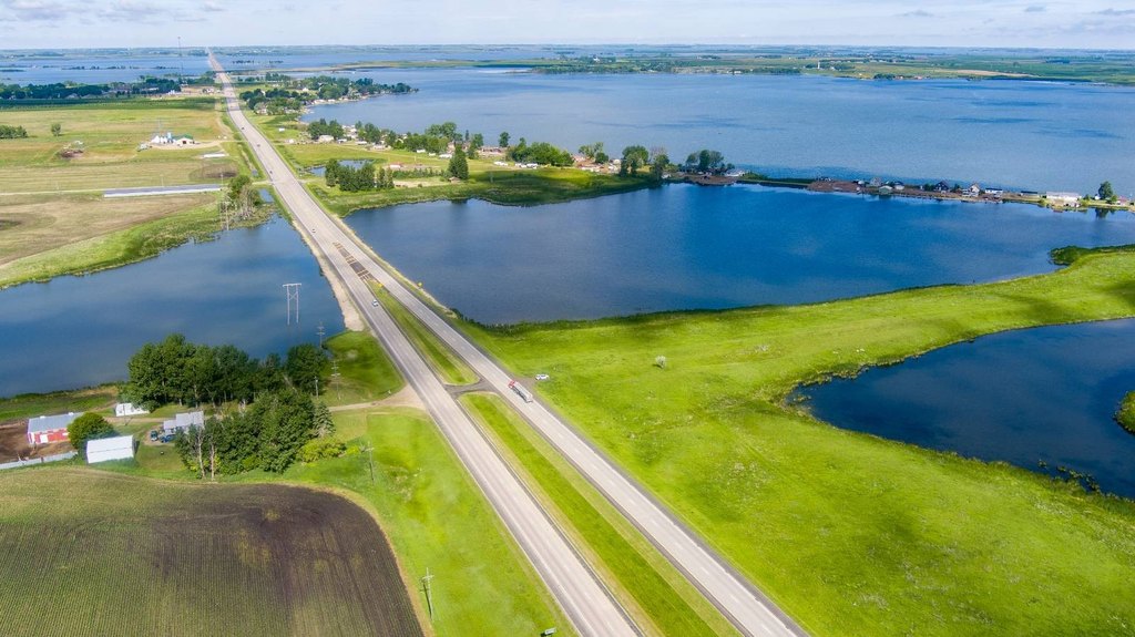
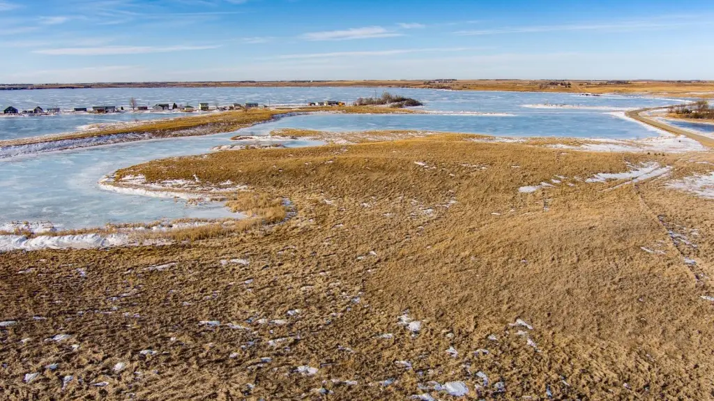
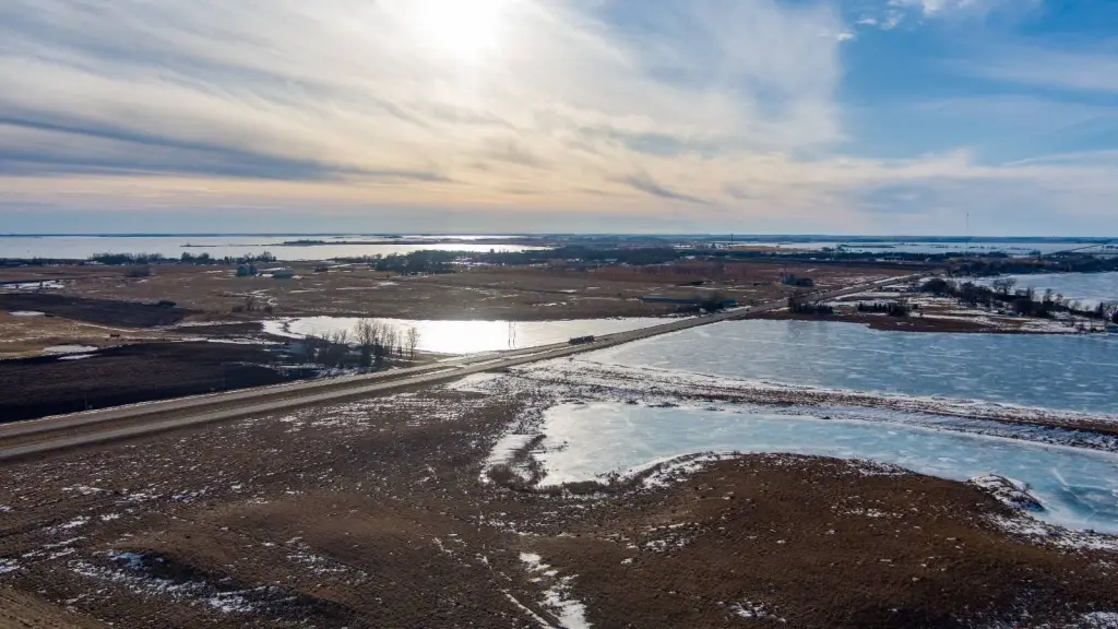
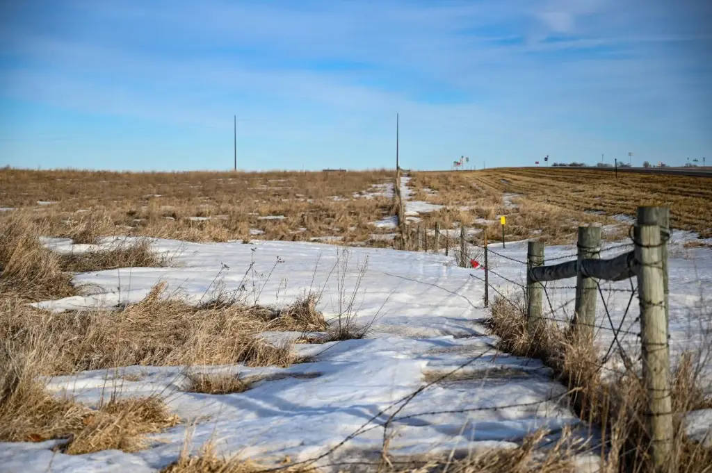
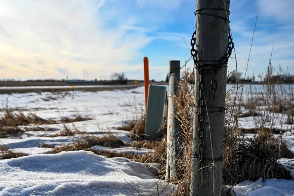
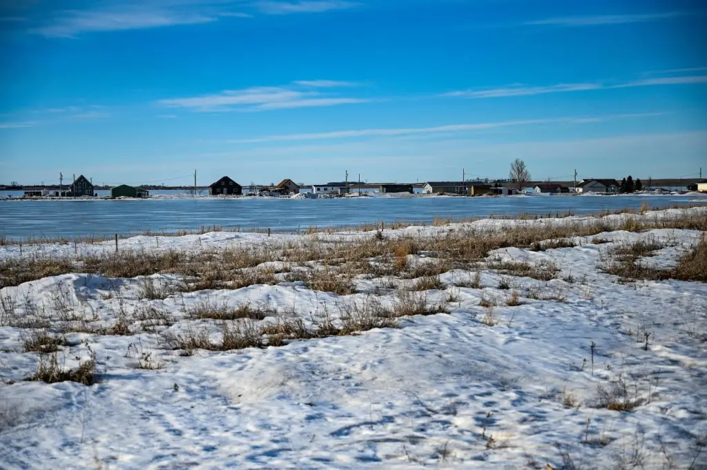
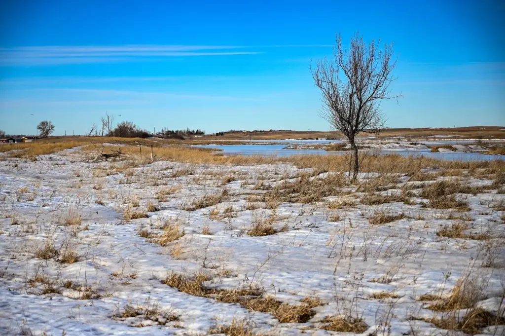
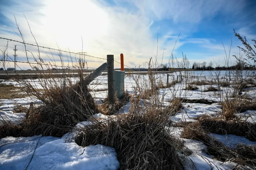
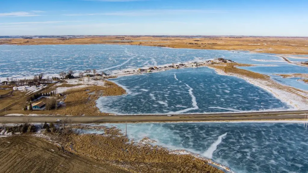
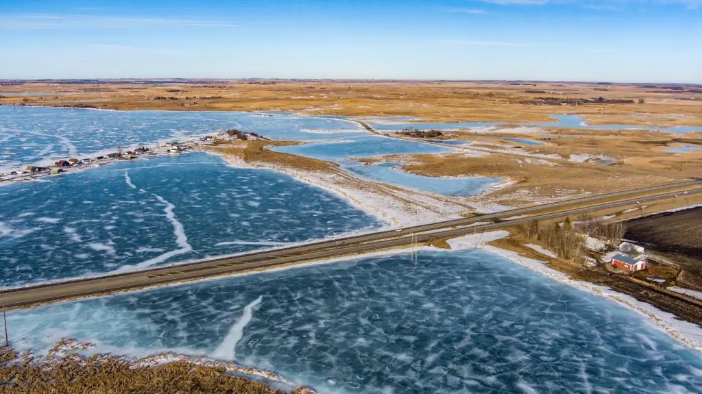
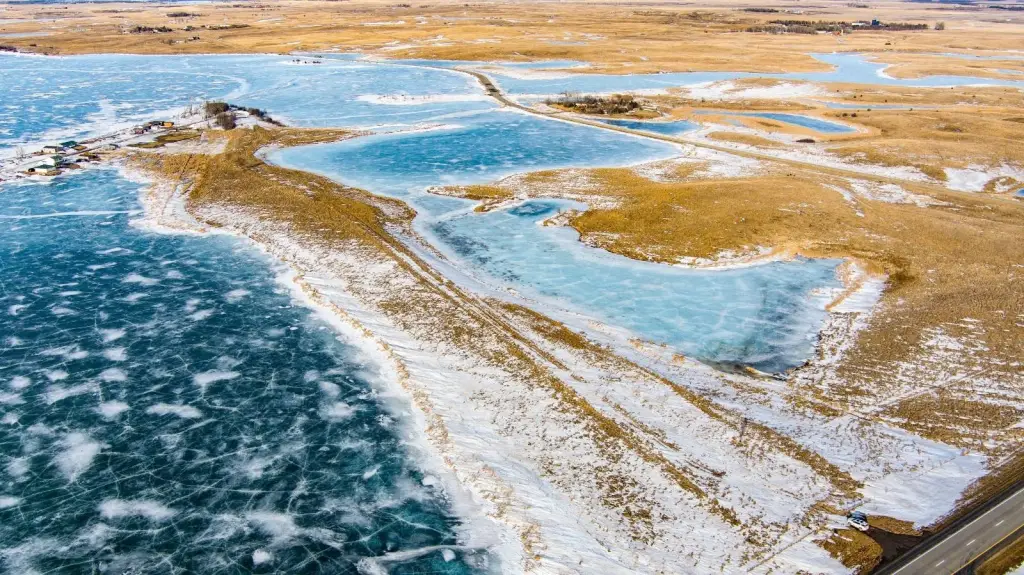
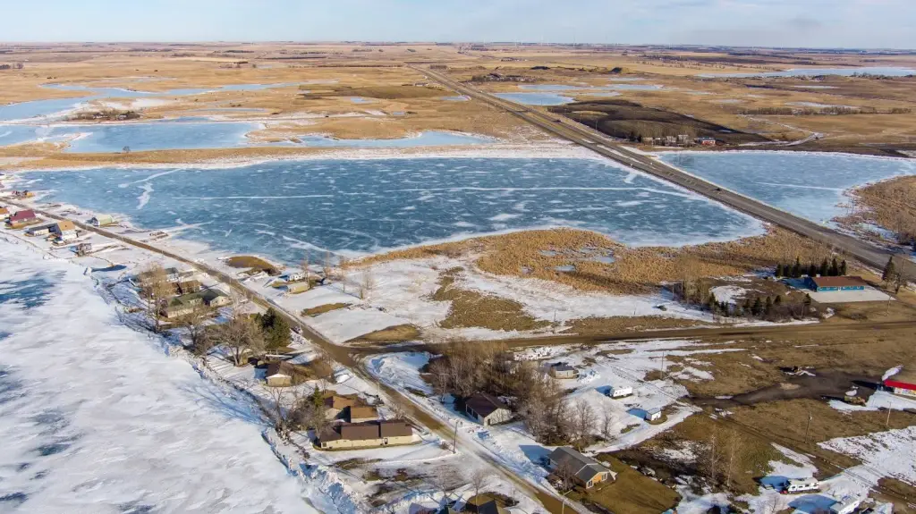
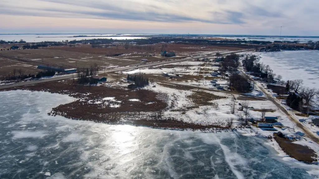
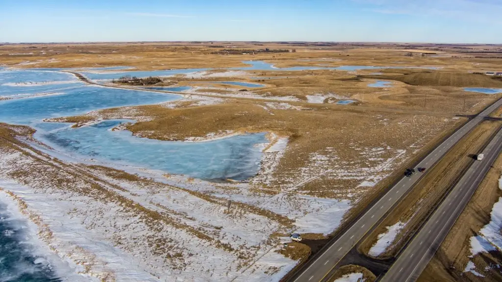
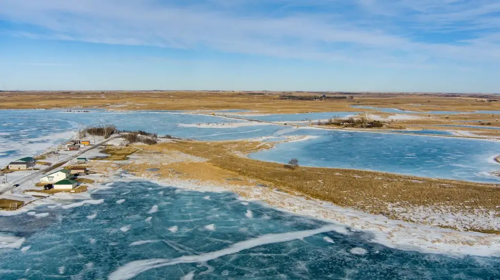
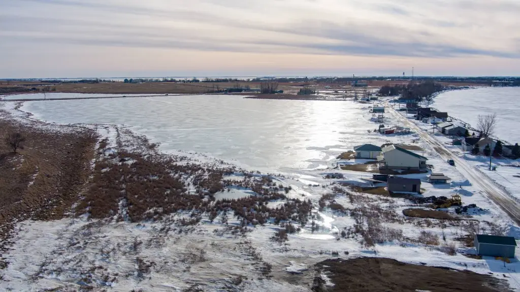
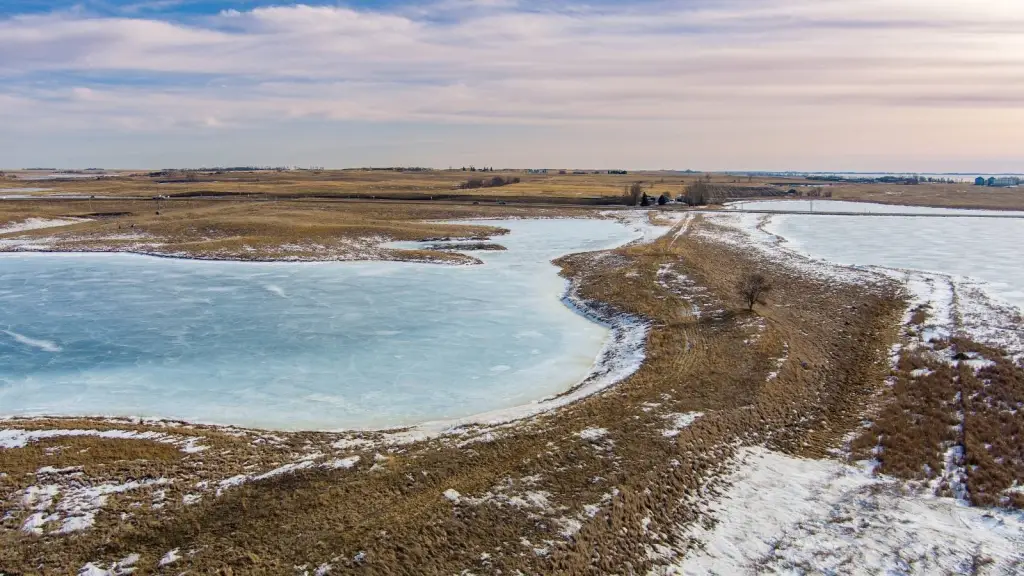
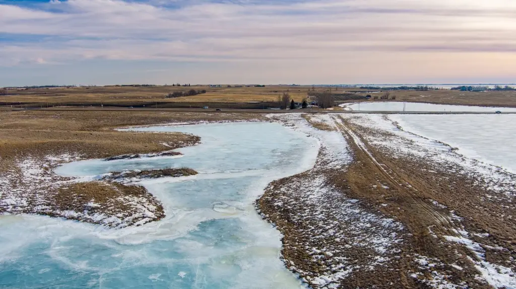
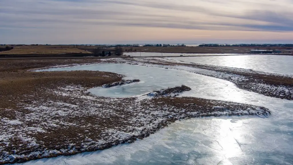
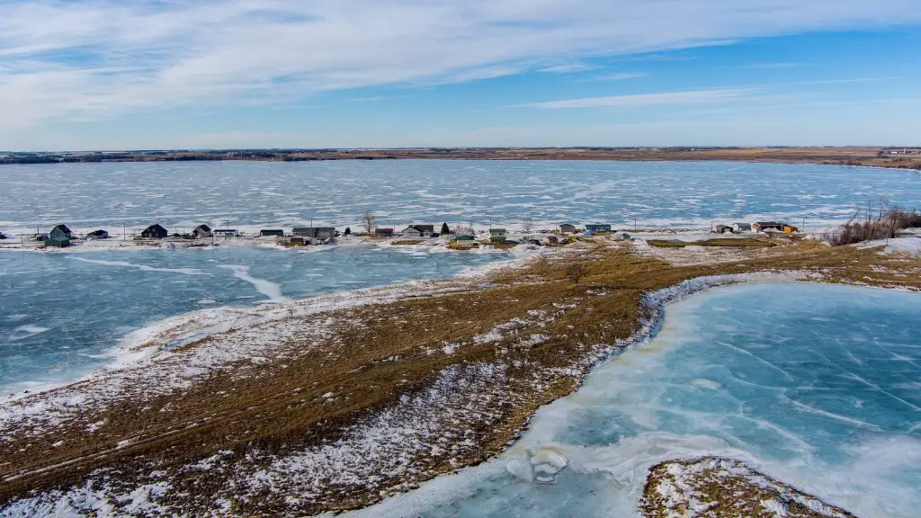
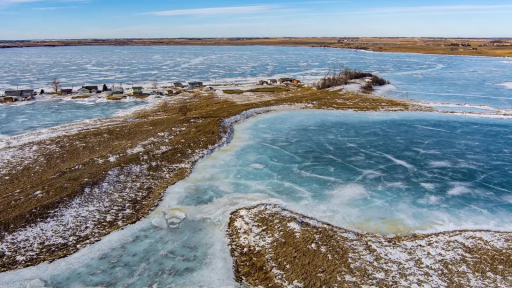
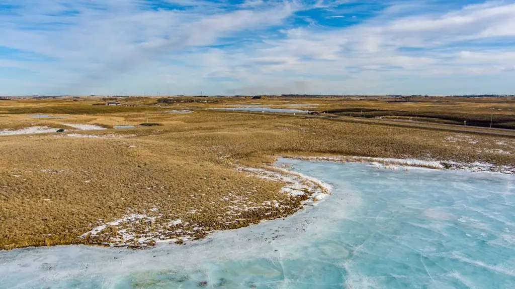
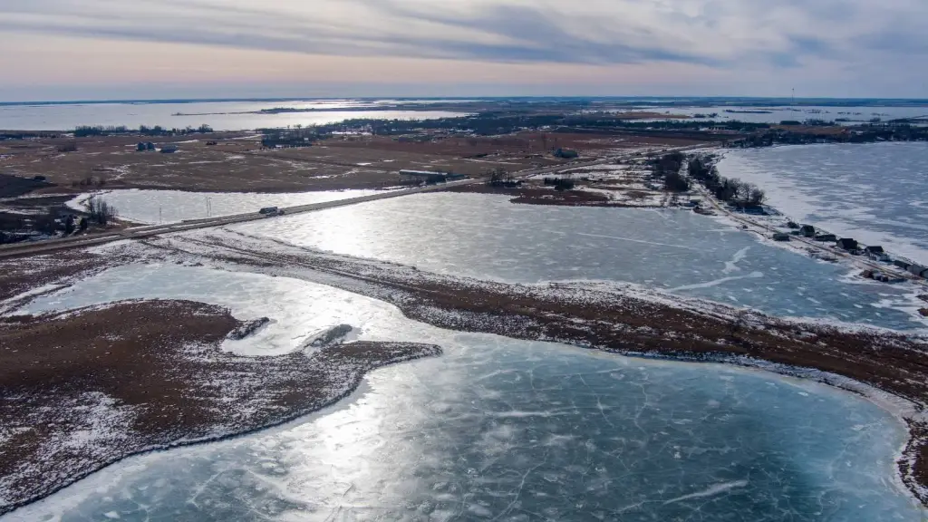
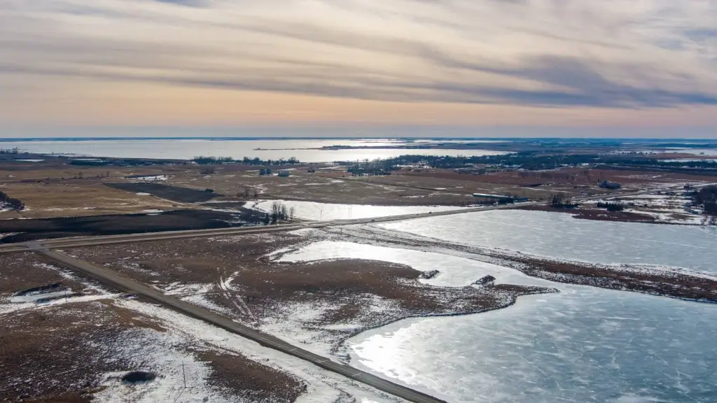
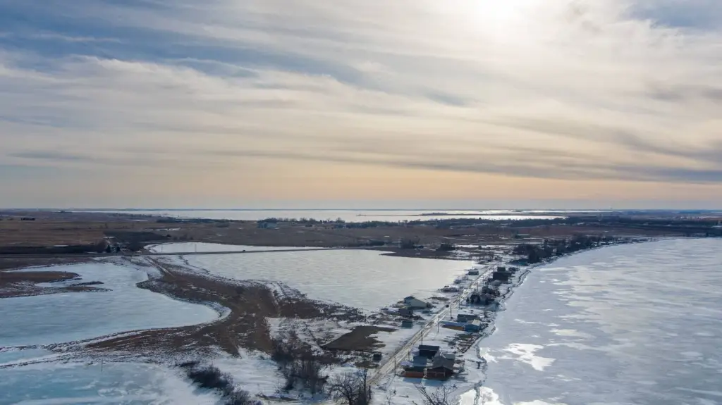
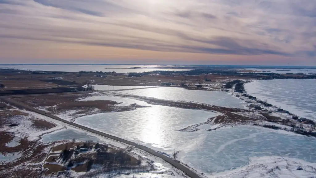
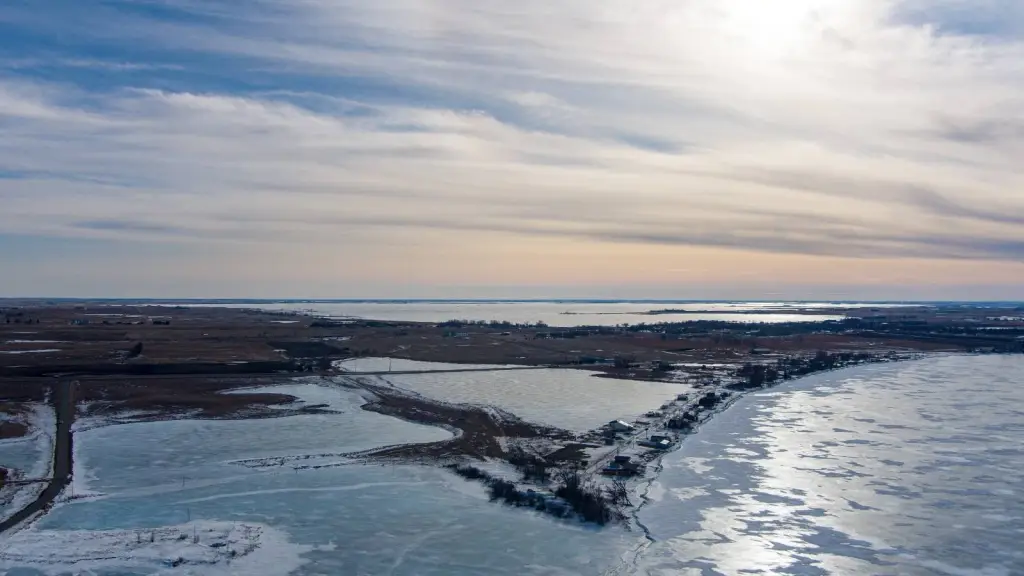
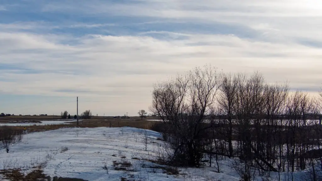
- 100‑acre pasture tract in Day County, SD, located just outside of Waubay
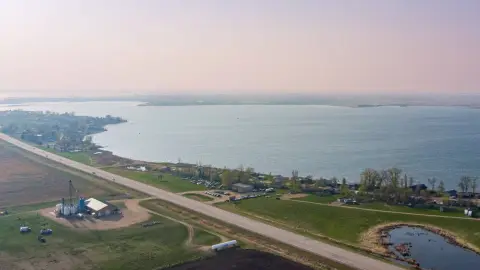
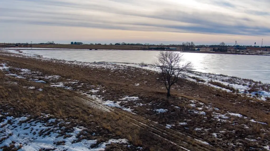
- Access along U.S. Highway 12 for year‑round entry with equipment, trailers, and recreational vehicles
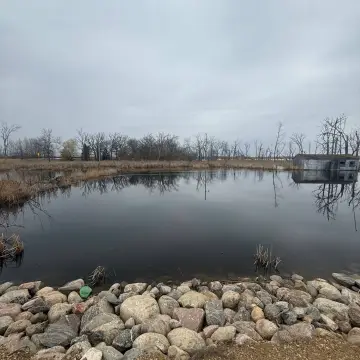
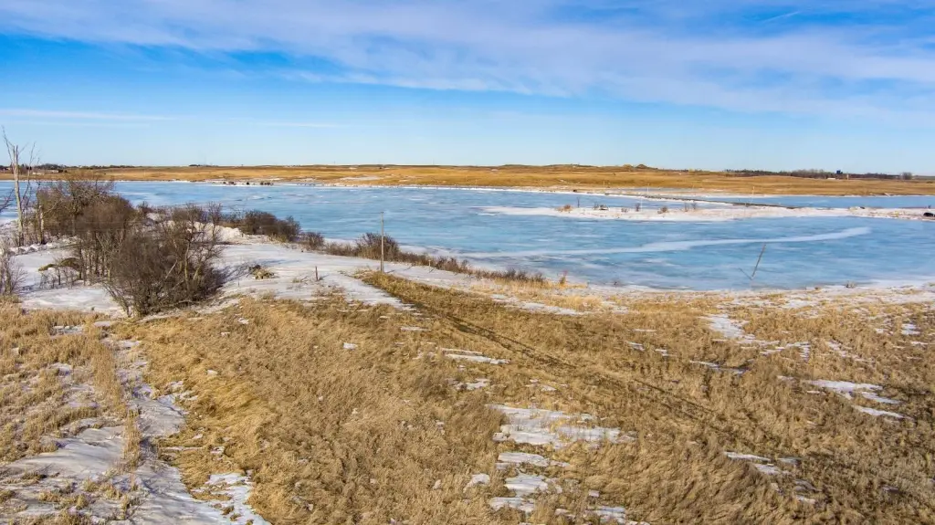
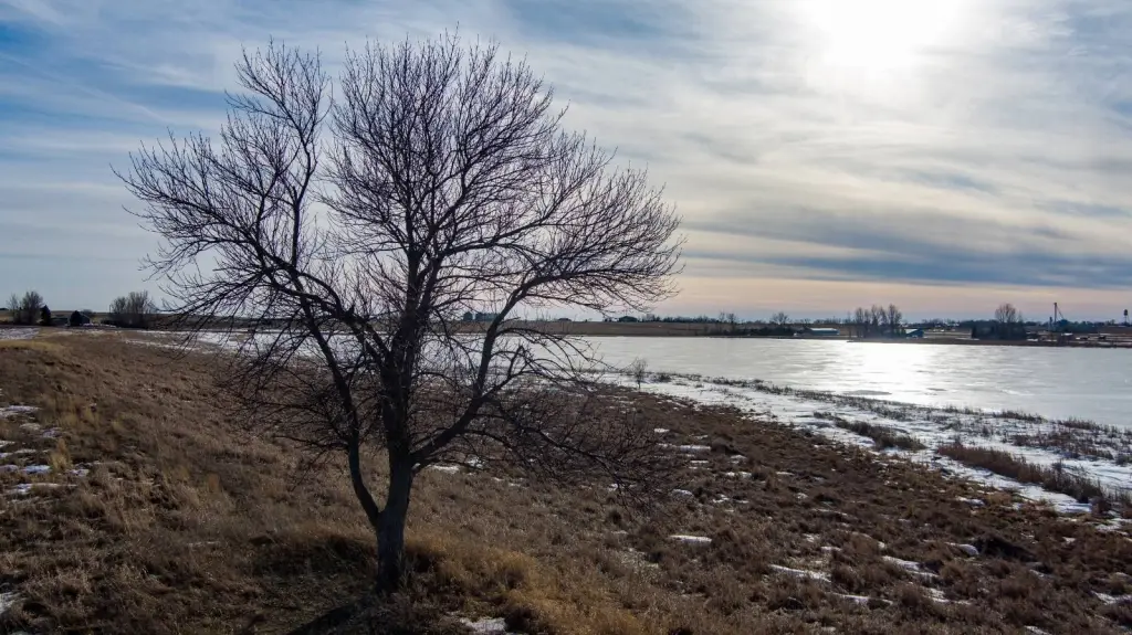
- Includes surface water features and is positioned between U.S. Highway 12 and Blue Dog Lake
- Approximately 23.7 acres enrolled in the Conservation Reserve Program (CRP) for annual income
- Partially fenced with pasture and CRP acreage that can support grazing and conservation objectives
- Located in the Glacial Lakes region near Blue Dog Lake for fishing, boating, and water recreation
Overview
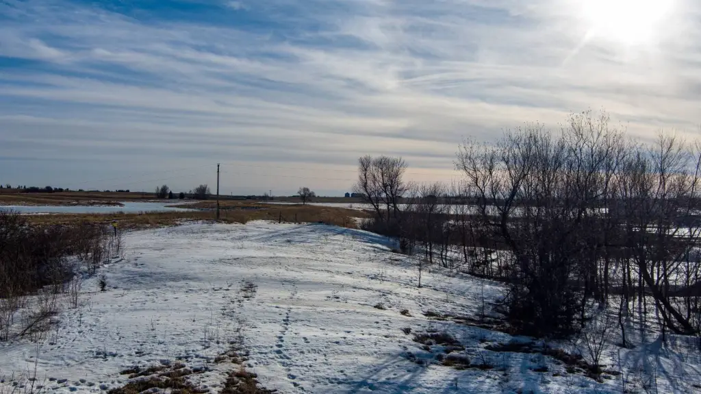
The property is located just outside Waubay and sits along U.S. Highway 12, with the acreage positioned between the highway and Blue Dog Lake. Blue Dog Lake lies to the north and is associated with fishing, boating, and water recreation. The surrounding area supports wildlife activity, including deer, waterfowl, and upland game, and the mix of pasture, CRP habitat, and nearby water supports seasonal outdoor use.
For buyers looking for acreage that can support seasonal grazing, hay production, hunting, or conservation-focused management, the combination of pasture, CRP enrollment, surface water, and partial fencing offers a practical foundation. Nearby communities provide access to local services, and prospective buyers are encouraged to verify CRP contract details, boundary information, and fencing condition to ensure the property aligns with their intended use.
Current Use by Public Records
Map
- City
- Waubay
- County
- Day
- State
- South Dakota
- Longitude
- -97.280779
- Latitude
- 45.342585