County Road 850, Wakita, OK 73771
- Added:
- May 7, 2026
- Days on Market:
- 63
- Last Refresh:
- Jul 8 at 9:06 pm
Property Features for County Road 850
General Information
- Property type
- Land
- Property subtype
- Other
- Fencing
- Fenced
- Standard status
- Active
- Lot size
- 480.00 Acres
Utilities
- Water front features
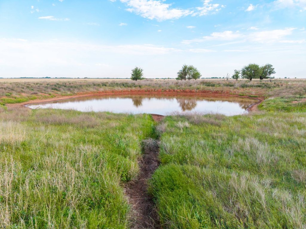
- Pond, Creek
Listing agent Tony Cerar 833-USE-AHLC
Listing office Arrowhead Land Company 205 E Dewey Ave, Sapulpa, OK (833) 873-2452
Listing date May 7, 2026
Copyright © 2026 My State MLS. All rights reserved. All information provided by the listing agent/broker is deemed reliable but is not guaranteed and should be independently verified.
HighLights
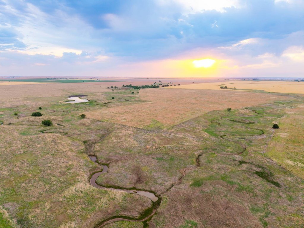
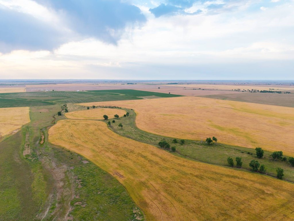
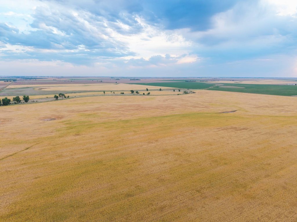
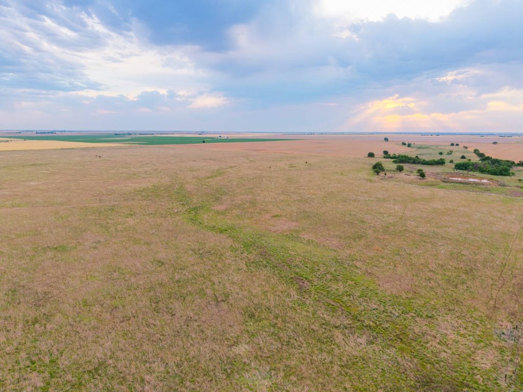
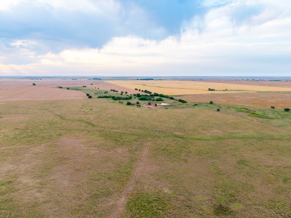
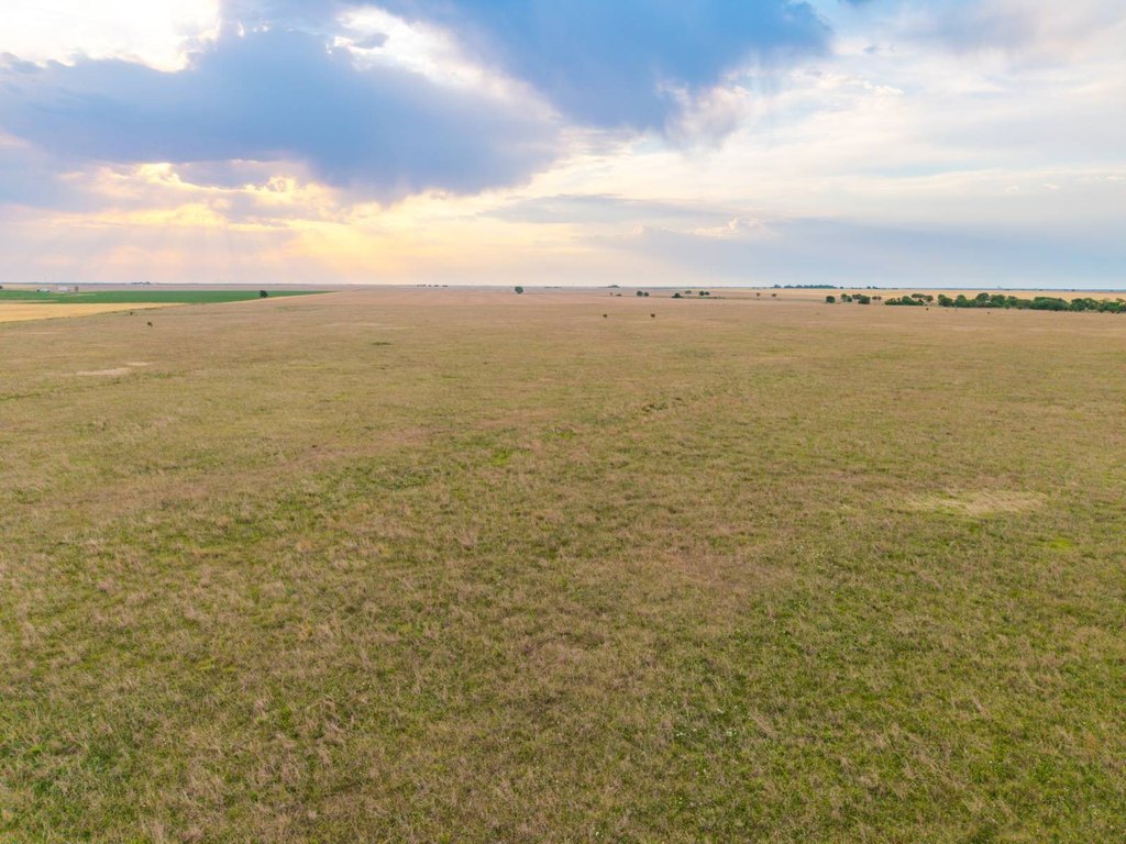
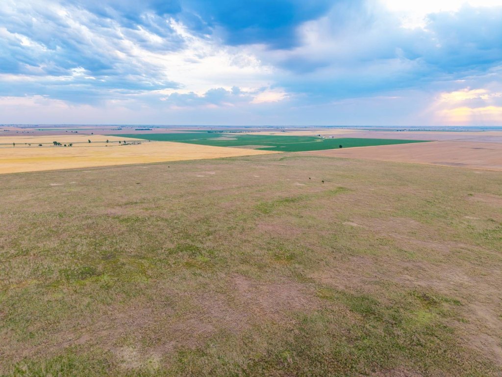
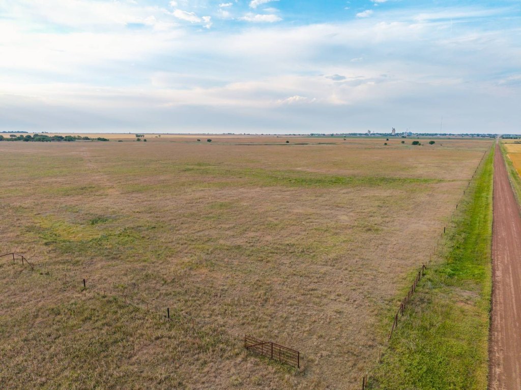
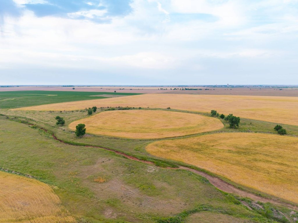
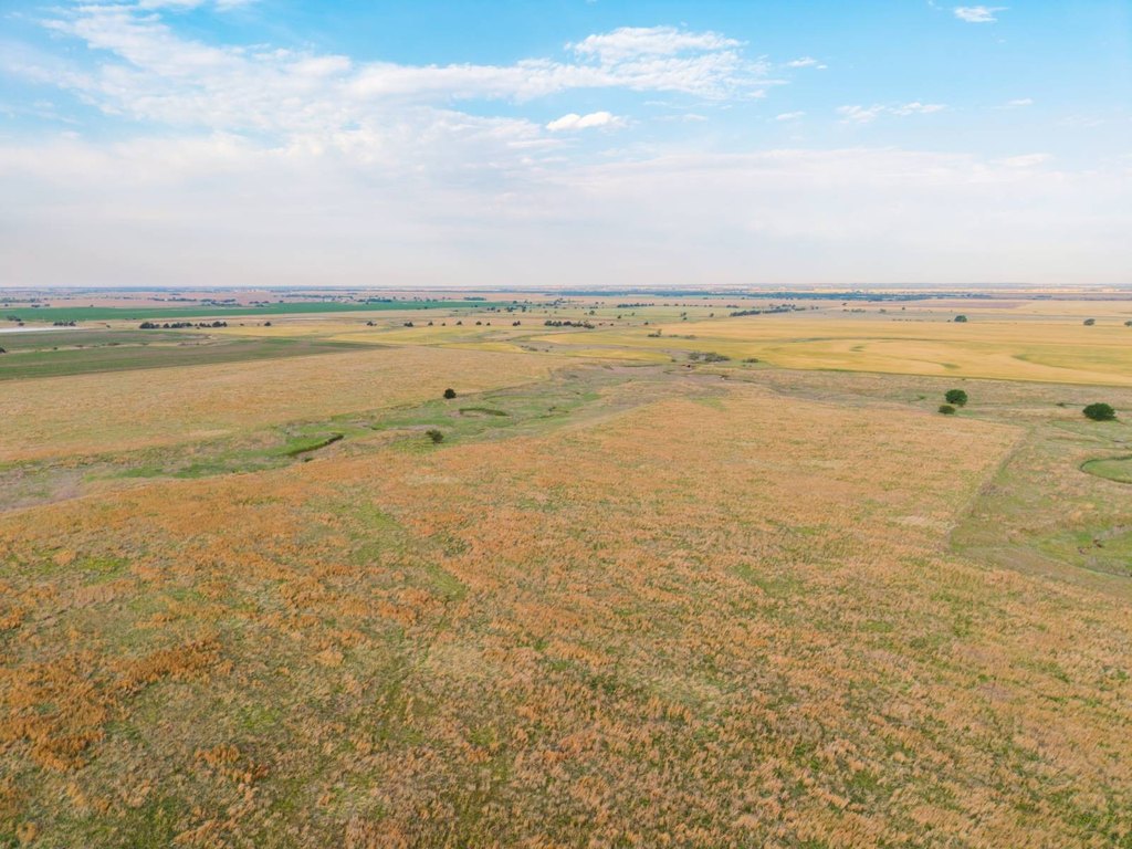
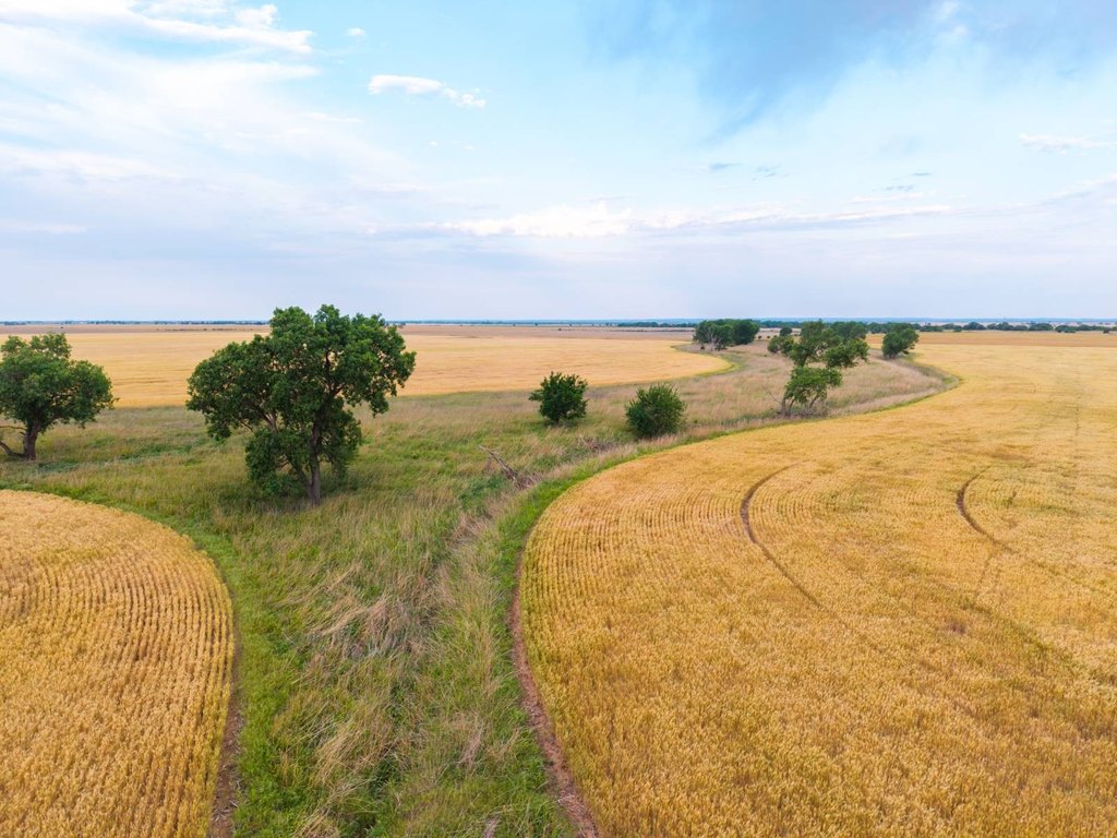
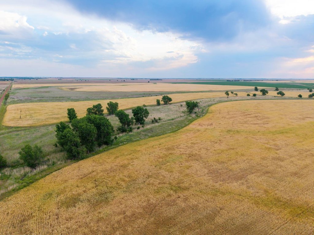
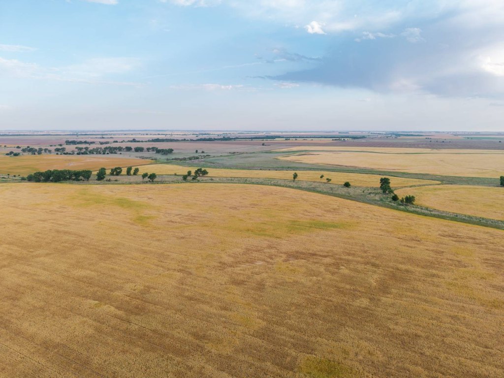
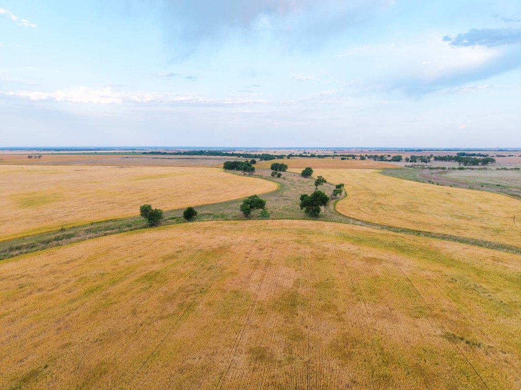
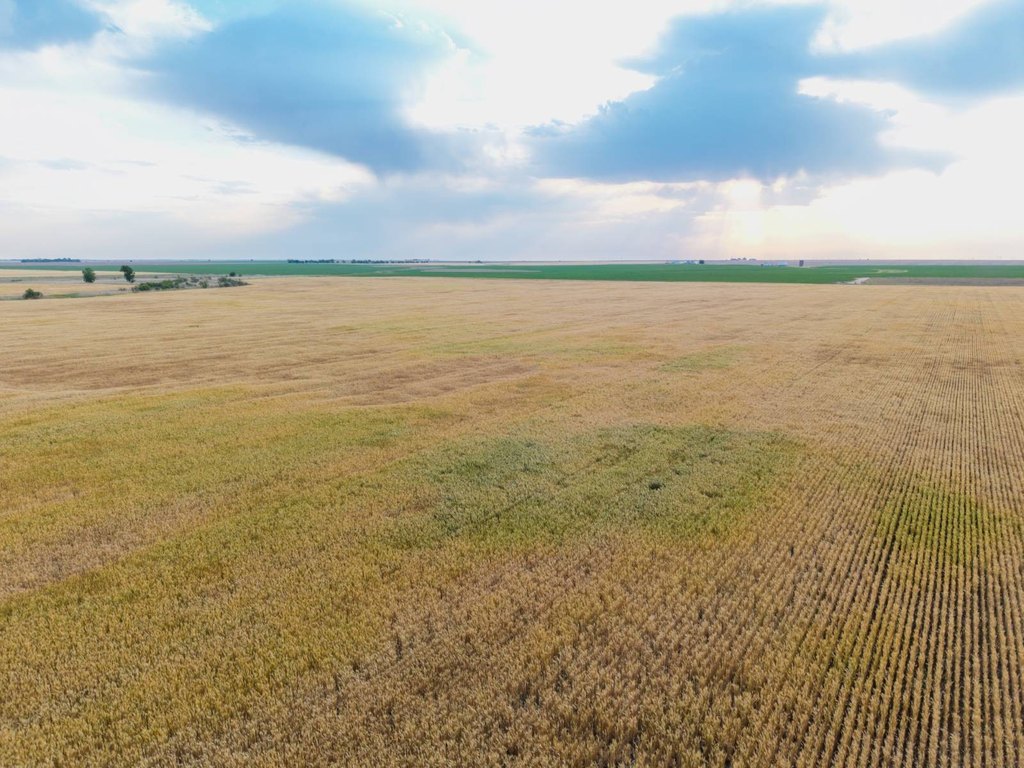
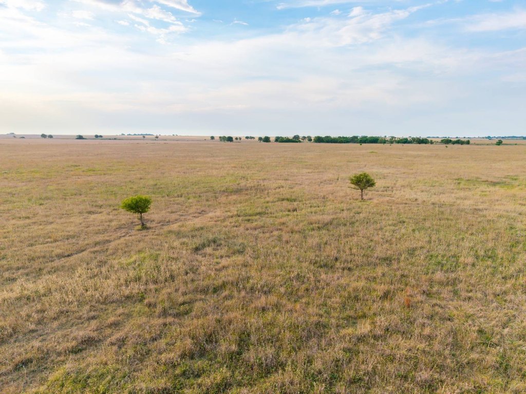
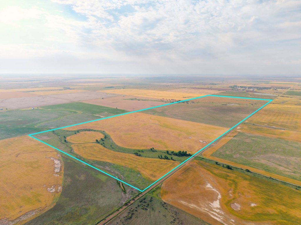
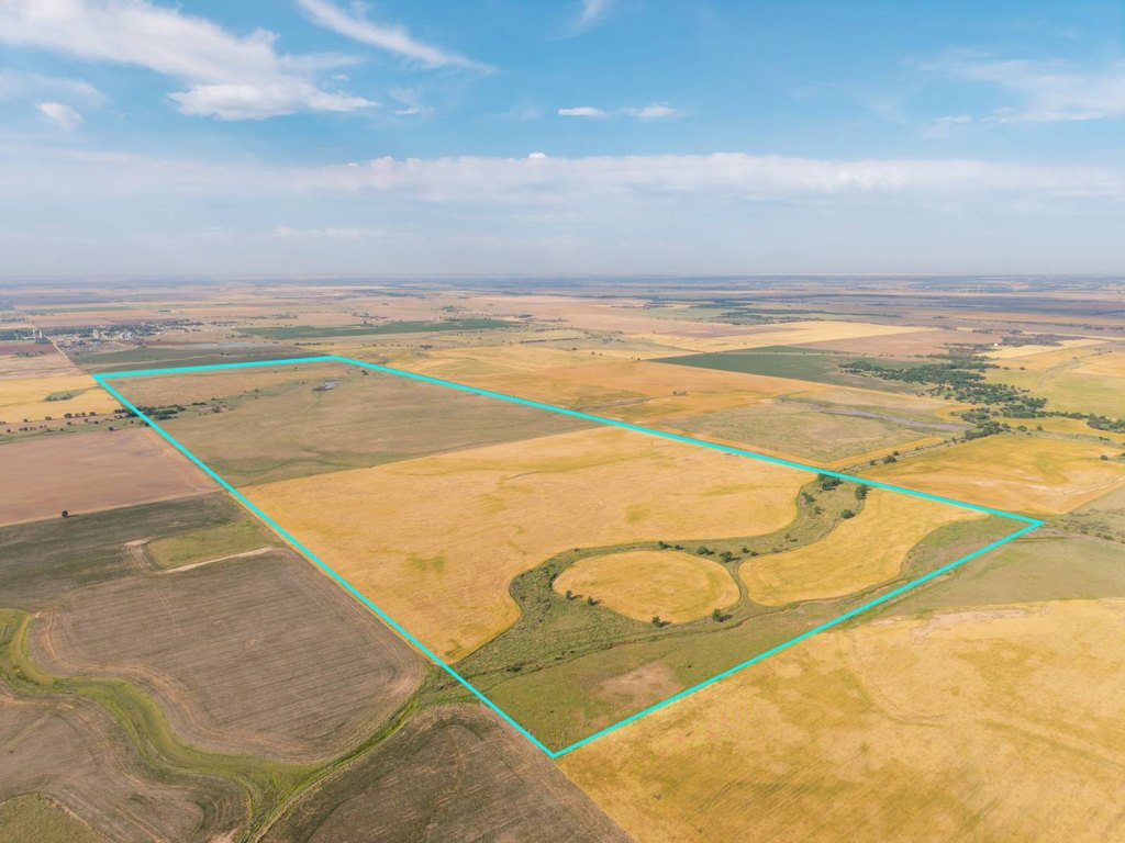
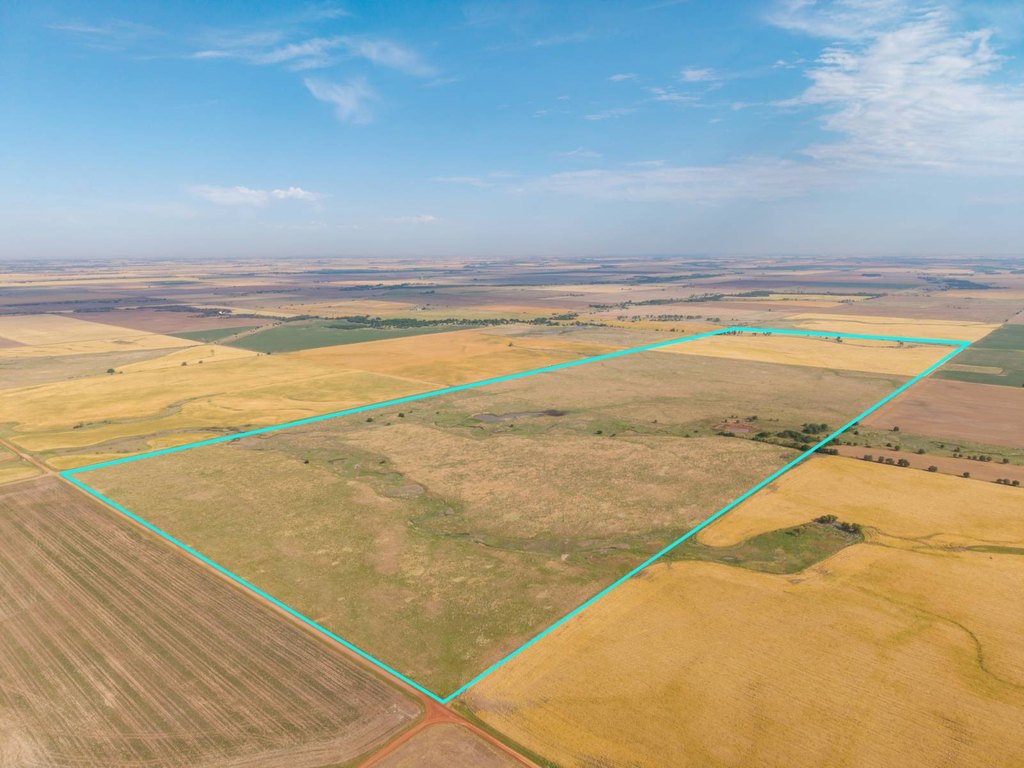
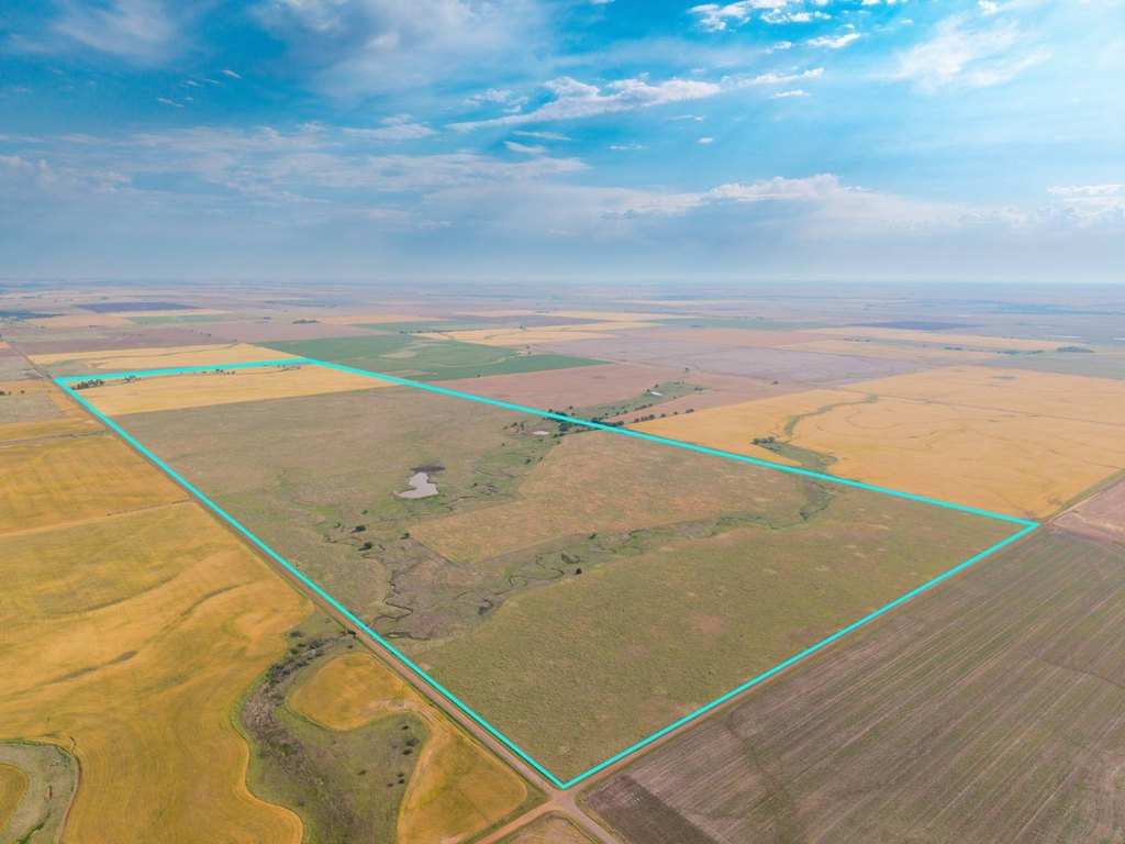
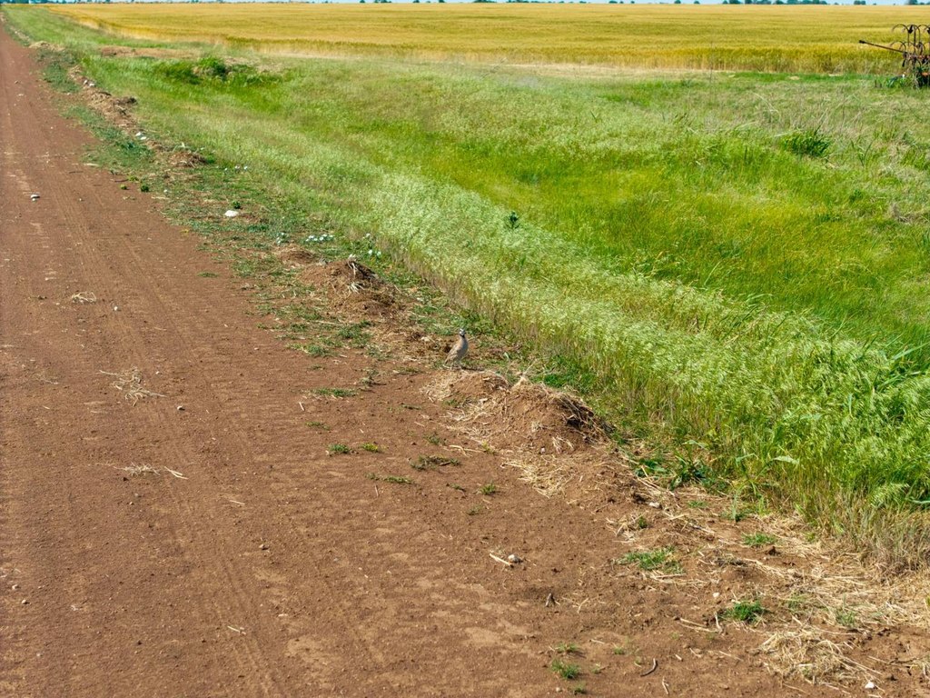
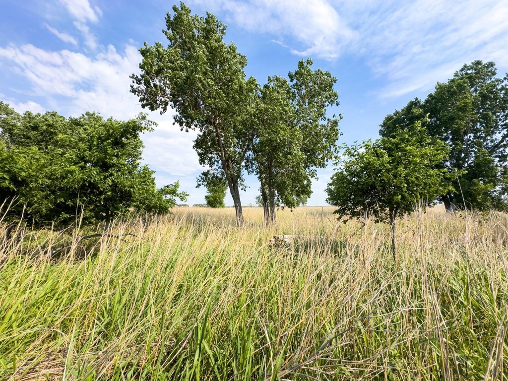
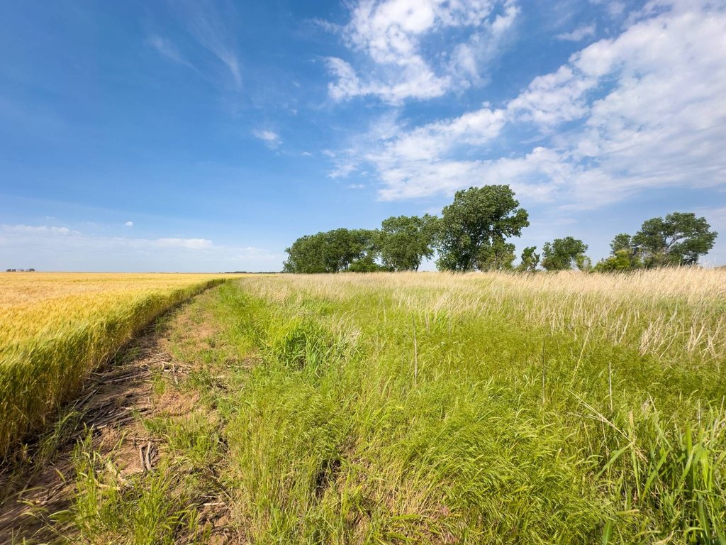
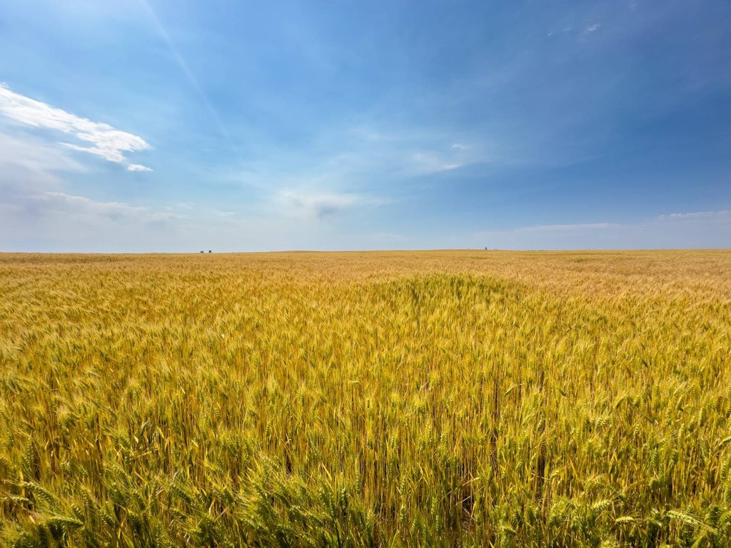
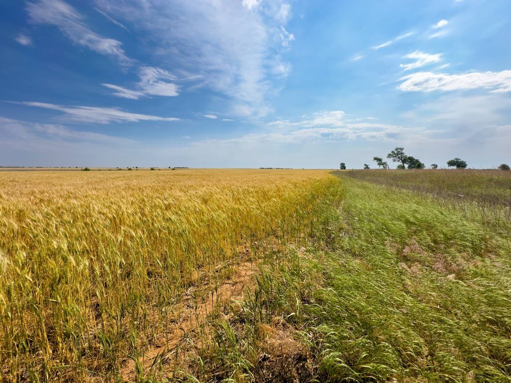
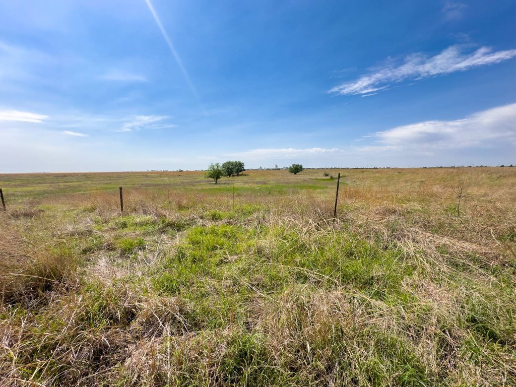
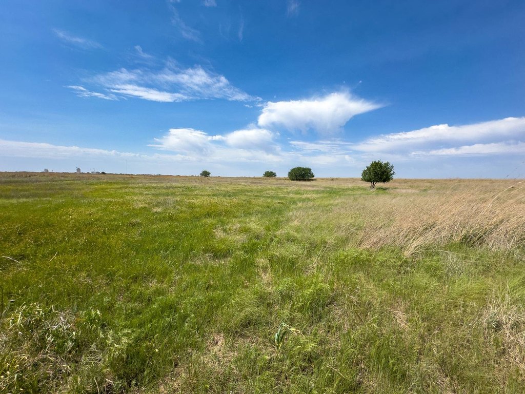
- 480+/- acre Grant County tract with a mix of productive farmland, cattle pasture, timber, creeks, and ponds
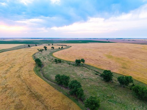
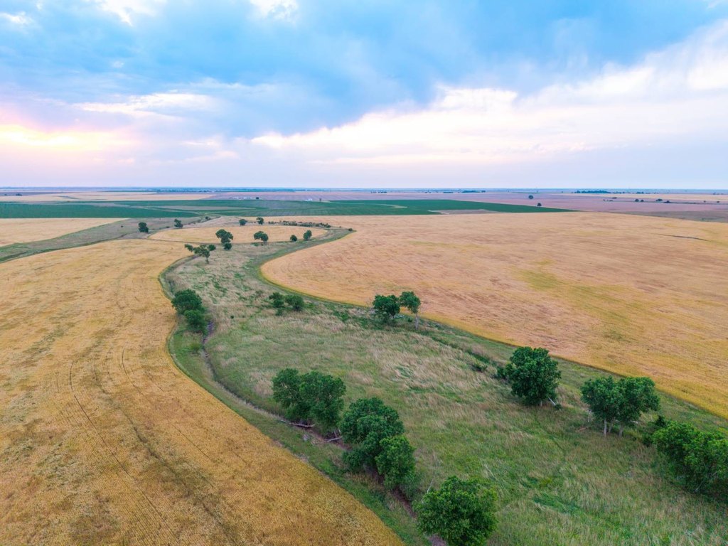
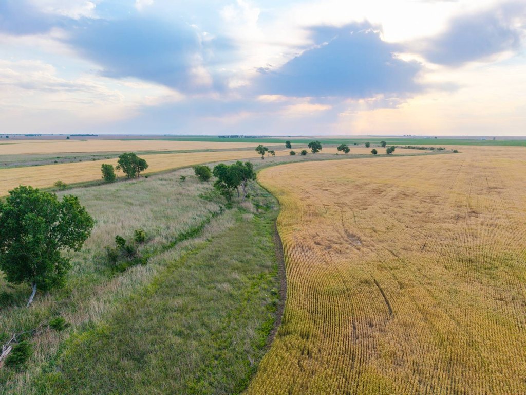
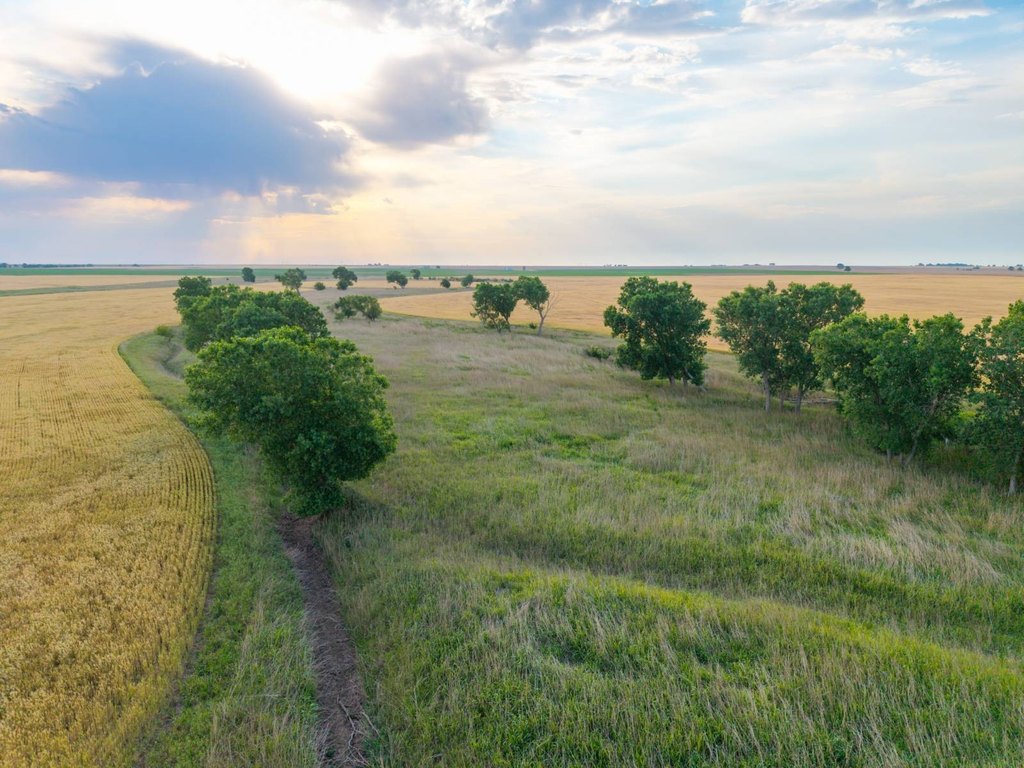
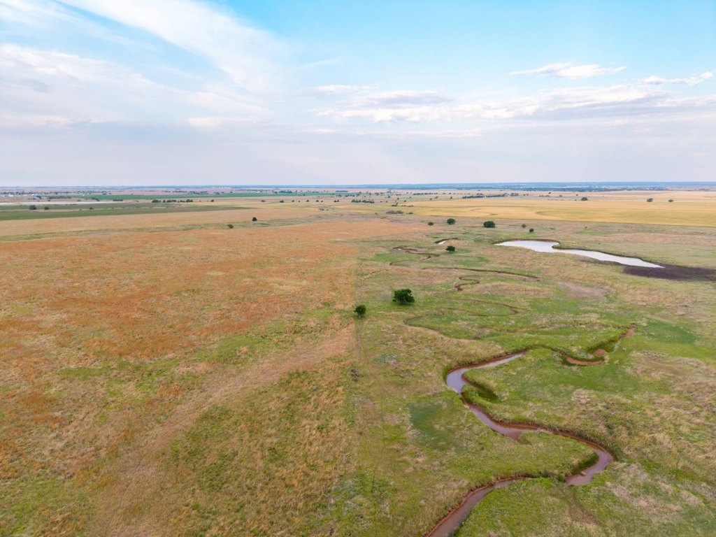
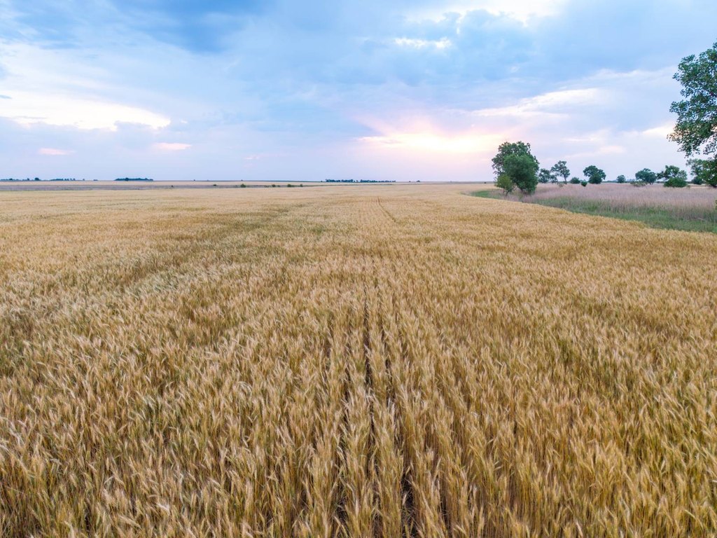
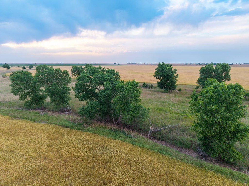
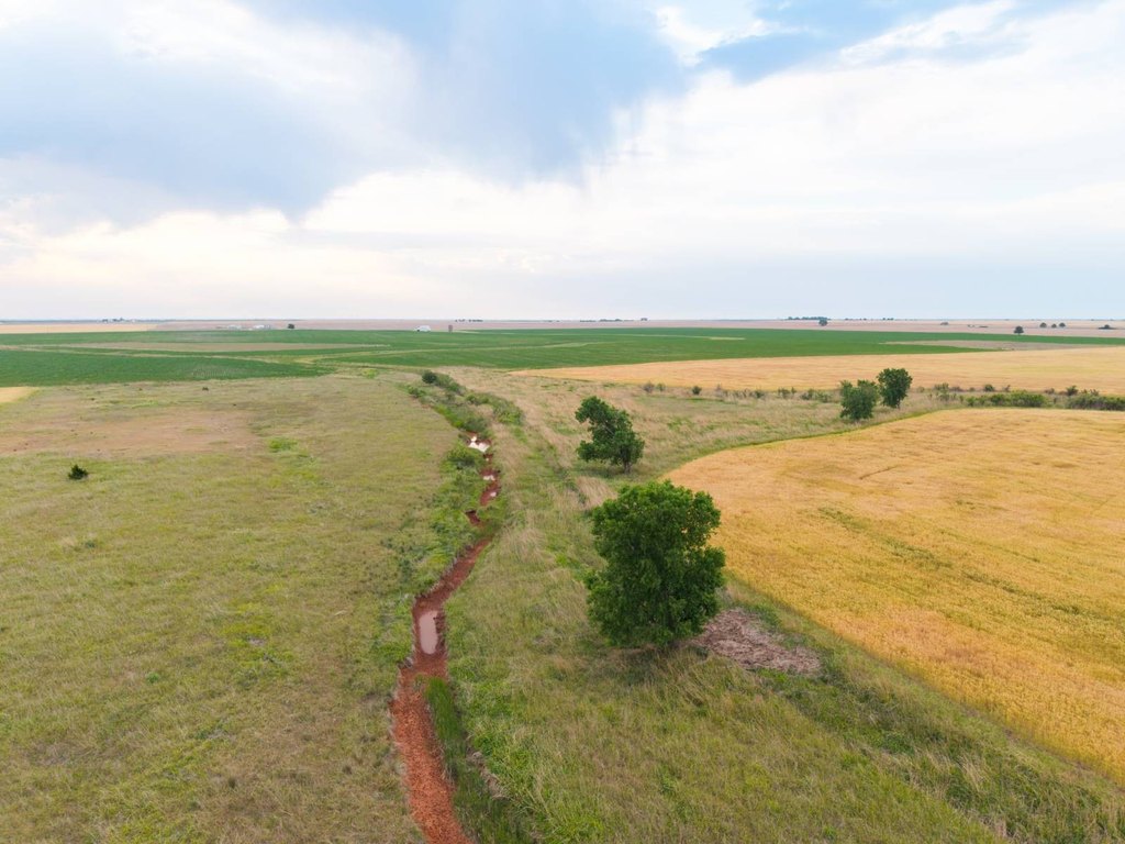
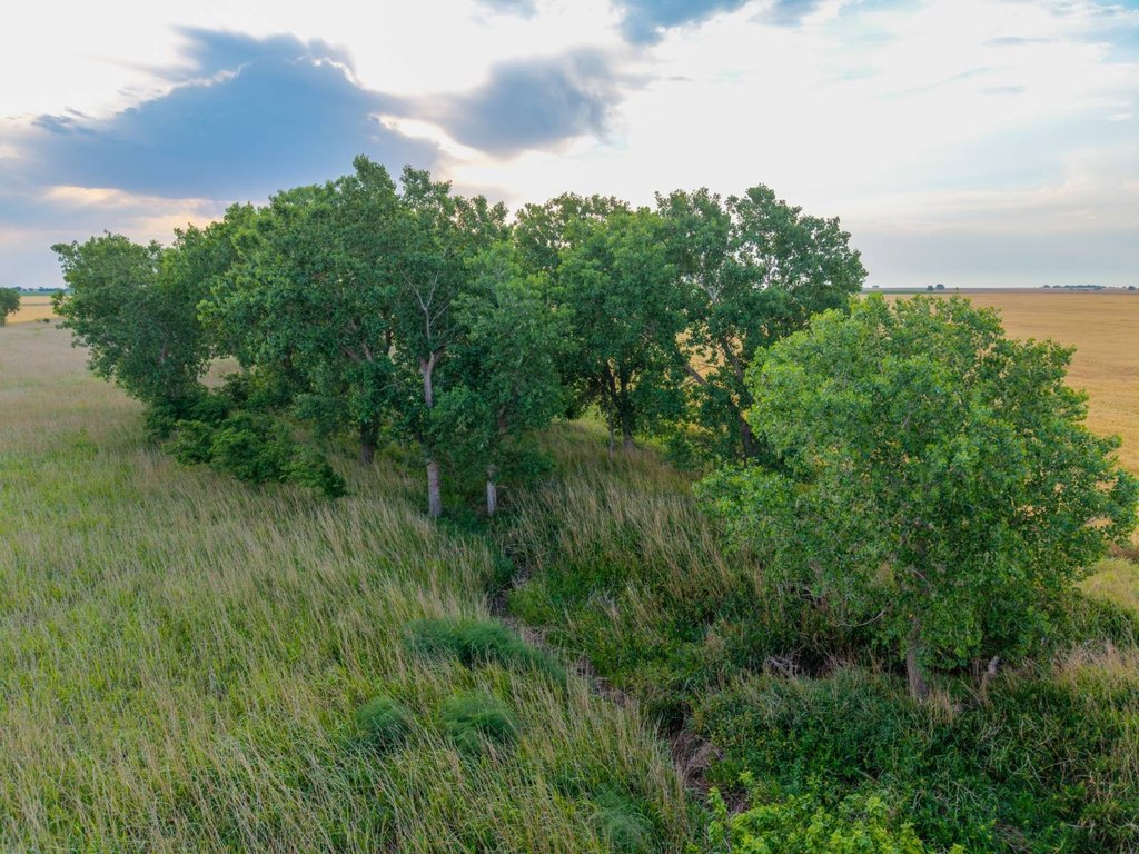
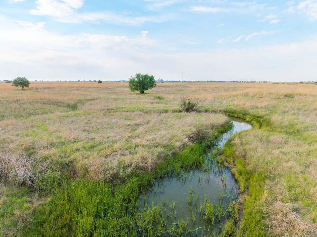
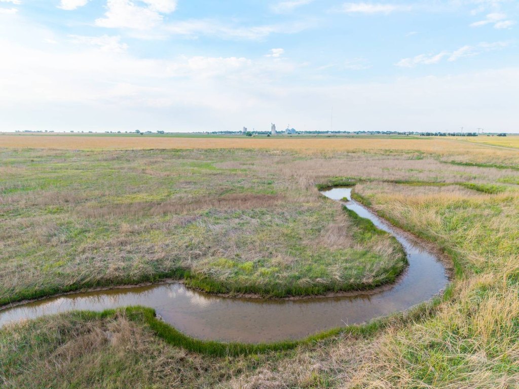
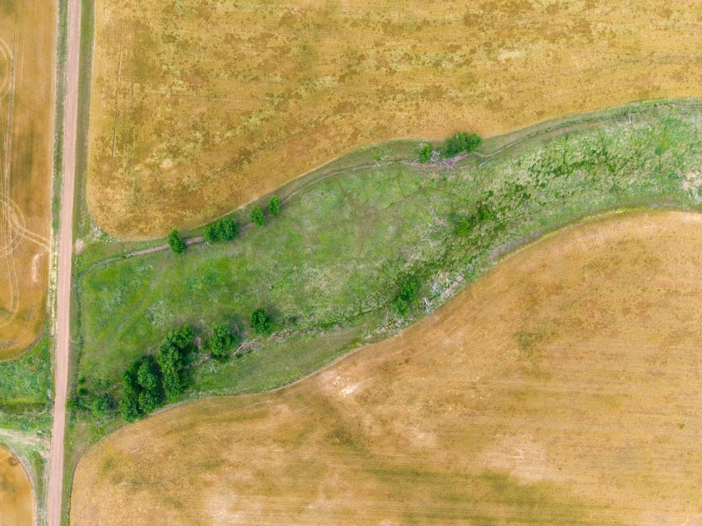
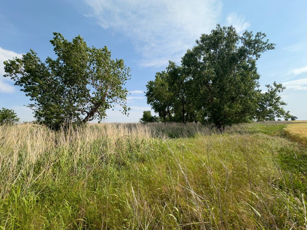
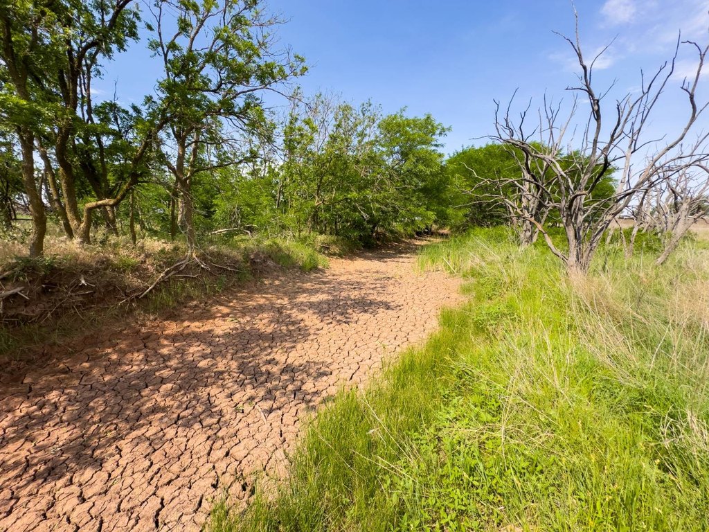
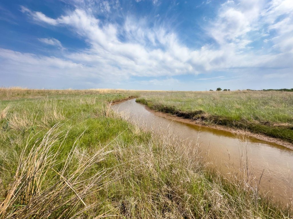
- North section features primarily tillable ground with a wet season creek and giant cottonwood‑lined banks
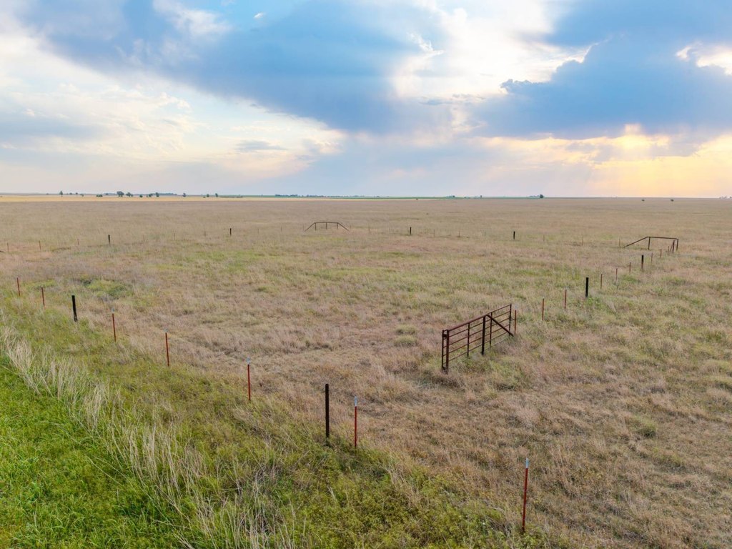
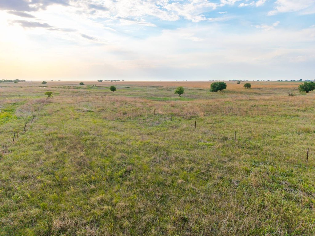
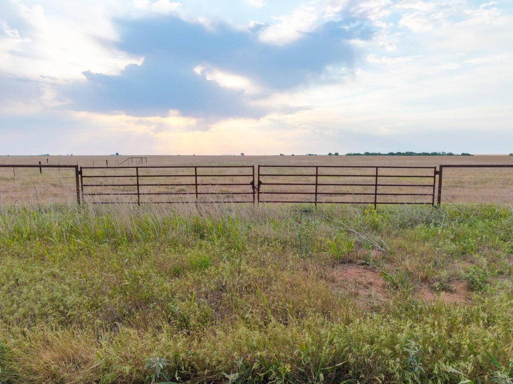
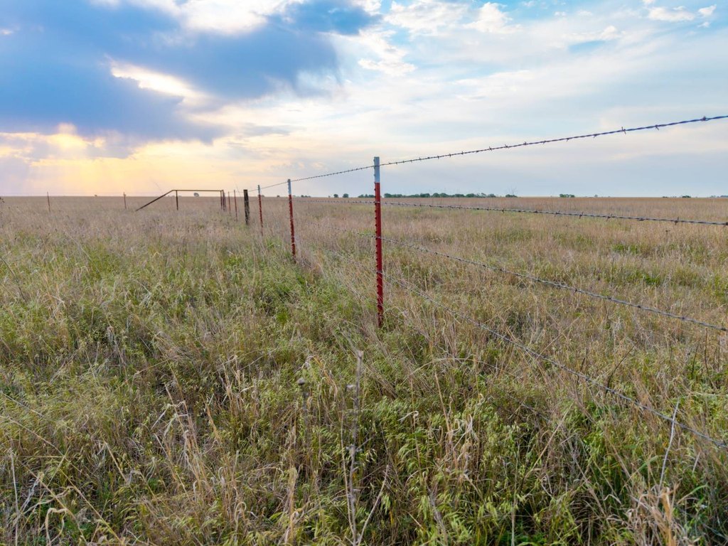
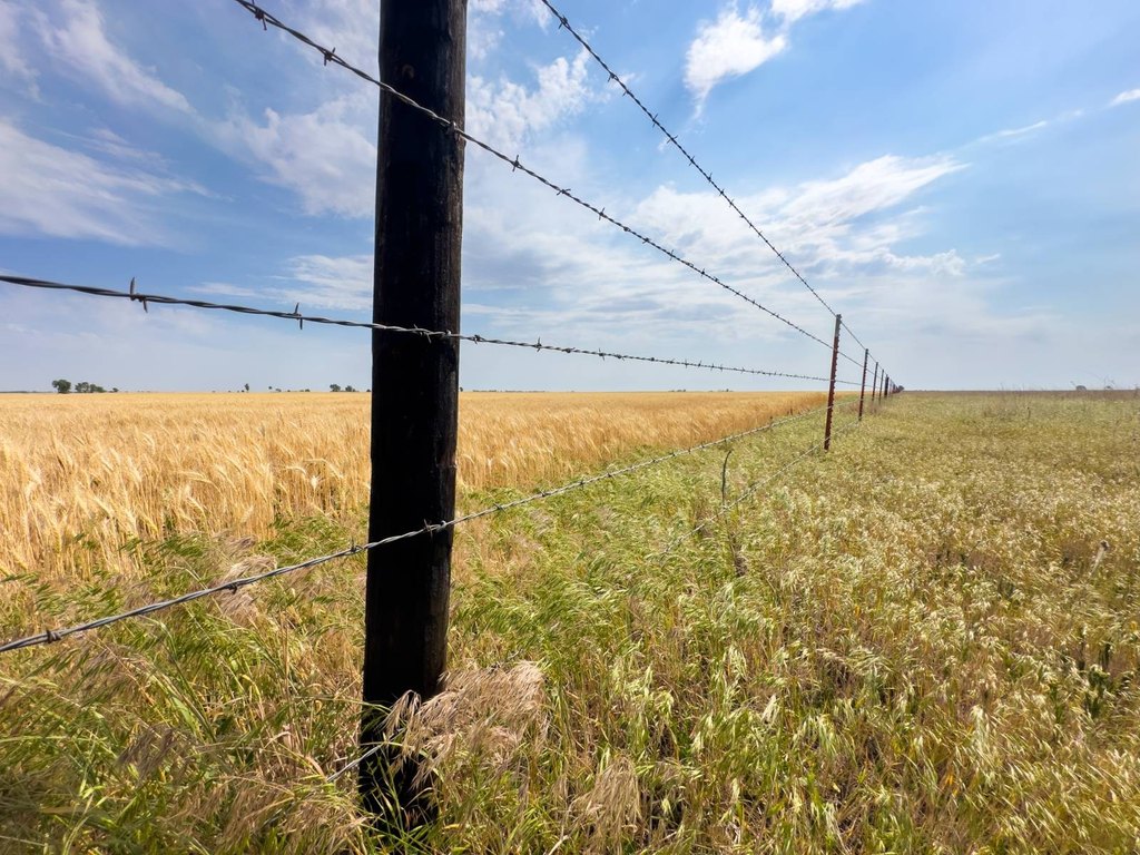
- Fully fenced middle section includes quality fencing plus a catch pen for livestock handling
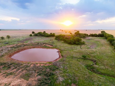
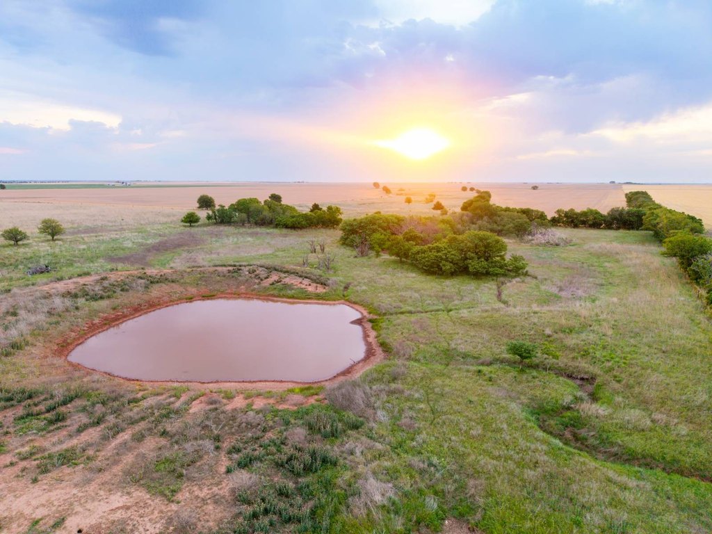
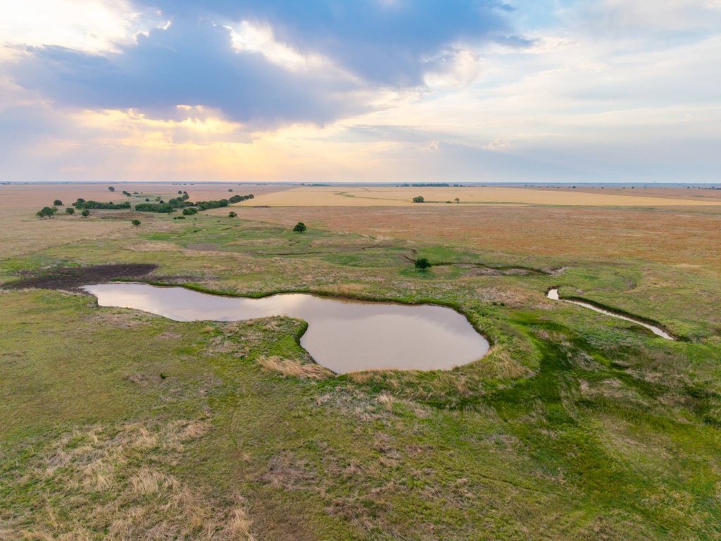
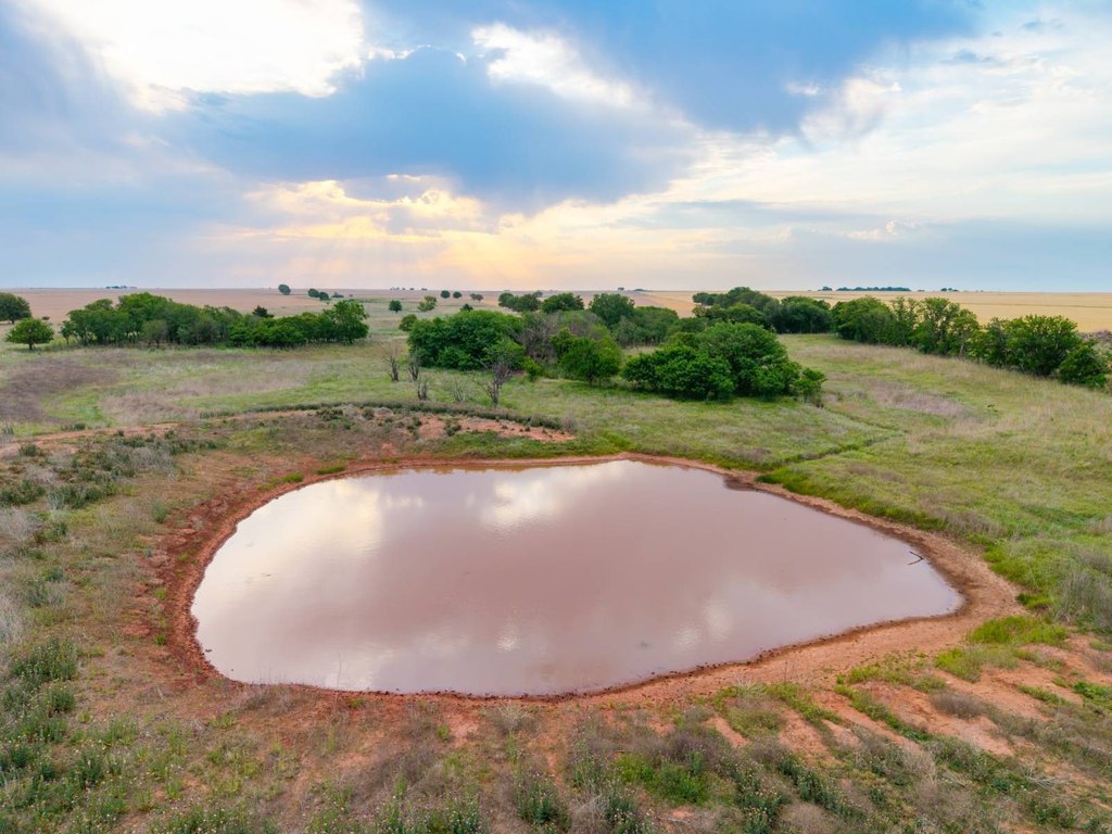
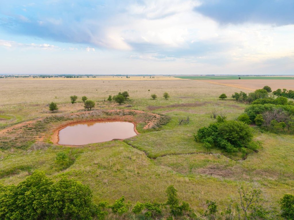
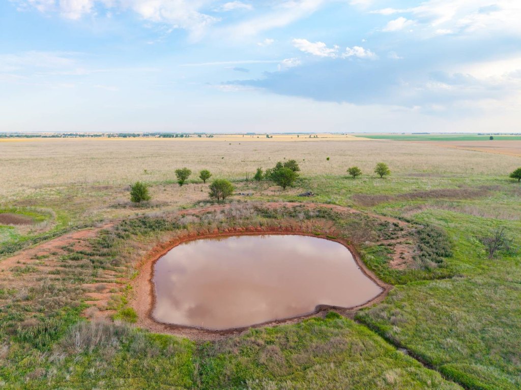
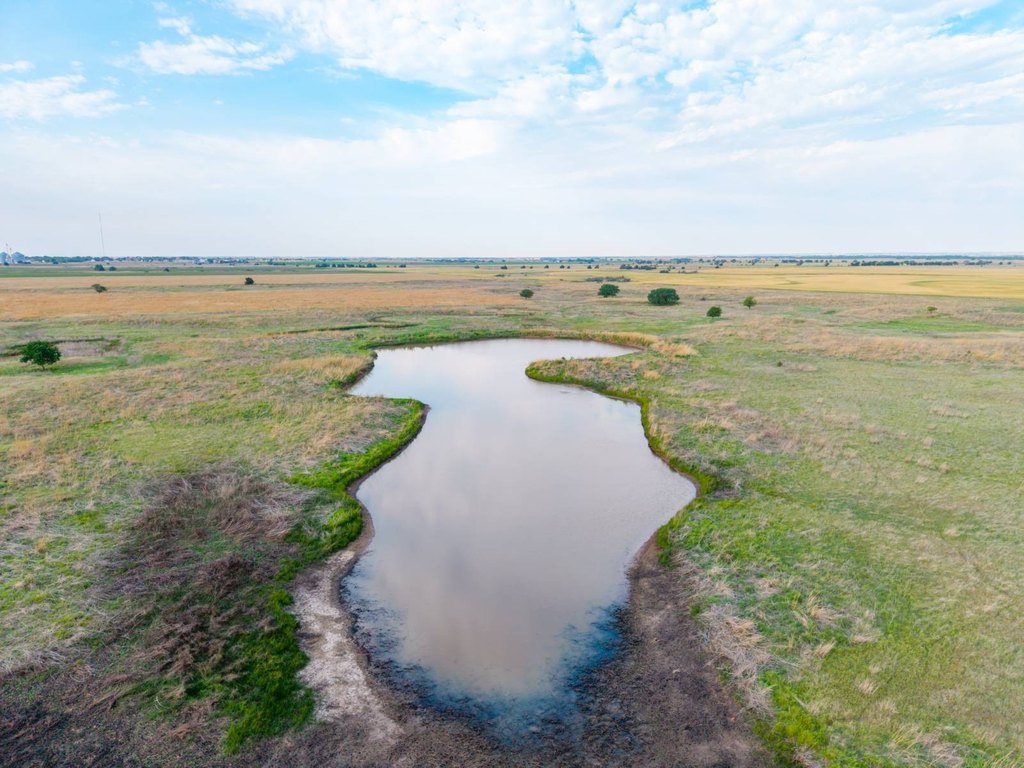
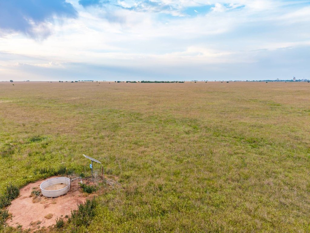
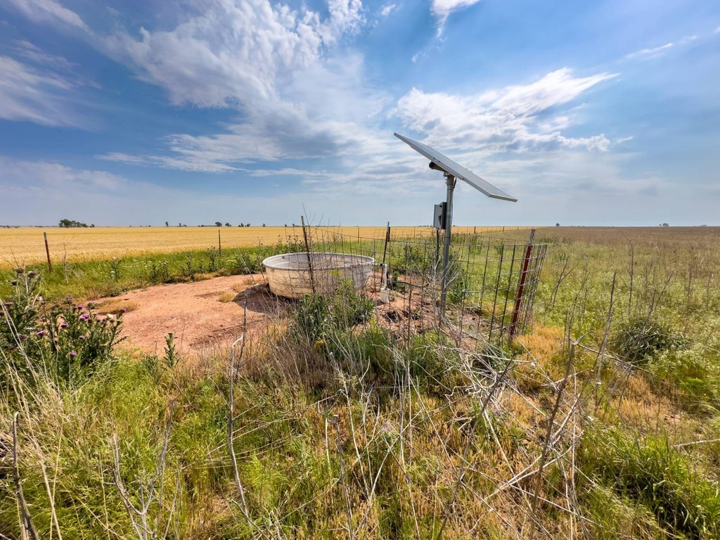
- Solar‑powered water well with a pond provides year‑round water for livestock and wildlife
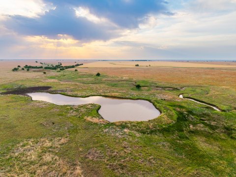
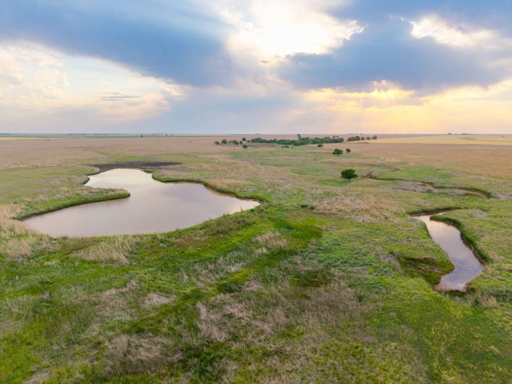
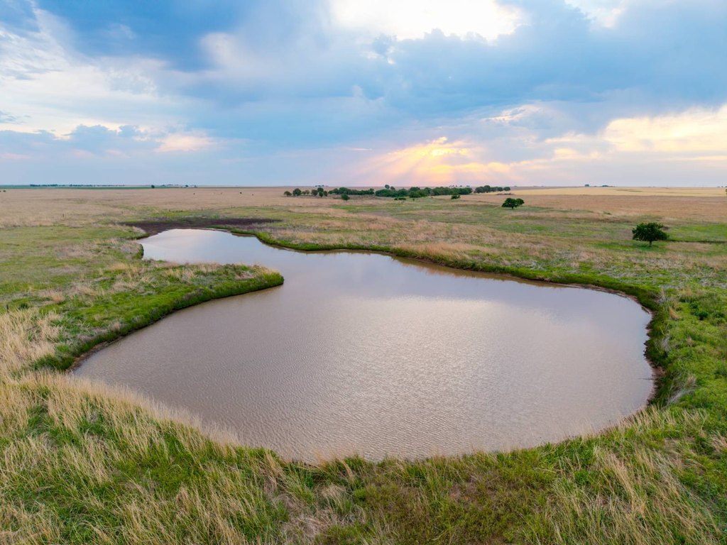
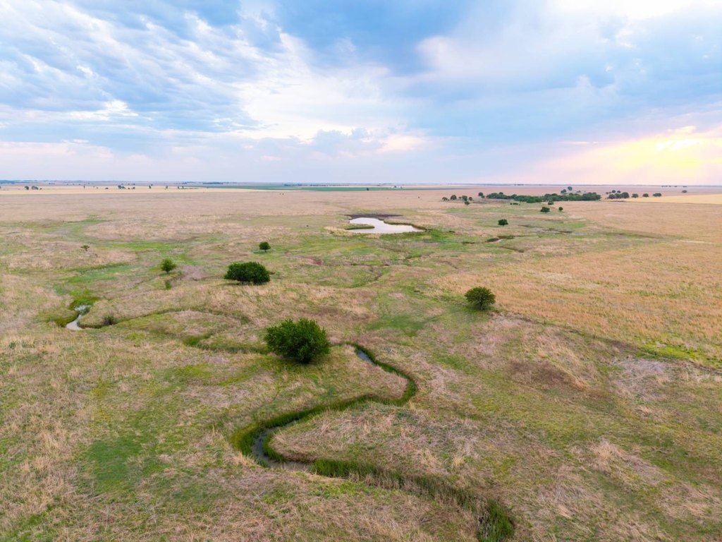
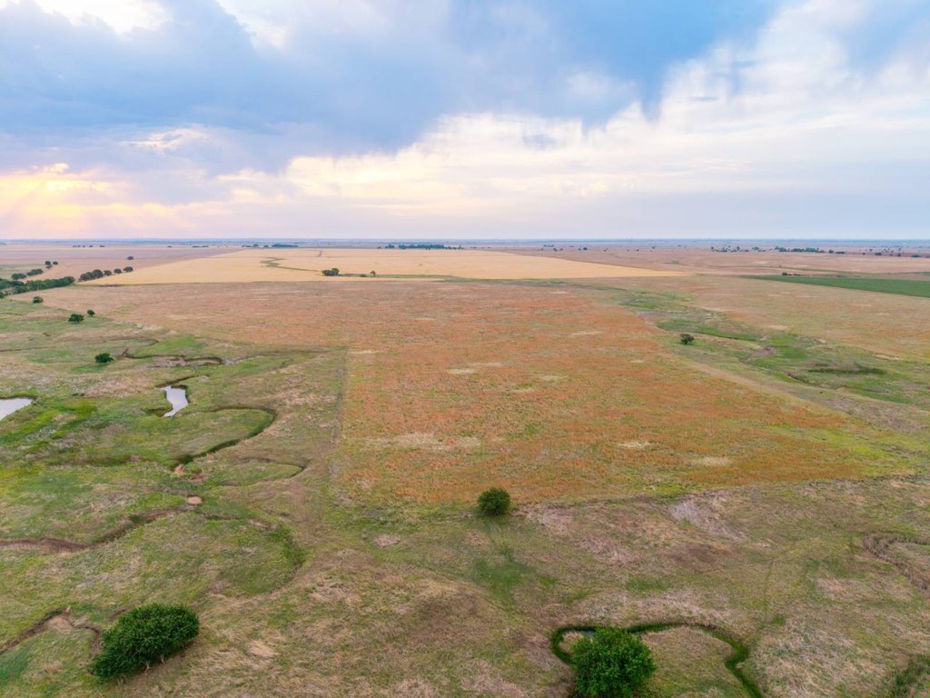
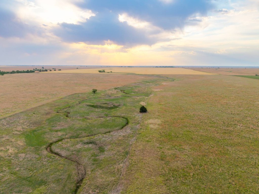
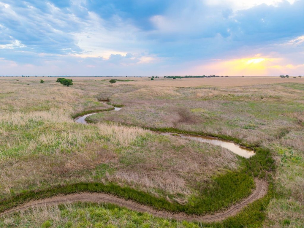
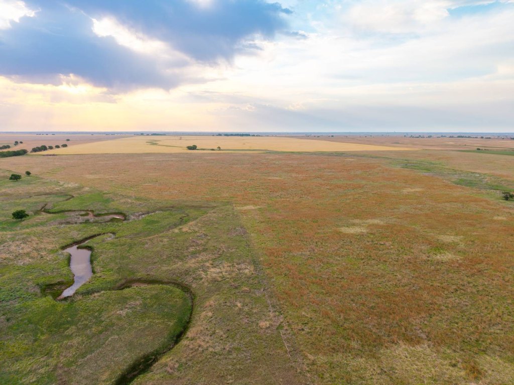
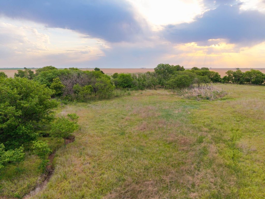
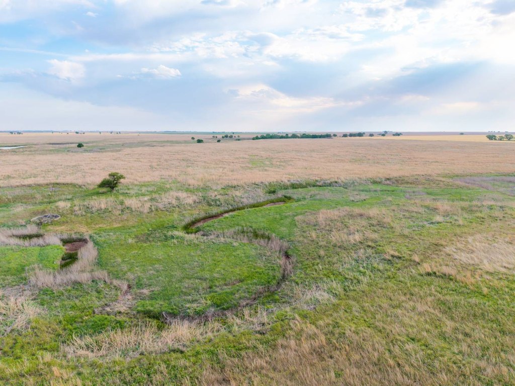
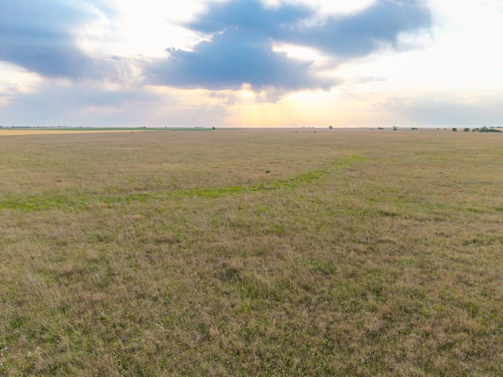
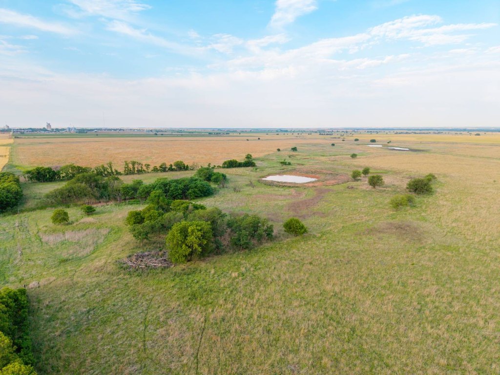
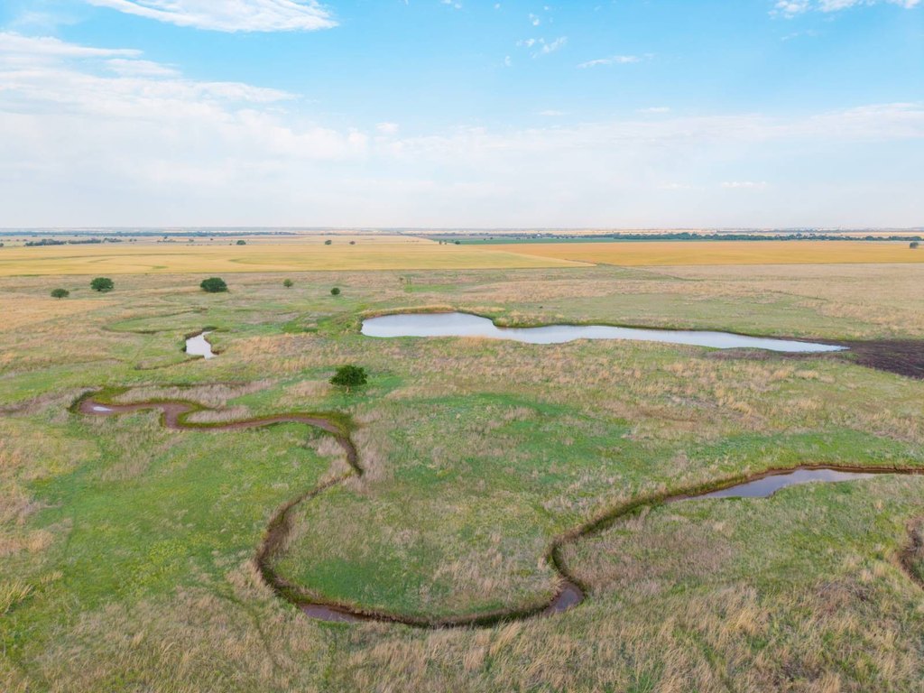
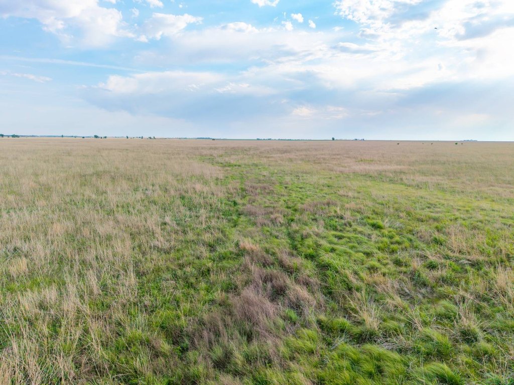
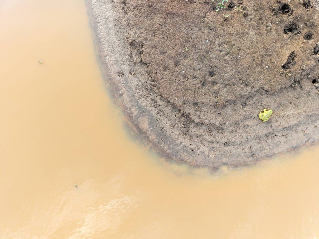
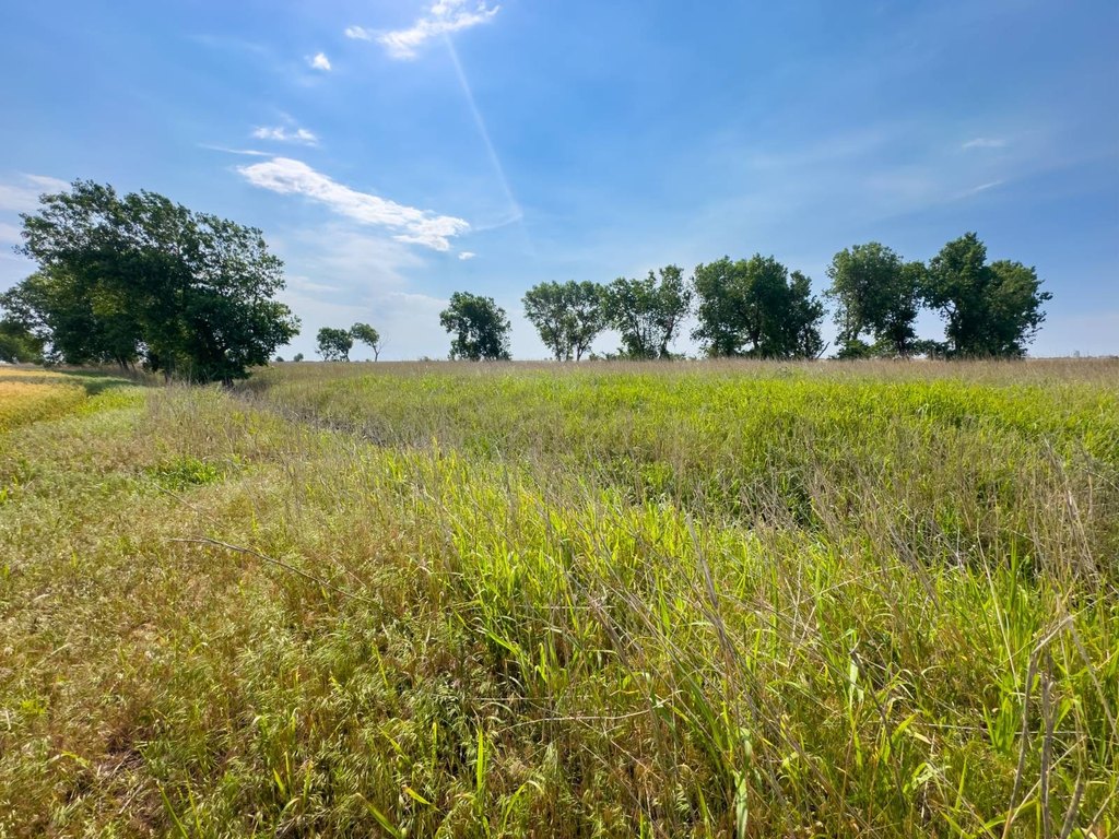
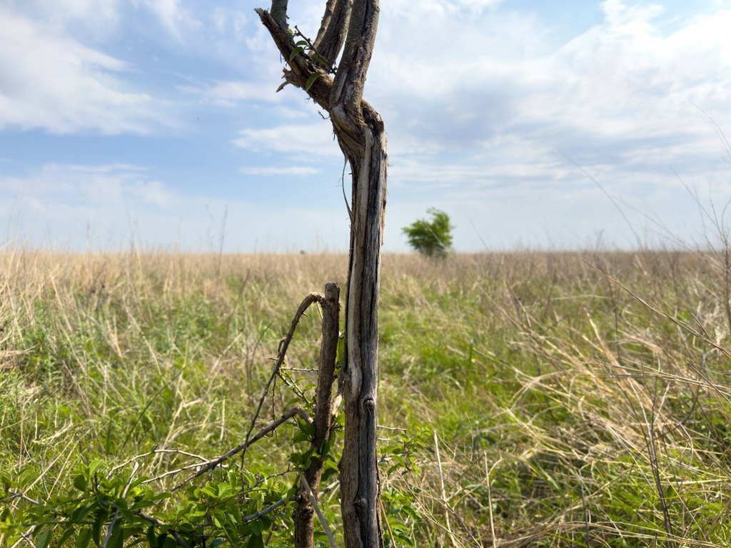
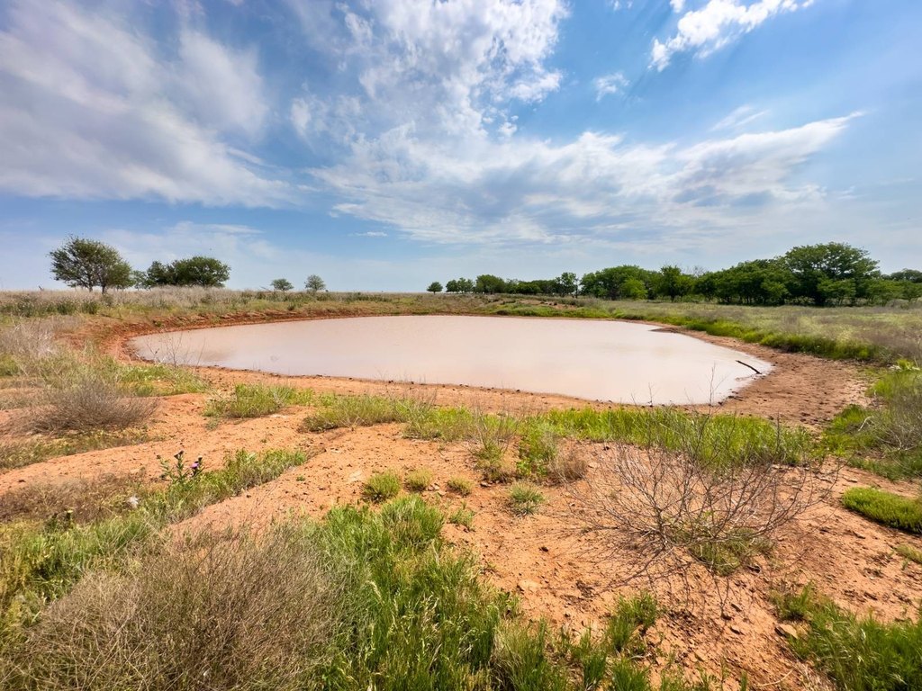
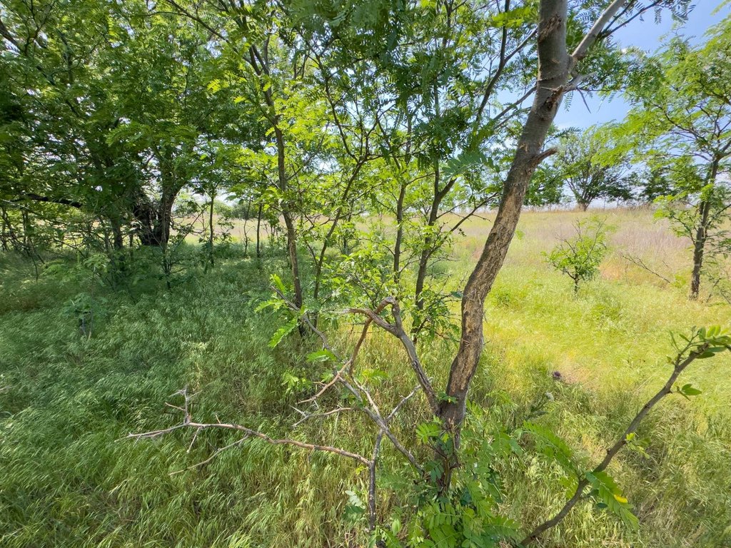
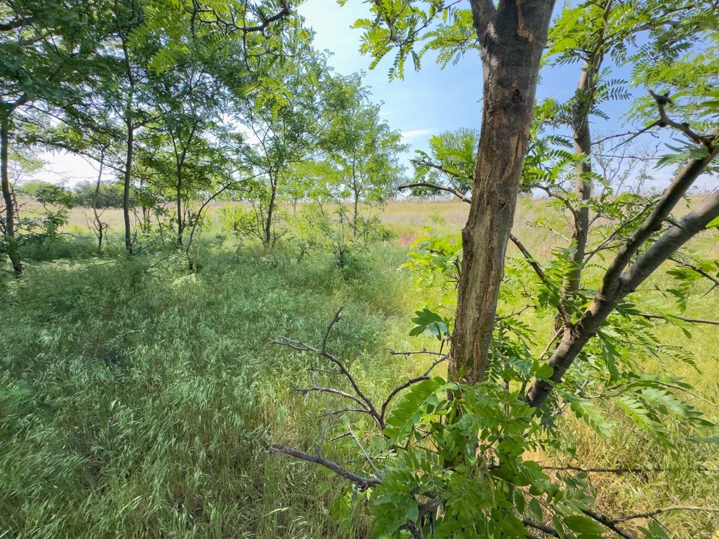
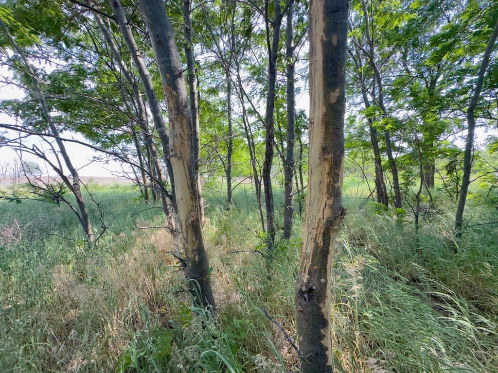
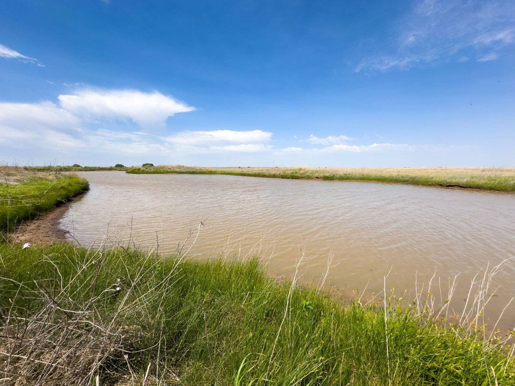
- Southern tract includes multiple wet season creek fingers, a 1.15+/- acre pond, thick draws, and native grasses
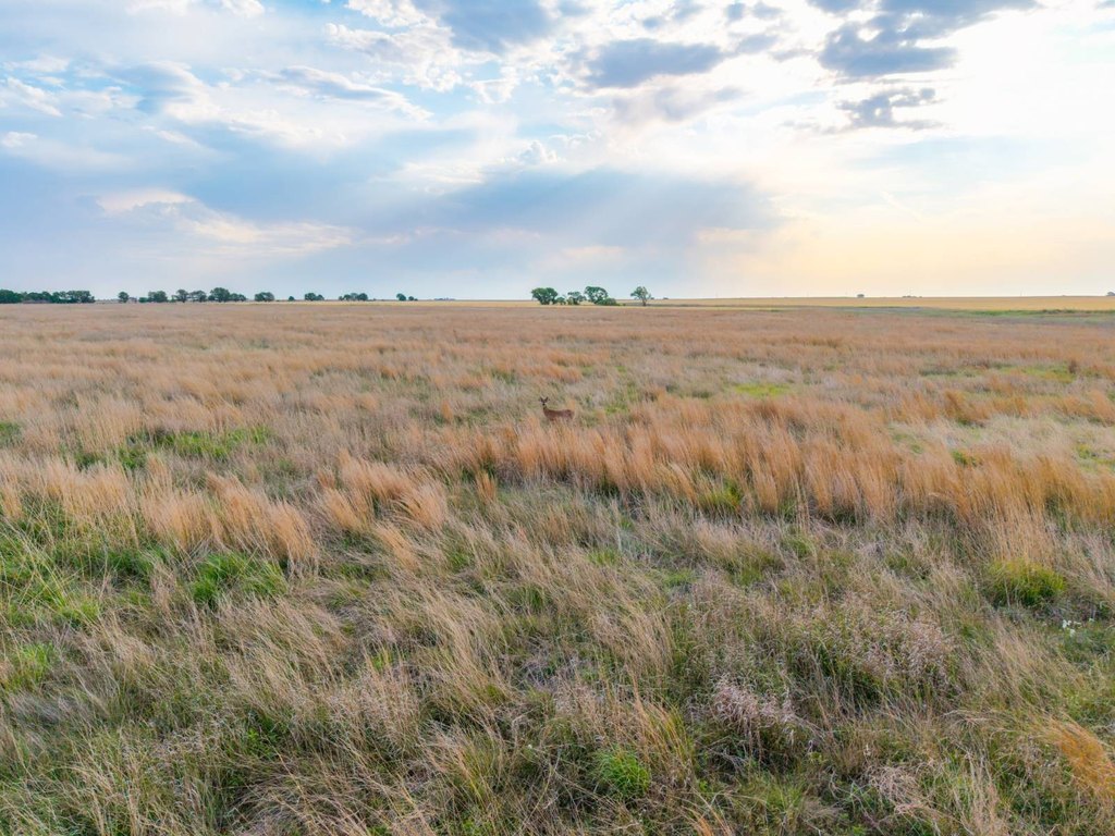
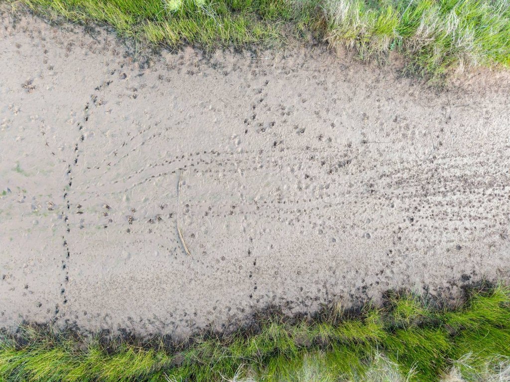
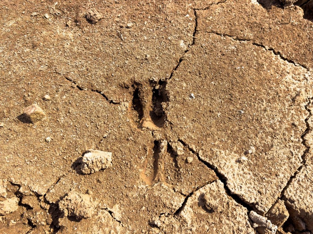
- Hunting/wildlife habitat noted with whitetail activity plus observations of deer, ducks, and quail; pheasants heard
Overview
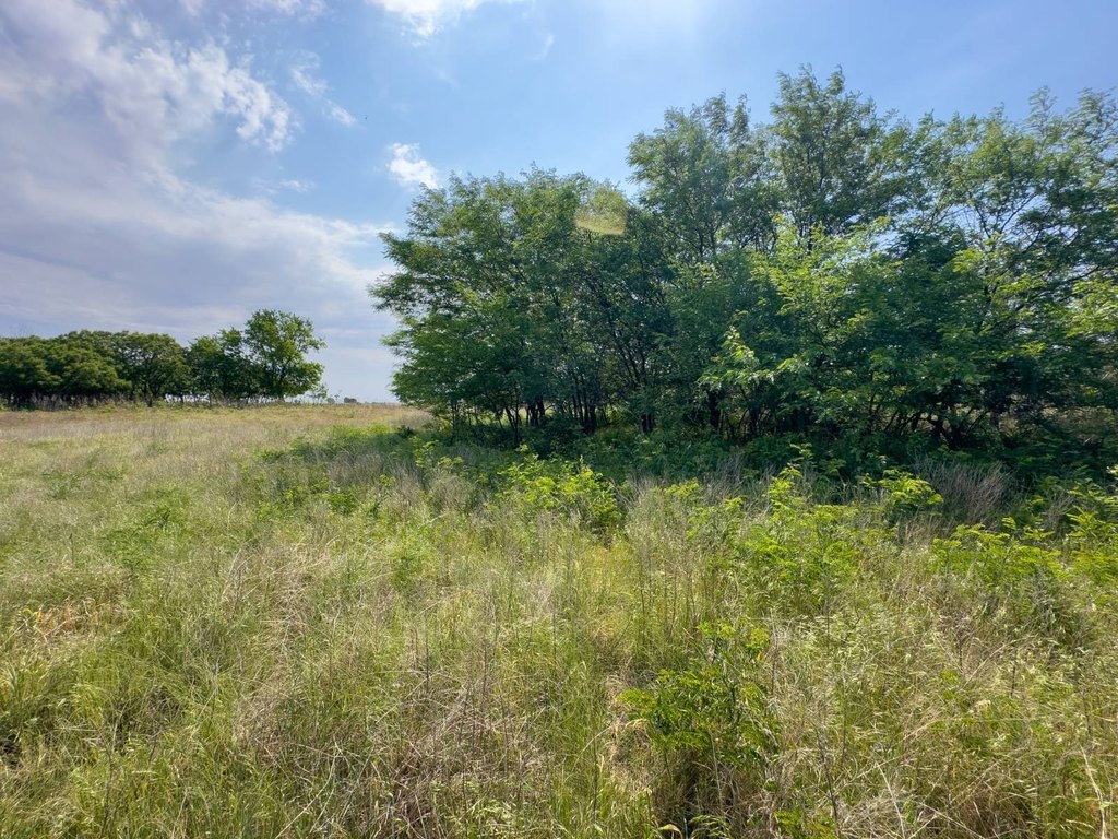
Natural water and cover features continue through the southern portion, including multiple fingers of the wet-season creek, a 1.15+/- acre pond, tall native grasses, and thick draws that help create bedding and travel corridors for wildlife. A variety of habitat elements are present across the property, and boundary lines shown are approximate; buyers are advised to obtain an independent survey to confirm exact boundaries. The tract is located about 1+/- mile north of Wakita, 17+/- miles northwest of Medford, 24+/- miles northwest of Pond Creek, and 27+/- miles south of Anthony, Kansas. All showings are by appointment only.
With tillable ground, fenced pasture, livestock water infrastructure, and timber and creek habitat, the property may appeal to operators seeking a working cattle and pasture setup as well as buyers looking for diversified recreational ground. The combination of water, cover, and natural food sources is supported by on-site wildlife observations reported by the seller, including deer and upland birds.
Current Use by Public Records
Map
- City
- Wakita
- County
- Grant
- State
- Oklahoma
- Longitude
- -97.929655
- Latitude
- 36.884309