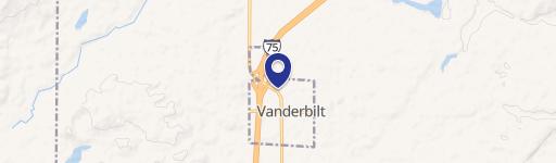
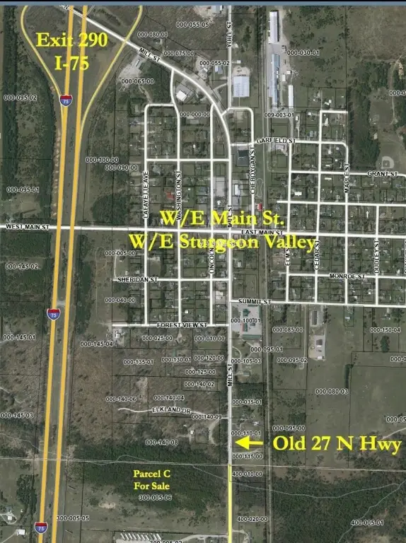
Parcel C Old 27 N Highway, Vanderbilt, MI 49795
LAND - Vanderbilt, MI
- Added:
- May 21, 2026
- Days on Market:
- 47
- Last Refresh:
- Jul 6 at 2:06 pm
Property Features for Parcel C Old 27 N Highway
General Information
- Property type
- Land
- Property subtype
- Other
- Zoning
- B-2
- Standard status
- Active
- APN
- 042-027-300-005-06
- Lot size
- 29.70 Acres
Taxes and HOA fees
- Tax Year
- 2025
- Tax Description
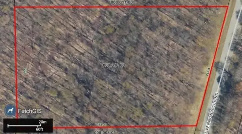
- Parcel C, com @ S 1/4 Cor, N00o03'24''W, 1849.2' alg N/S 1/4 Line to POB, N88o13'32''W, 1678.24', N03o22'07''E, 783.21', S88o9'06''E, 1631.49' Alg E/W 1/4 Line to Center 1/4 Cor, S00o3'24''E, 781.2' Alg N/S 1/4 Line to POB, Sec 27, T32N-R3W.
- Tax Annual Amount
- 689
Utilities
- Water front
- 1
Listing agent Michael E. Heath (989) 619-0400
Listing office COLDWELL BANKER SCHMIDT GAYLORD 700 W Main St., Gaylord, MI (989) 732-6777
Listing date May 21, 2026
Copyright © 2026 Water Wonderland Board of Realtors®. All rights reserved. All information provided by the listing agent/broker is deemed reliable but is not guaranteed and should be independently verified.
HighLights
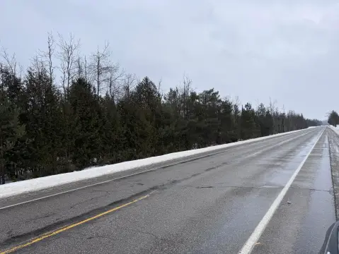
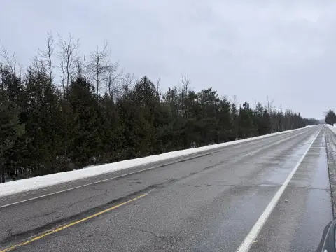
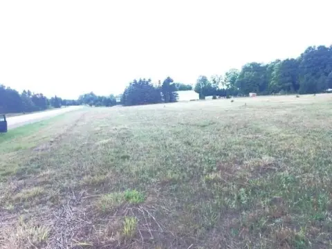
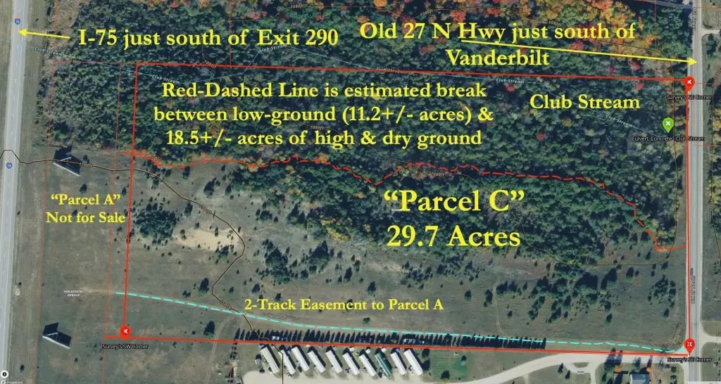
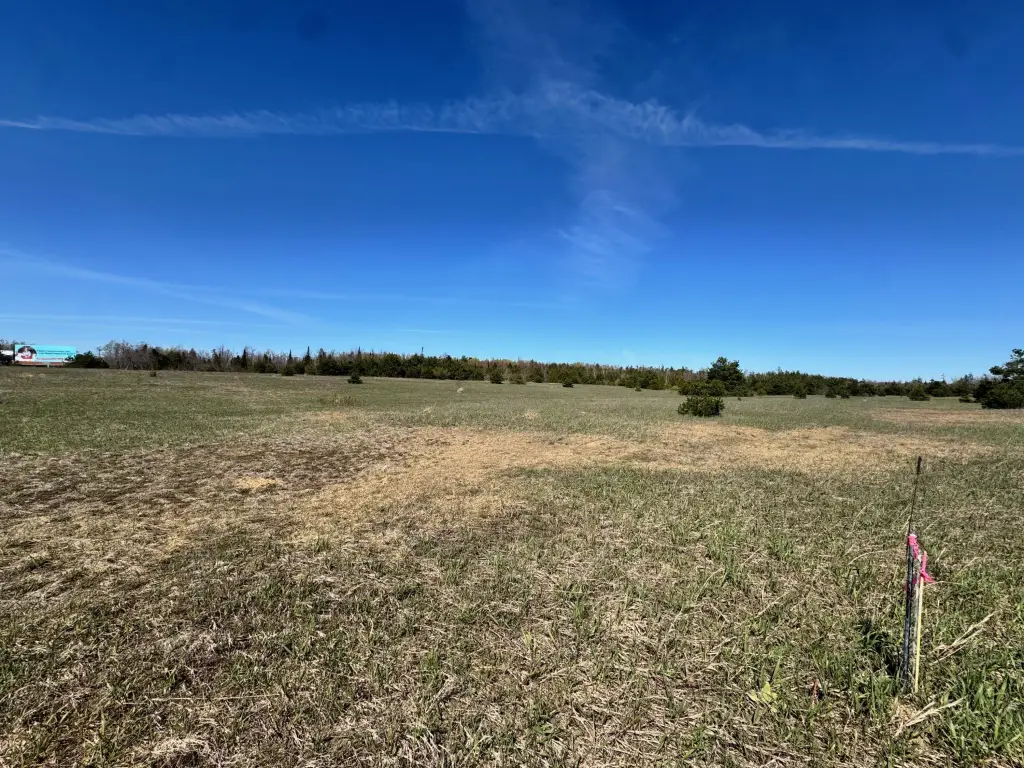
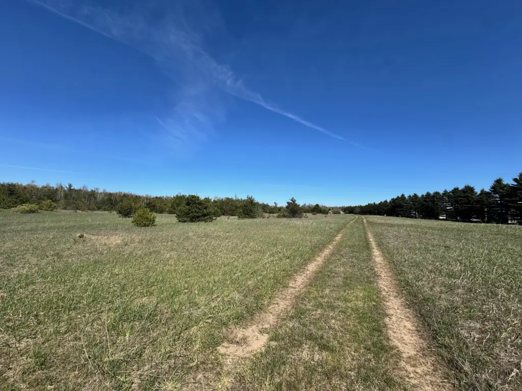
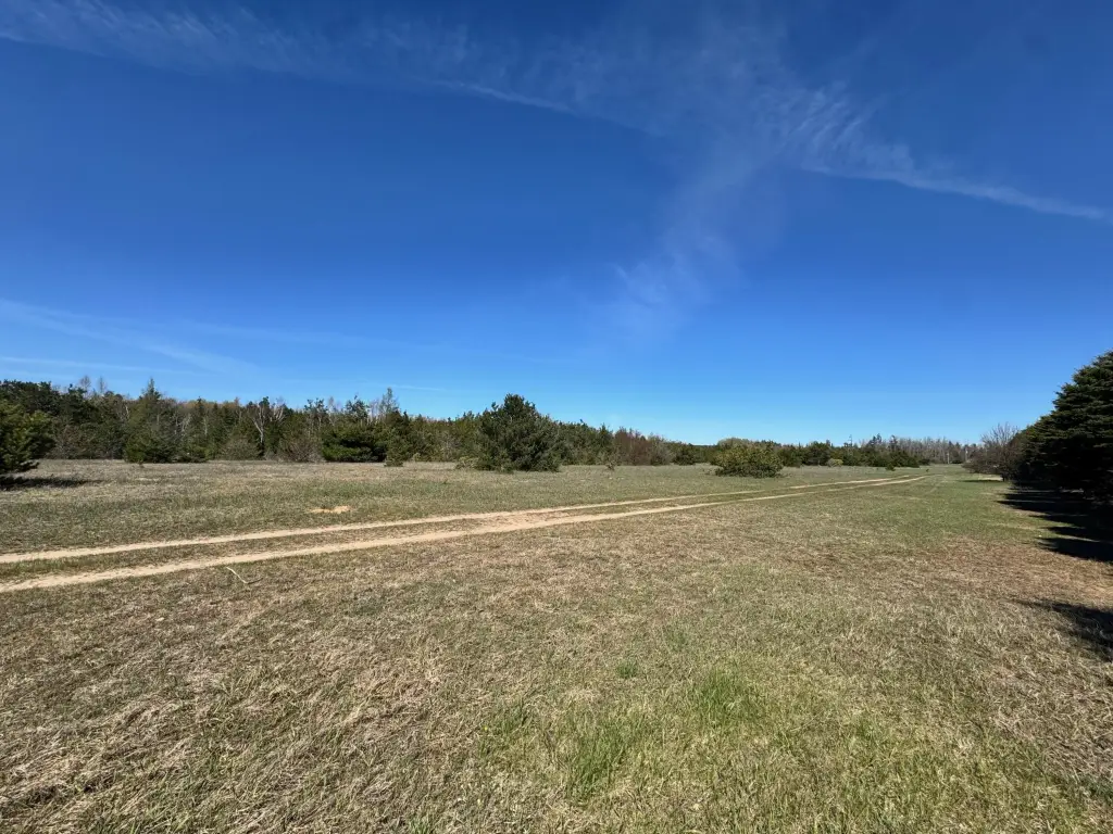
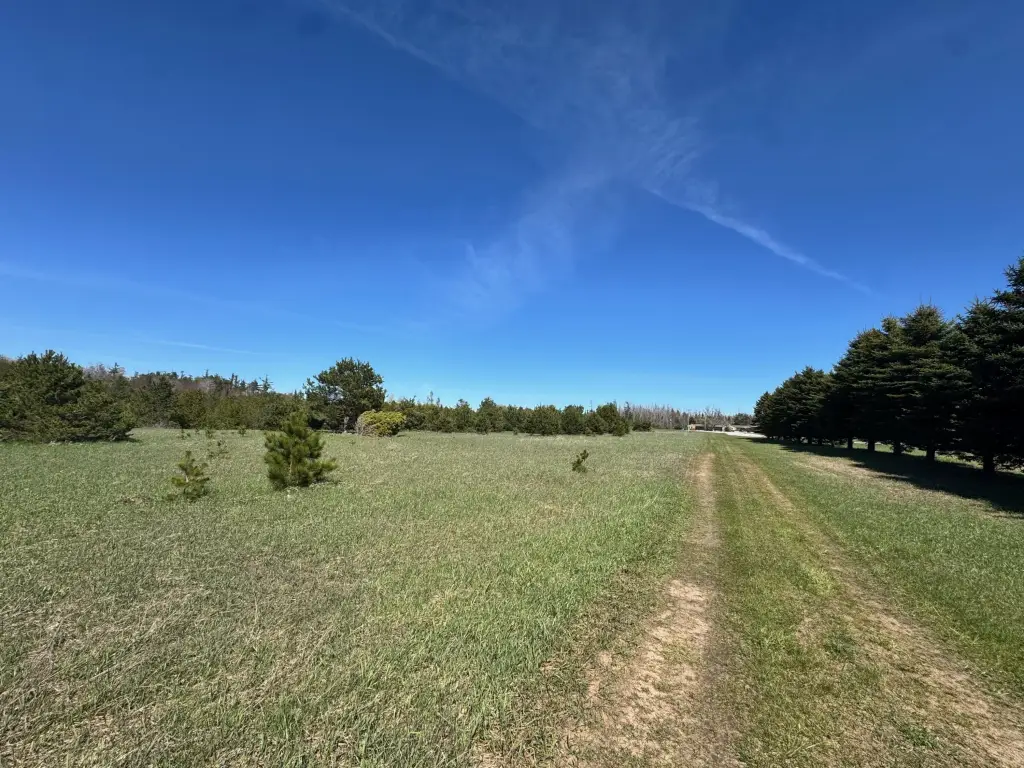
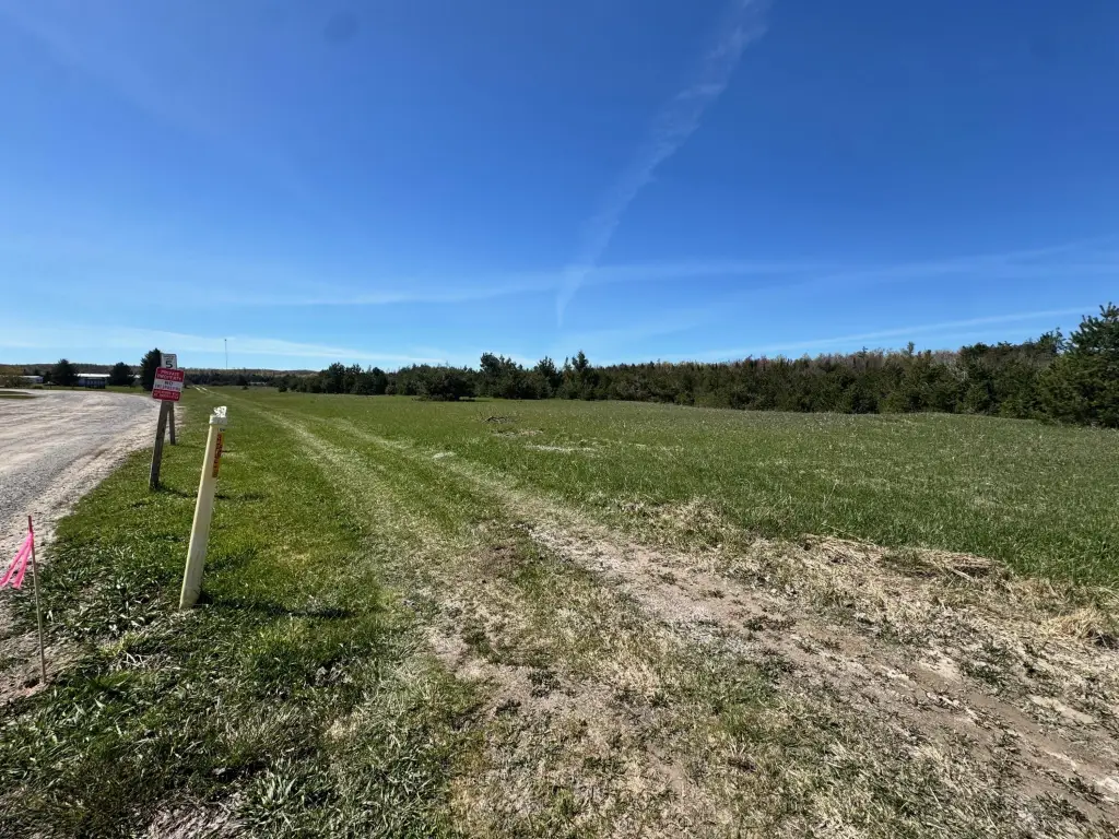
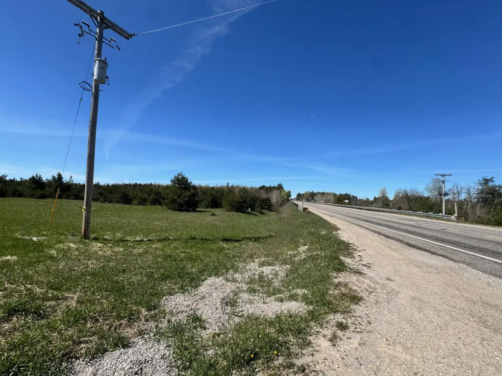
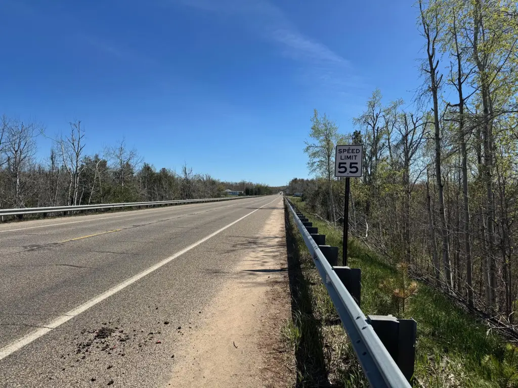
- 29.7‑acre B‑2 zoned commercial property in the Vanderbilt area
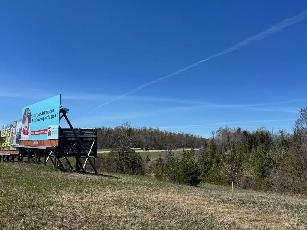
- Frontage on Old 27 N Hwy; sign visibility noted from I‑75
- MDOT '24 traffic counts: 3,919/day on Old 27 and 16,520/day on I‑75
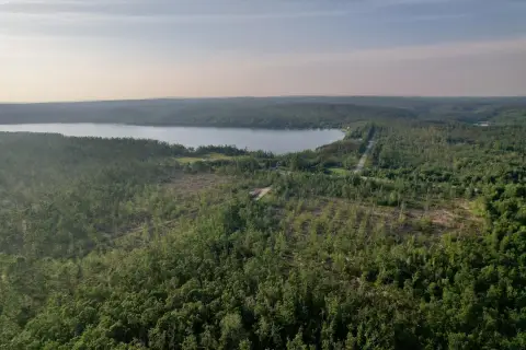
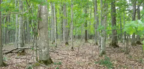
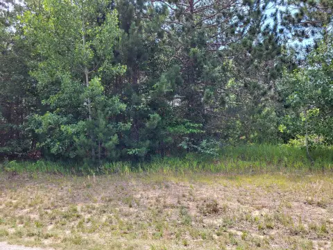
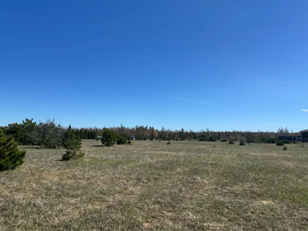
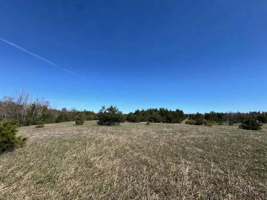
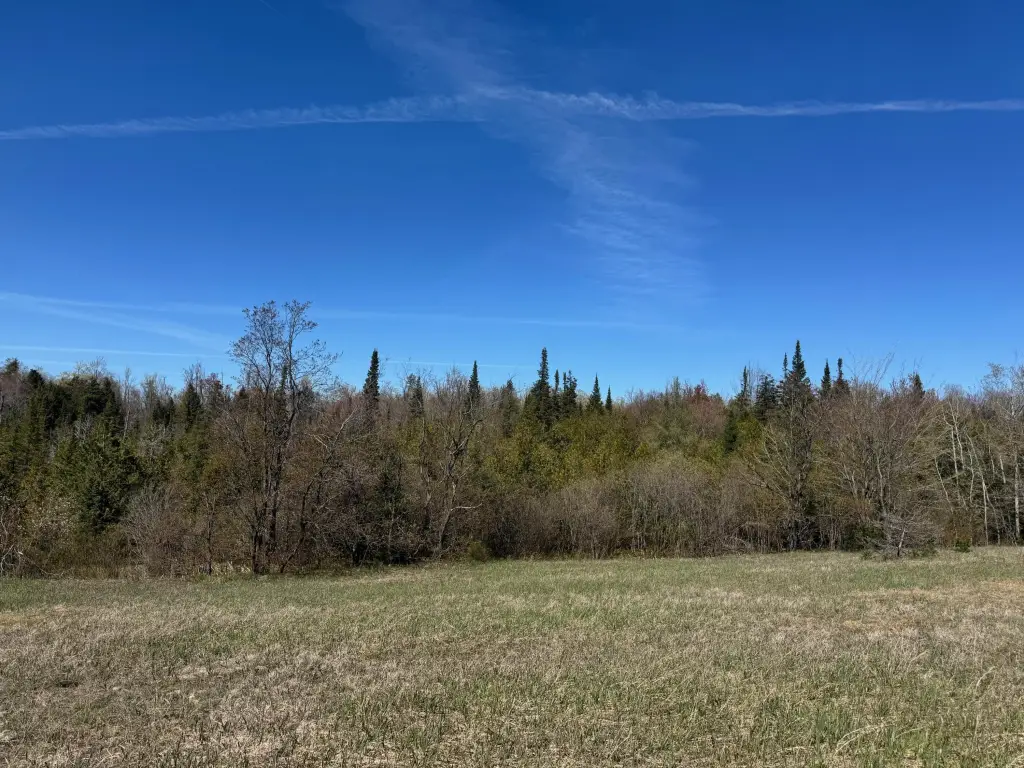
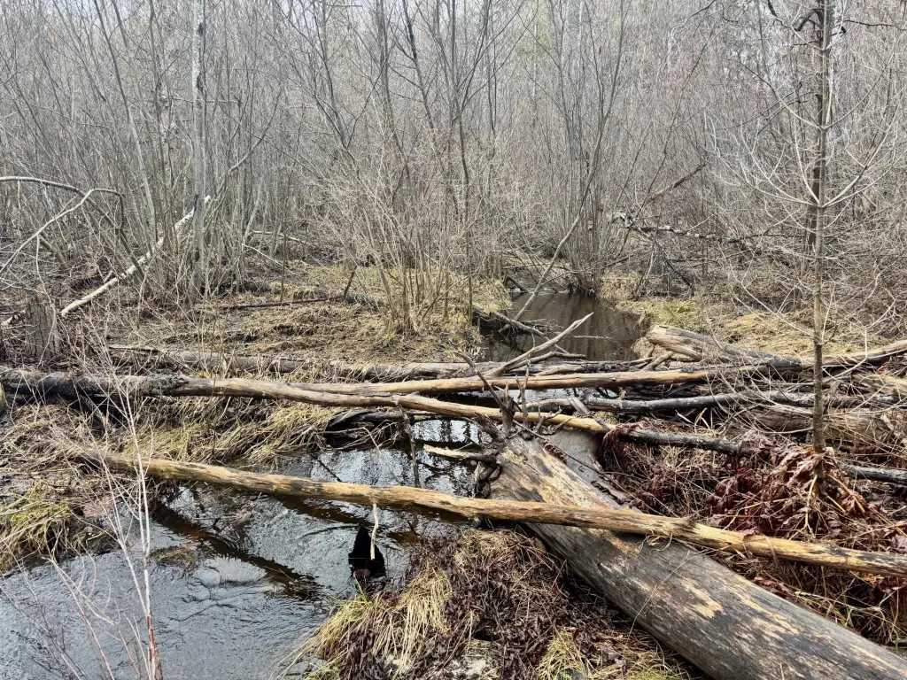
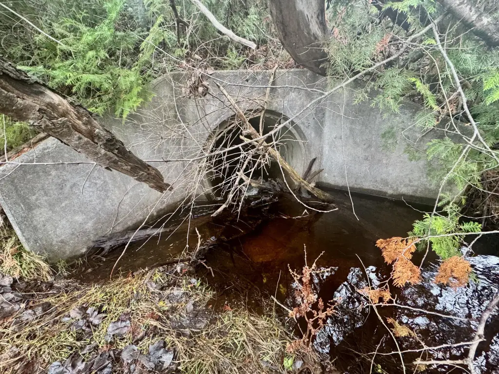
- Includes 18.5+/- acres of flat, high ground and 11.2+/- acres of low ground with Club Stream running west to east
- Natural gas at the SE corner; Consumers electricity adjacent
- About 1.2 miles from I‑75 Exit 290 via Old 27 Hwy
Overview
The site provides frontage on Old 27 N Hwy and is positioned so that a sign on the property could be seen from I-75. MDOT traffic counts referenced in the remarks show 3,919 vehicles per day on Old 27, and 16,520 vehicles per day on I-75. The property is about 1.2 miles from the I-75 Exit 290 location on Old 27 Hwy.
For buyers seeking a commercial land parcel under B-2 zoning, this configuration offers a substantial area of developable flat ground alongside low-ground areas influenced by the stream. Utilities are identified at the corners/edge of the property, and the documented access/easement arrangement supports planning that coordinates with the adjacent-west parcel and billboard lessee.
Current Use by Public Records
Map
- City
- Vanderbilt
- County
- Otsego
- State
- Michigan
- Longitude
- -84.663702
- Latitude
- 45.133541