Hwy 169, Redding, IA 50860

- Added:
- Apr 21, 2026
- Days on Market:
- 74
- Last Refresh:
- Jul 3 at 7:06 pm
Property Features for Hwy 169
General Information
- Property type
- Land
- Property subtype
- Other
- Standard status
- Active
- Lot size
- 1,232.04 Acres
Listing agent Nick Hopp (507) 218-1243
Listing office High Point Land Company, LLC 520 Main Street South, Stewartville, IA (319) 559-2345
Listing date Apr 21, 2026
Copyright © 2026 My State MLS. All rights reserved. All information provided by the listing agent/broker is deemed reliable but is not guaranteed and should be independently verified.
HighLights
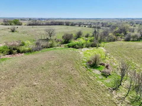
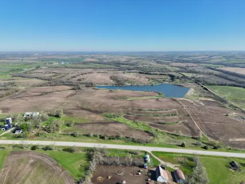
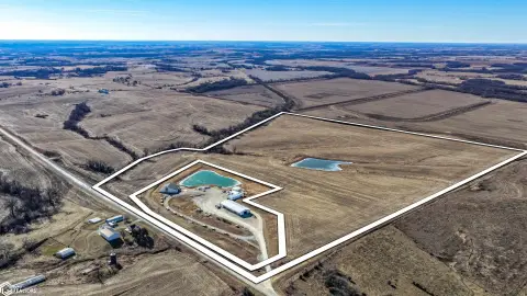
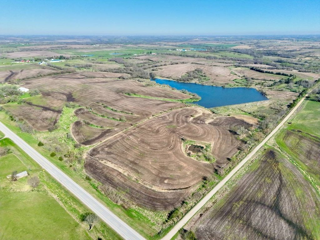
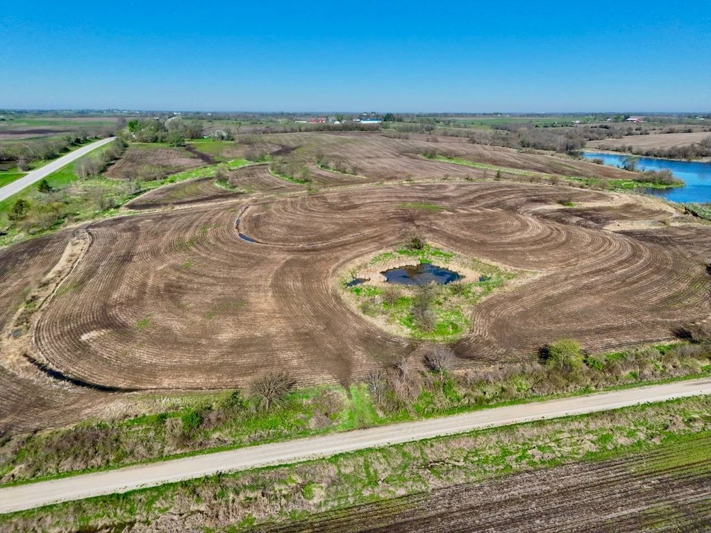
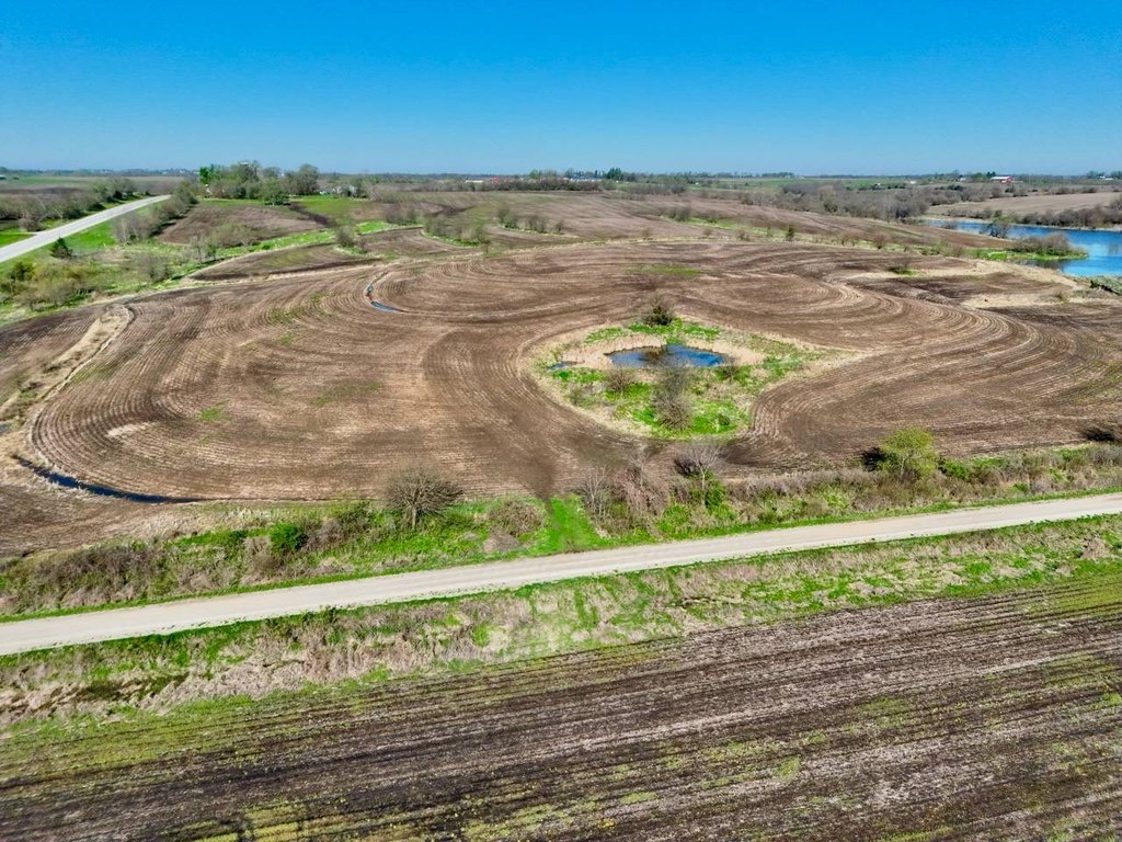
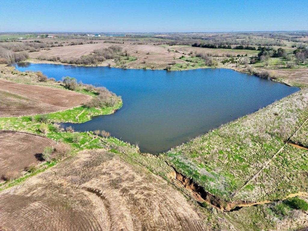
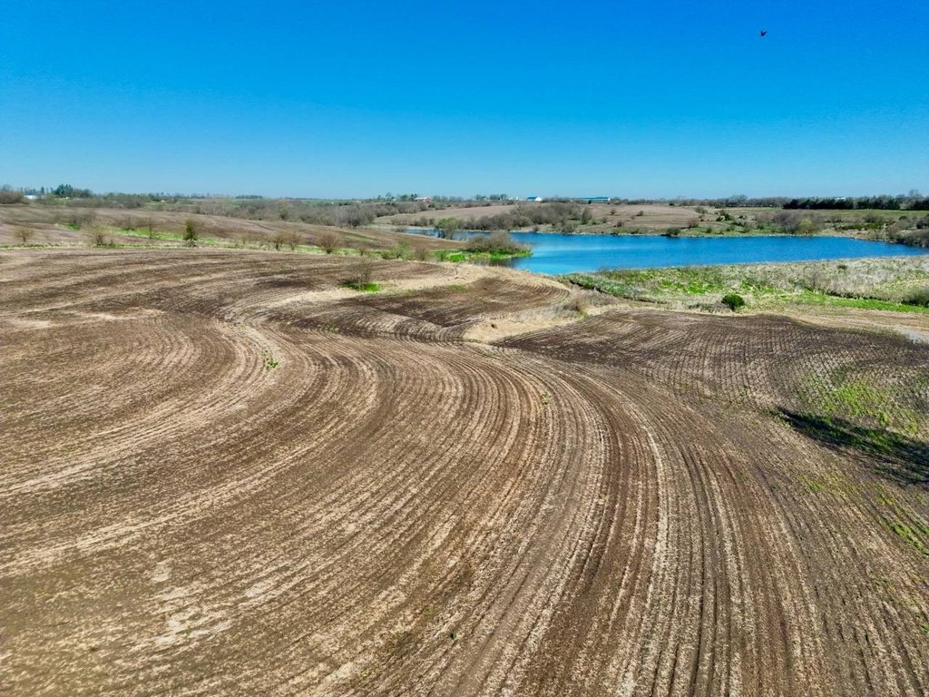
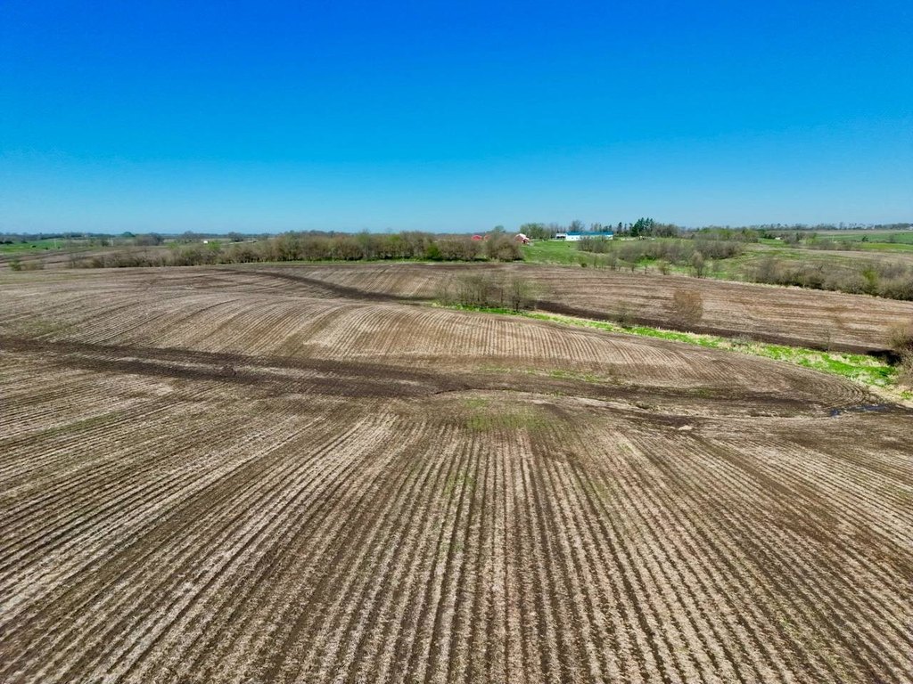
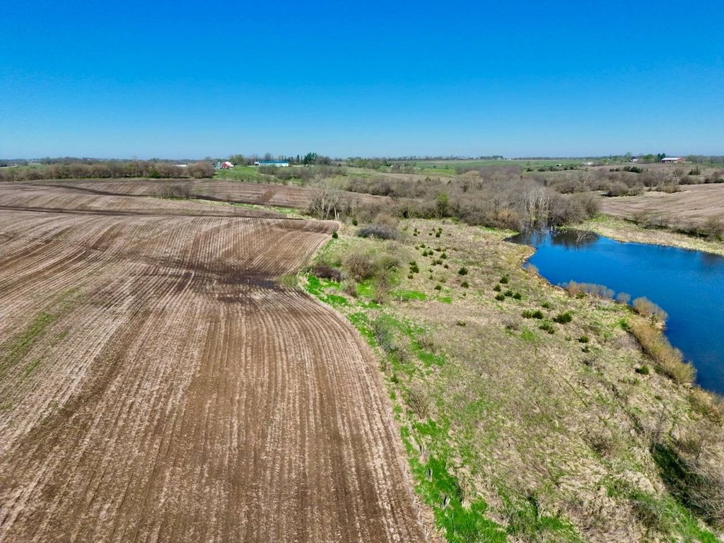
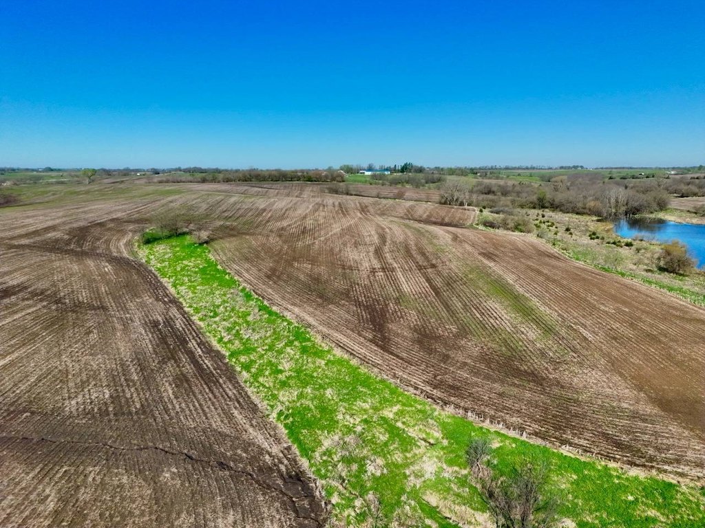
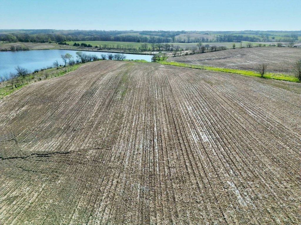
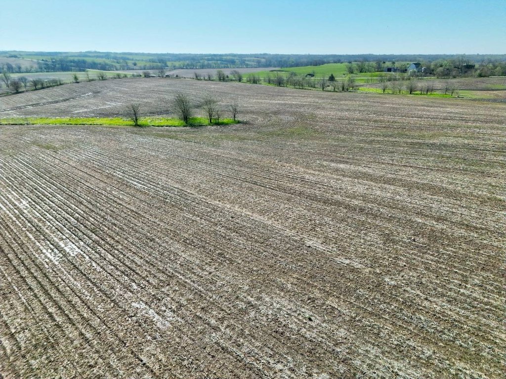
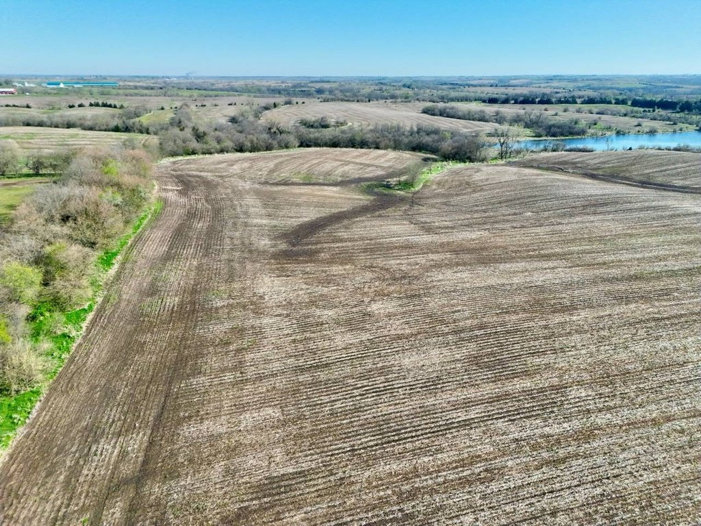
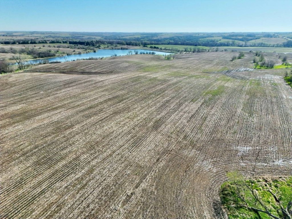
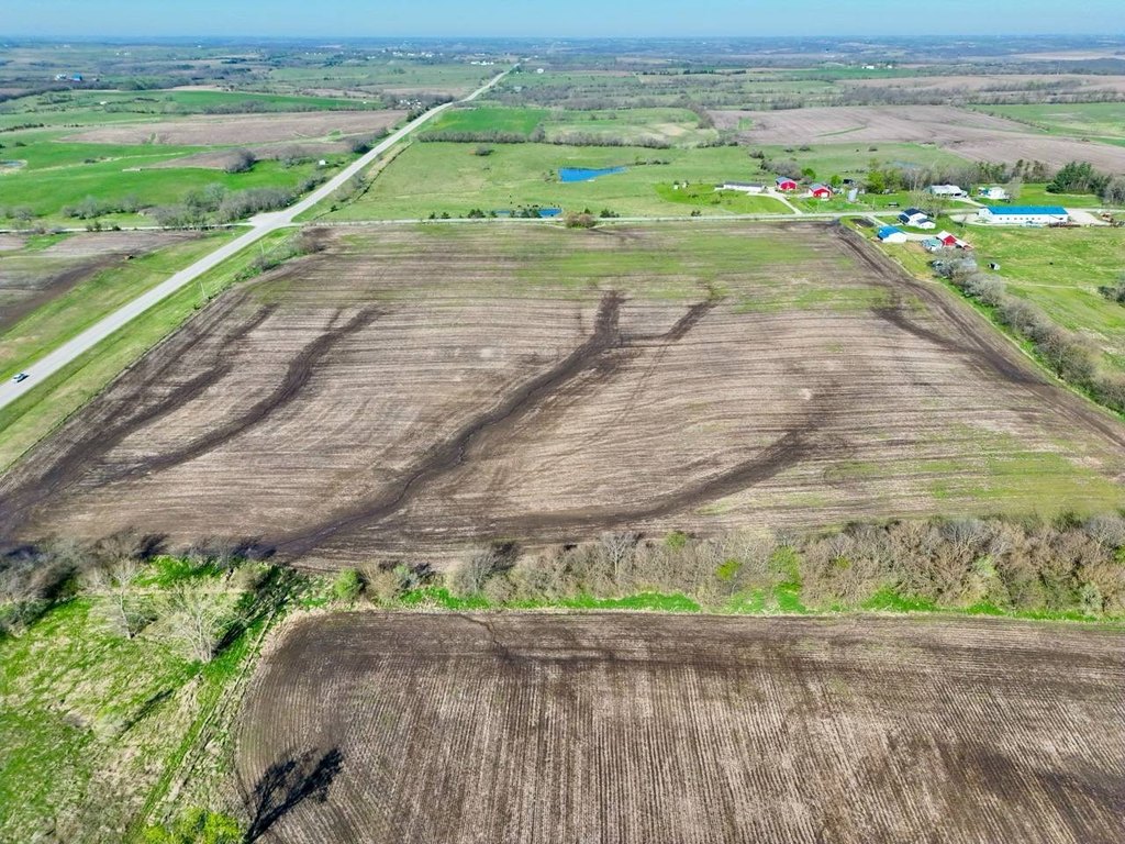
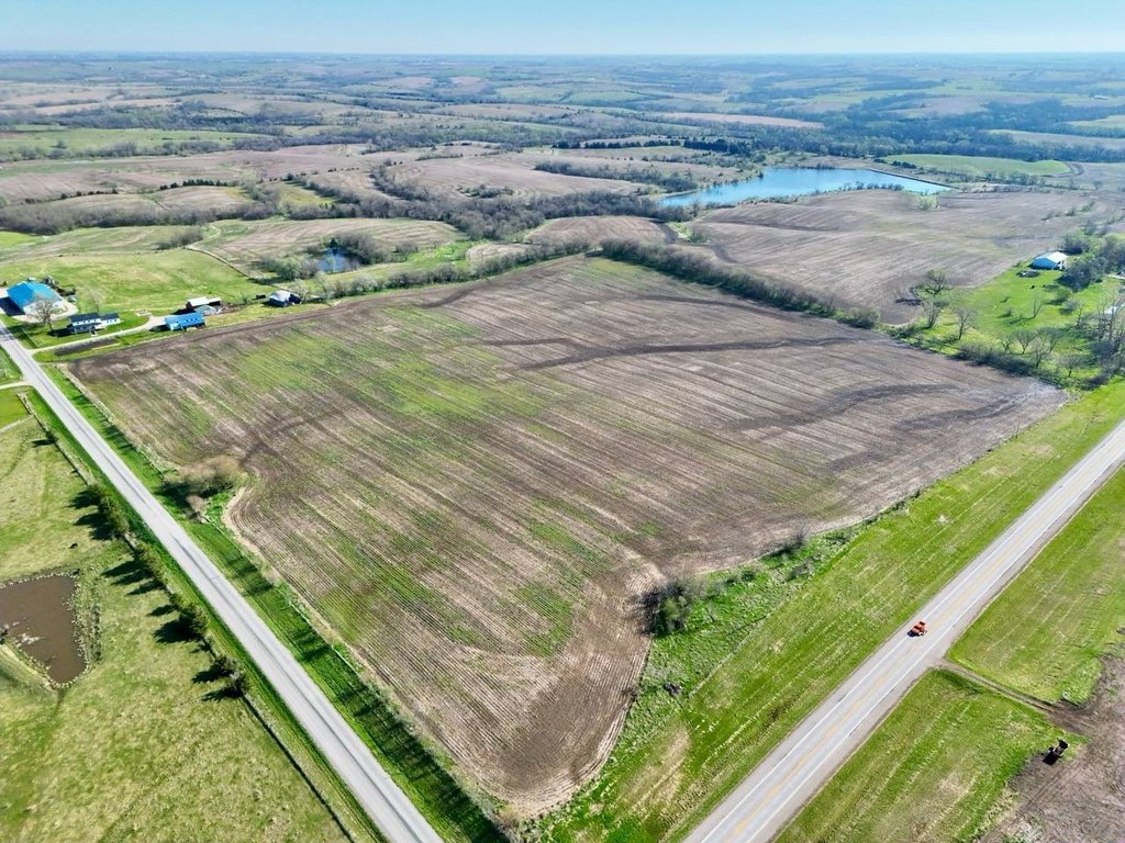
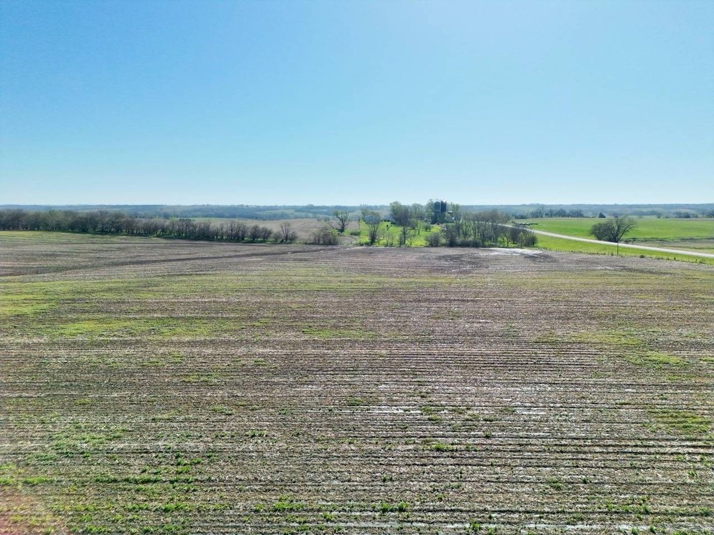
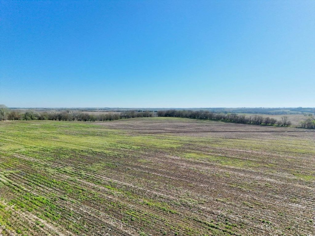
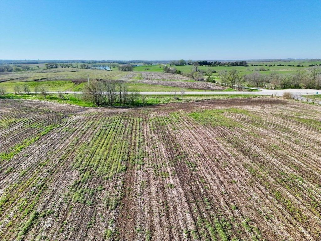
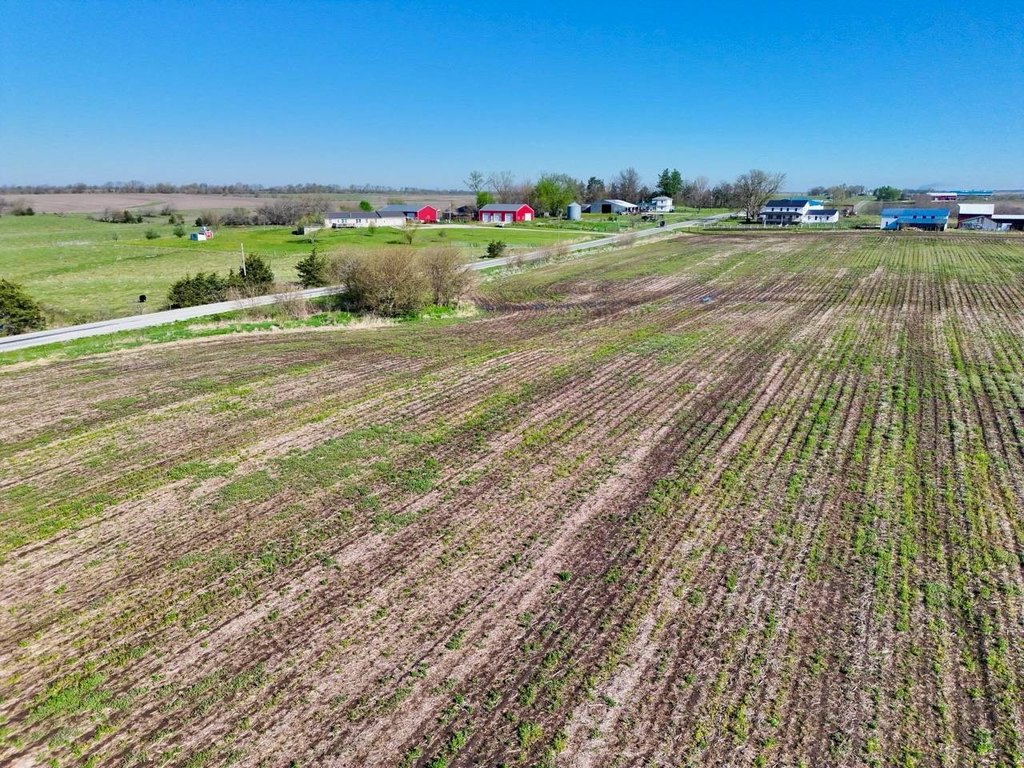
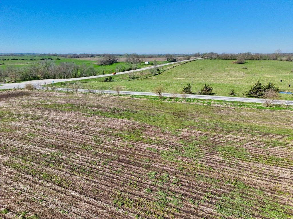
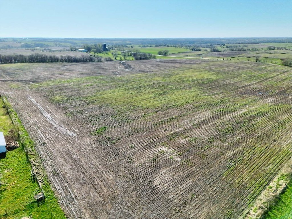
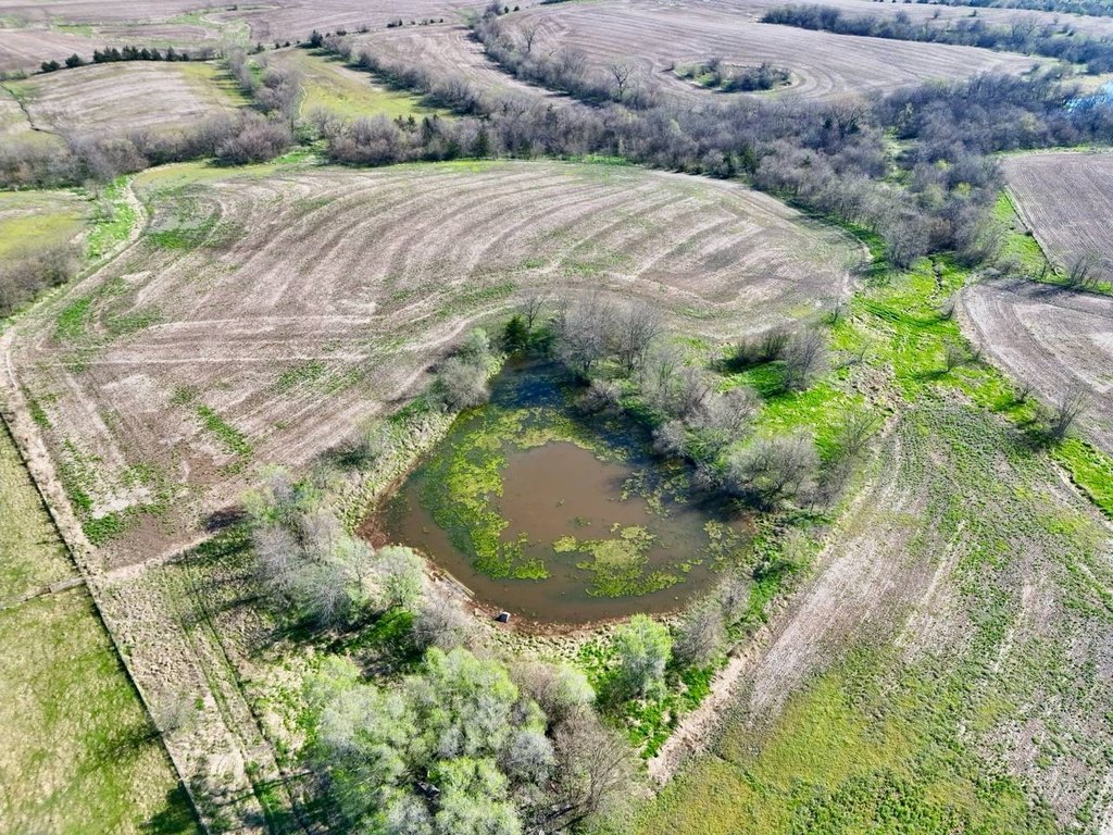
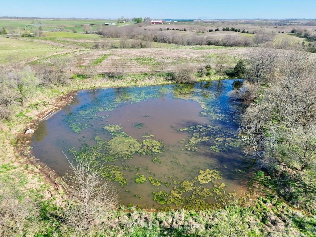
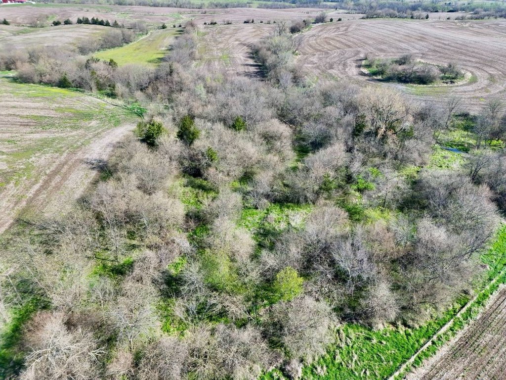
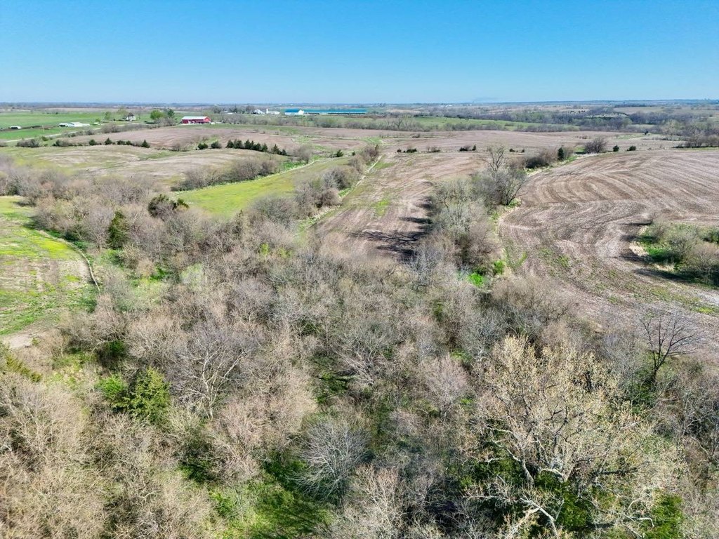
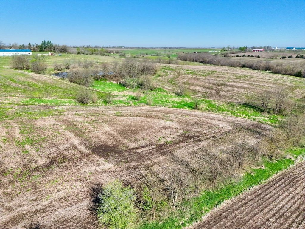
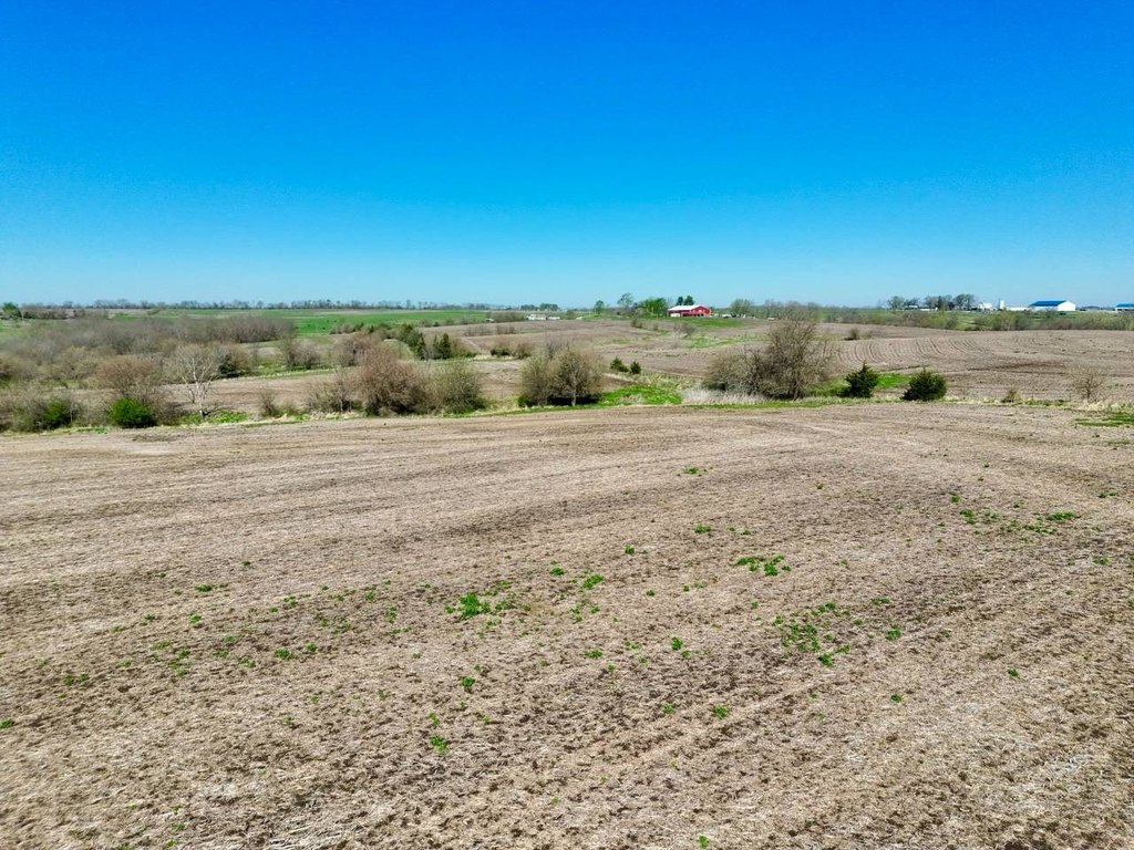
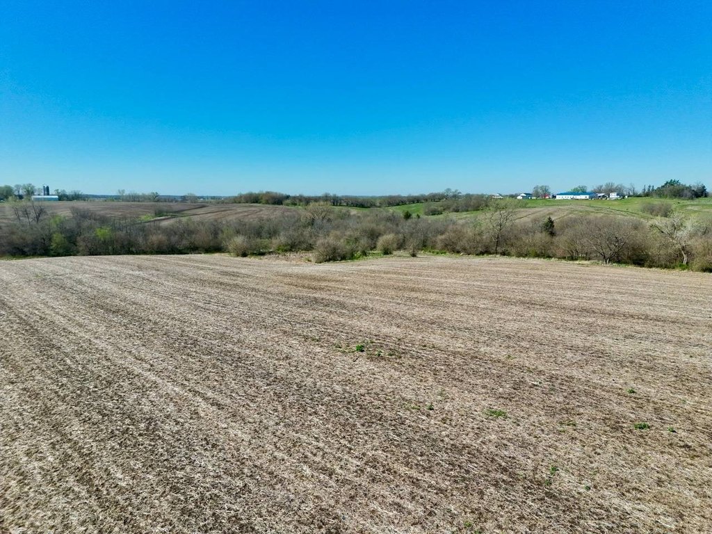
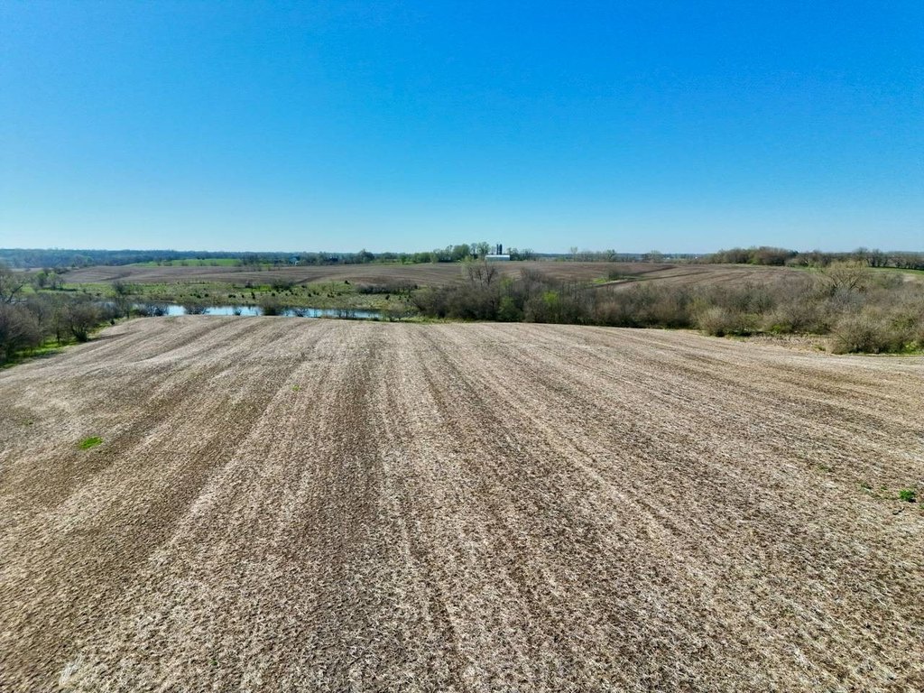
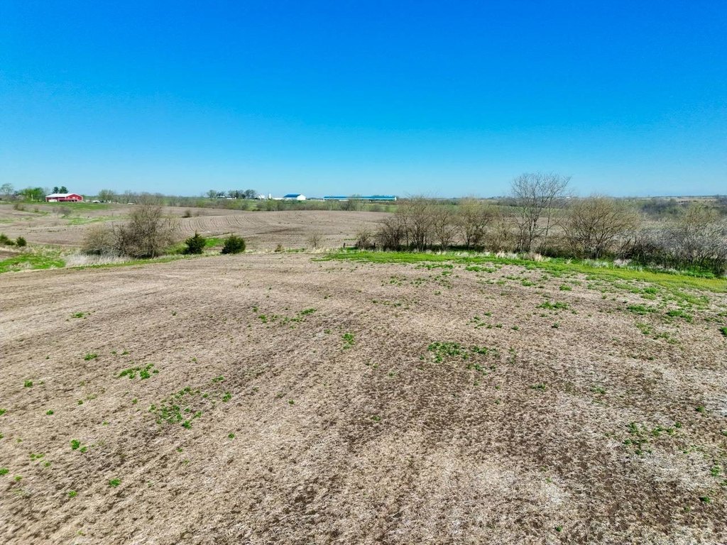
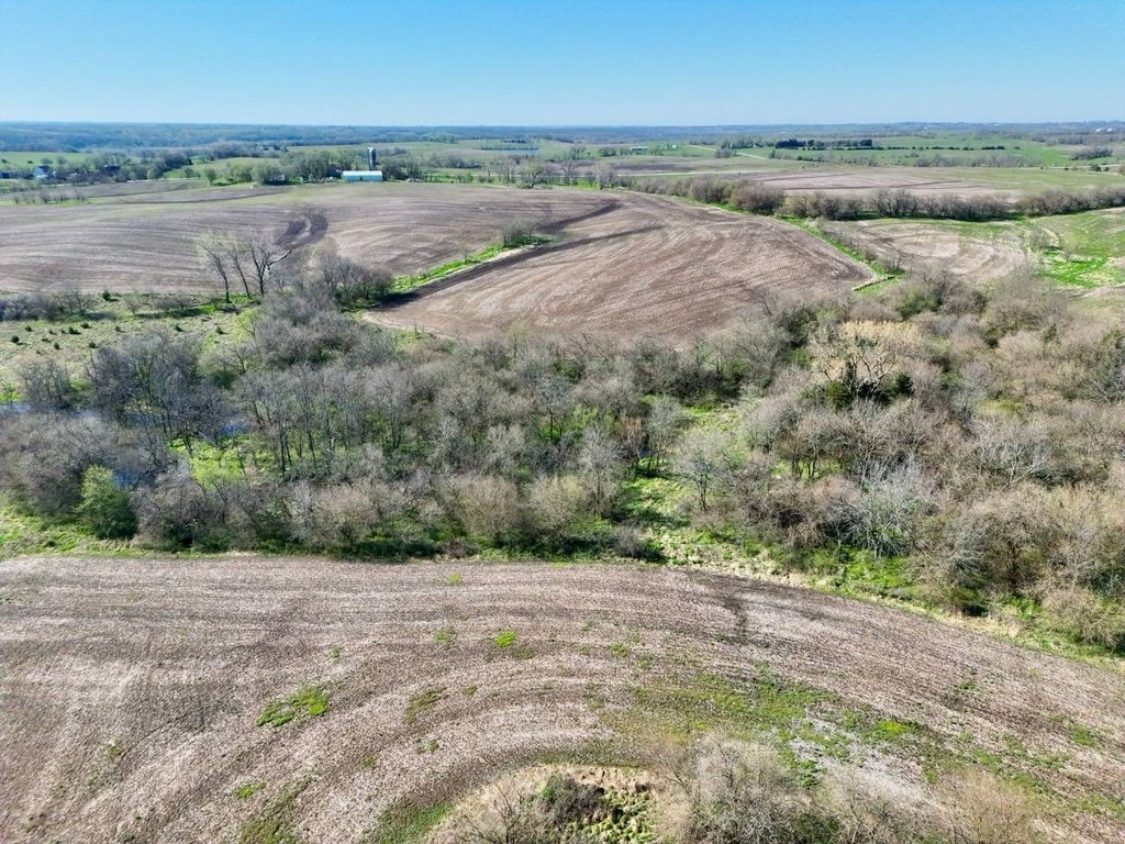
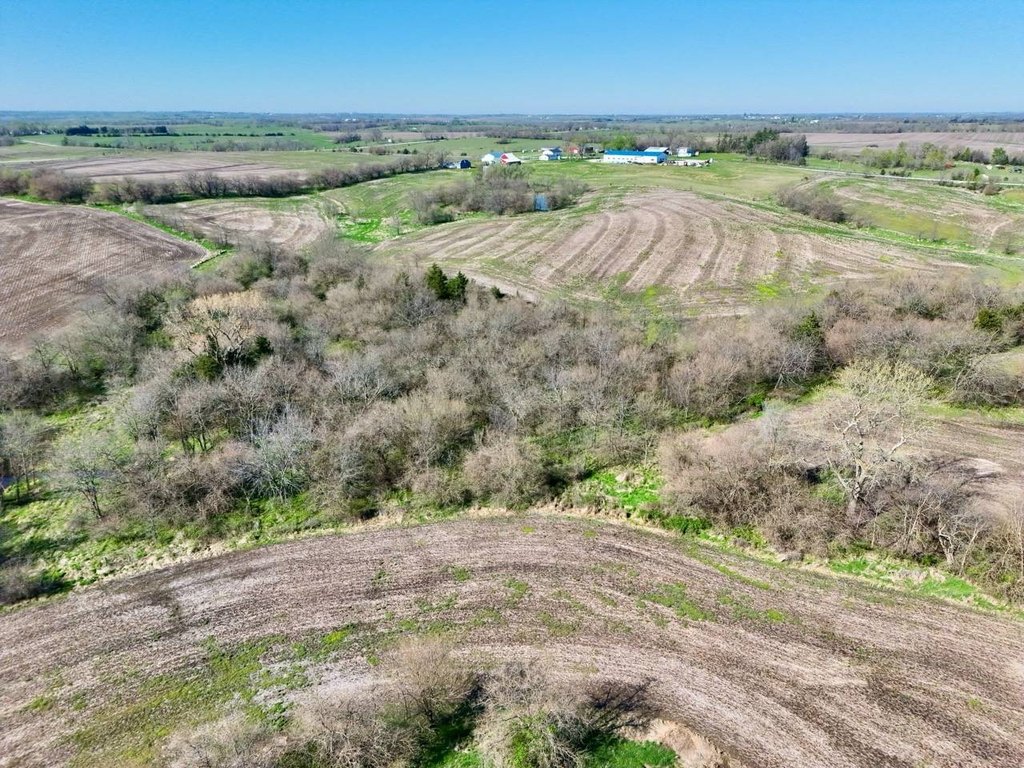
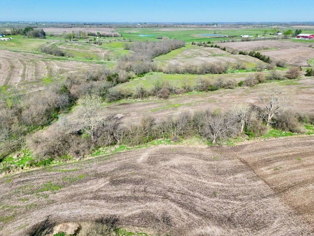
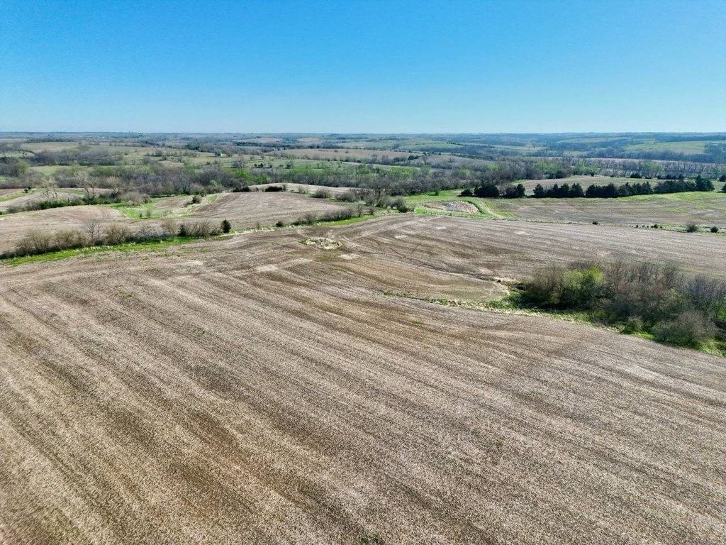
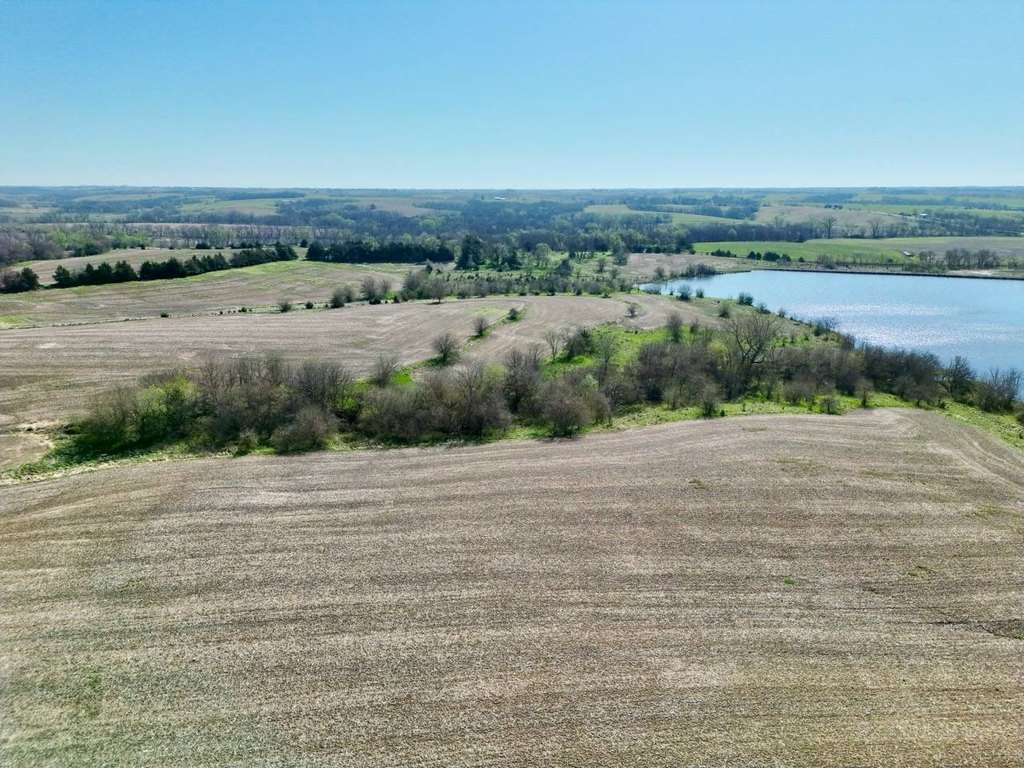
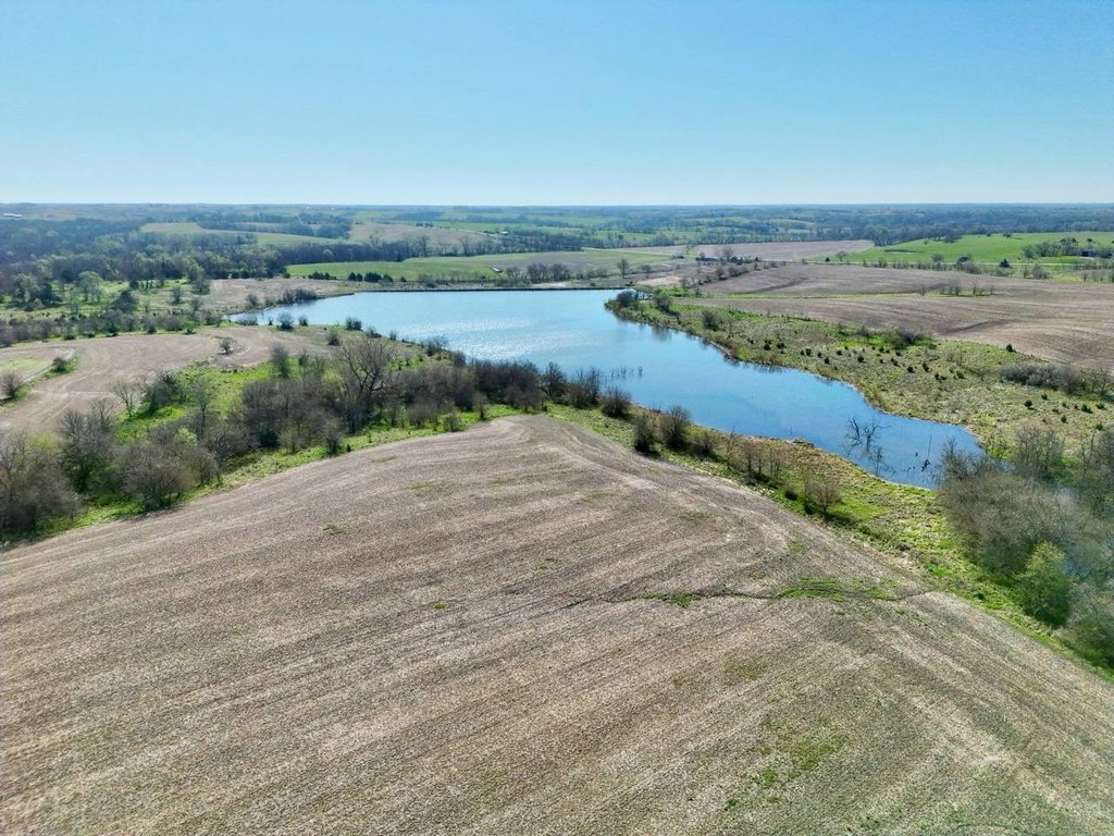
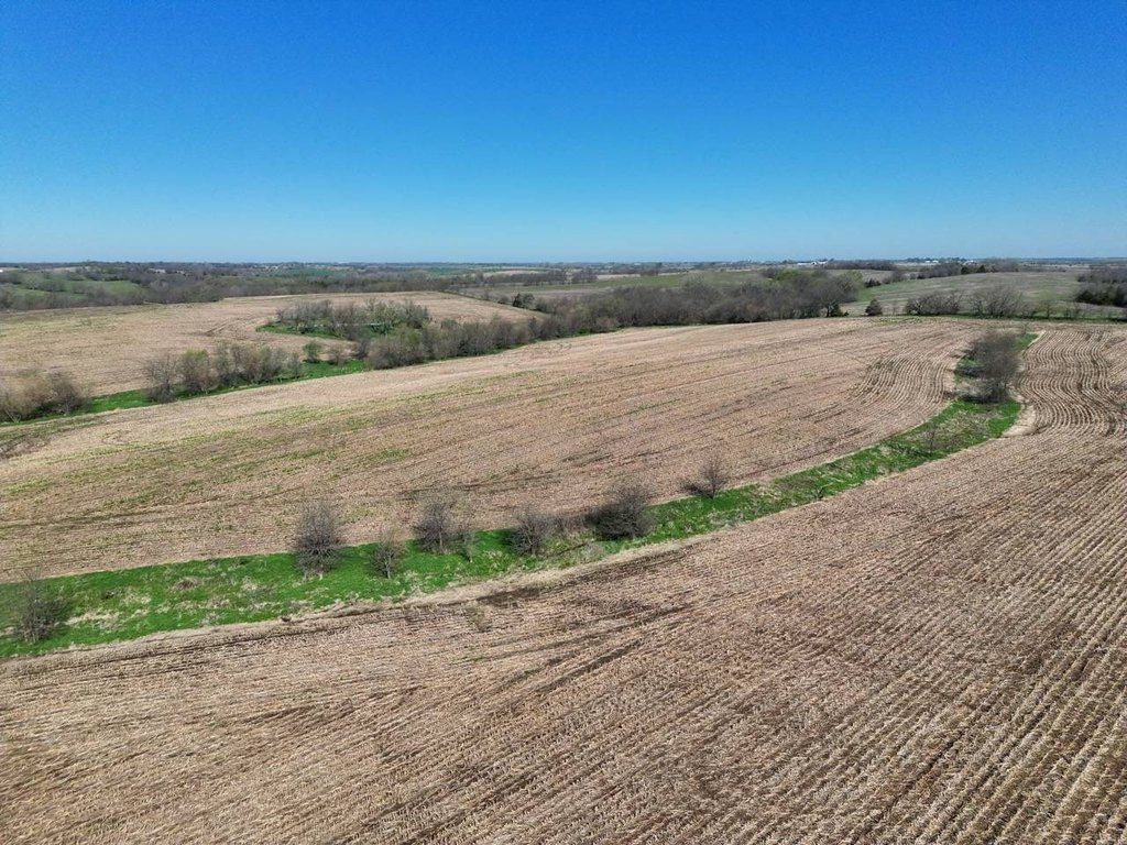
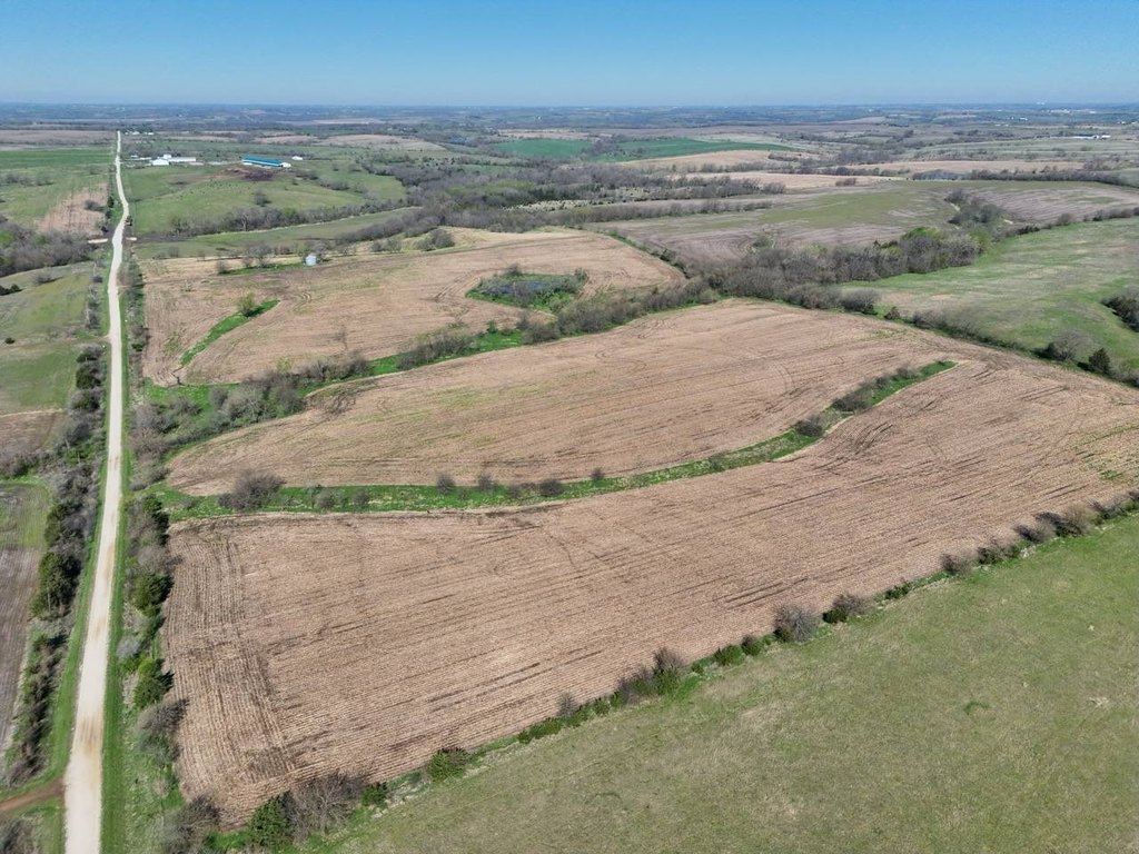
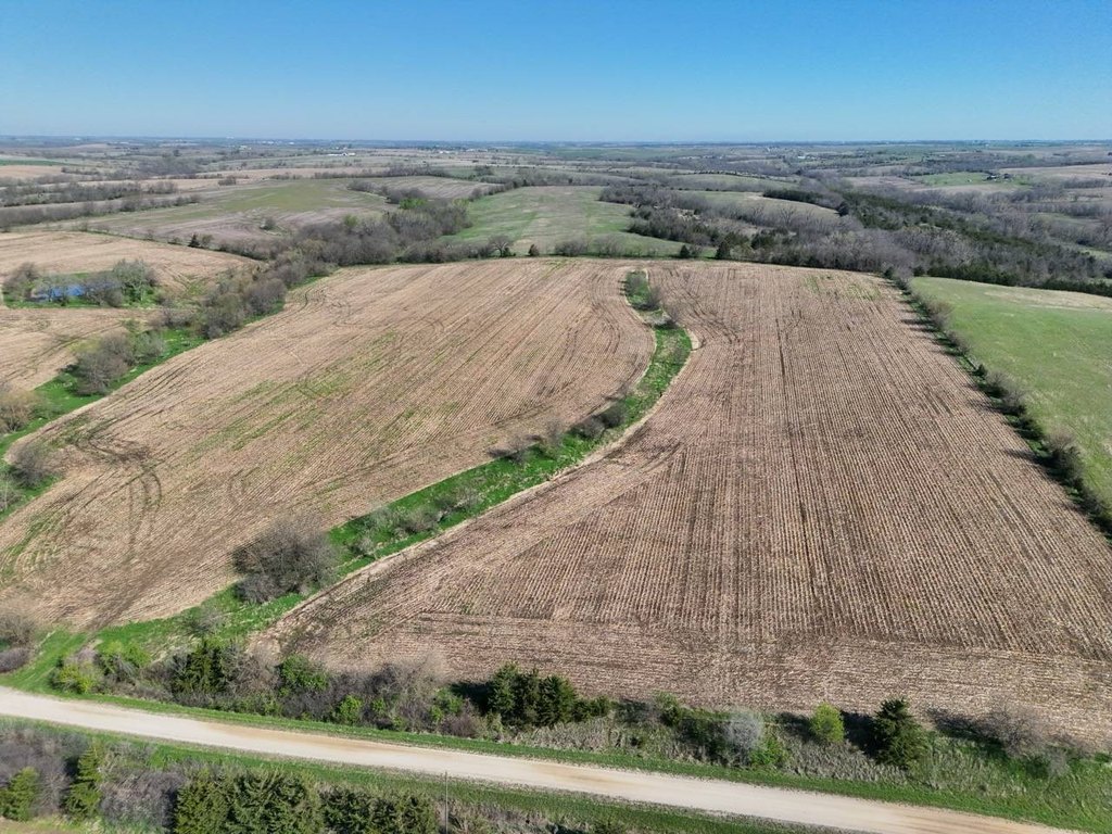
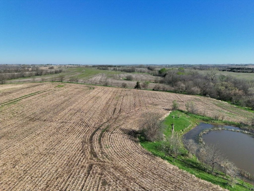
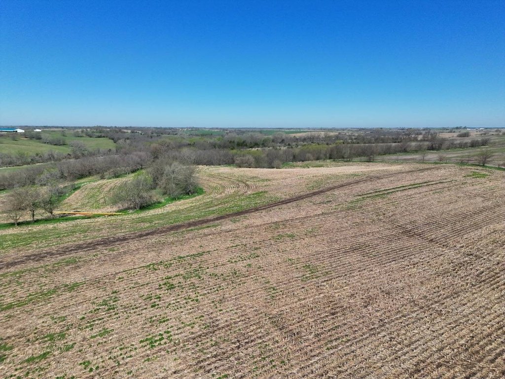
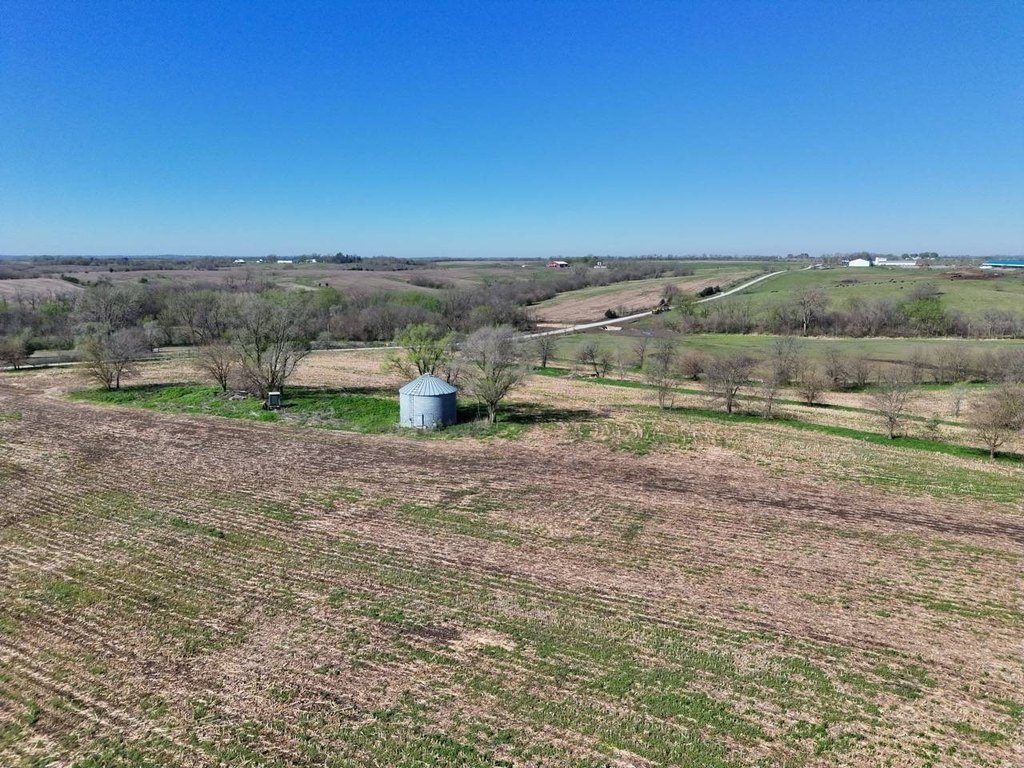
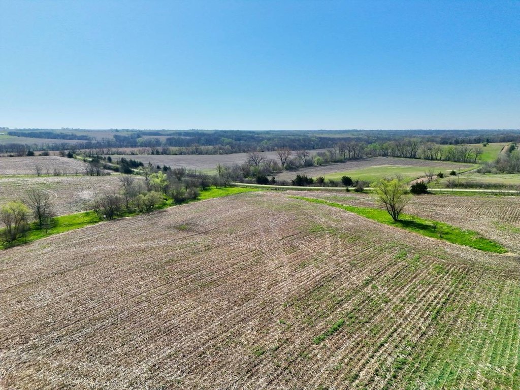
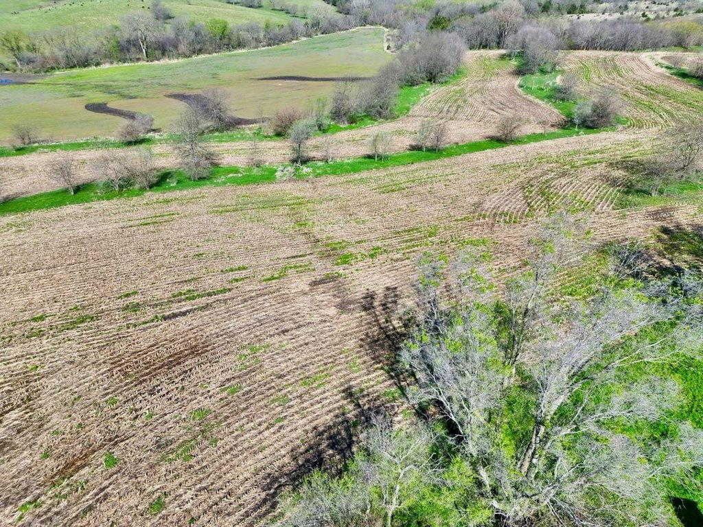
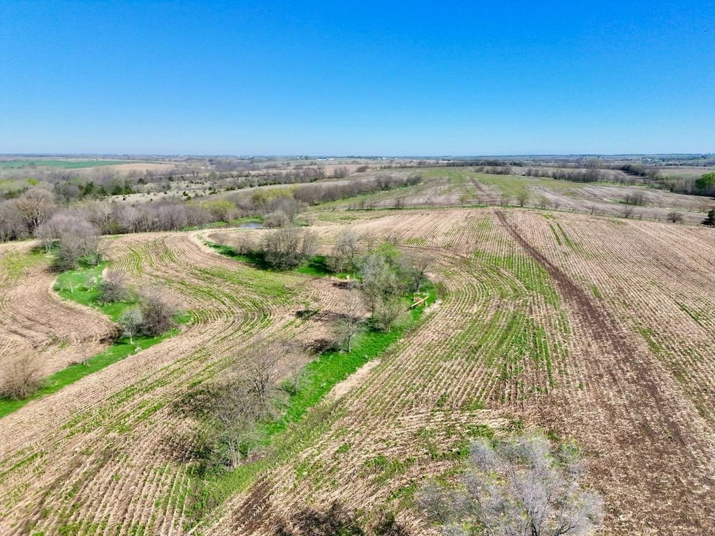
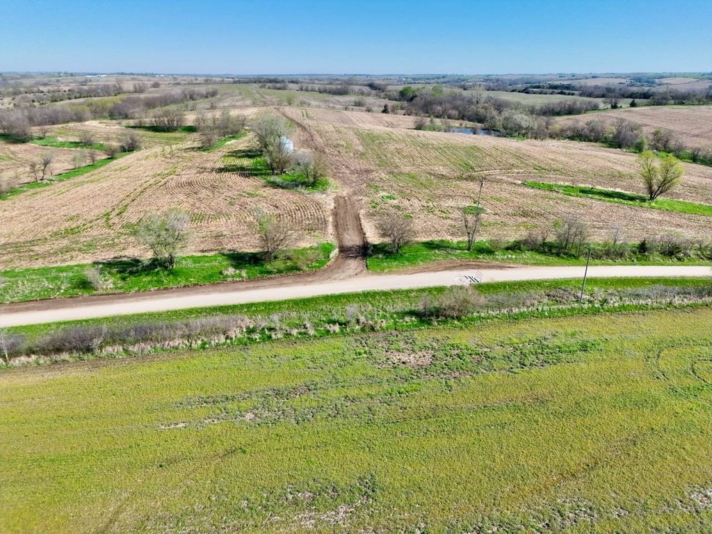
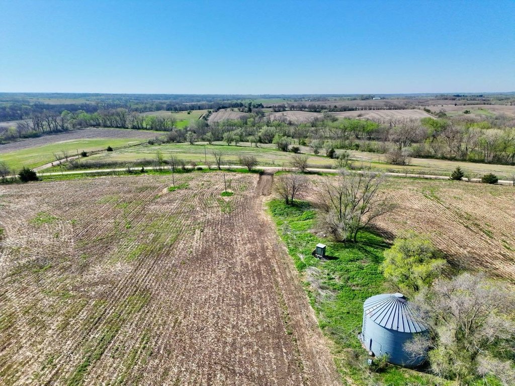
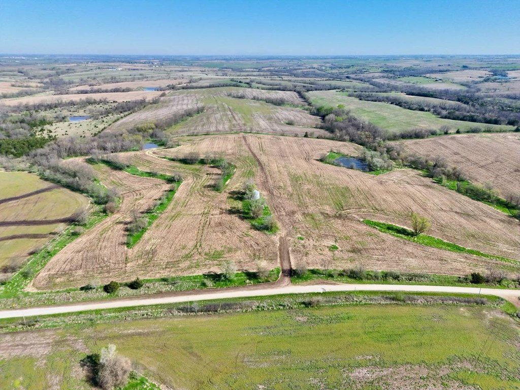
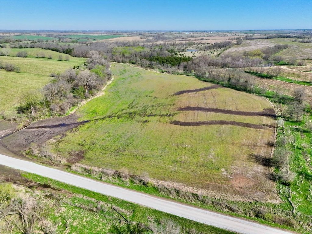
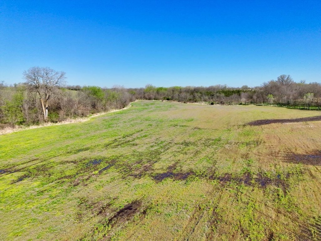
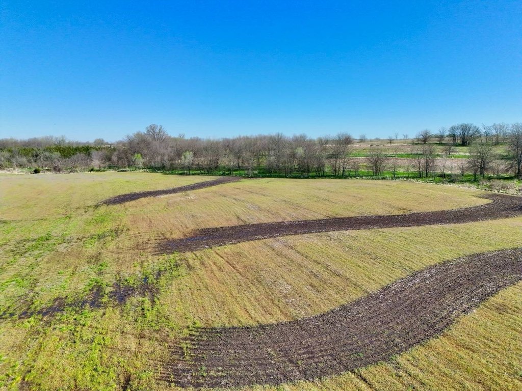
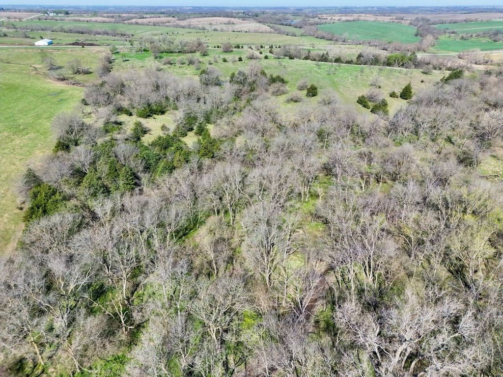
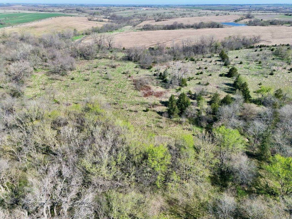
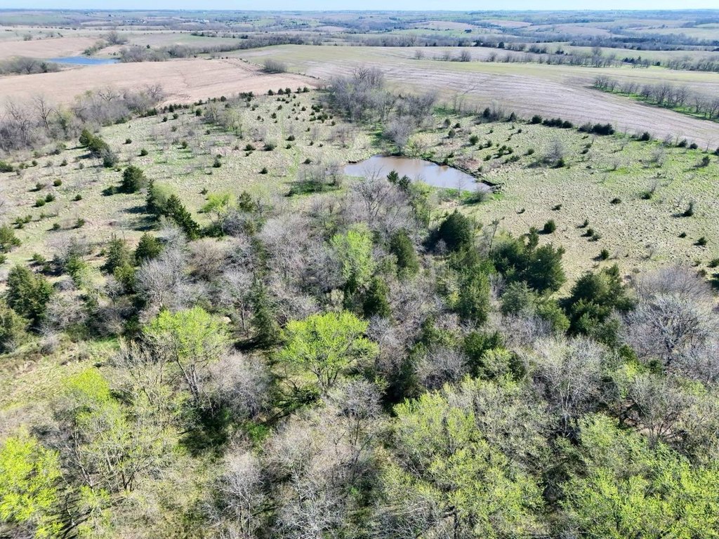
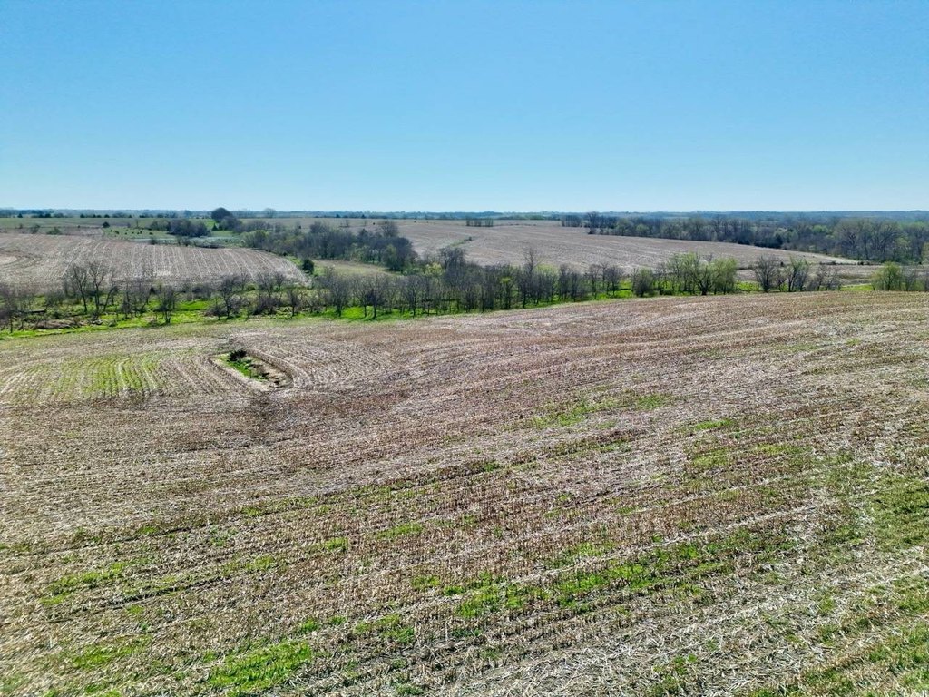
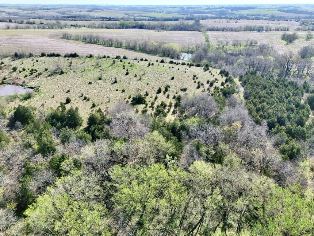
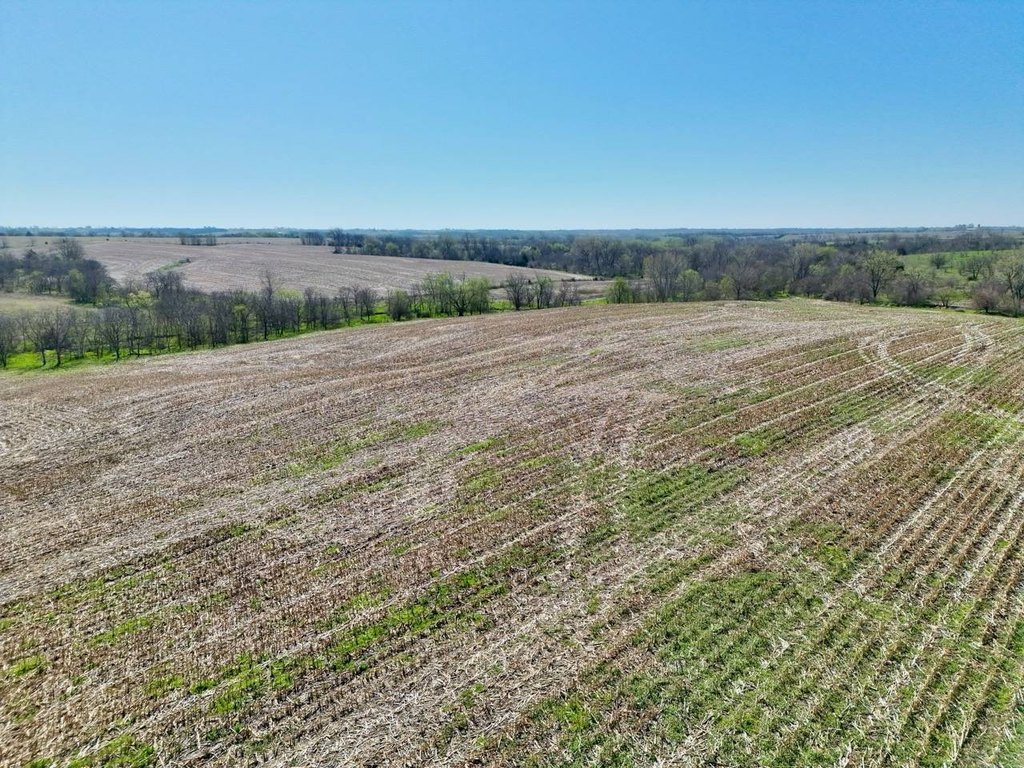
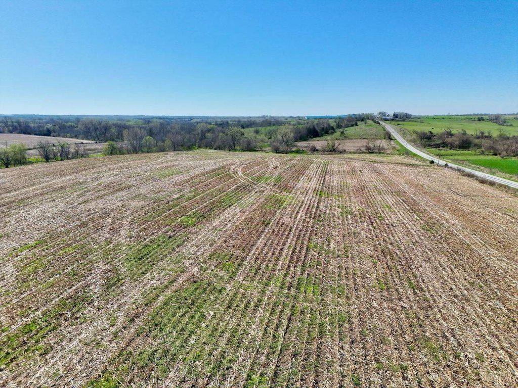
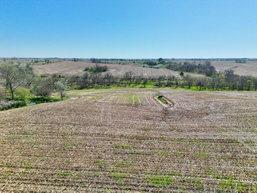
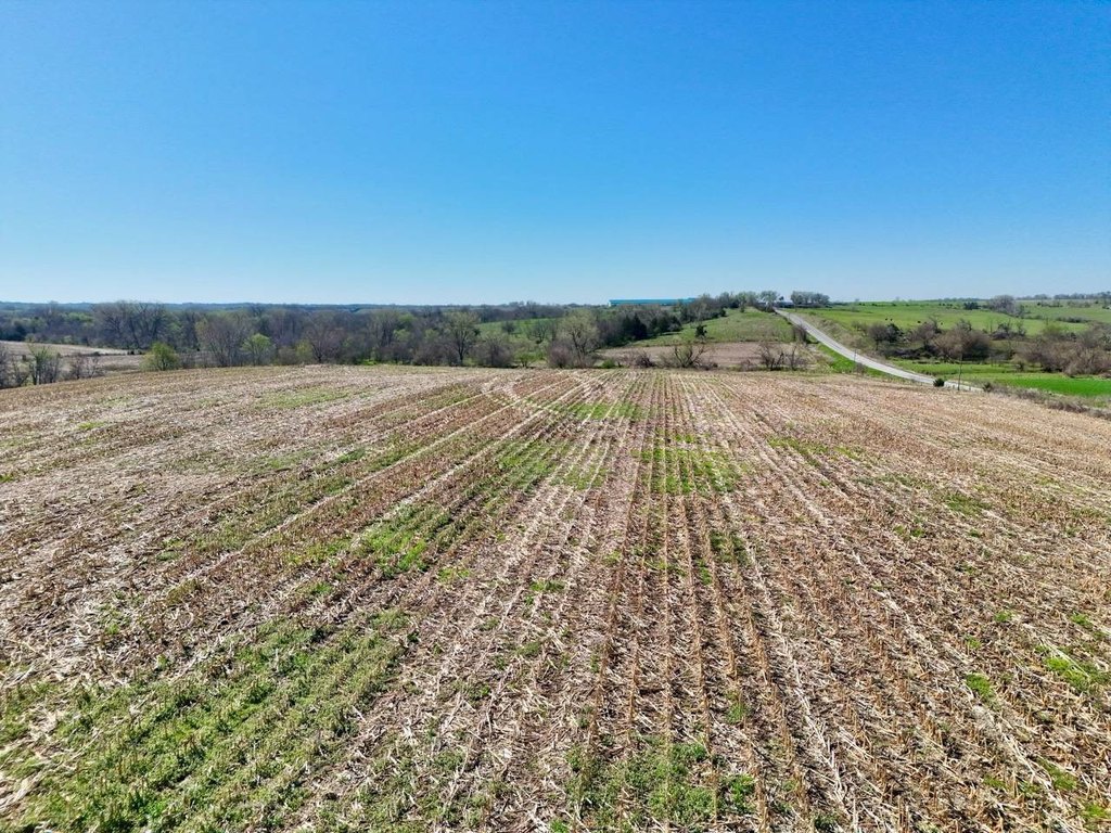
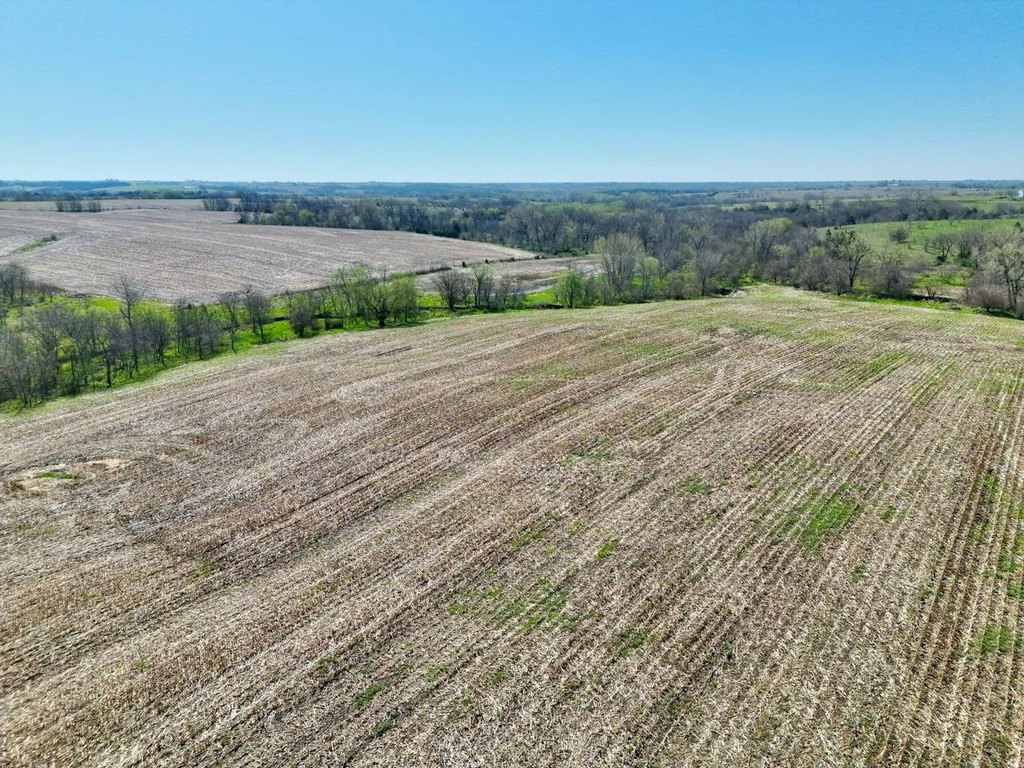
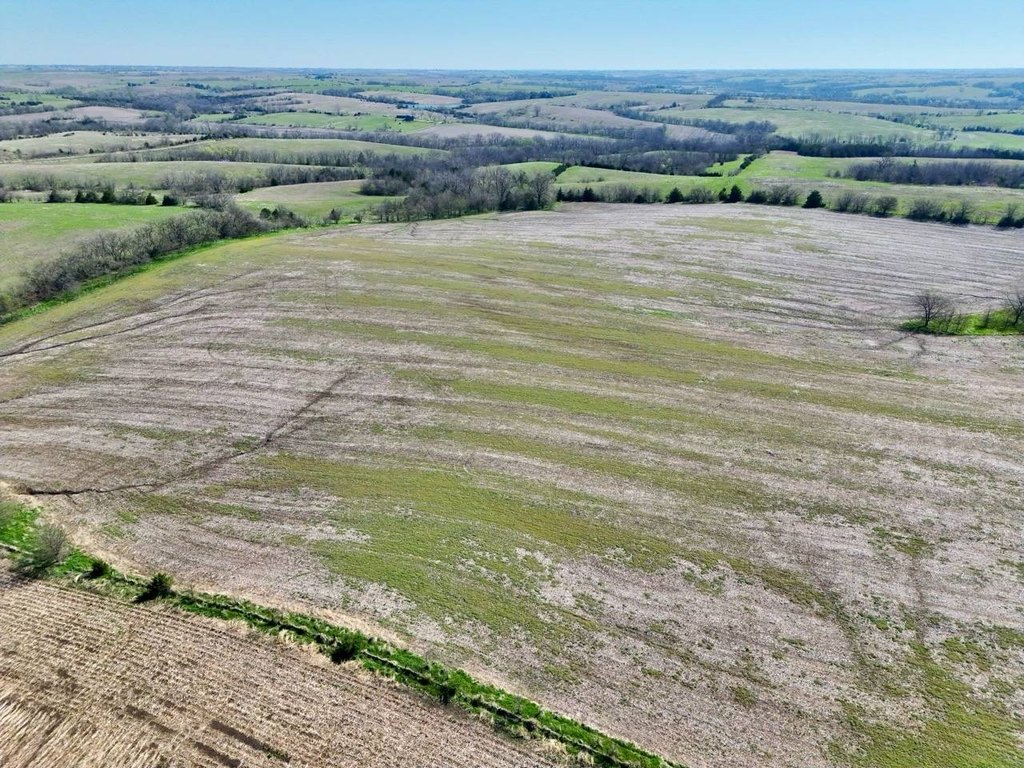
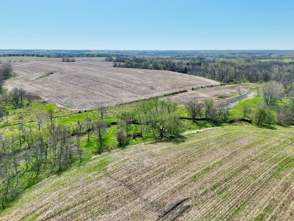
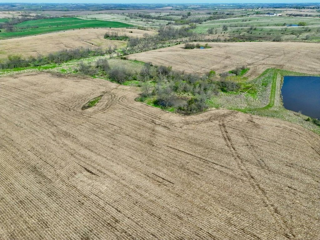
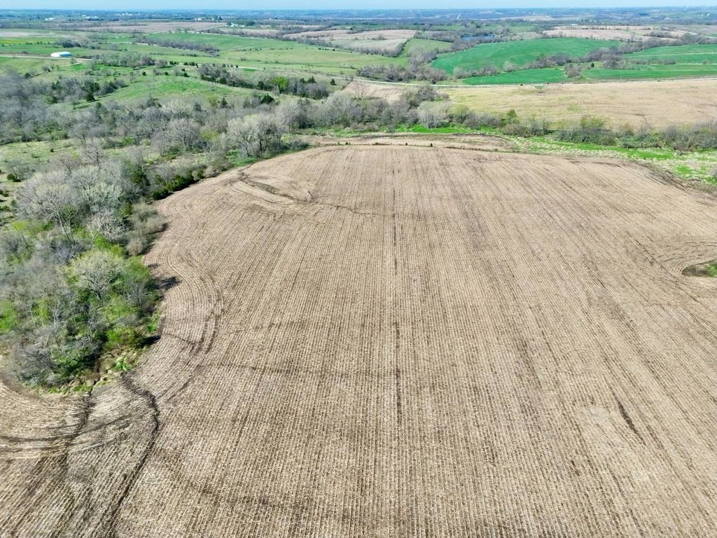
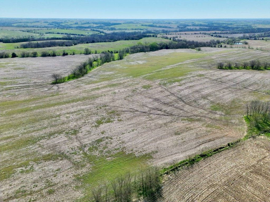
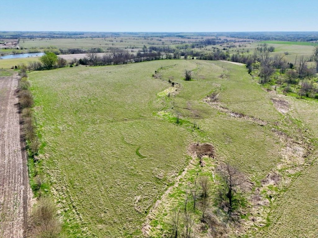
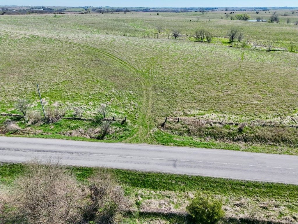
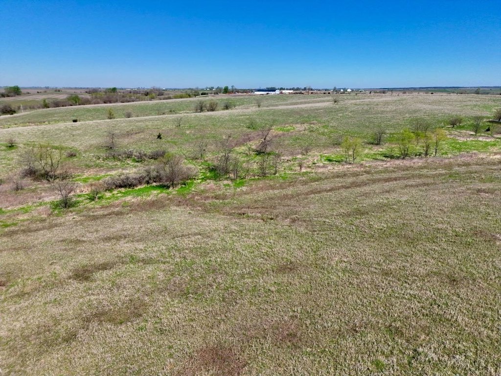
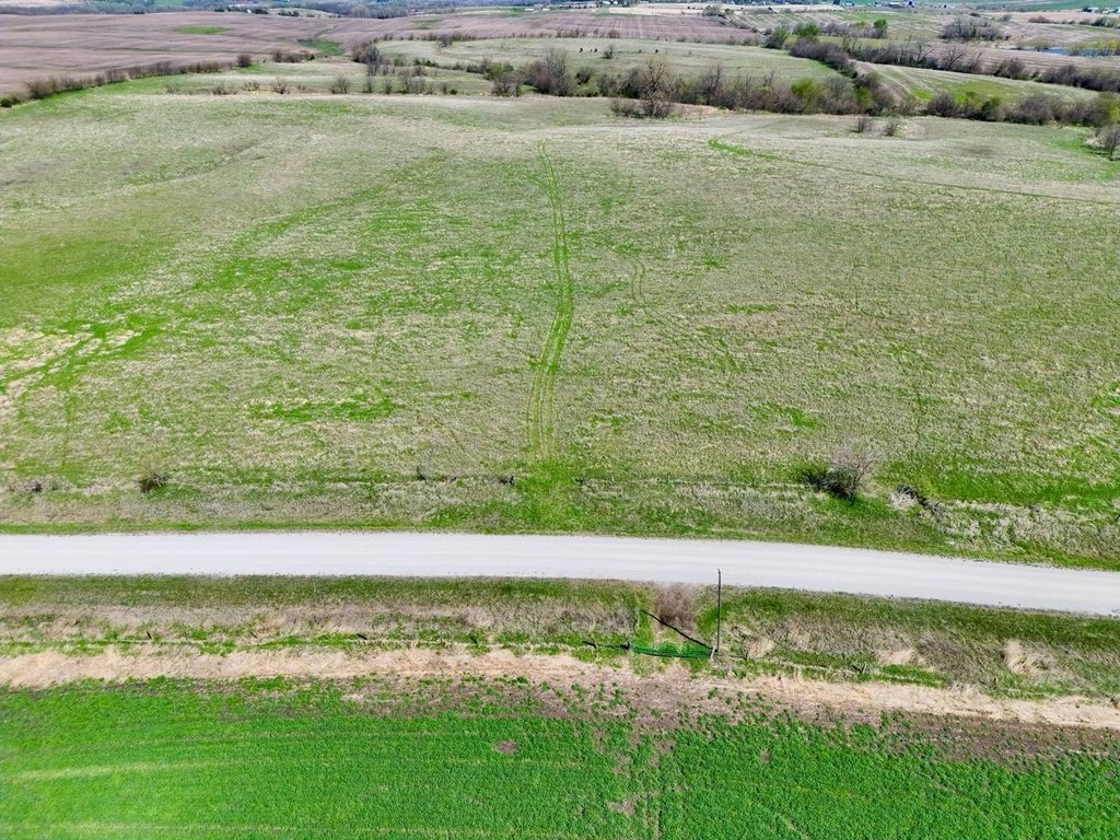
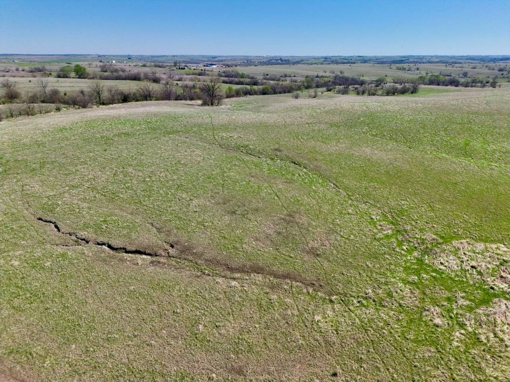
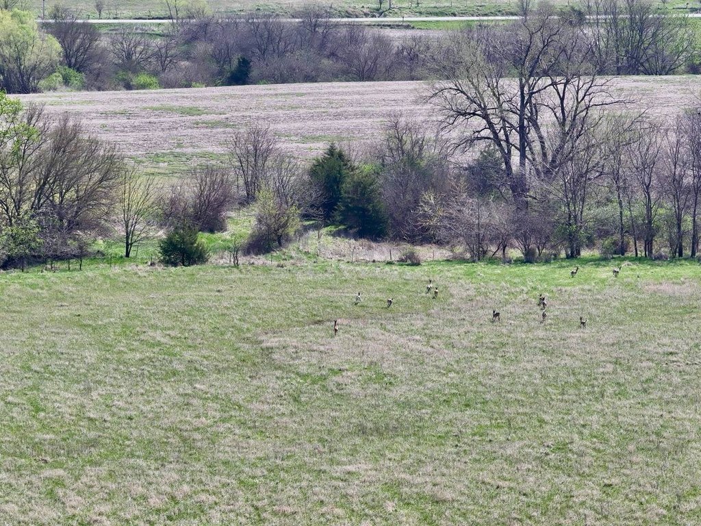
- 1,232+/- acre diversified farm in Rice Township, Ringgold County, Iowa
- 947+/- acres of certified cropland with established CRP contracts for annual income
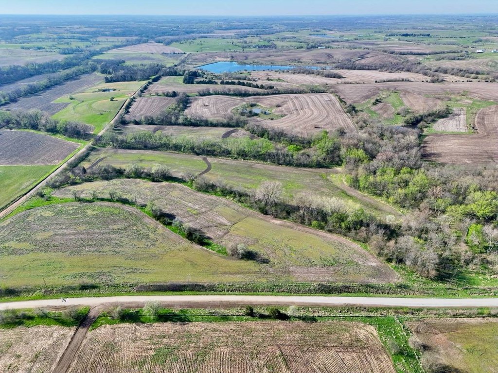
- Natural division into three tracts with preference to sell as a whole; seller considers three‑tract sale only if all close simultaneously
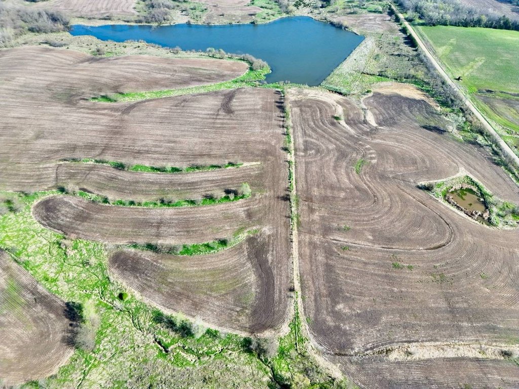
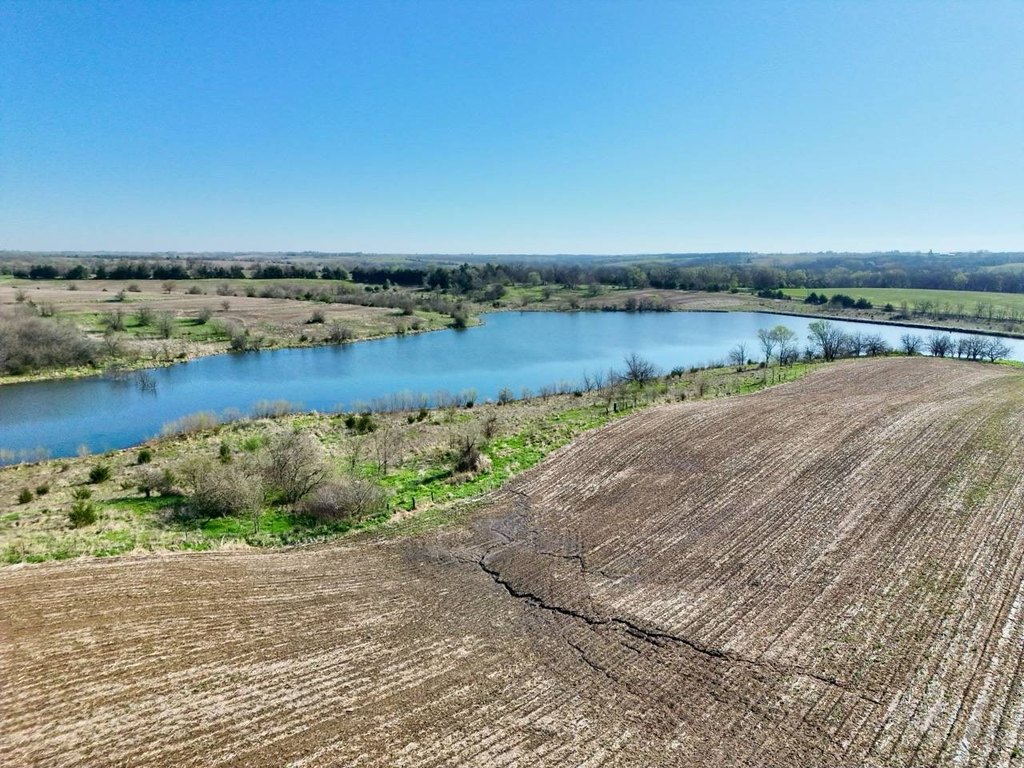
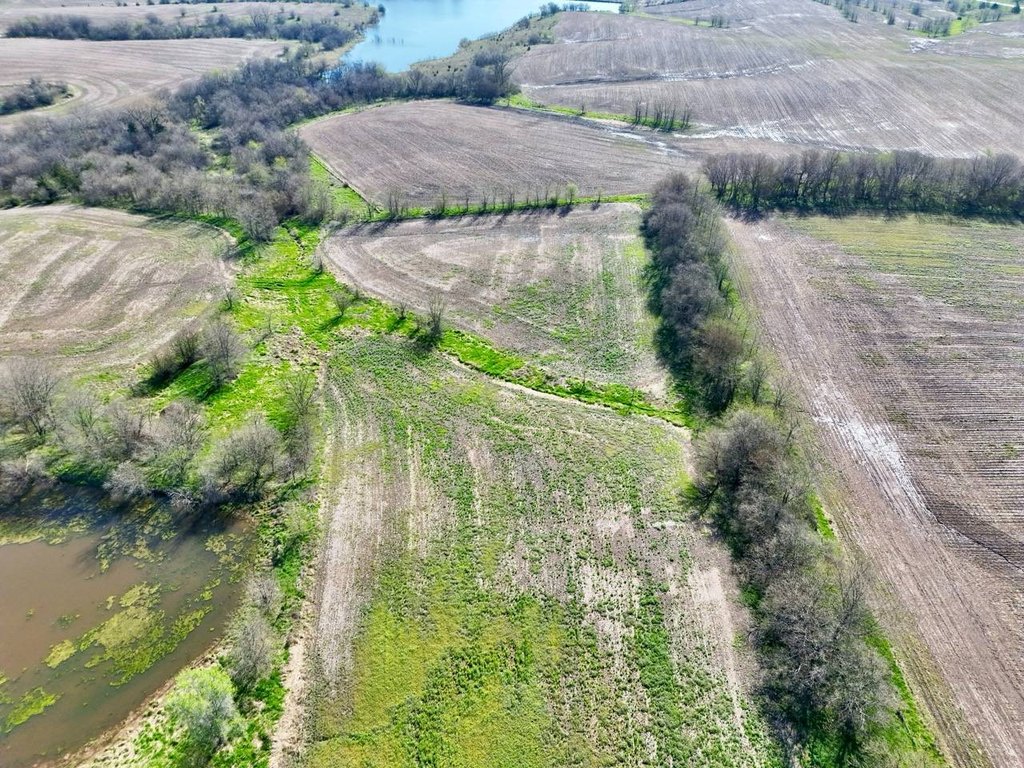
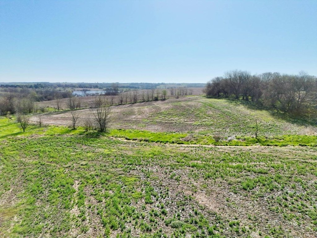
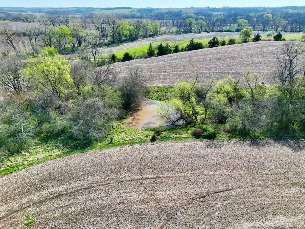
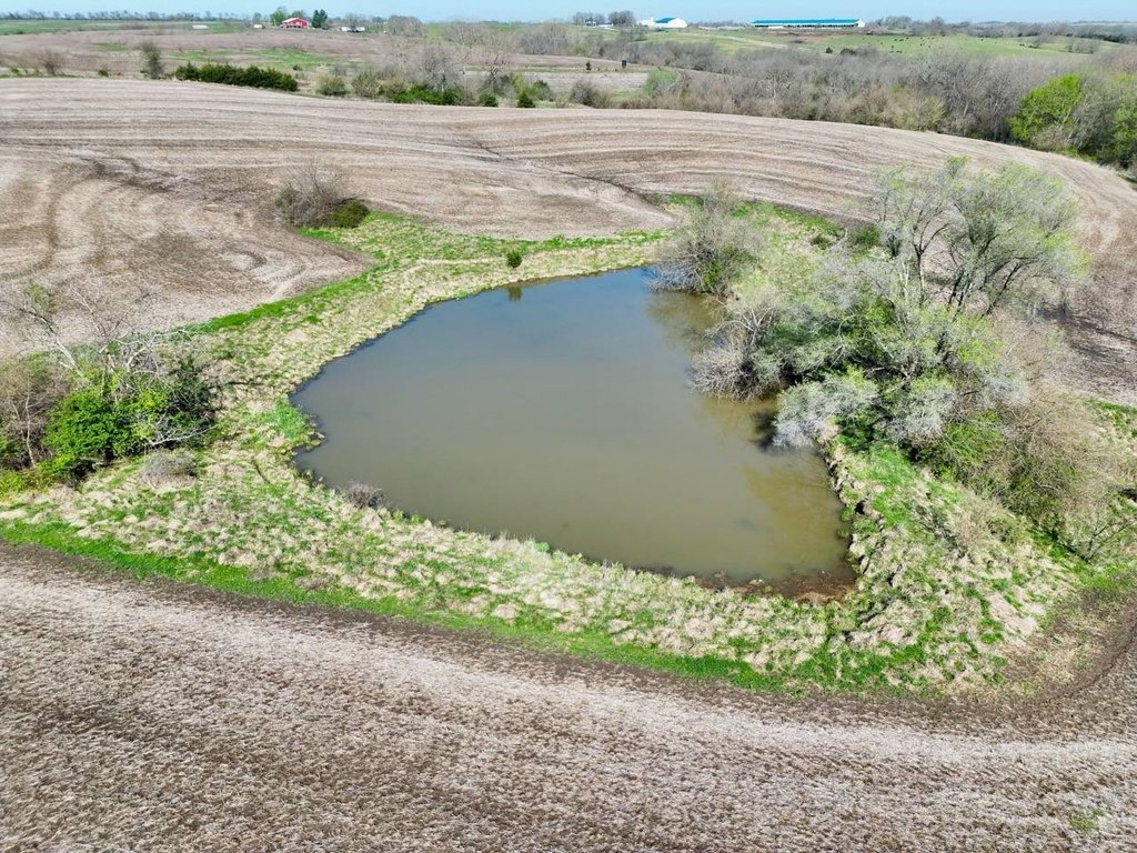
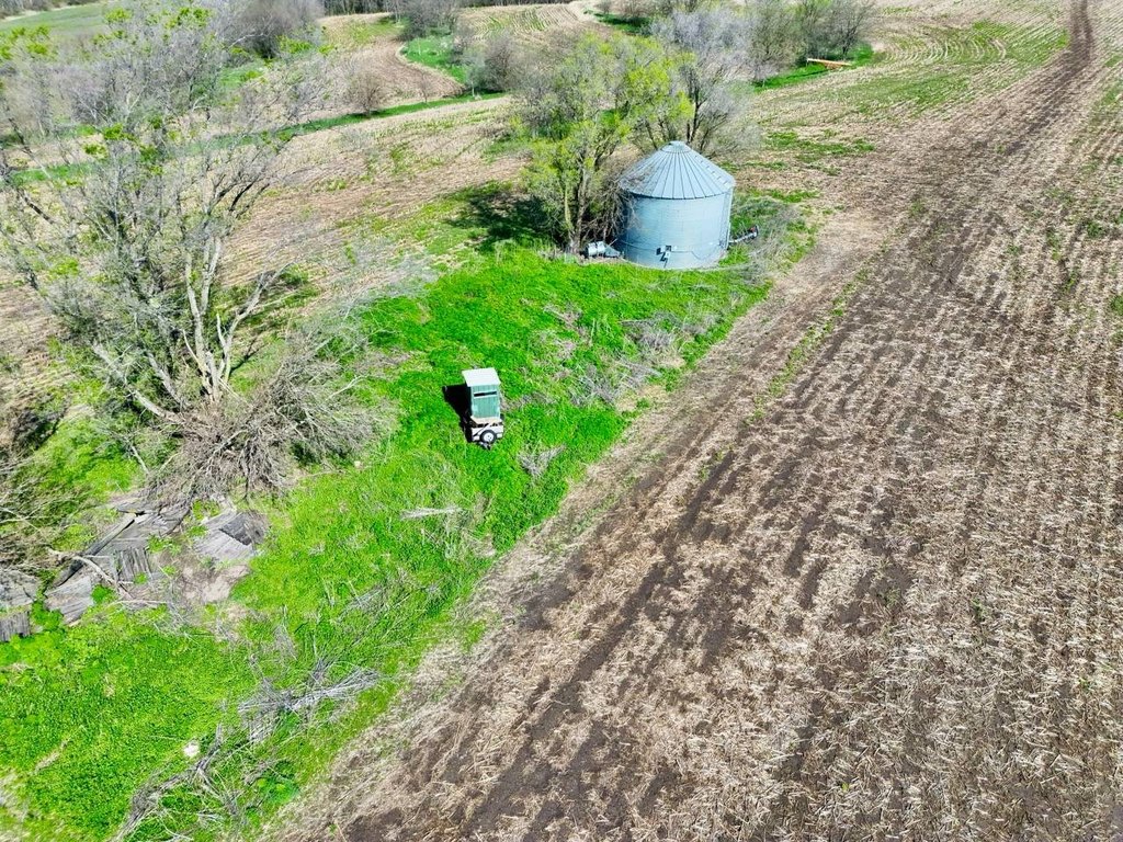
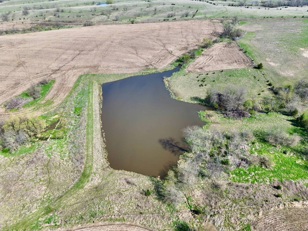
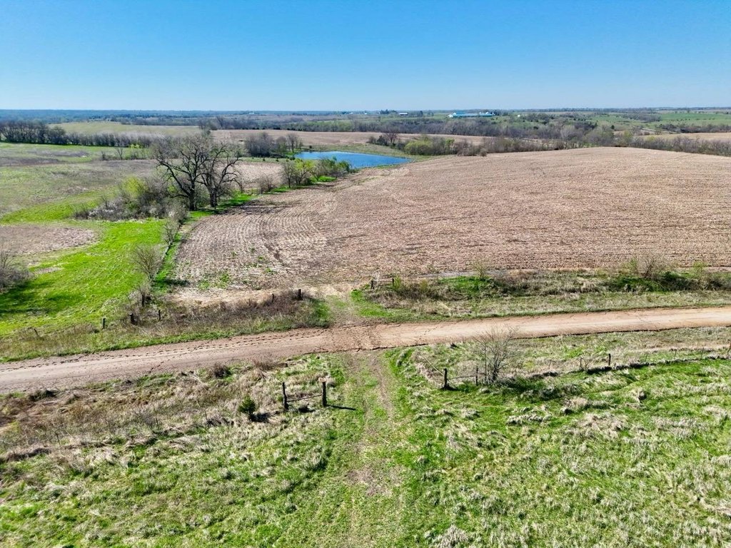
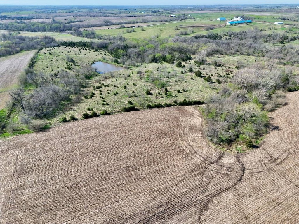
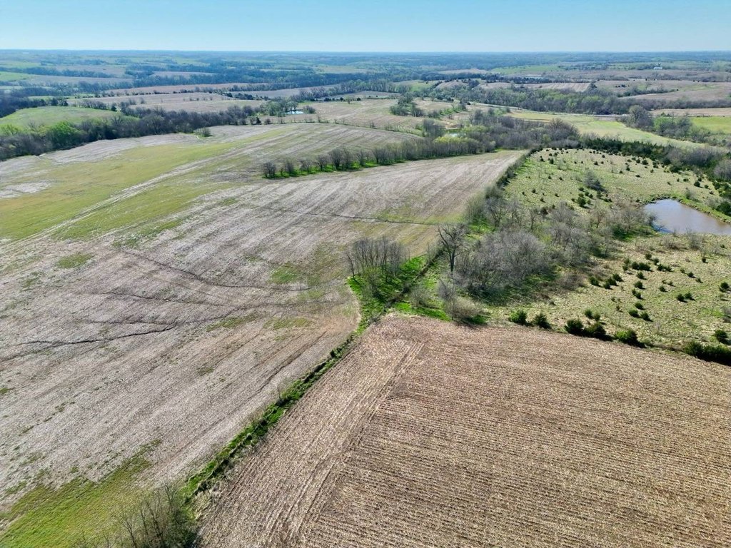
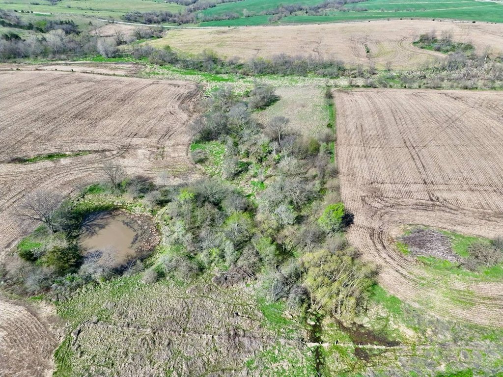
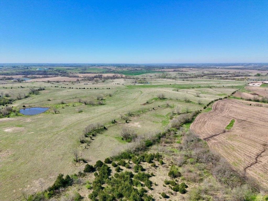
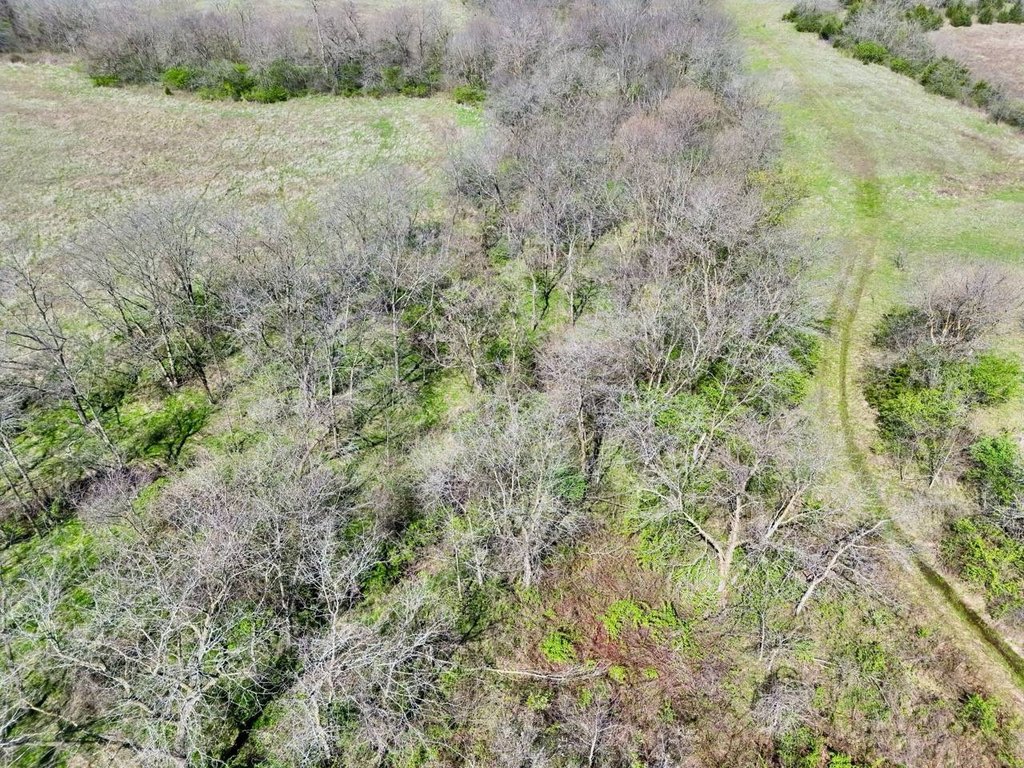
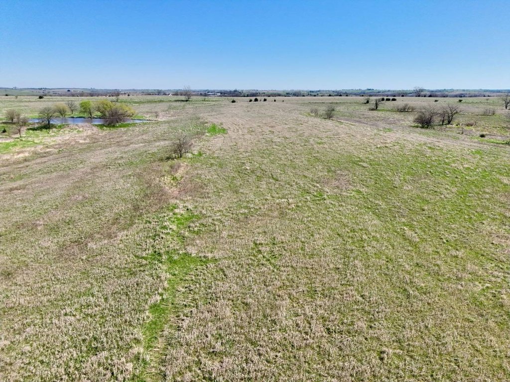
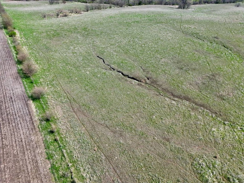
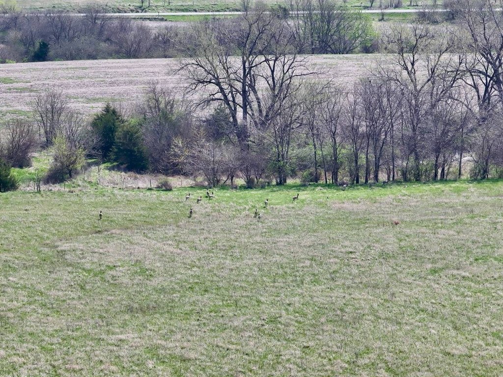
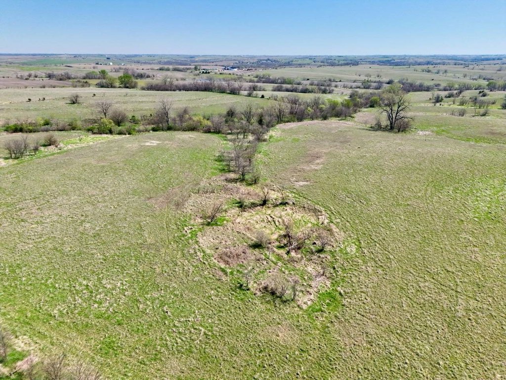
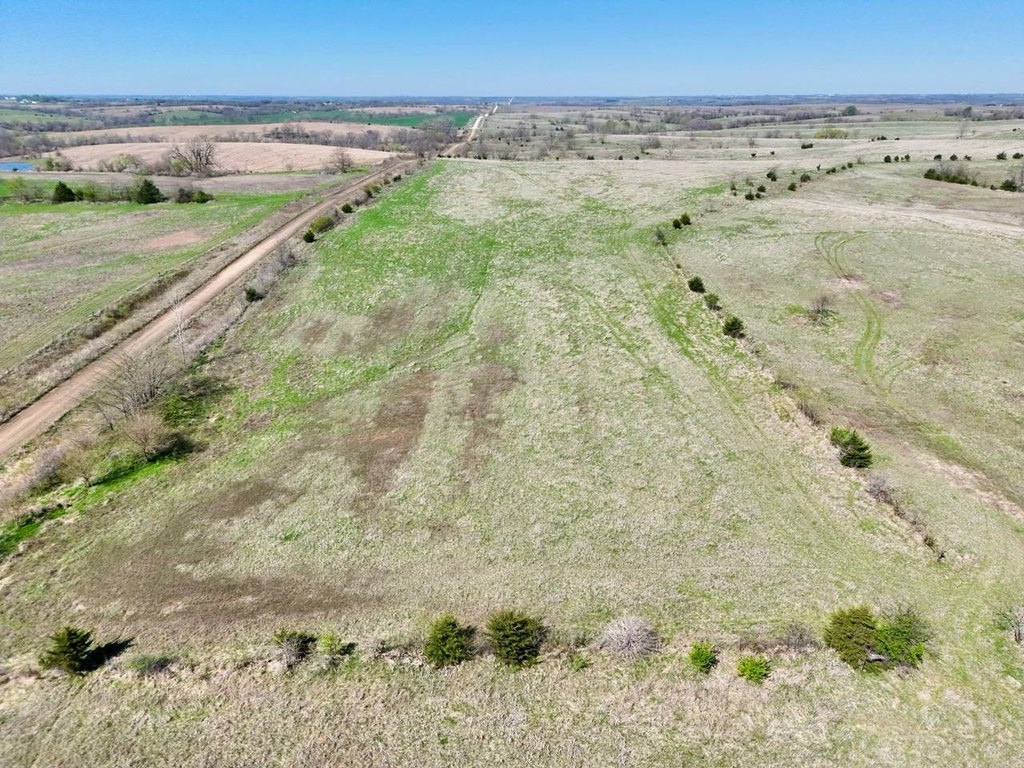
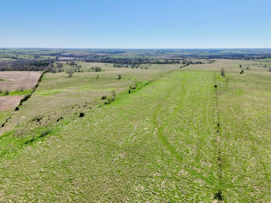
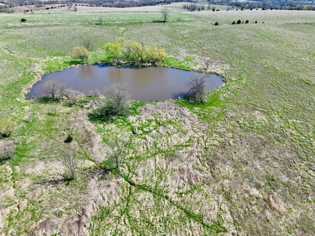
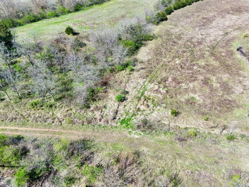
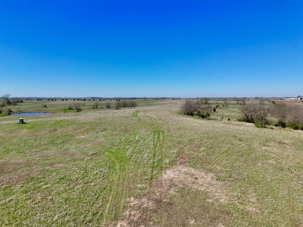
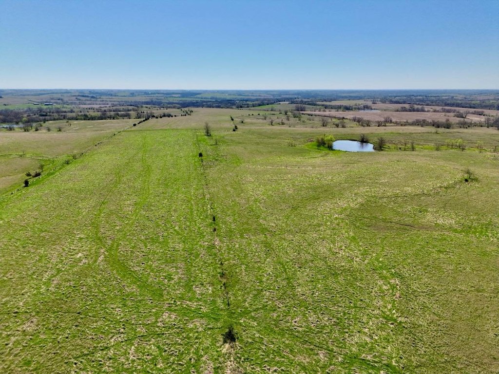
- Balanced mix of timber, pasture, and water with multiple ponds distributed throughout the property
- Tract 1: 442+/- acres with productive tillable acres plus several ponds
- Tract 2: 414+/- acres with a mix of tillable ground, timbered draws, open pasture, and multiple ponds
Overview
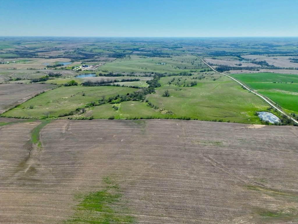
The property is located in Rice Township, Ringgold County, Iowa, and is presented as a contiguous southern Iowa landholding with multiple natural access points noted throughout the layout. The combination of productive tillable acres, established CRP contracts, and year-round pond water supports both agricultural usability and recreational use.
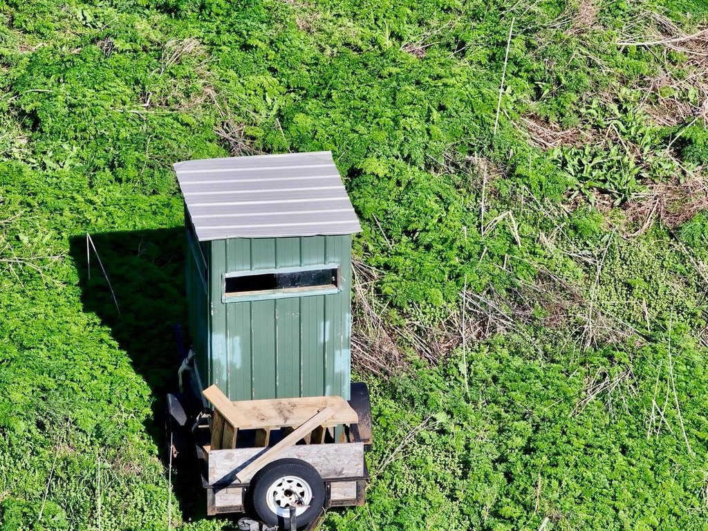
For operators and owners looking for flexibility, the three-tracked configuration supports different objectives, whether that means row-crop production, grazing, or managing for wildlife habitat. The listing also describes immediate recreational usability alongside opportunities for habitat improvement practices such as food plots, timber management, and strategic access enhancements. The presence of mature hardwood timber, CRP ground, and multiple ponds is positioned to support outdoor activities while maintaining meaningful land base for farm use.
Current Use by Public Records
Map
- City
- Redding
- County
- Ringgold
- State
- Iowa
- Longitude
- -94.326846
- Latitude
- 40.626395