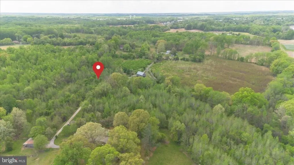
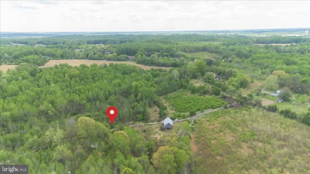
CLAGETT LANDING RD, Upper Marlboro, MD 20774
- Added:
- Jun 9, 2026
- Days on Market:
- 2
- Last Refresh:
- Jun 10 at 7:06 am
Property Features for CLAGETT LANDING RD
General Information
- Property type
- Farm
- Property subtype
- Farm
- Standard status
- Active
- Lot size
- 6.32 Acres
Taxes and HOA fees
- Tax Annual Amount
- 2157
Building Details
- Architectural style
- Other
Listing agent Melissa L Lambert (888) 536-0216
Listing office Frederick/N. Market St. 244 N. Market Street, MD (888) 536-0216
Listing date Jun 9, 2026
Copyright © 2026 Long & Foster Real Estate. All rights reserved. All information provided by the listing agent/broker is deemed reliable but is not guaranteed and should be independently verified.
HighLights
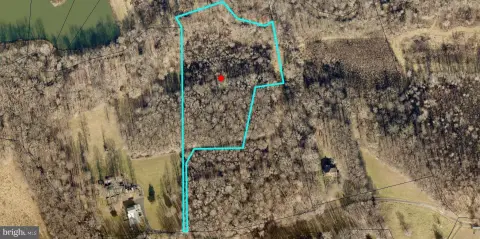
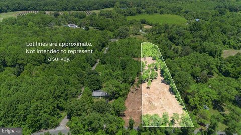
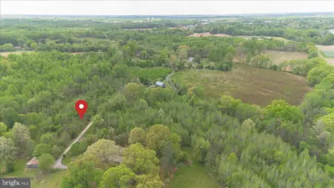
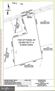
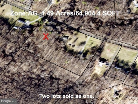
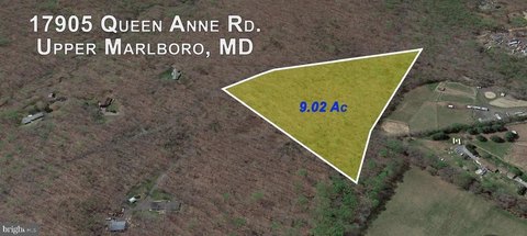
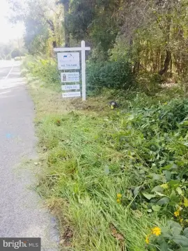
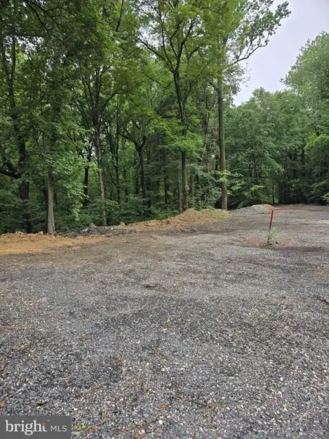
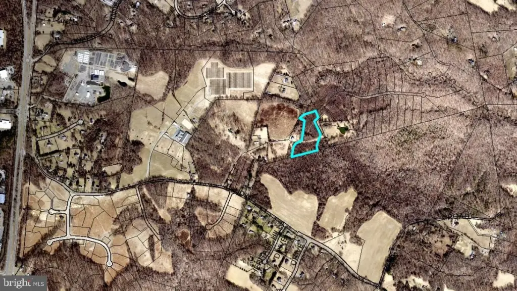
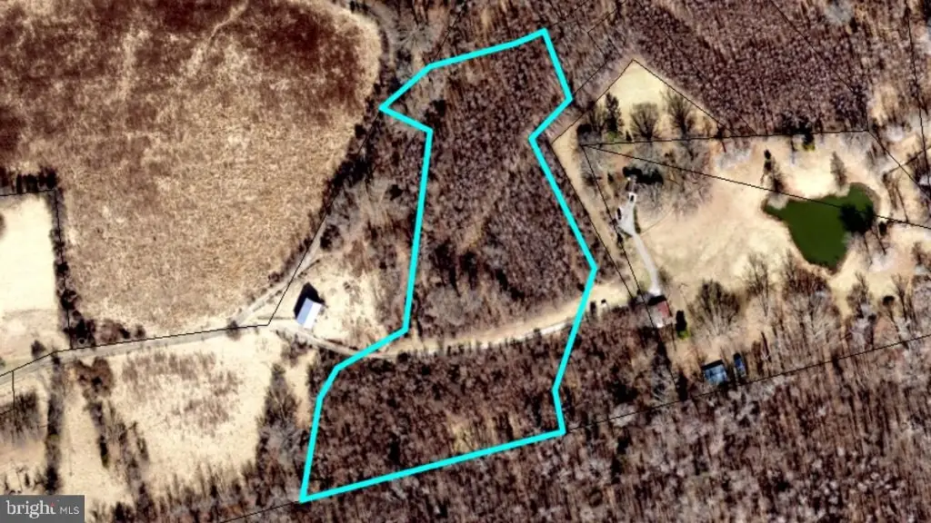
- 6.3‑acre parcel in Upper Marlboro with a private, scenic setting
- Adjacent parcel available for purchase for buyers seeking additional acreage or flexibility
- Soil evaluations and perc testing being coordinated with the Prince George's County Health Department
- Buyer to have a limited study period to consult with applicable county agencies about potential development considerations
- Convenient access near major commuter routes and Joint Base Andrews, plus nearby Washington metropolitan area amenities
Overview
The land is situated in a private, scenic setting surrounded by established properties and natural beauty. The seller notes the parcel’s access to major commuter routes and proximity to Joint Base Andrews and the Washington metropolitan area amenities.
This property may be of interest to buyers seeking space for personal use or those exploring longer-term options tied to potential future development. Because the seller specifically directs buyers to independently verify zoning, permitted uses, utility availability, development potential, and other material information, prospective purchasers should perform their own due diligence to confirm how the parcel can fit their intended use. An adjacent parcel is also available for purchase, which may offer flexibility for buyers looking to control additional acreage.
Current Use by Public Records
Map
- City
- Upper Marlboro
- County
- Prince George's
- State
- Maryland
- Longitude
- -76.6966462
- Latitude
- 38.8710898