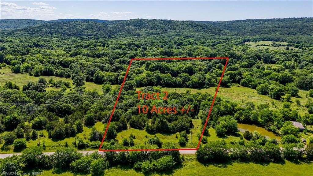
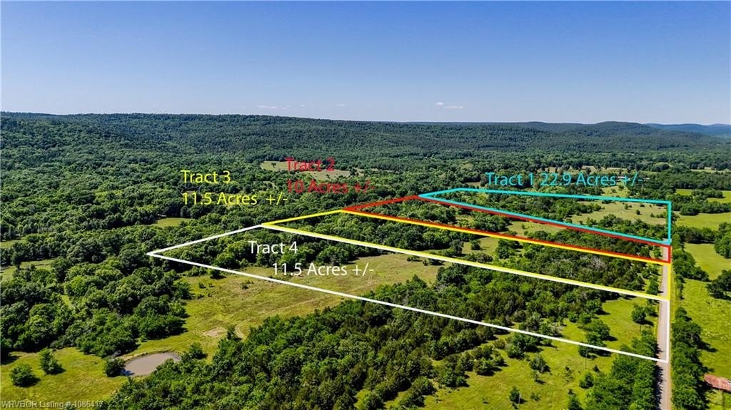
Tract 2 N 4095 RD, Moyers, OK 74557
- Added:
- Jan 14, 2026
- Days on Market:
- 141
- Last Refresh:
- Jun 4 at 12:06 am
Property Features for Tract 2 N 4095 RD
General Information
- Property type
- Land
- Property subtype
- Other
- Standard status
- Active
- APN
- 0000-04-02S-15E-0-011-01
- Lot size
- 10.00 Acres
Taxes and HOA fees
- Tax Description
- TRACT 2 - 10 ACRES M/L SEE PLAT MAP
- Tax Annual Amount
- 20
Utilities
- Sewer type
- Septic Needed
Listing agent Elizabeth Jones License #176886
Listing office Cardenas & Associates Realty LLC 1302 N Broadway St, Poteau, OK (918) 649-0234
Listing date Jan 14, 2026
Copyright © 2026 Western River Valley Board of REALTORS®. All rights reserved. All information provided by the listing agent/broker is deemed reliable but is not guaranteed and should be independently verified.
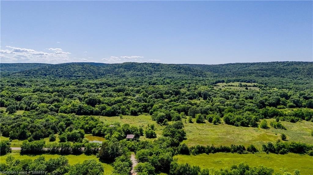
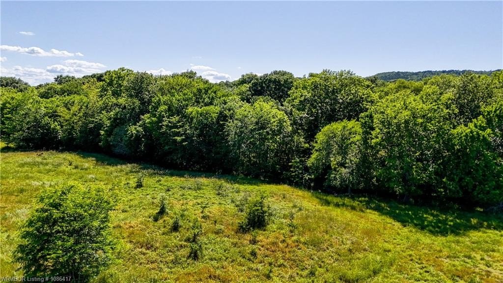
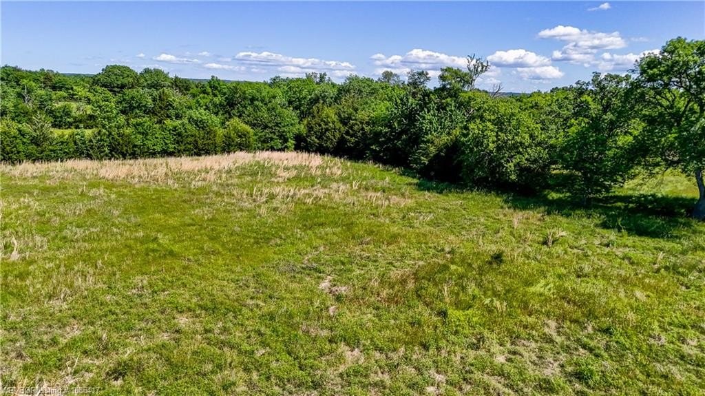
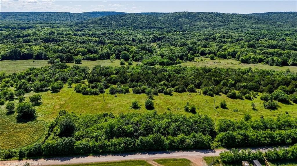
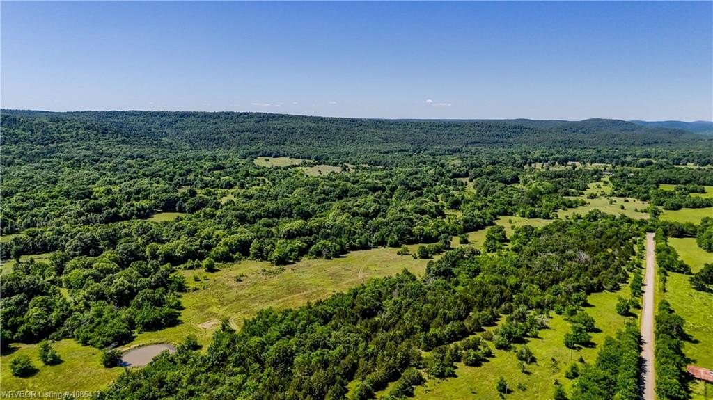
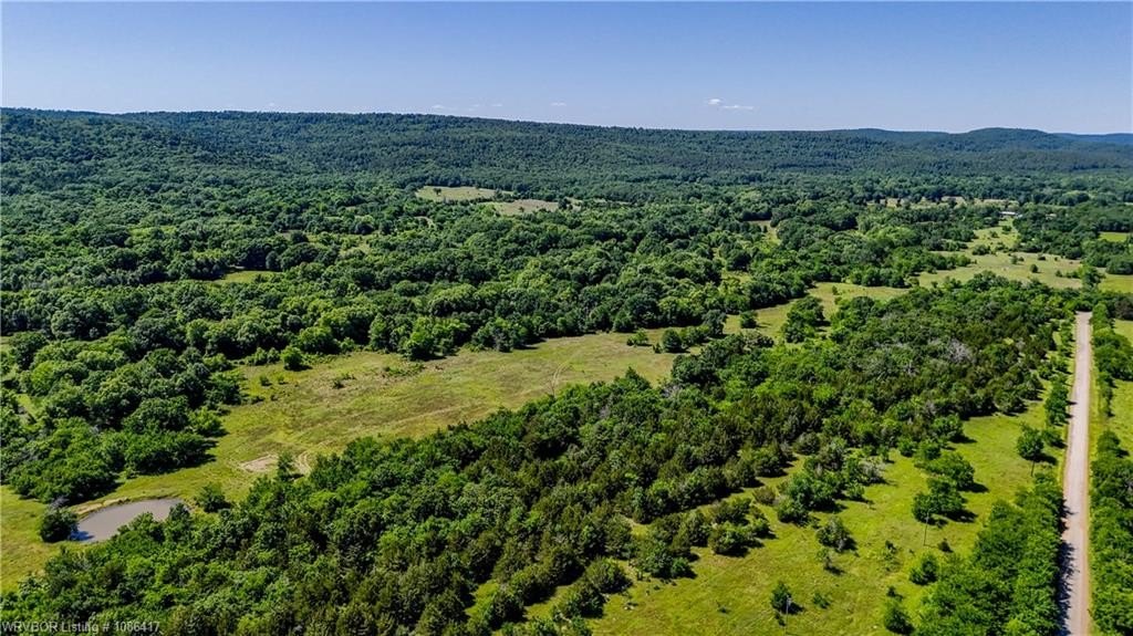
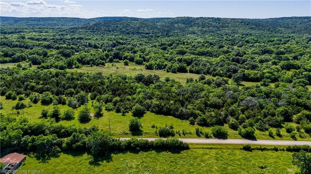
HighLights
- Owner financing available
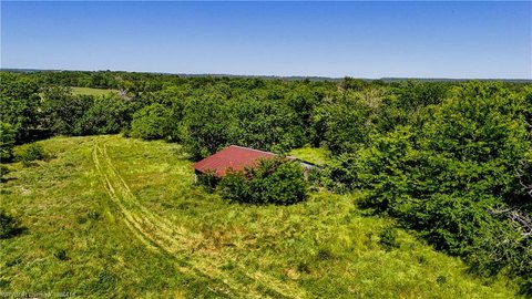
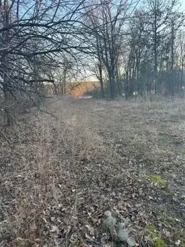
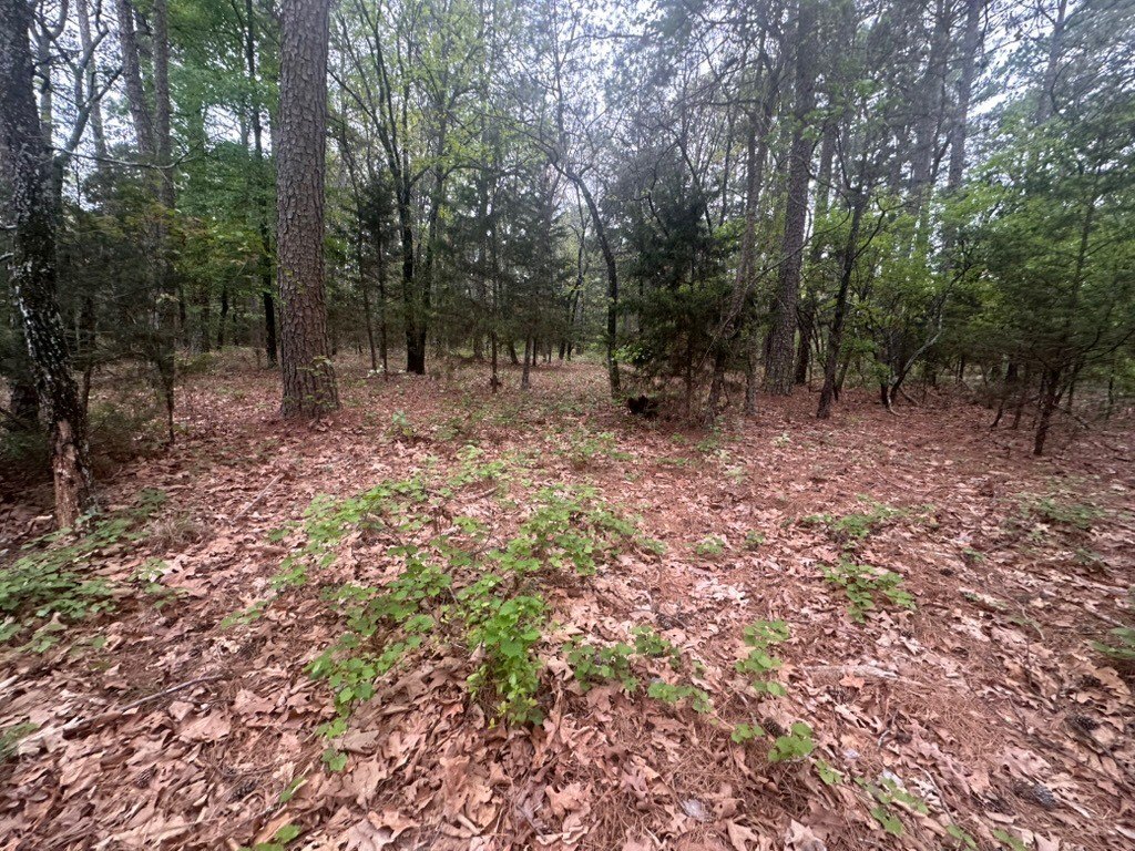
- Unrestricted land suitable for building or recreational vehicles
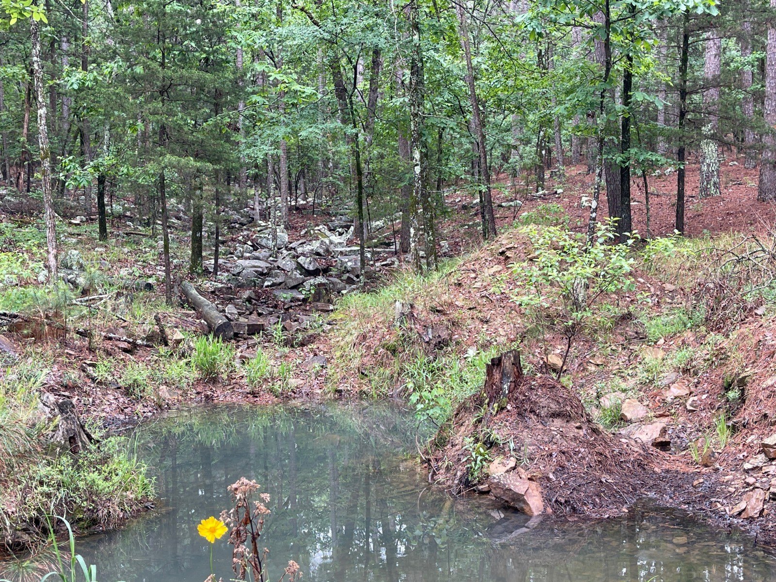
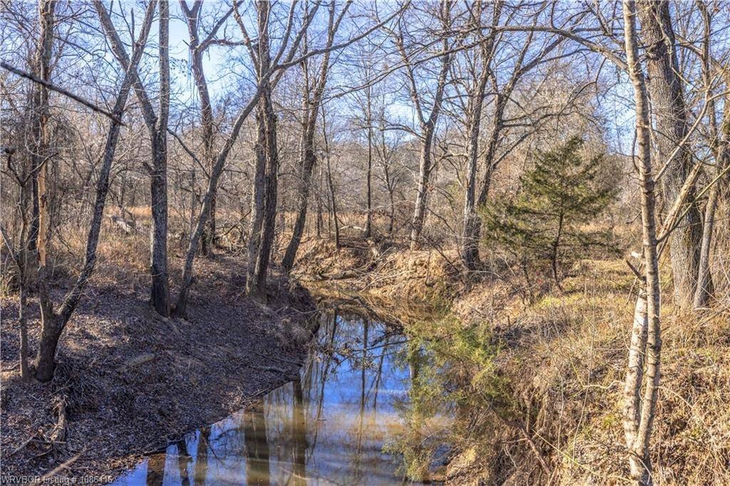
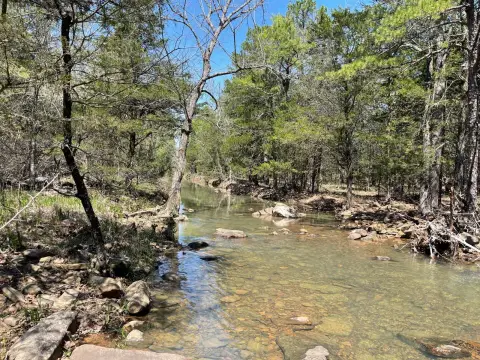
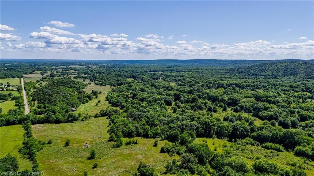
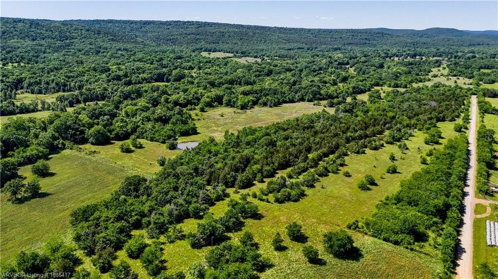
- Clear Creek and smaller stream on the property
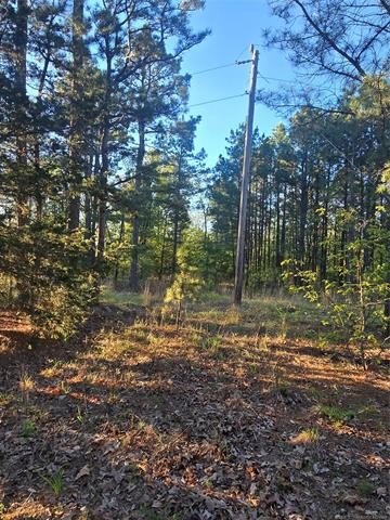
- Power at the road
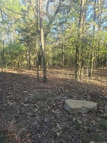
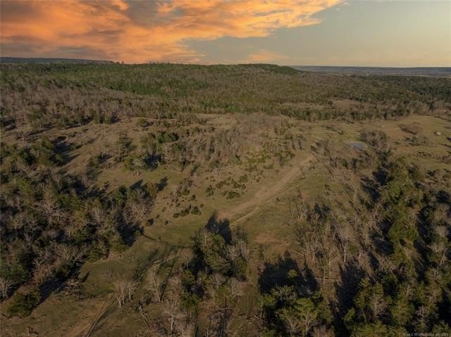
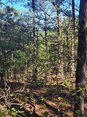
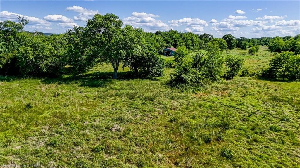
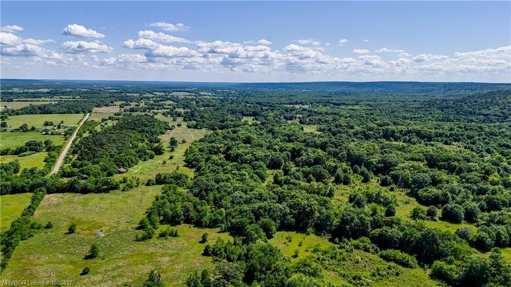
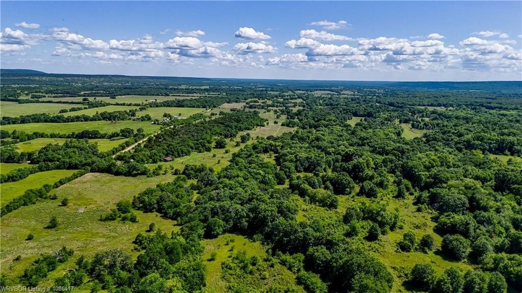
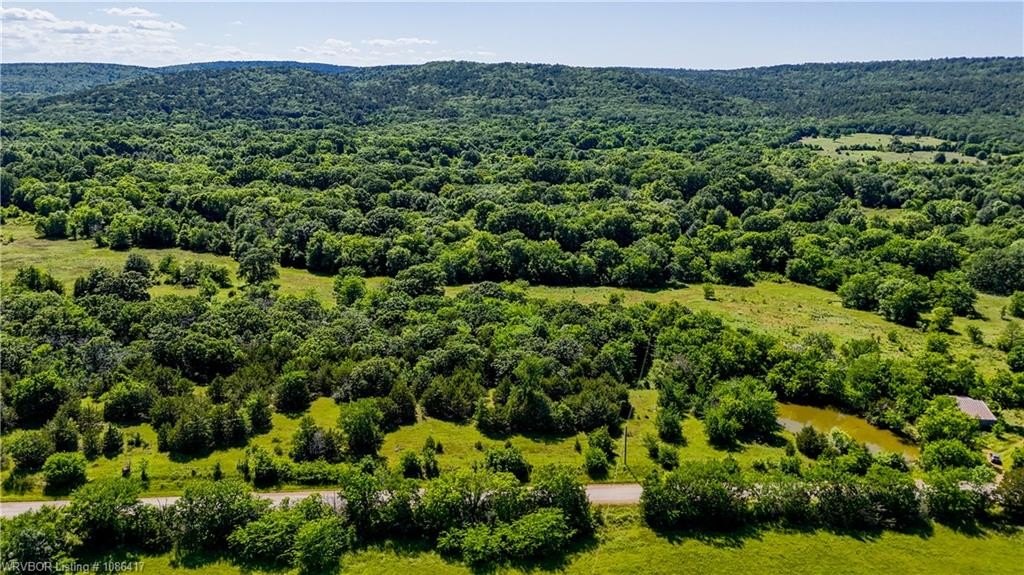
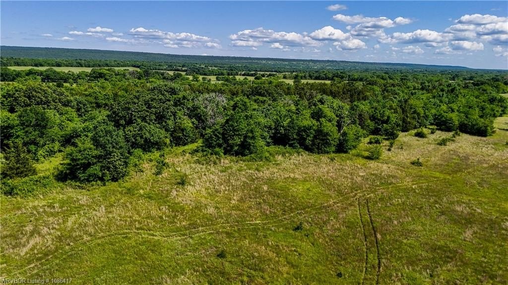
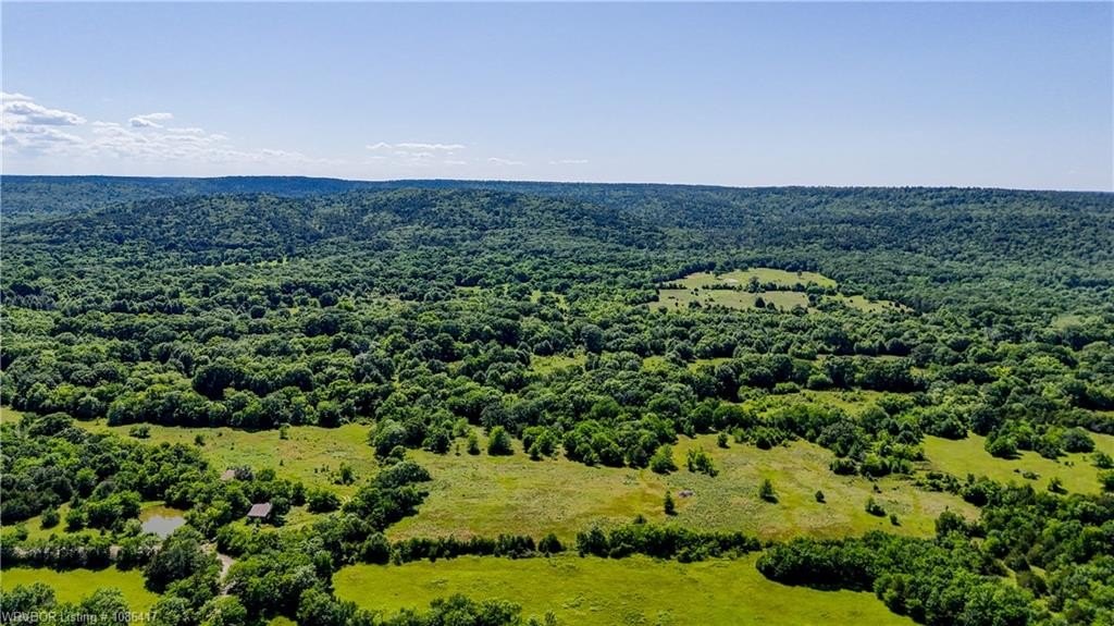
- Seclusion with mountain views and mature trees (oak, cedar, pine)
- Close proximity to multiple lakes (Ozzie Cobb, McGee Creek, Sardis Lake)
Overview
Located in Moyers, Oklahoma, the property is described as less than a 30-minute drive to Antlers for restaurants and shopping. The surrounding area is noted for nearby lakes and outdoor recreation, including Lake Ozzie Cobb, McGee Creek State Park, and Sardis Lake. Access is supported by the availability of utilities at the road, and the natural features contribute to a more private, off-the-beaten-path feel.
For buyers considering a getaway property, this site is positioned as a practical choice: power is at the road, the land is unrestricted, and the creek and tree cover add year-round character. With clear room for a future build and space that can support light agricultural use, it may also appeal to investors or owner-operators seeking a low-pressure hold or a personal-use development plan. Owner financing is available, and showings can be scheduled by request.
Current Use by Public Records
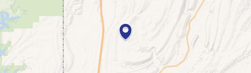
Map
- City
- Moyers
- County
- Pushmataha
- State
- Oklahoma
- Longitude
- -95.6925
- Latitude
- 34.373