Township Rd #16-J, McArthur, OH 45651

- Added:
- May 11, 2026
- Days on Market:
- 55
- Last Refresh:
- Jul 4 at 9:06 am
Property Features for Township Rd #16-J
General Information
- Property type
- Land
- Property subtype
- Other
- Standard status
- Active
- Lot size
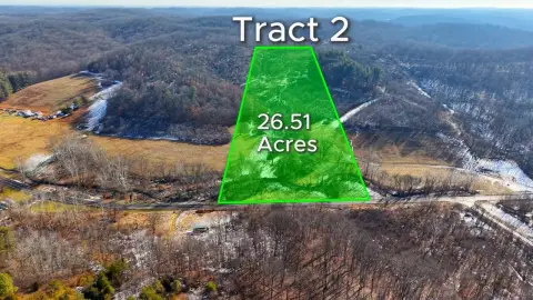
- 25.54 Acres
Taxes and HOA fees
- Tax Annual Amount
- 342
Utilities
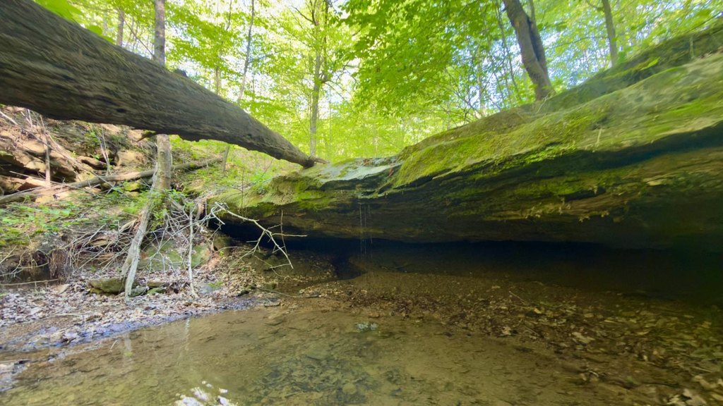
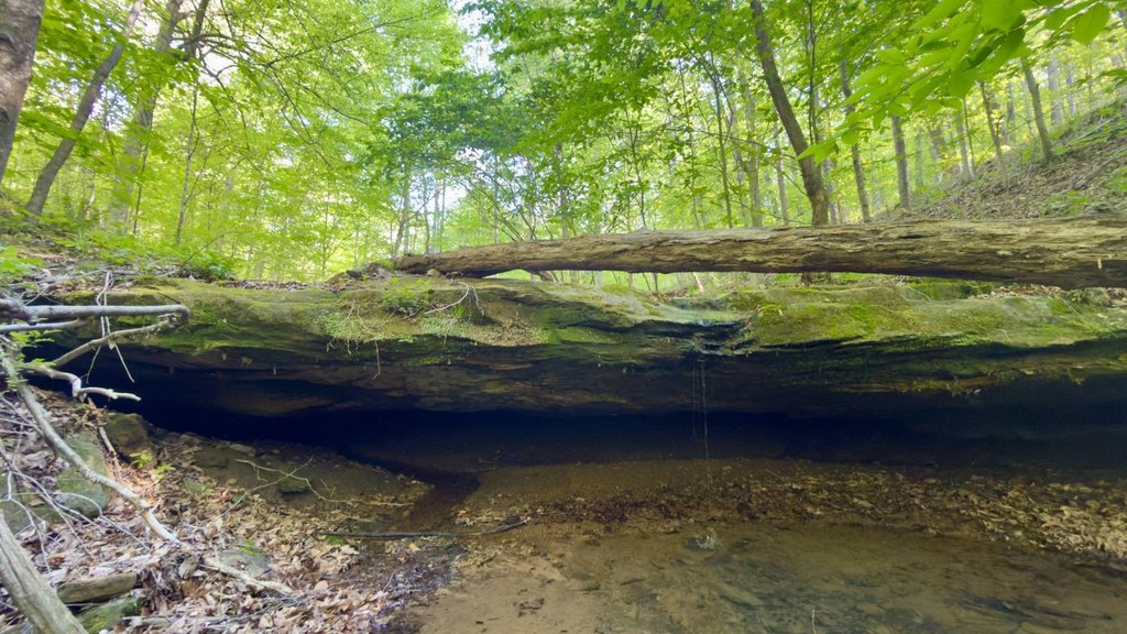
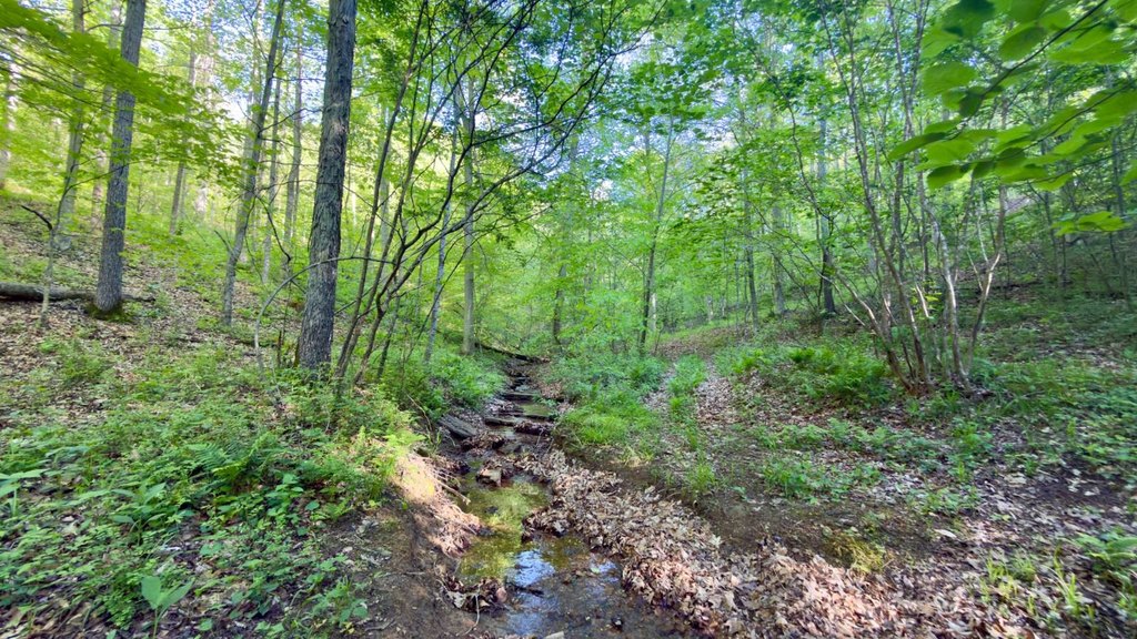
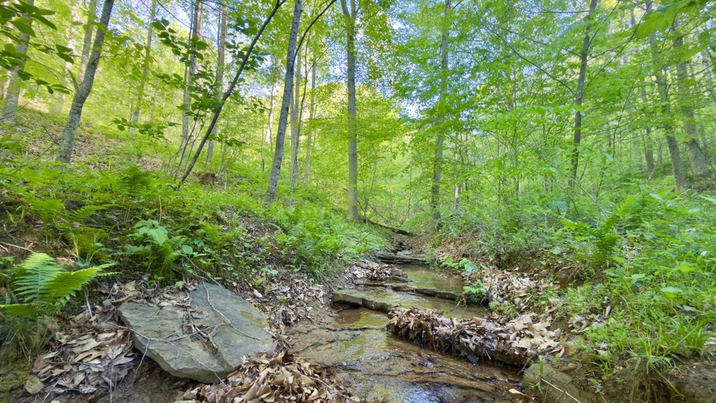
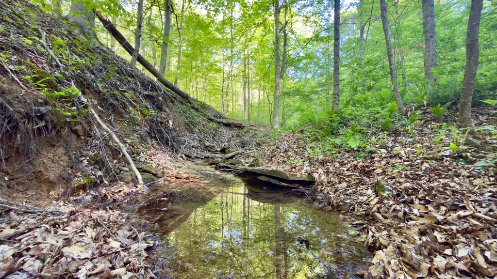
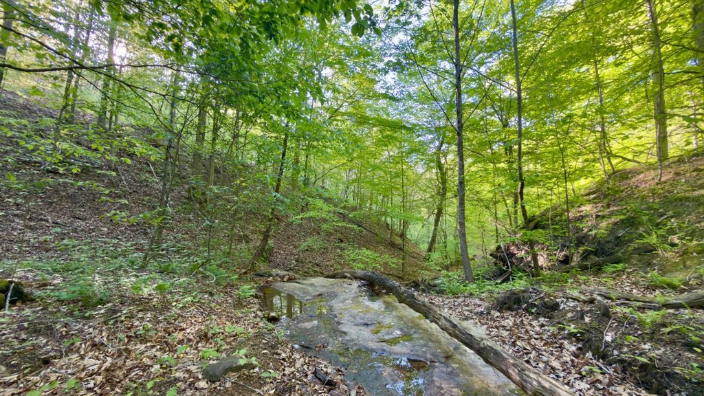
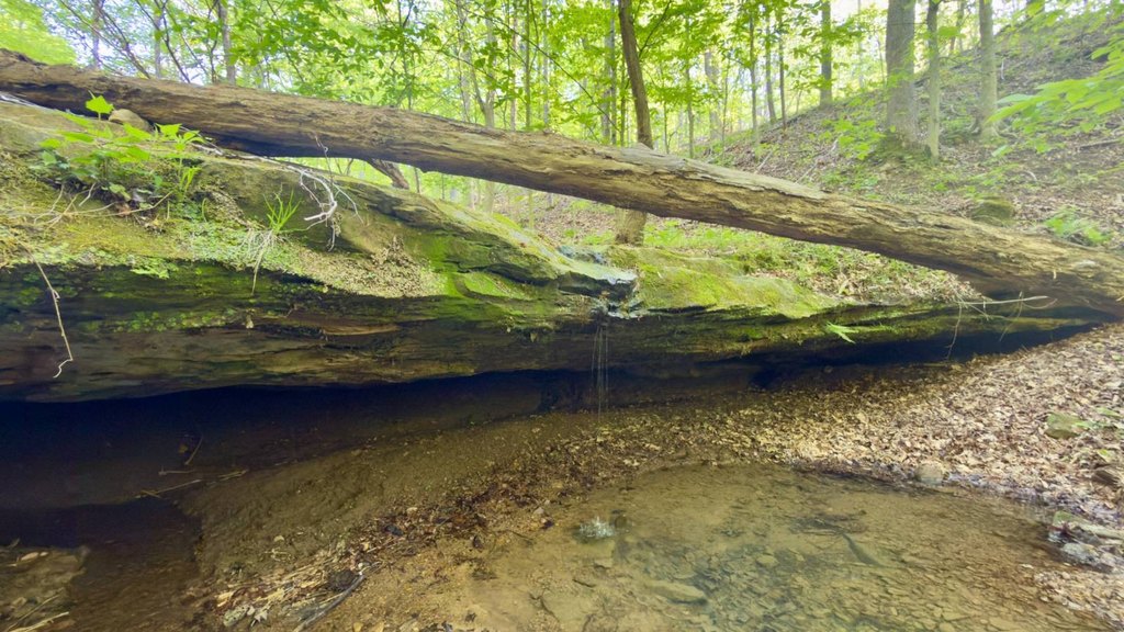
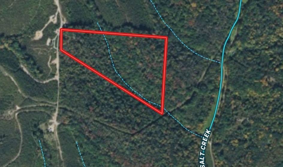
- Water front features
- Creek
Listing agent Spencer Walton Flowers (740) 352-3691
Listing office Buckeye Land Sales McArthur, OH (866) 341-5263
Listing date May 11, 2026
Copyright © 2026 My State MLS. All rights reserved. All information provided by the listing agent/broker is deemed reliable but is not guaranteed and should be independently verified.
HighLights
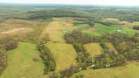
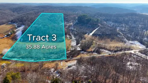
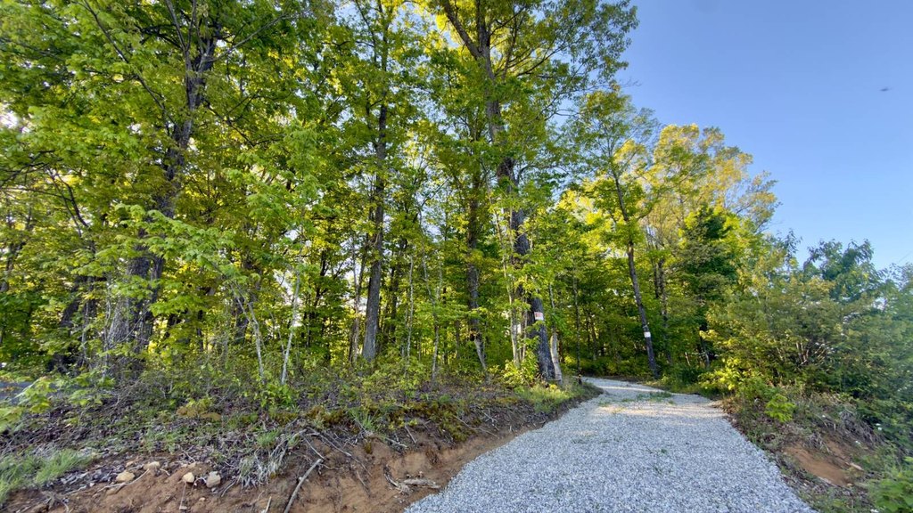
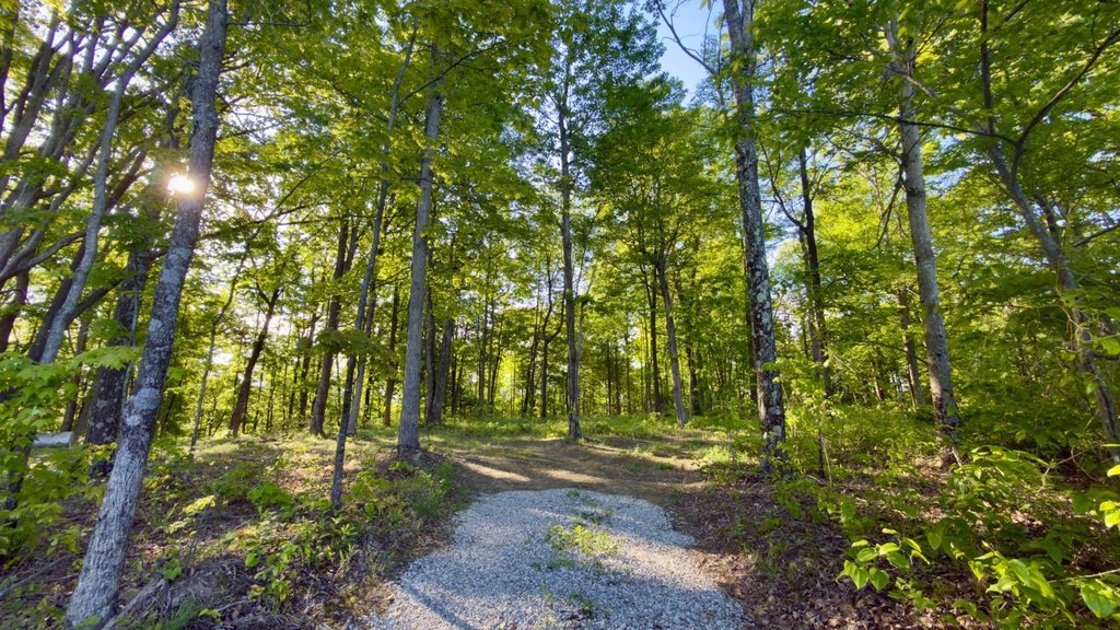
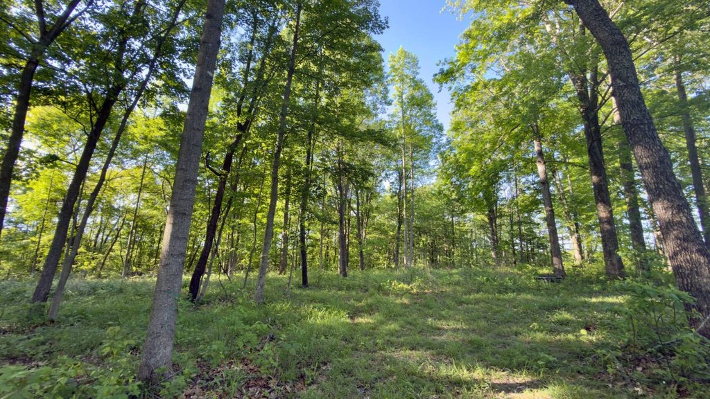
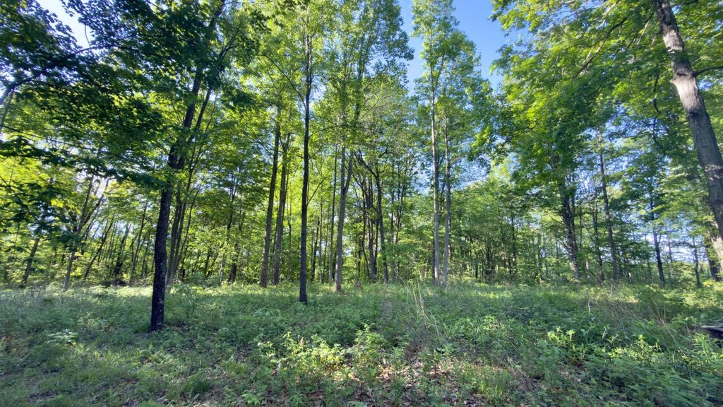
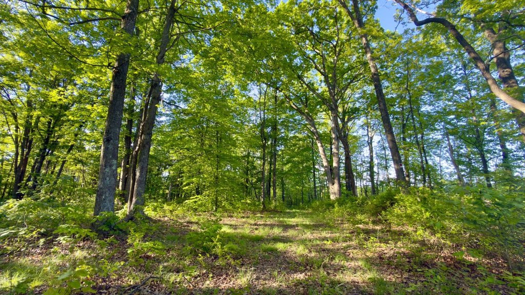
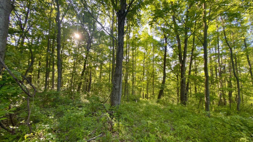
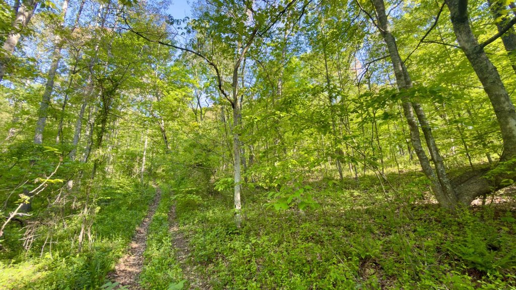
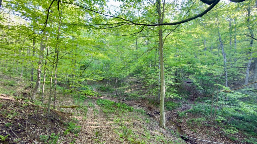
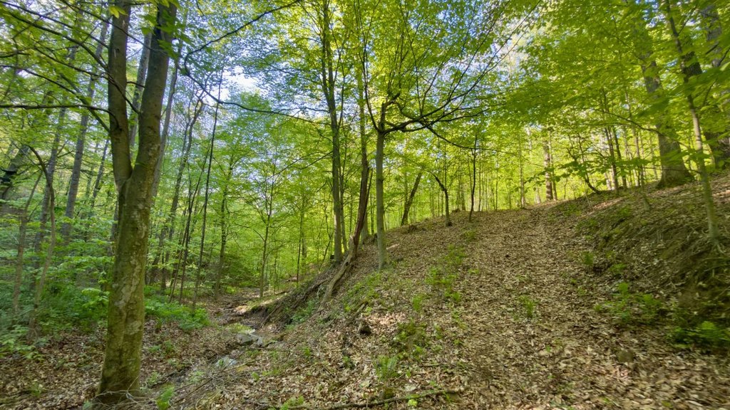
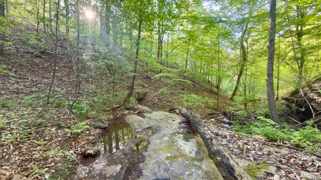
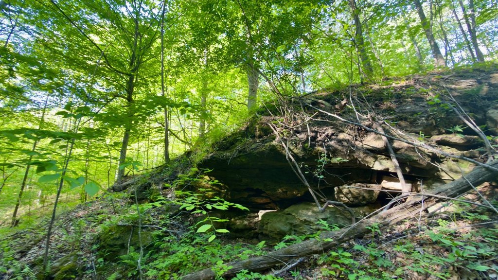
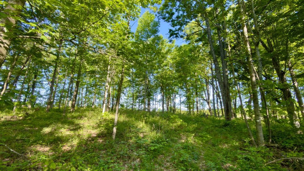
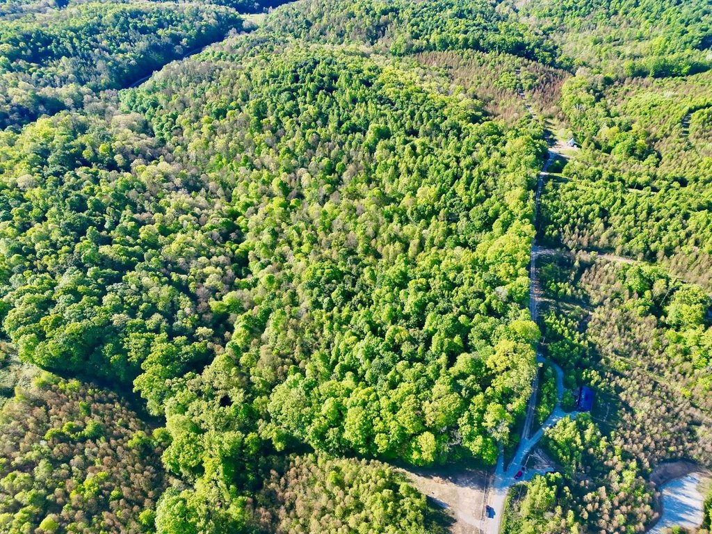
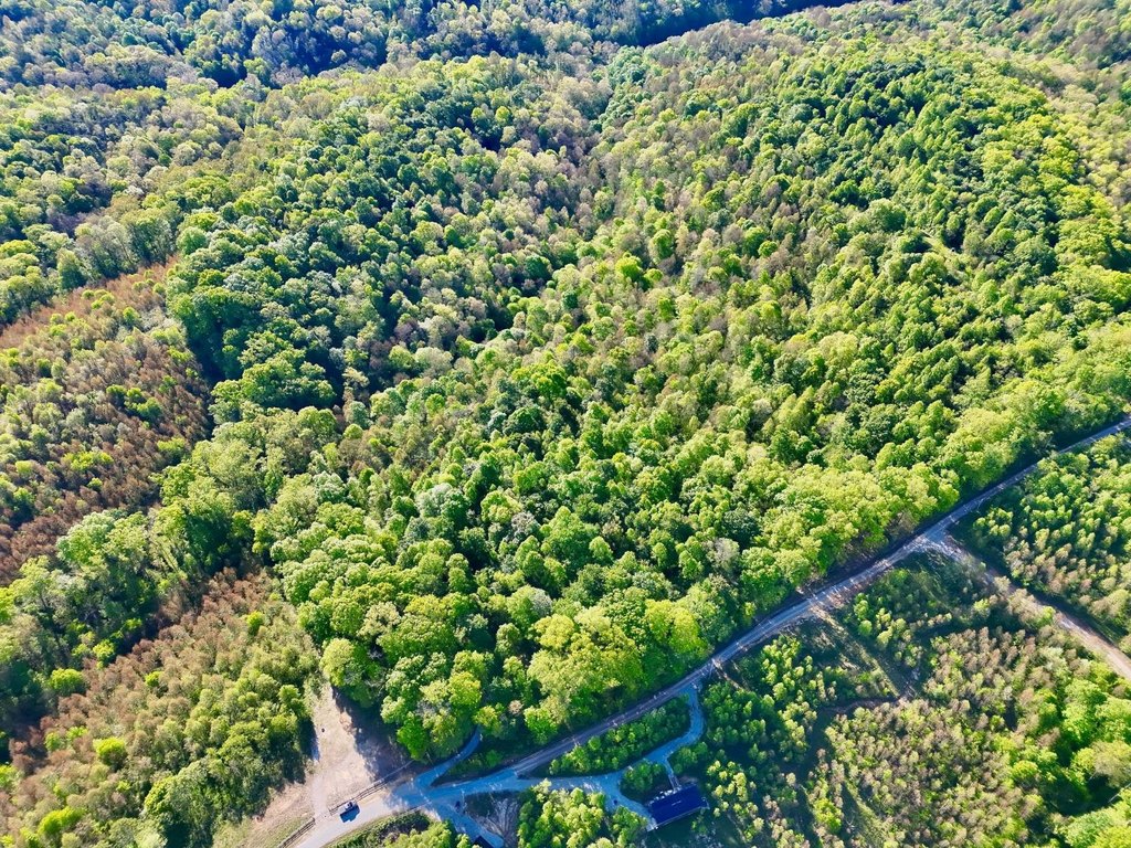
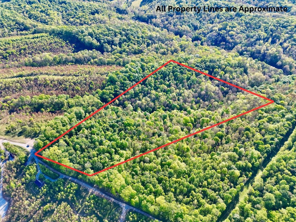
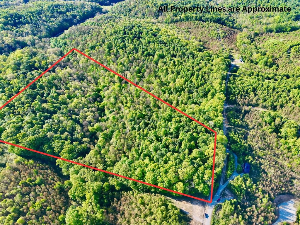
- 25.536+/- acre vacant property with no existing structures or prior development.
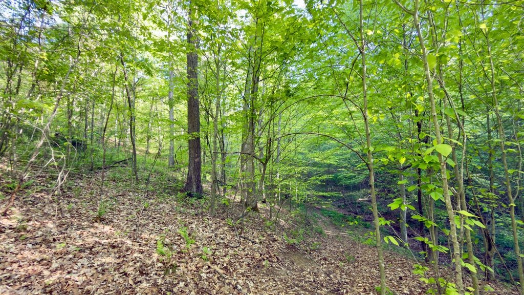
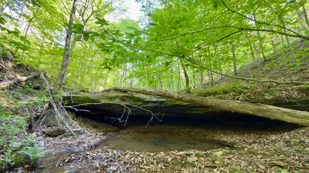
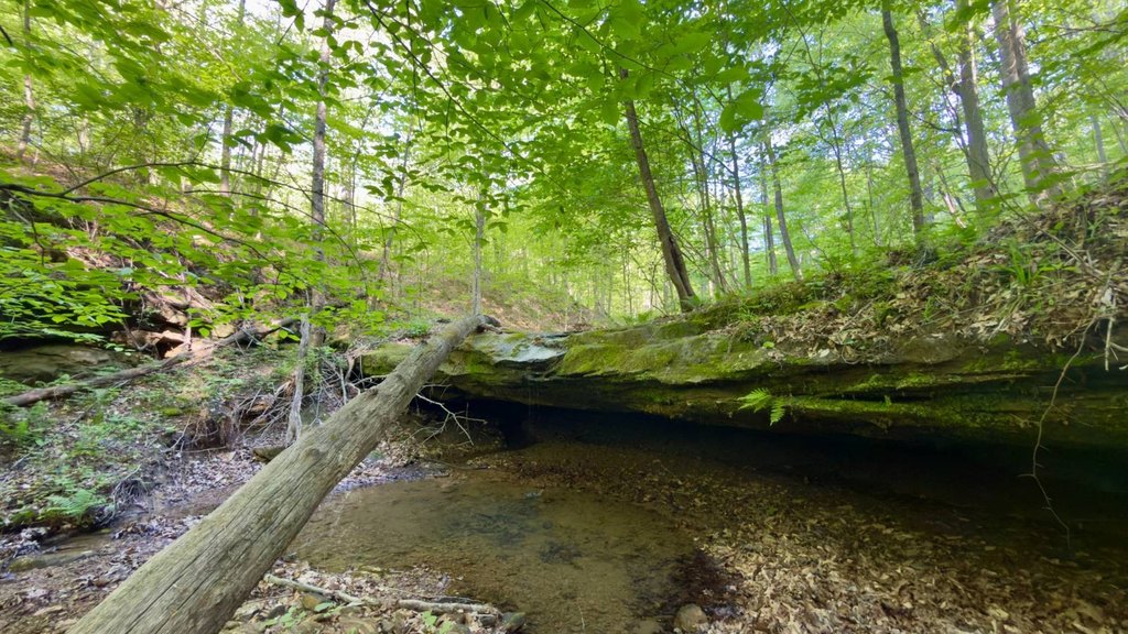
- Waterfront feature: creek runs through the property (creek present via creek bed).
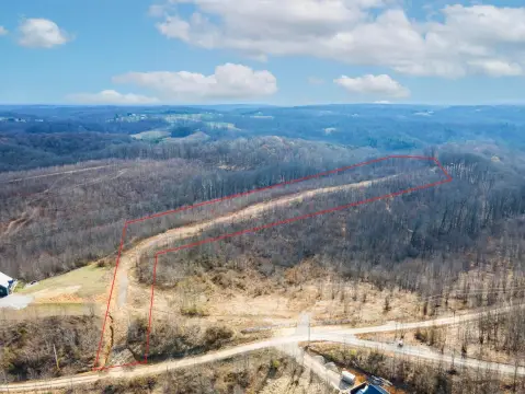
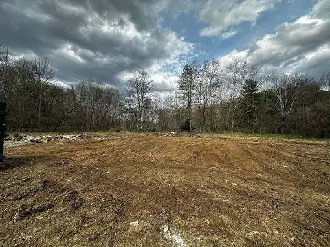
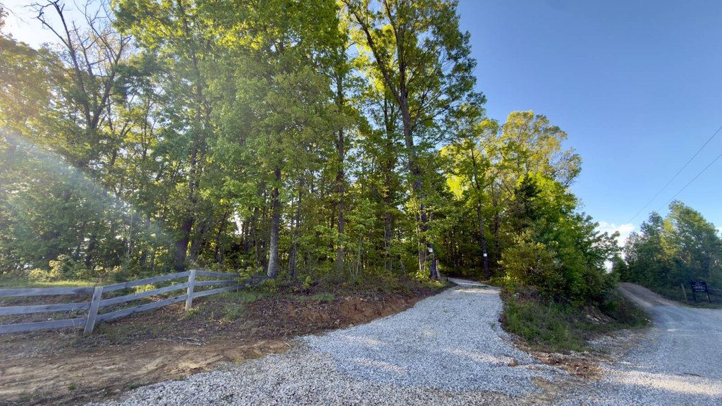
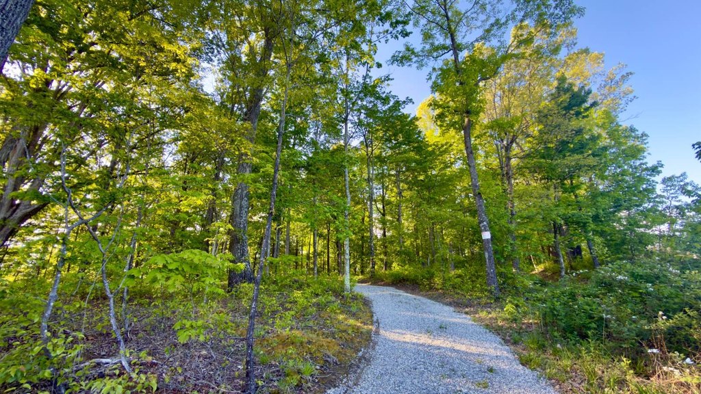
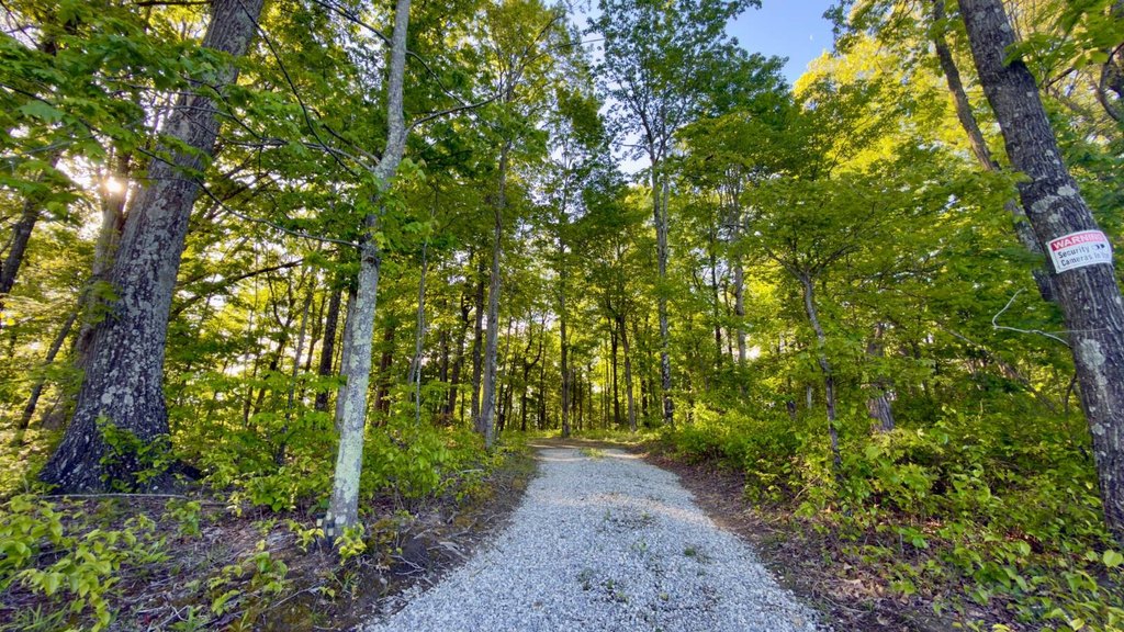
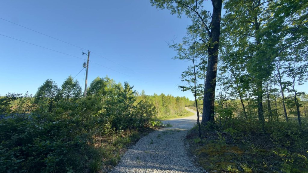
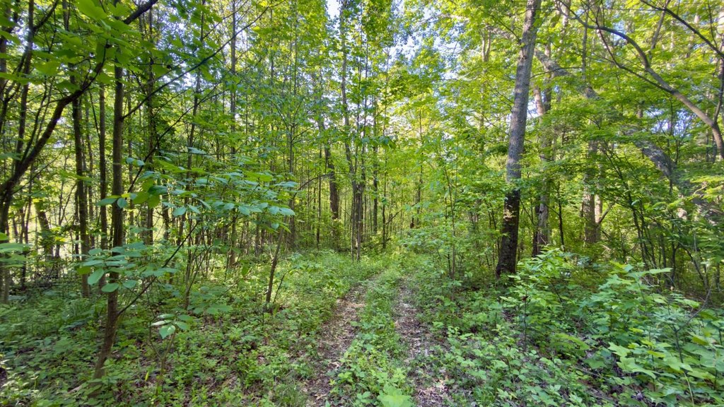
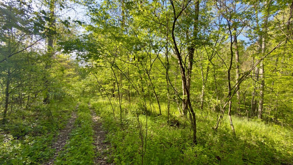
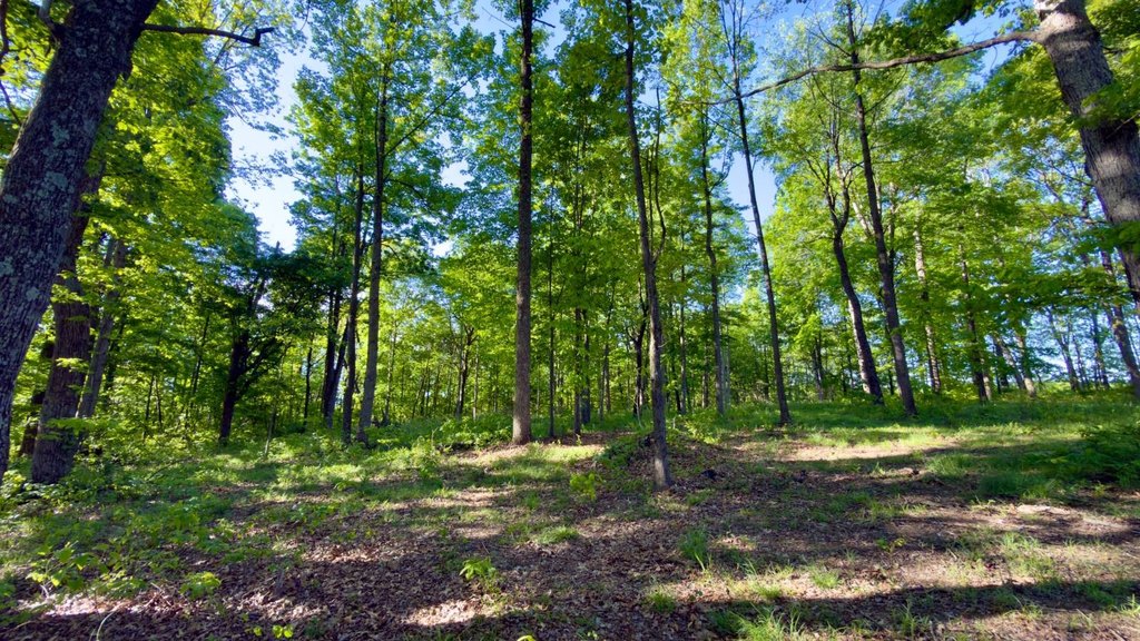
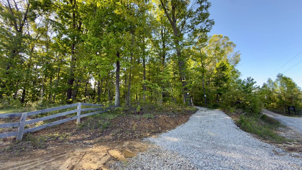
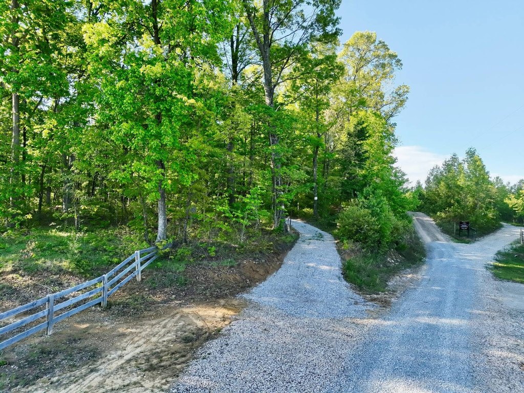
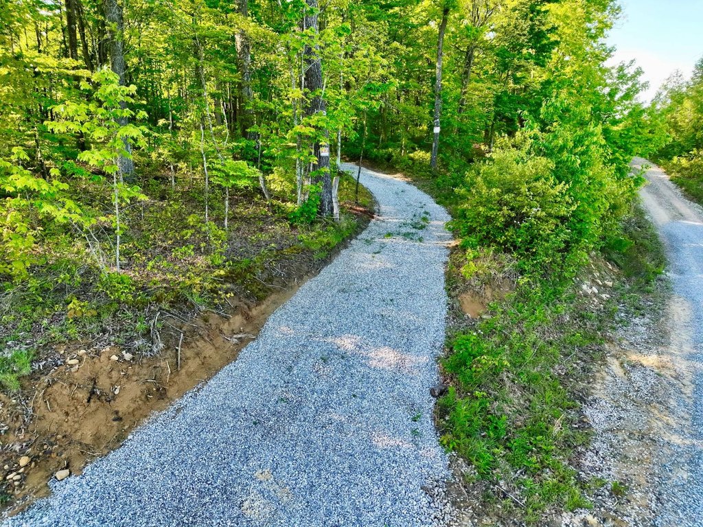
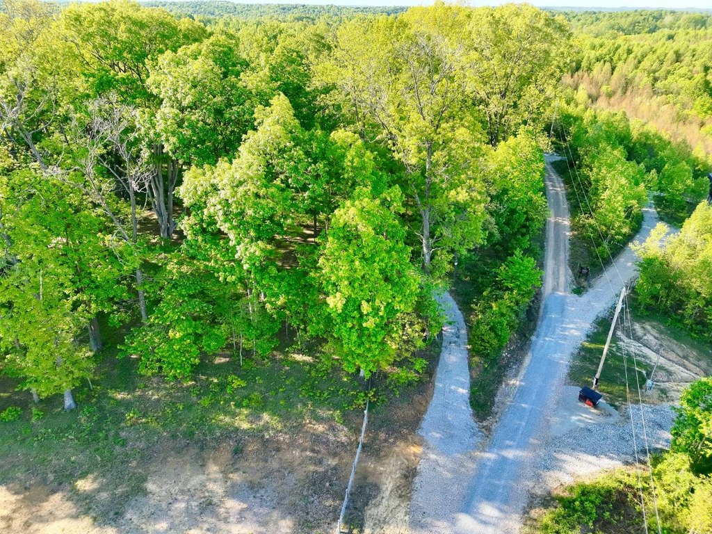
- New gravel entrance installed; electric service available at the road.
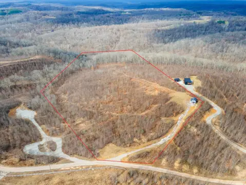
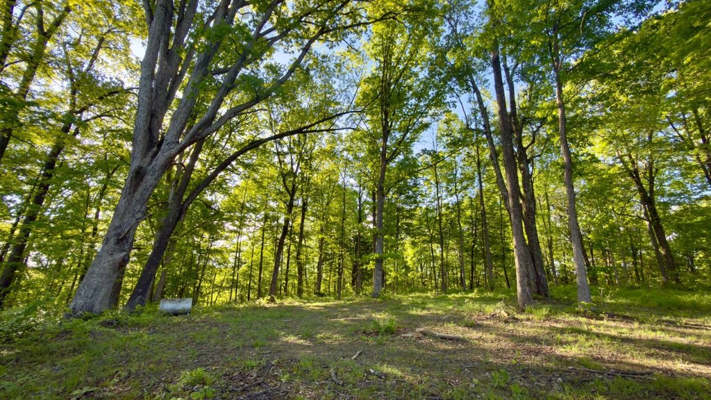
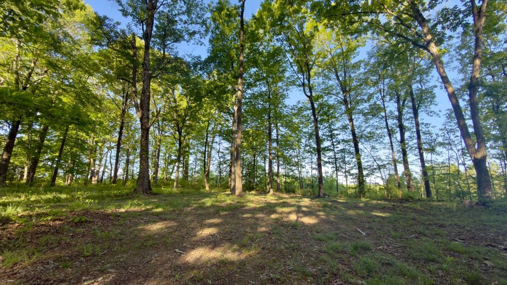
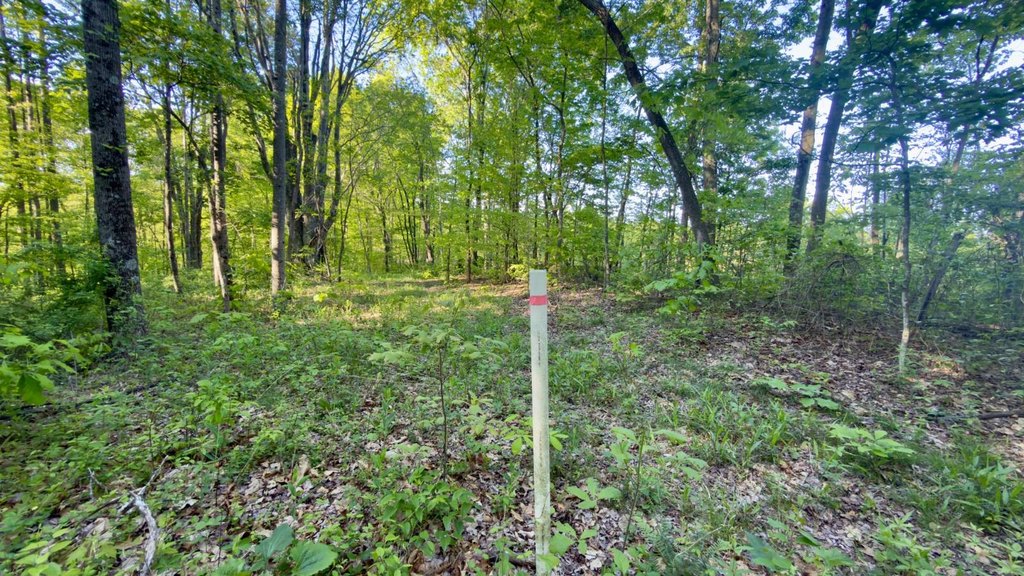
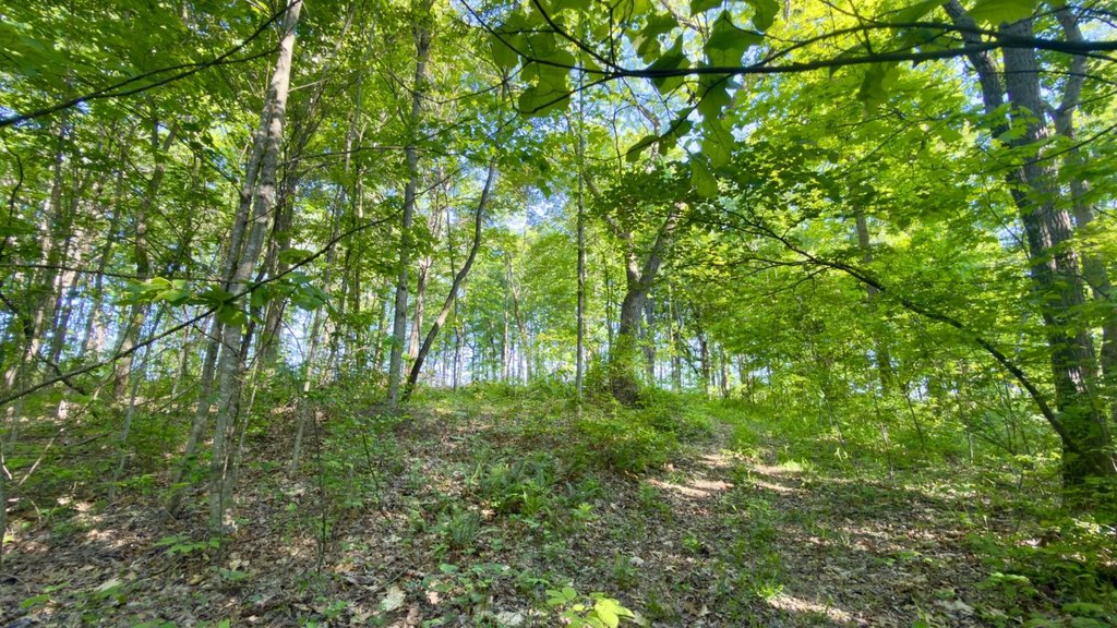
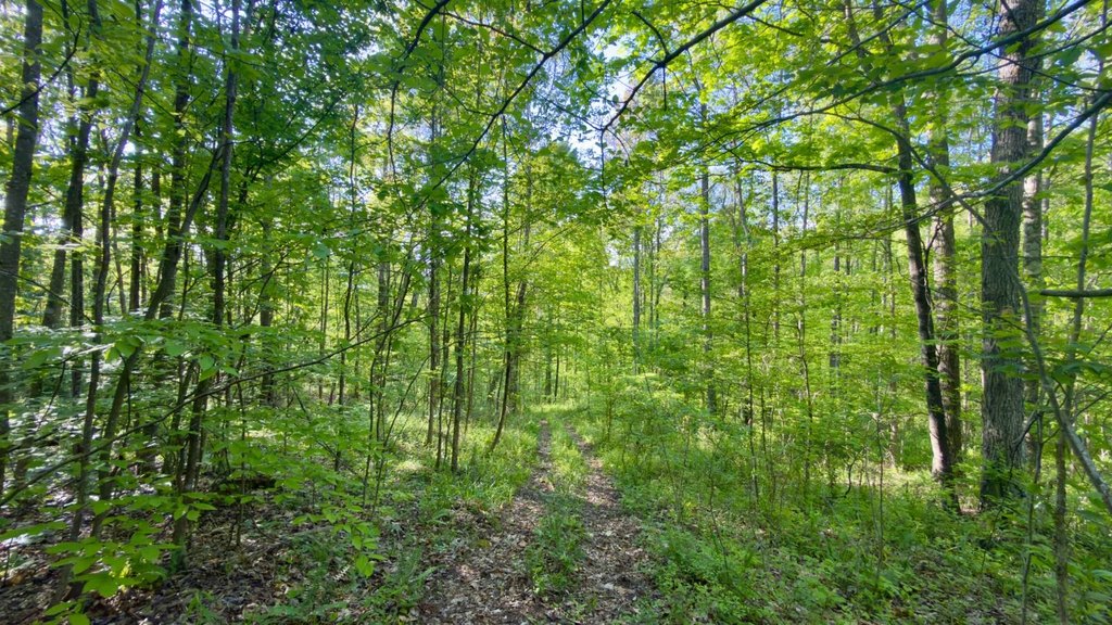
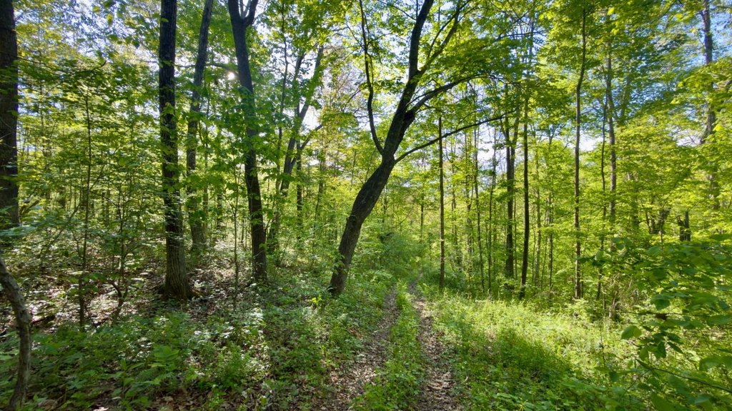
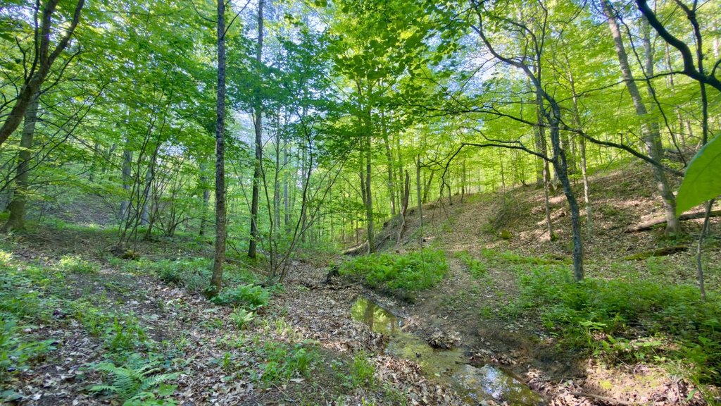
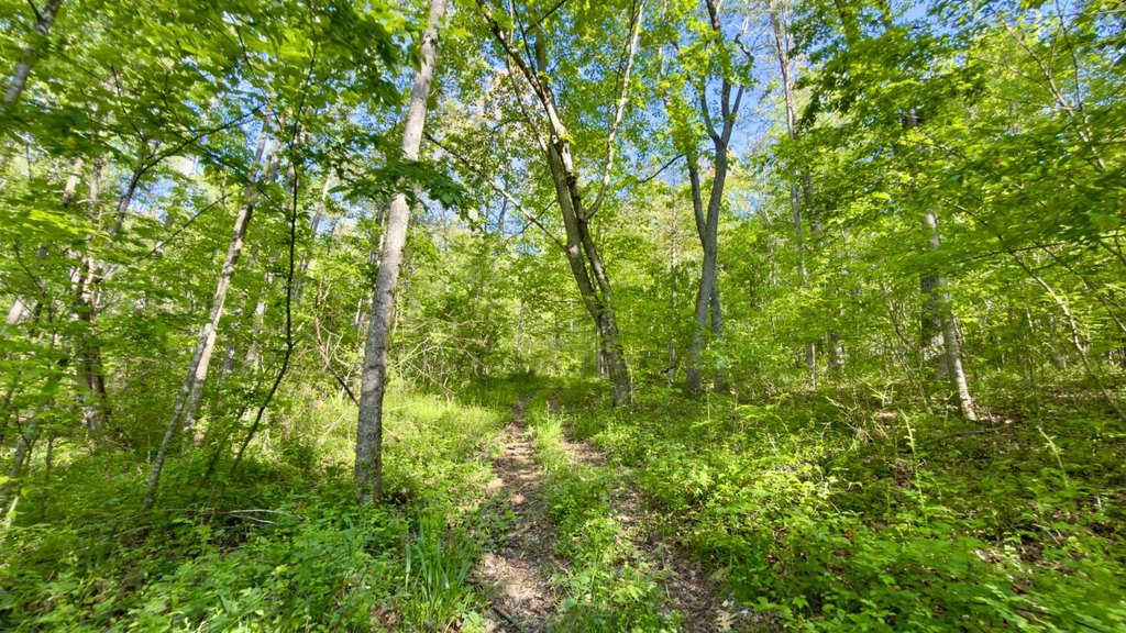
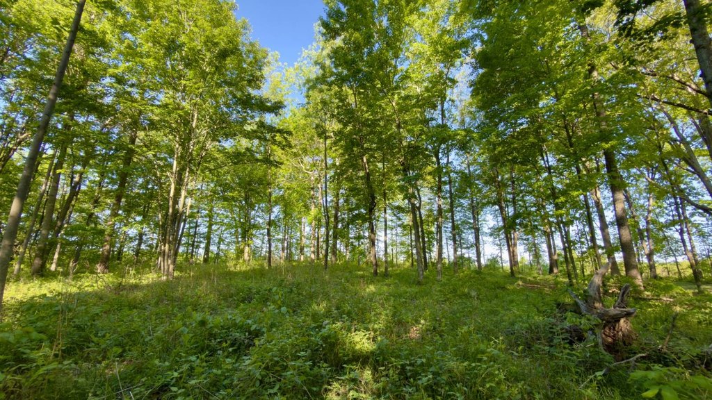
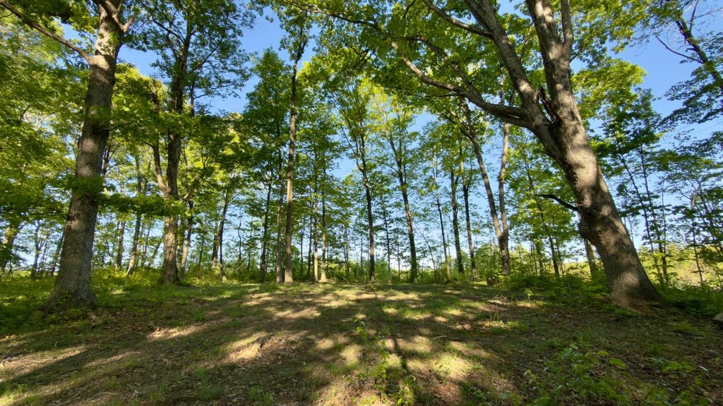
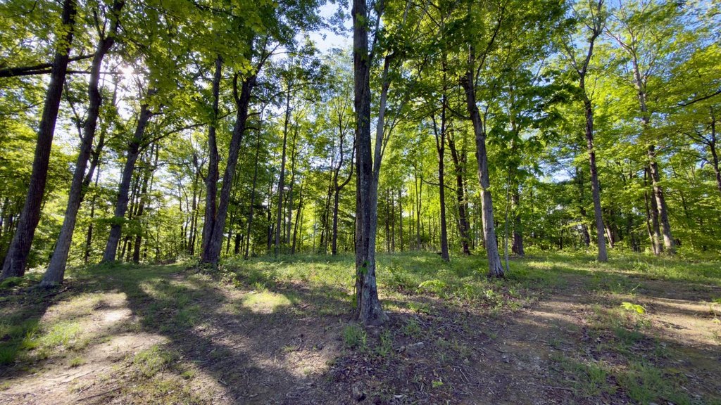
- Multiple natural homesites and relatively level ground near the entrance for potential construction placement.
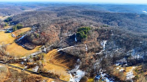
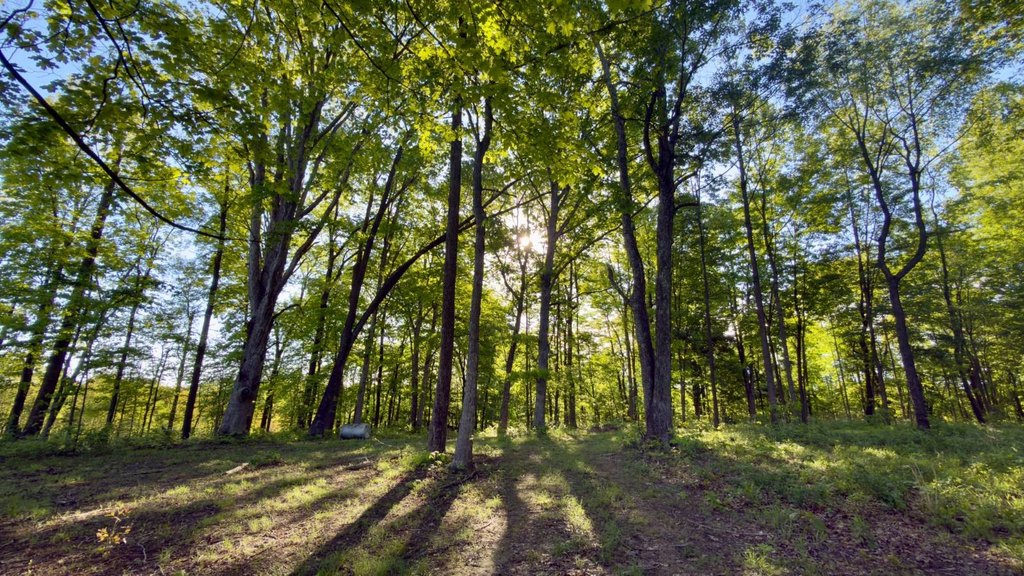
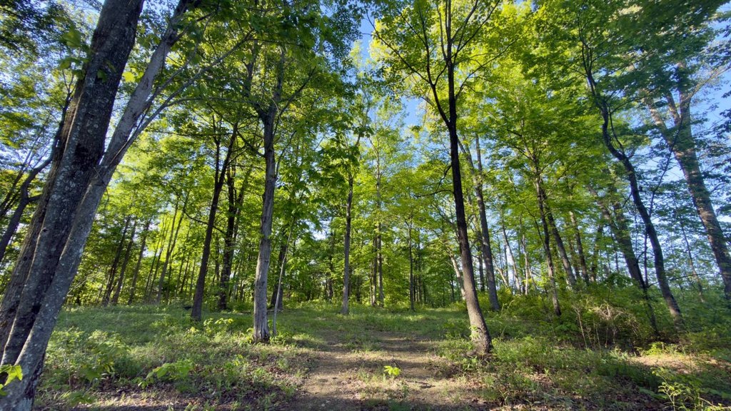
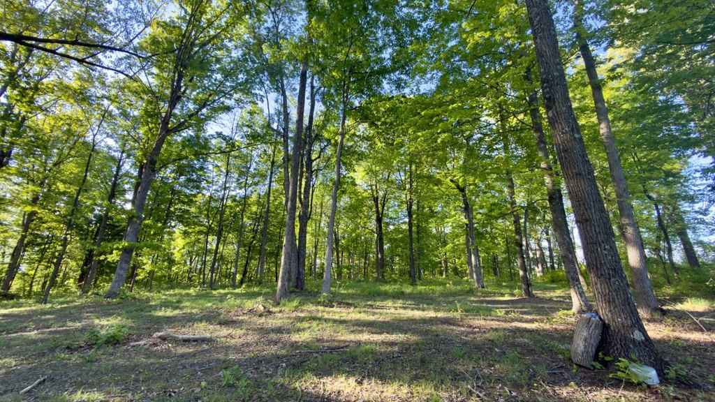
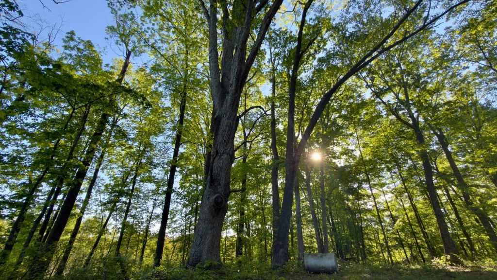
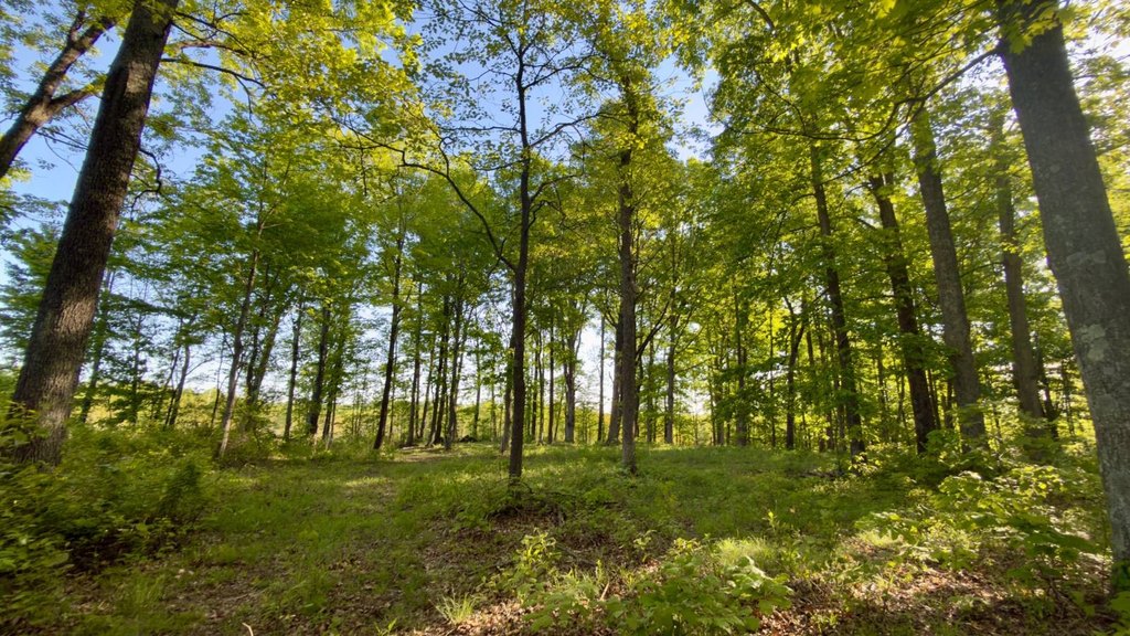
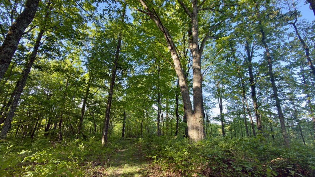
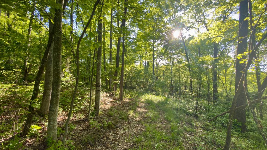
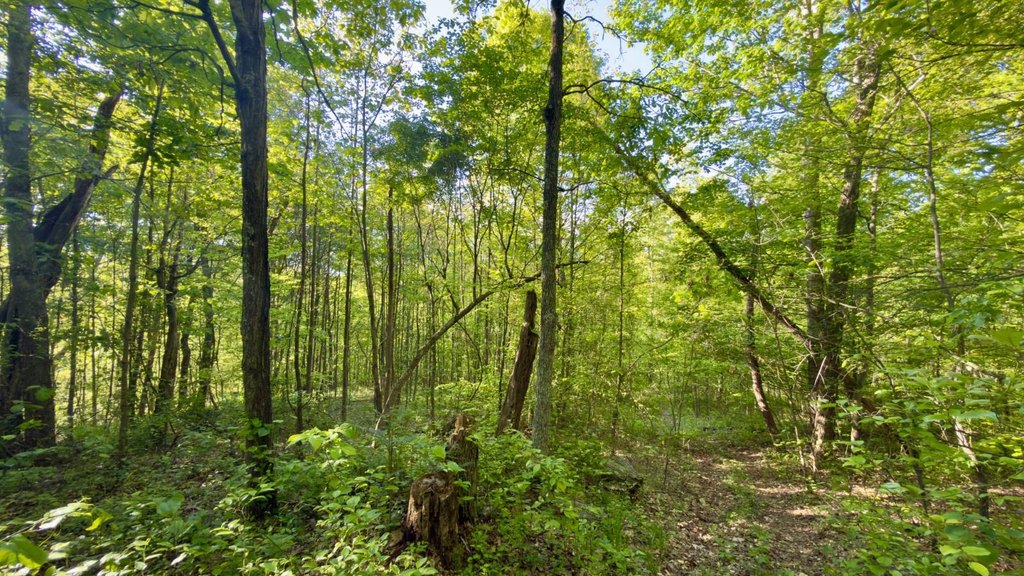
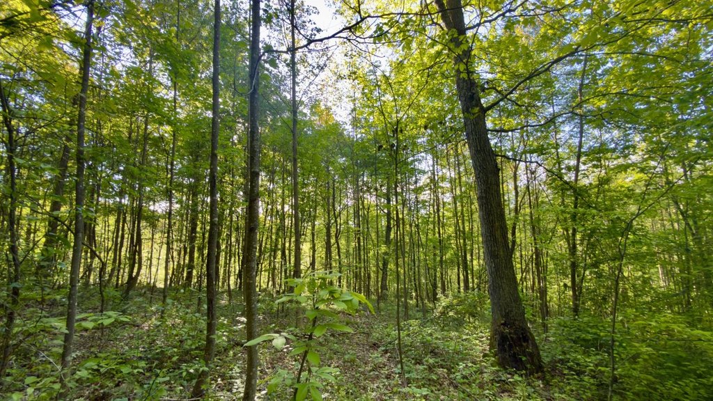
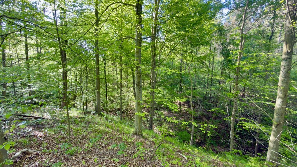
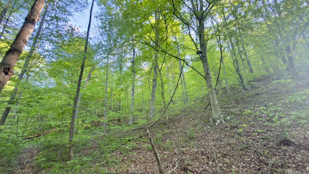
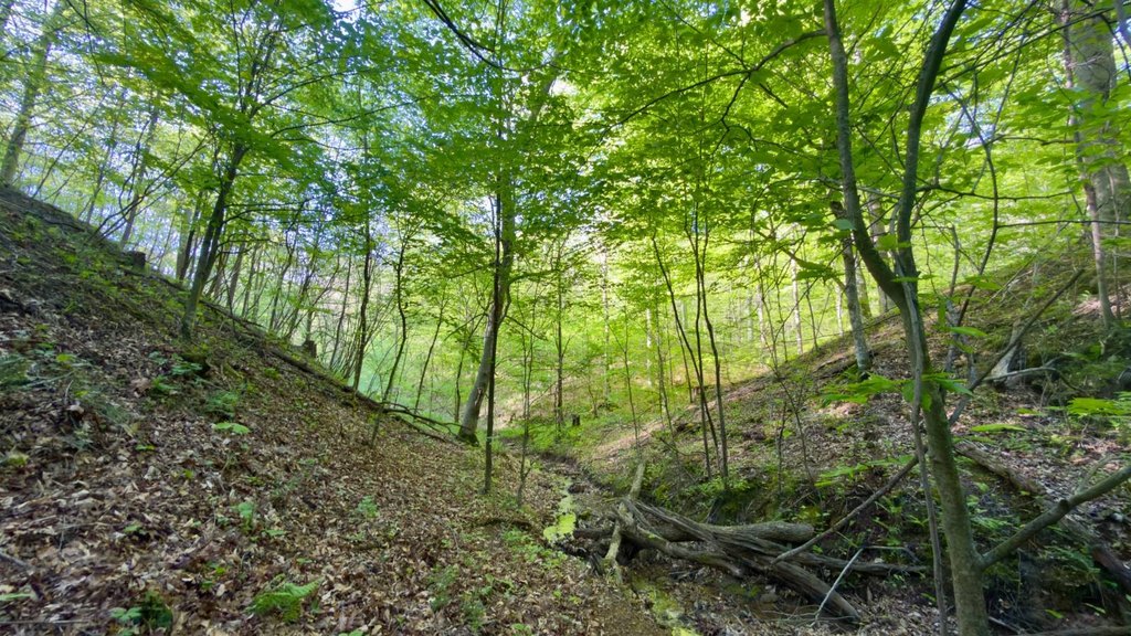
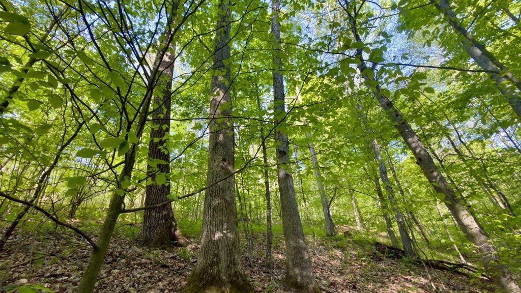
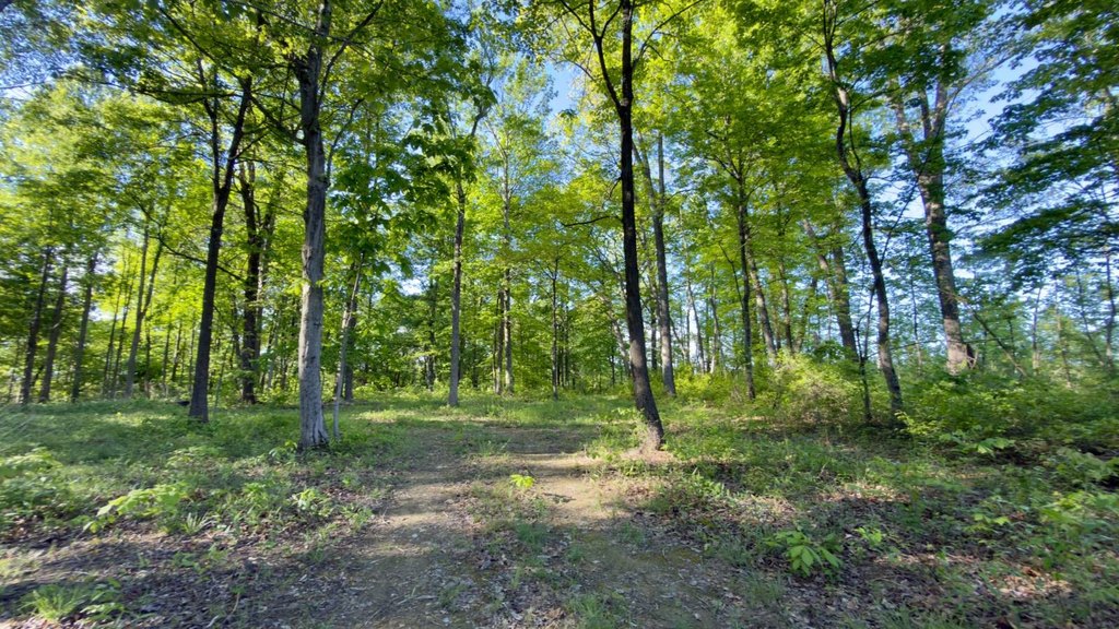
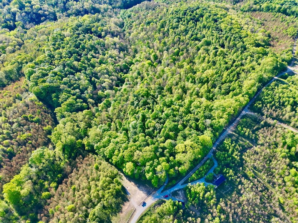
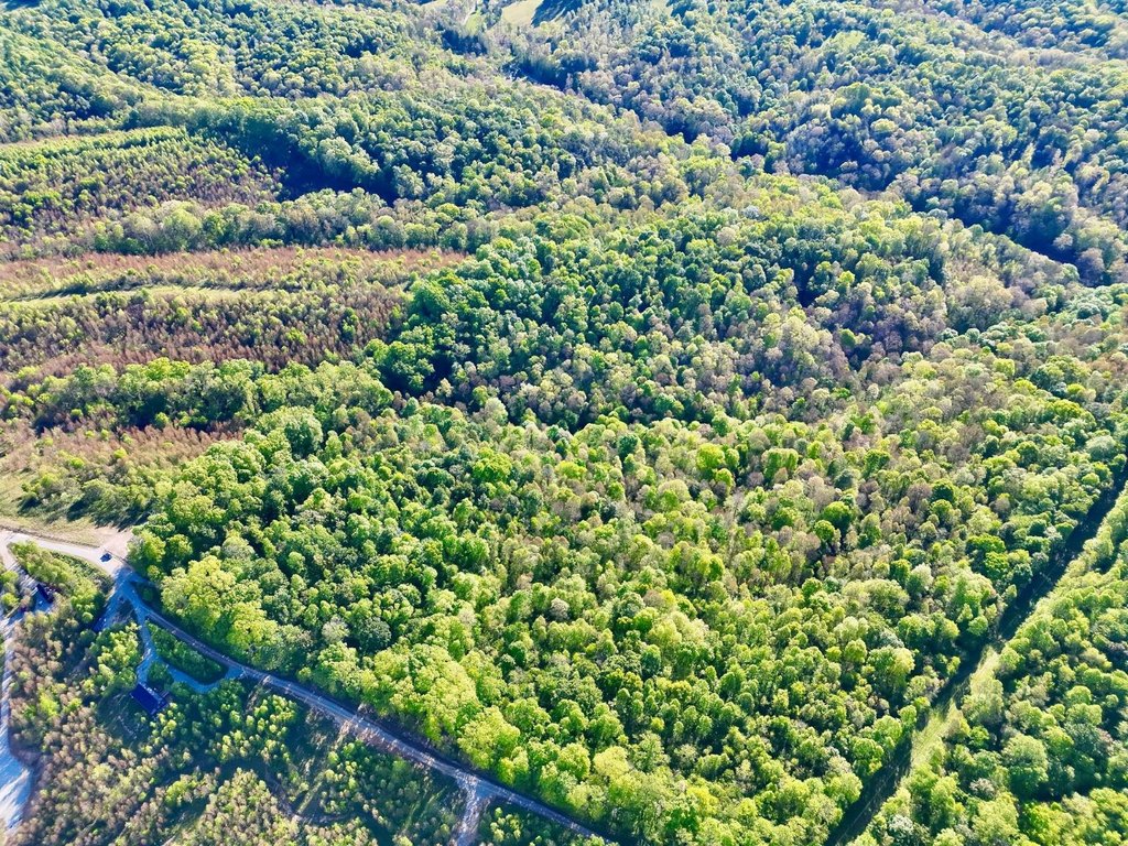
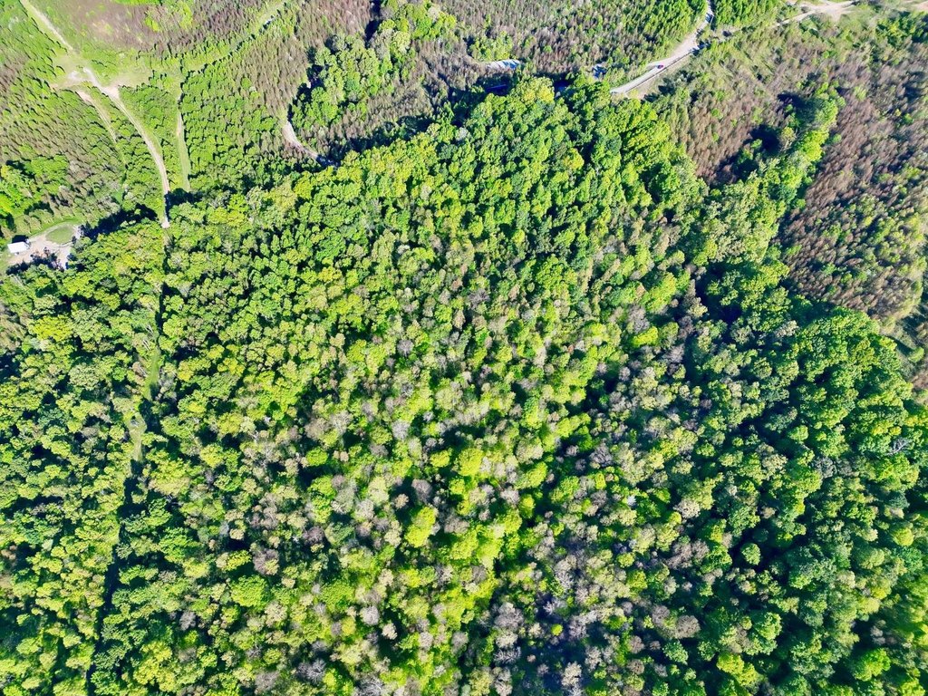
- Wooded terrain with rolling hills and mature hardwood timber, including stands of oak.
- Seller‑owned mineral rights convey; no active wells reported; annual property taxes approx. $342.
Overview
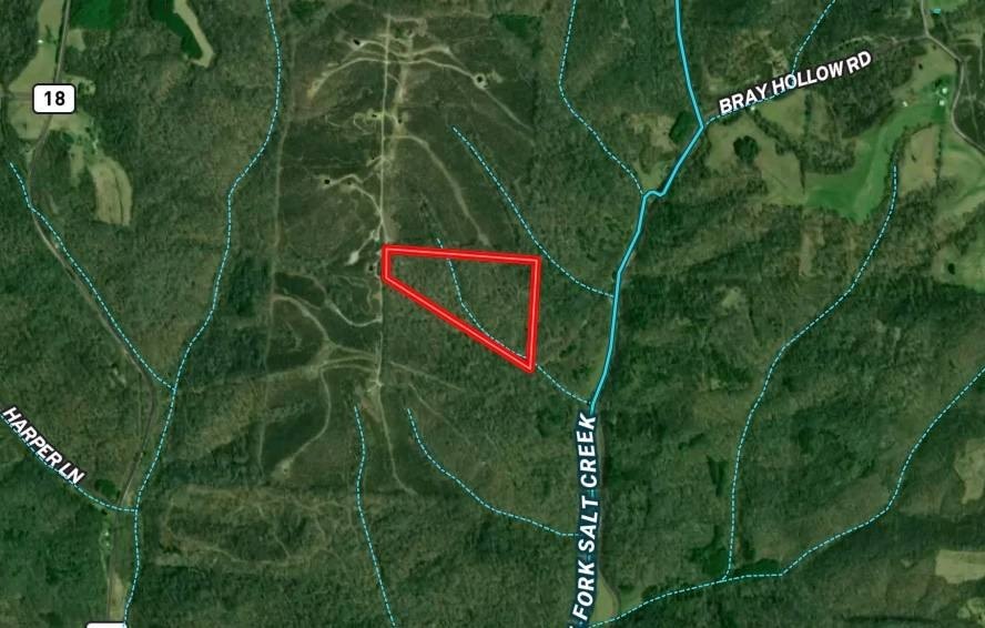
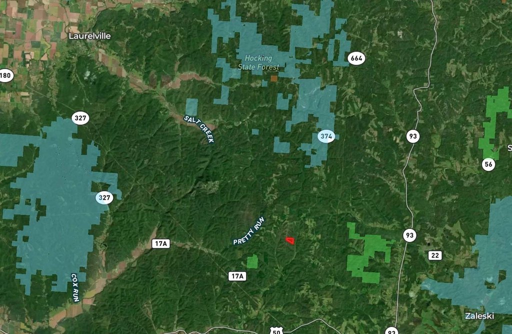
Set at the end of a quiet township road in Vinton County, the parcel is positioned for privacy while still being within driving distance of Hocking Hills area attractions. Ash Cave is approximately 14 minutes away, and Hocking Hills State Park is roughly 18 minutes from the property. Columbus is about 1 hour and 15 minutes away, providing a practical link to a major metro area. Seller-owned mineral rights will convey, and there are no active wells on the property.
The mix of cover, terrain, and established stand locations supports hunting and year-round outdoor activity. Whether you are planning for hiking, ATV use, or general recreation, the property’s natural features and seclusion are designed to accommodate a range of uses. For development-minded buyers, the relatively level ground near the entrance provides a workable starting point for planning cabin placement with private spacing between structures.
Current Use by Public Records
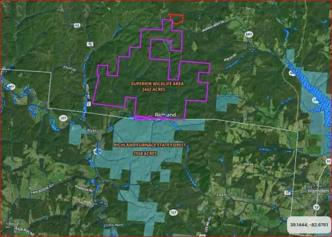
Map
- City
- McArthur
- County
- Vinton
- State
- Ohio
- Longitude
- -82.564907
- Latitude
- 39.335585