Vega Road E lot 35-36 Topock, AZ 86436
- Added:
- Sep 29, 2025
- Days on Market:
- 220
- Last Refresh:
- May 6 at 6:06 am
Property Features for Vega Road E lot 35-36
General Information
- Property type
- Land
- Property subtype
- Other
- Standard status
- Active
- APN
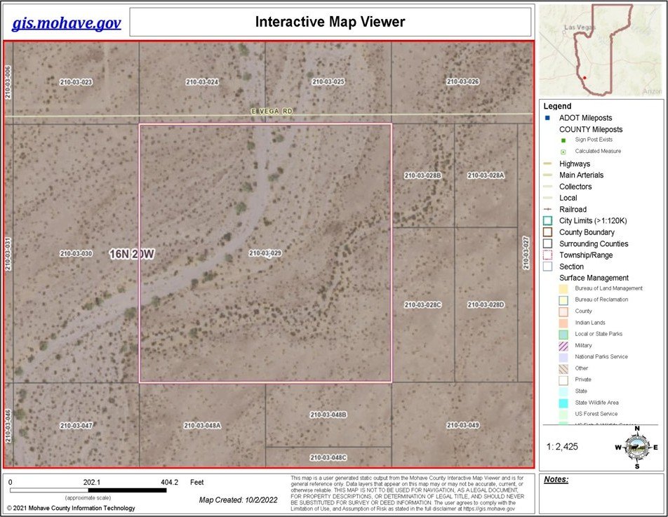
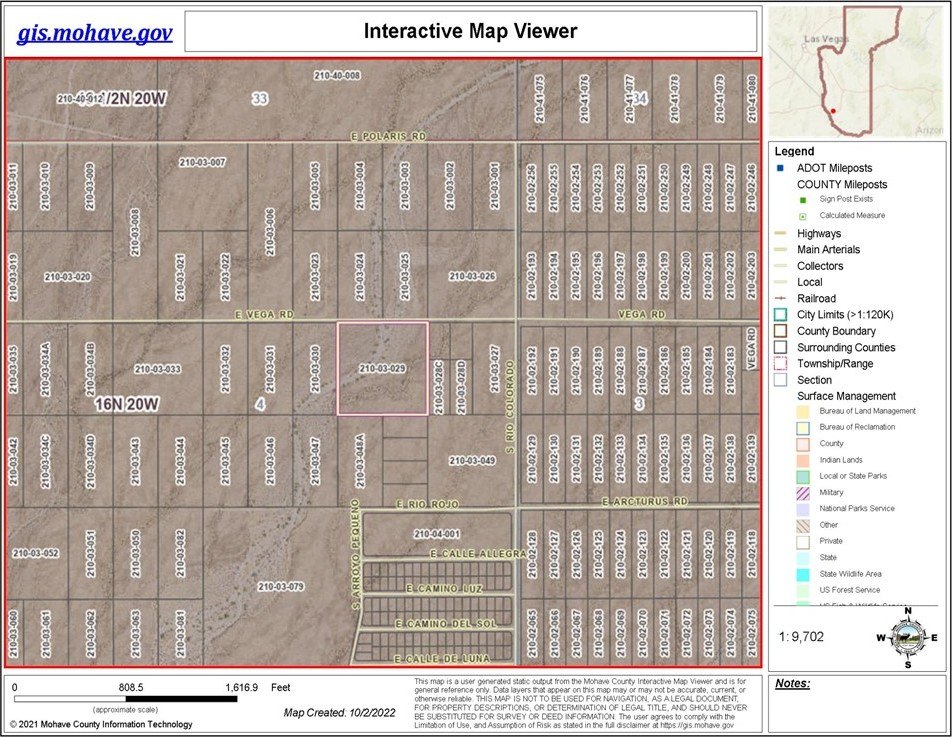
- 210-03-029
- Lot size
- 10.00 Acres
Taxes and HOA fees
- Tax Year
- 2024
- Tax Description
- RIO VISTA UNIT 2 SUBDIVISION LOTS 35 & 36
- Tax Annual Amount
- 21
Utilities
- Sewer type
- Septic Needed
Listing agent David Greenlee License #SA663913000 (907) 322-5560
Listing office Century 21 Americana 94 Acoma Blvd S Suite 200, Lake Havasu City, AZ (928) 855-3015
Listing date Sep 29, 2025
MLS# 032888
Listing URL
Copyright © 2026 Western Arizona Realtors Data Exchange. All rights reserved. All information provided by the listing agent/broker is deemed reliable but is not guaranteed and should be independently verified.
Overview
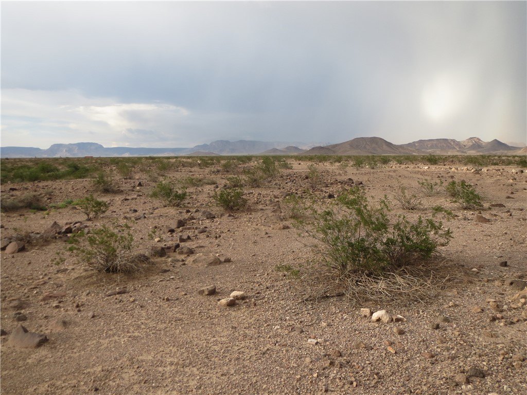
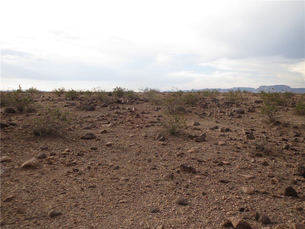
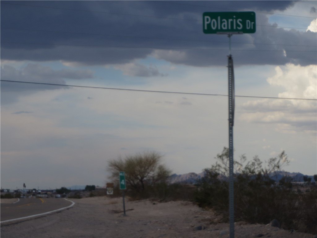
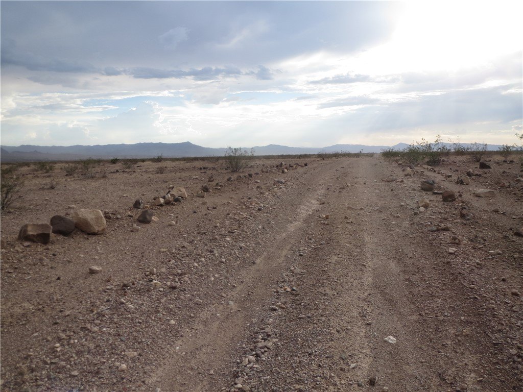
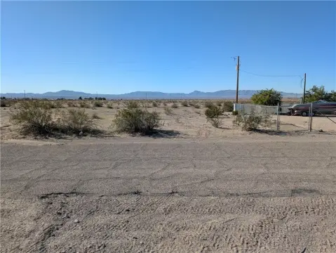
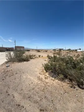
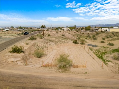
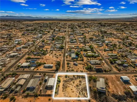
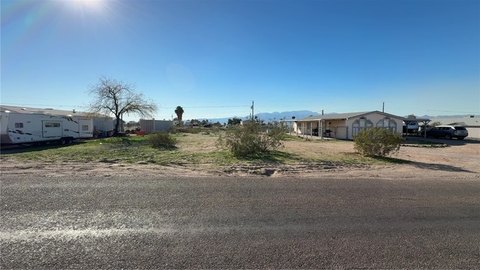
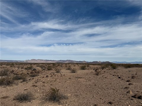
Secluded Arizona Land Parcel
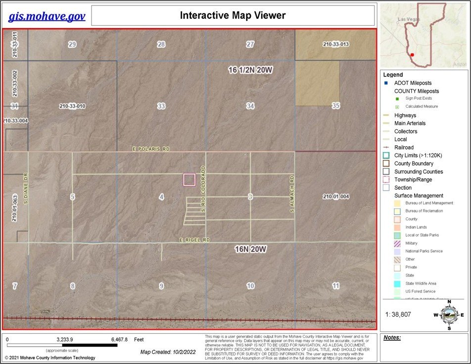
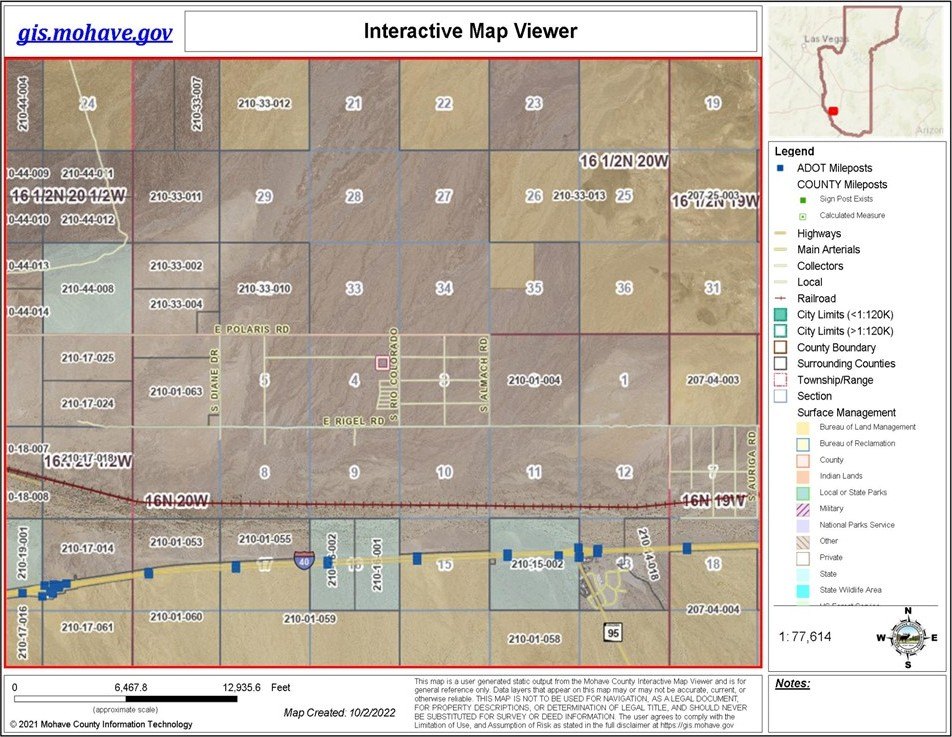
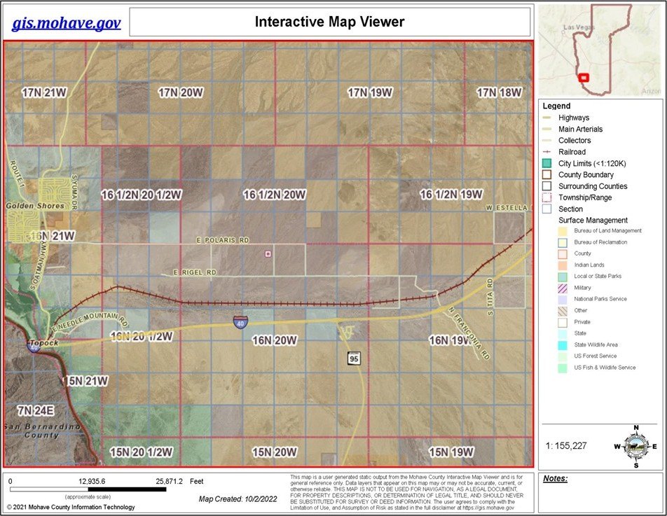
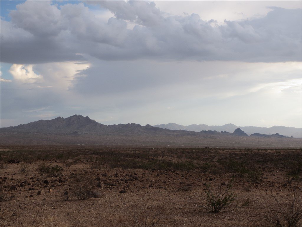
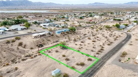
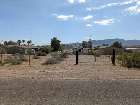
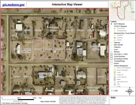
This ten-acre parcel comprises lots 35 and 36 in the Rio Vista 2 Subdivision. The secluded Arizona vacant land is located east of Topock-Golden Shores and north of I-40. Situated south of Polaris on Vega Roads, it is approximately 1/10 mile west of the corner of Vega and Rio Colorado Road. The property has legal access and is suitable for residential or agricultural development, offering an 'off-grid' lifestyle. Its location provides proximity to the Colorado River, Havasu Wildlife Refuge, and the Warm Springs Wilderness Area. The Vega Road NE corner GPS coordinates are Lat. 34.760260 & Long. 114.353888. The Vega Road NW corner GPS coordinates are Lat. 34.760260 & Long. 114.356061. The SE corner GPS coordinates are Lat. 34.758497 & Long. 114.353888. The SW corner GPS coordinates are Lat. 34.758497 & Long. 114. 356061. Four-wheel drive may be necessary depending on road conditions.
Property Profile
Insight Report
Location Intelligence
Current Use by Public Records
Agricultural land / Farmland
Map
- City
- Topock
- County
- Mohave
- State
- Arizona
- Longitude
- -114.468
- Latitude
- 34.7791
Nearby Similar for Sale
FAQs
What type of property is this?
Land - Ten acre parcel ideal for residential or agricultural development.
Where is this land located?
The property is located at Vega Road E lot 35-36 Topock, AZ.
What is the asking price?
The asking price for this property is Off market.
What are key features of this property?
This property features: Ten acre parcel of secluded Arizona land.; Ideal for residential‑agricultural development and off‑grid living.; Close proximity to the Colorado River, Havasu Wildlife Refuge, and Warm Springs Wilderness Area.


