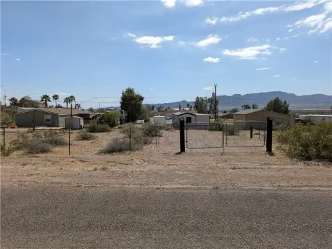
N of Polaris Road Topock, AZ 86436


- Added:
- Sep 12, 2024
- Days on Market:
- 599
- Last Refresh:
- May 3 at 9:06 am
Property Features for N of Polaris Road
General Information
- Property type
- Land
- Property subtype
- Other
- Standard status
- Active
- APN
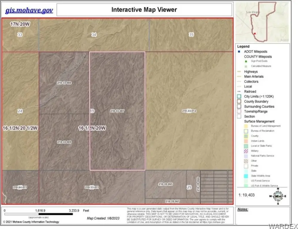
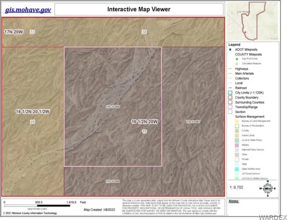
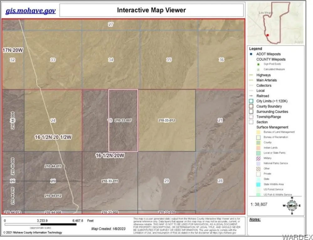
- 210-33-007 & 008
- Lot size
- 498.00 Acres
Taxes and HOA fees
- Tax Year
- 2023
- Tax Annual Amount
- 379
Utilities
- Sewer type
- Septic Needed
Listing agent David Greenlee License #SA663913000 (907) 322-5560
Listing office Century 21 Americana 94 Acoma Blvd S Suite 200, Lake Havasu City, AZ (928) 855-3015
Listing date Sep 12, 2024
MLS# 019746
Listing URL
Copyright © 2026 Western Arizona Realtors Data Exchange. All rights reserved. All information provided by the listing agent/broker is deemed reliable but is not guaranteed and should be independently verified.
Overview
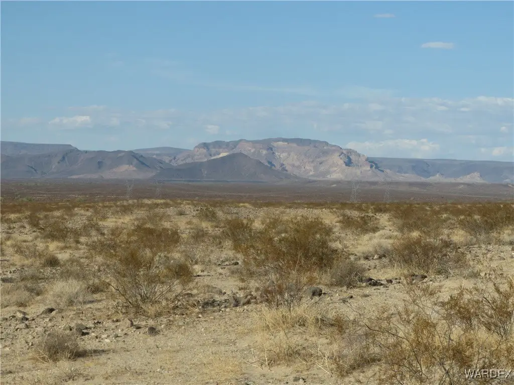
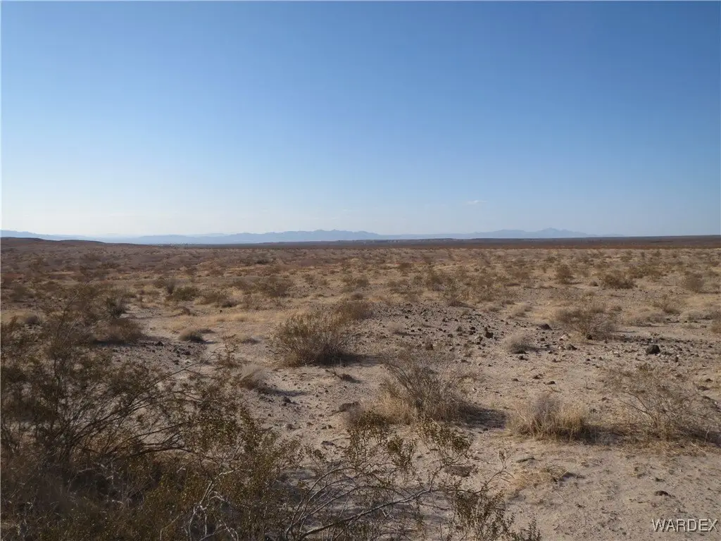
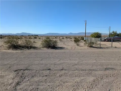
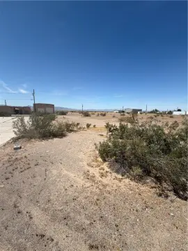
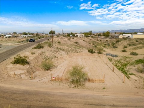
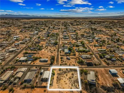
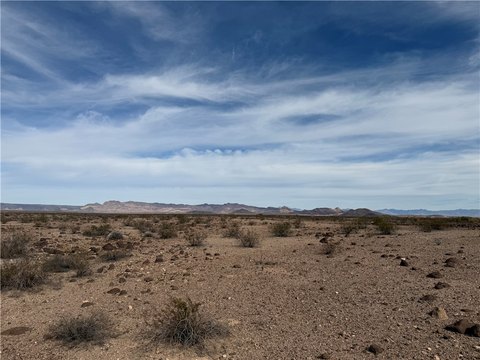
498 Acres of Desert Land
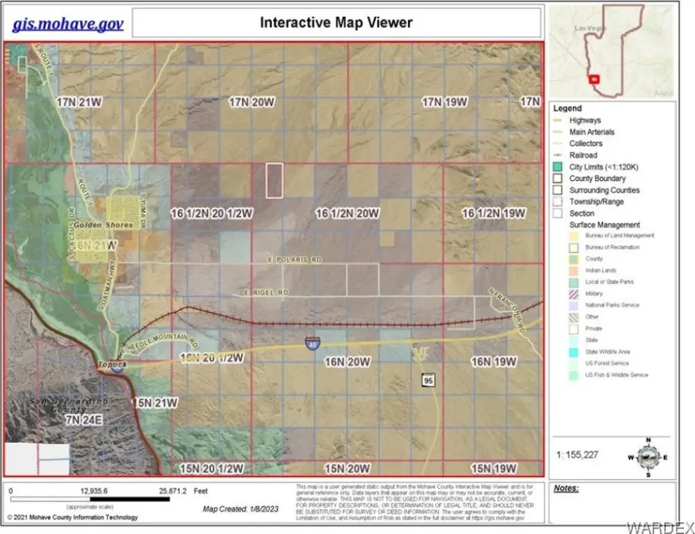
This listing features 498 acres of undisturbed desert land situated in the Colorado River valley. The property is surrounded on three sides by BLM land and consists of two parcels. It is located 2 miles north of Polaris Road and 10 miles from the Colorado River and Interstate 1-40. The Havasu National Wildlife Refuge lies five miles to the west, while the Black Mountains & Warm Springs Wilderness Area are to the northeast. The property comprises the north half and the eastern half of Section 19. The land has not been subdivided or zoned and does not have legal road access, but is easily accessed by off-road vehicle. GPS coordinates are provided for the corners of both parcels. Parcel 210-33-007's coordinates are: SE Corner Lat. 34.792828 N Long. 14.386871 W, SW Corner Lat 34.792828 N Long 114.395679 W, NW Corner Lat. 34.808042 N Long. 114395722 W, NE Corner Lat. 34.808052 N Long 114.386892 W. Parcel 210-33-008's coordinates are: NE Corner Lat. 34.808046 N Long. 114.395725 W, NW Corner Lat. 34.808042 N Long. 114.403788 W, SW Corner Lat. 34.800054 N Long. 114.403790 W, SE Corner Lat. 34.800065 N Long. 1114.395695 W.
Location Intelligence
Current Use by Public Records
Agricultural land / Farmland
Map
- City
- Topock
- County
- Mohave
- State
- Arizona
- Longitude
- -114.468
- Latitude
- 34.7791
Nearby Similar for Sale
FAQs
What type of property is this?
Land - Undisturbed desert land near Havasu National Wildlife Refuge.
Where is this land located?
The property is located at N of Polaris Road Topock, AZ.
What is the asking price?
The asking price for this property is $249,000.
What are key features of this property?
This property features: 1.498 acres of undisturbed desert land.; Surrounded on 3 sides by BLM land.; Close proximity to Havasu National Wildlife Refuge and Black Mountains & Warm Springs Wilderness Area.


