TL2000 Ruh-Red Ln., Burns, OR 97720
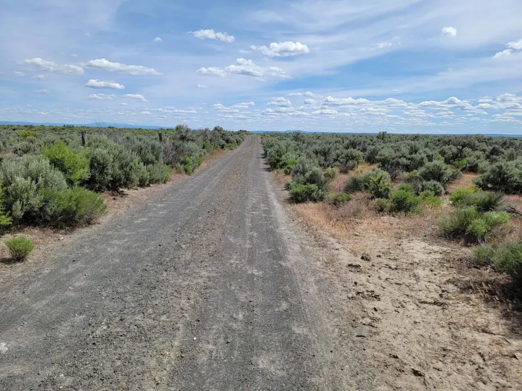
- Added:
- Oct 8, 2024
- Days on Market:
- 637
- Last Refresh:
- Jul 6 at 4:06 am
Property Features for TL2000 Ruh-Red Ln.
General Information
- Property type
- Land
- Property subtype
- Other
- Standard status
- Active
- Lot size
- 160.00 Acres
Taxes and HOA fees
- Tax Annual Amount
- 188
Utilities
- Water source
- Well
Listing agent Kristina Roberts (541) 633-4350
Listing office COUNTRY PREFERRED REALTORS 121 E. MAIN ST, Burns, OR (541) 728-8623
Listing date Oct 8, 2024
Copyright © 2026 My State MLS. All rights reserved. All information provided by the listing agent/broker is deemed reliable but is not guaranteed and should be independently verified.
HighLights
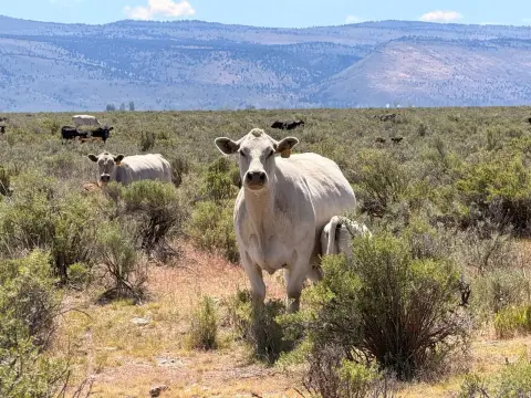
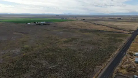
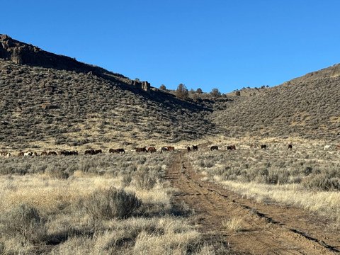
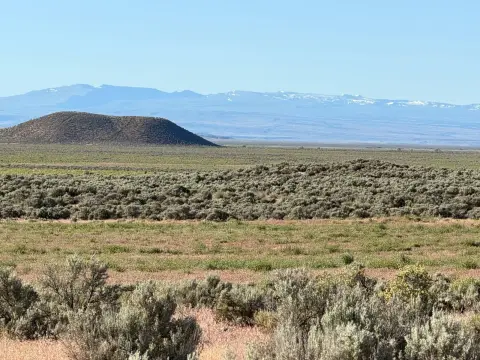
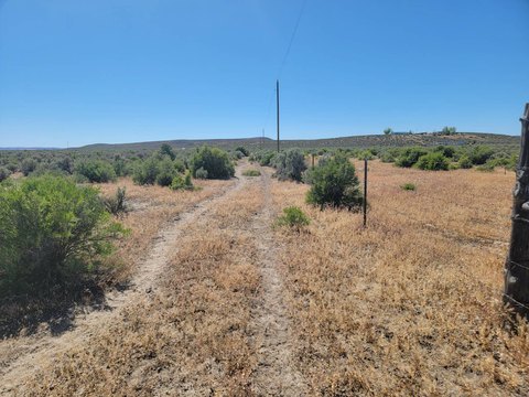
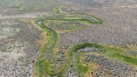
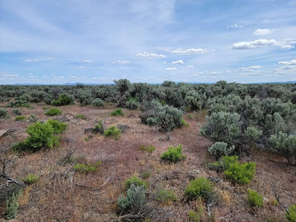
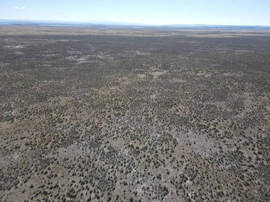
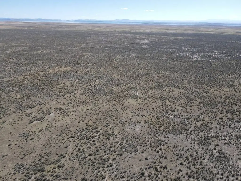
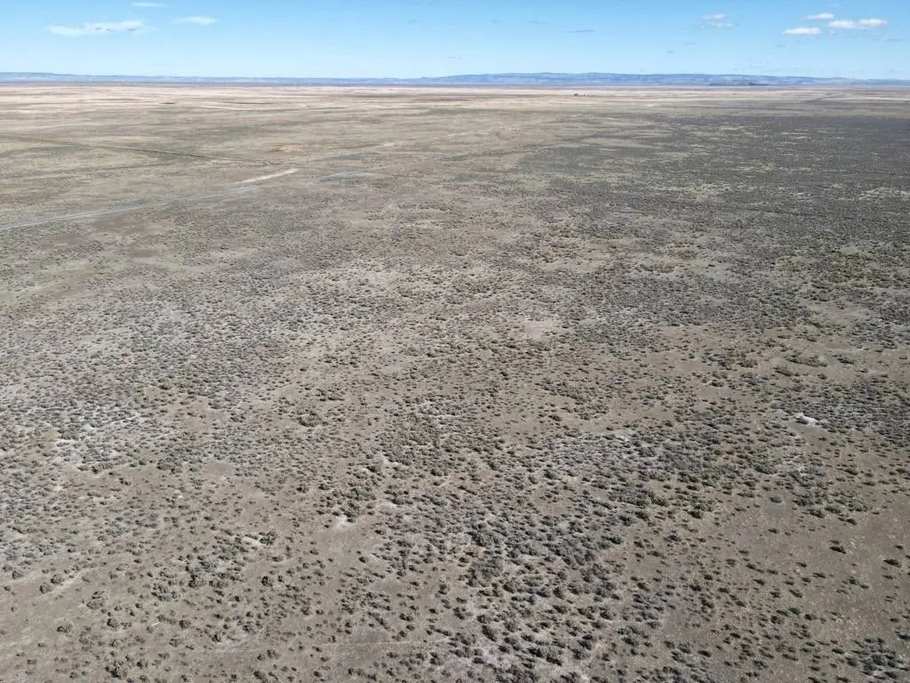
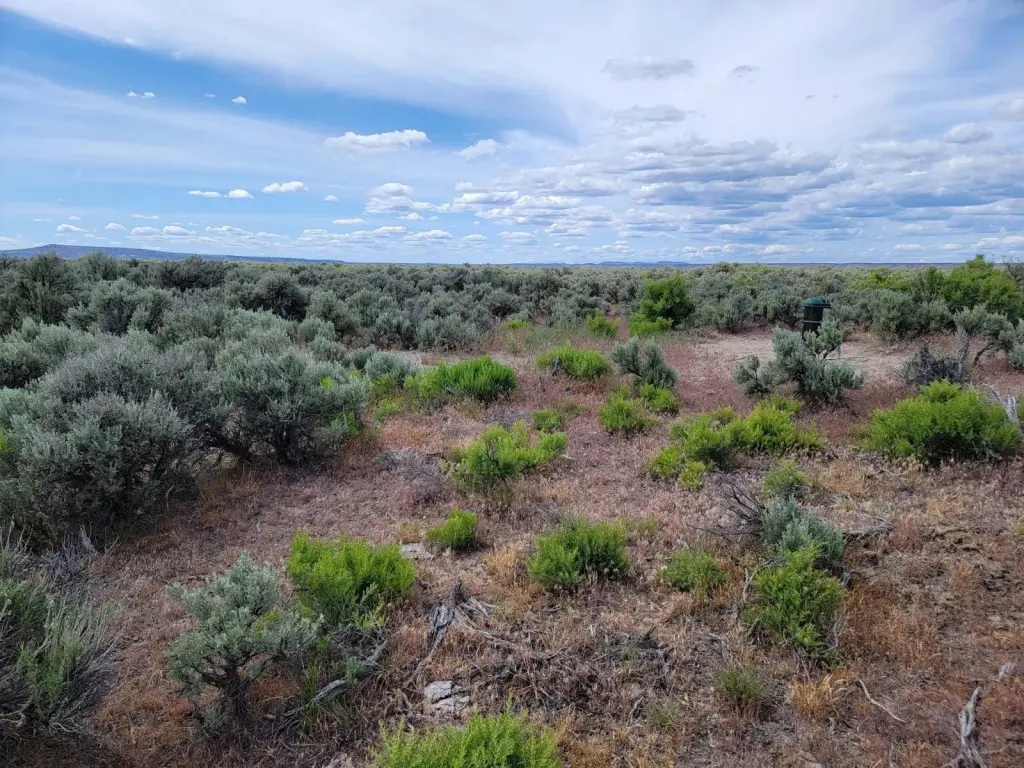
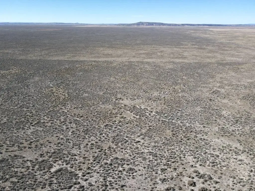
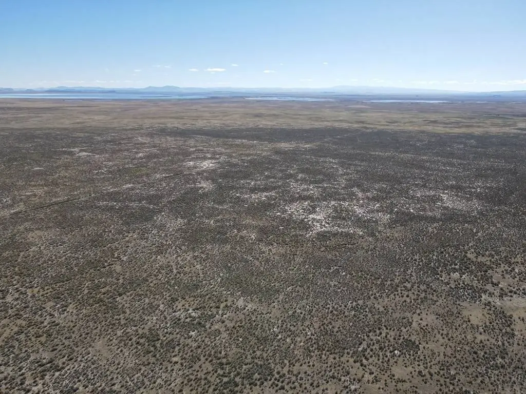
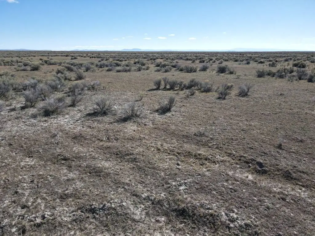
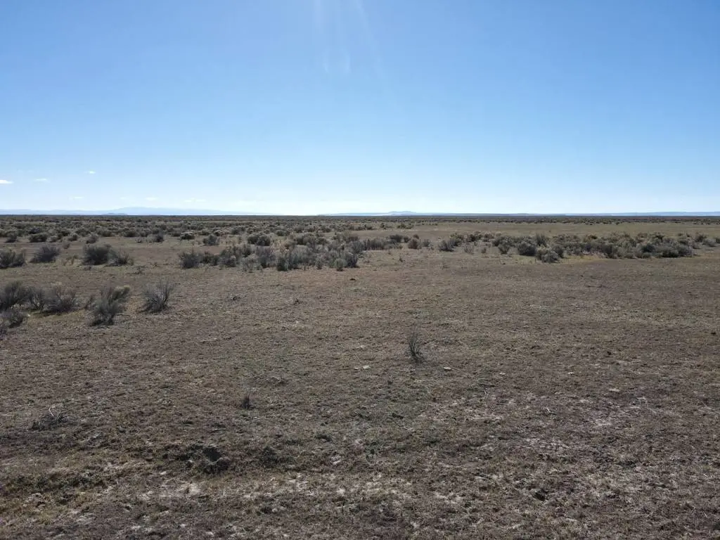
- 160 acres of scenic land with expansive views and privacy in southeastern Oregon
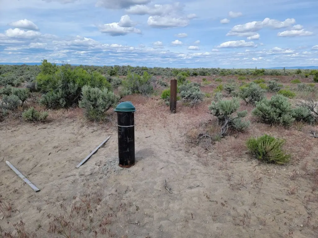
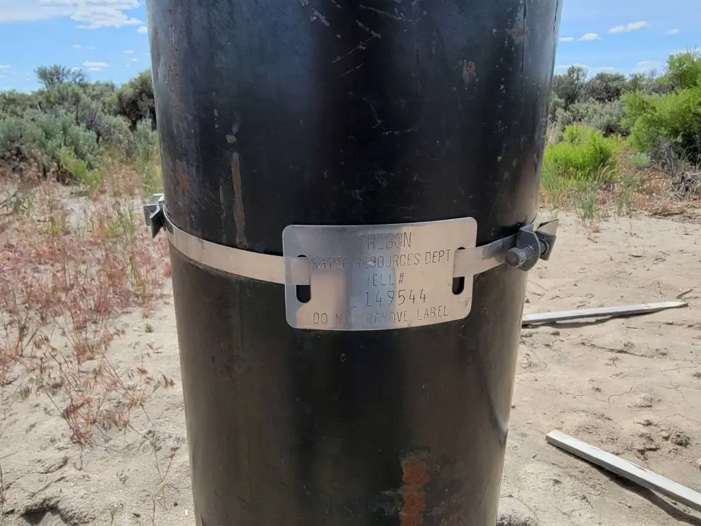
- Well already in place; water test is available
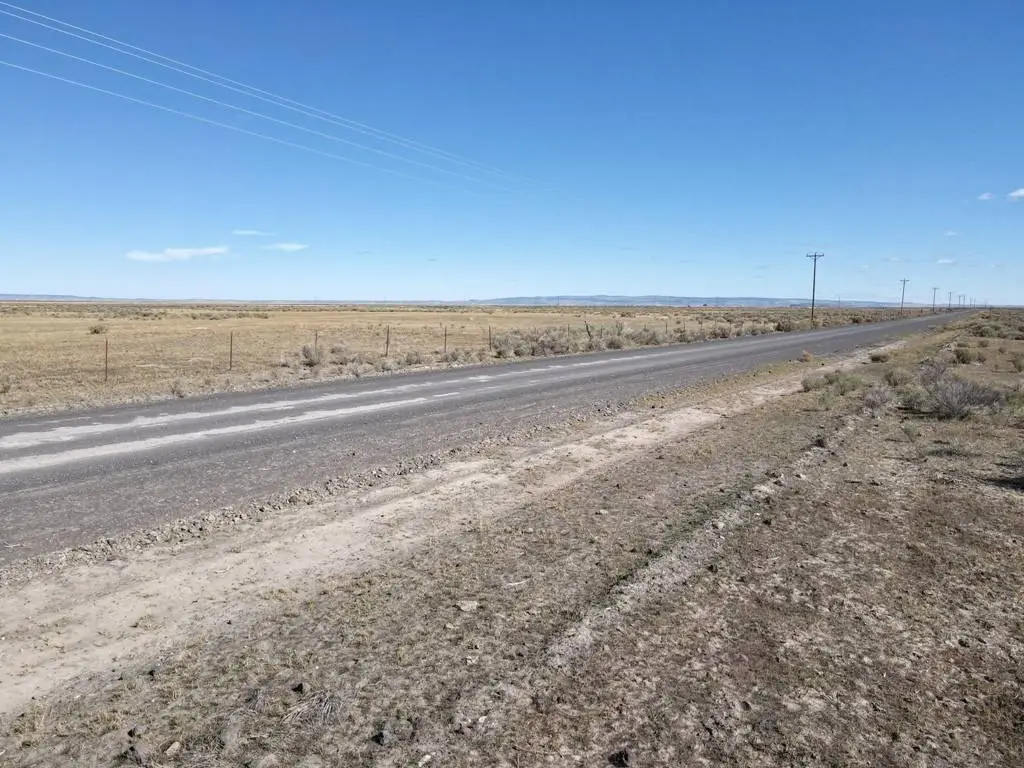
- Access via a well‑maintained gravel road; seller is securing legal access through an easement
- Electricity is nearby on Ruh Red Lane
- To build a residence: obtain a Conditional Use Permit (CUP) and install a septic system
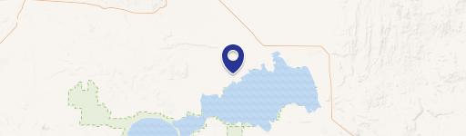
- Only about 20 miles south of Burns near Narrows Restaurant & RV Park and Malheur National Wildlife Refuge
Overview
The property is located about 20 miles south of Burns in Harney County, near the Narrows Restaurant & RV Park and the Malheur National Wildlife Refuge. Access is provided by a well-maintained gravel road, and the seller is currently in the process of securing legal access through an easement.
The tract’s layout and acreage support flexible use, including building a primary or secondary residence (subject to permitting), placing a manufactured home, creating a recreational property, or supporting grazing activity. The seller indicates financing is available with 35% down and 3.5% interest, with options for a 3-year or 5-year term, subject to seller terms and qualification.
Current Use by Public Records
Map
- City
- Burns
- County
- Harney
- State
- Oregon
- Longitude
- -118.937012
- Latitude
- 43.381276